Enclosure / Settlement: OS Grid Reference – SD 9966 5046
Also Known as:
- Cawder Hall Enclosure
- MNY21002
- Scheduled Monument 29151
From Skipton town centre follow the A6131 road south, out of town, for less than a mile, and turn left up Cawder Lane. Avoid following the road into the housing, instead bearing up the country lane to your left. Just before reaching the farmhouses 200 yards up, note the stony hilltop above you on your left (up behind Horse Close Farm). Walk up there for 250 yards NE and you’ll find it!
Archaeology & History
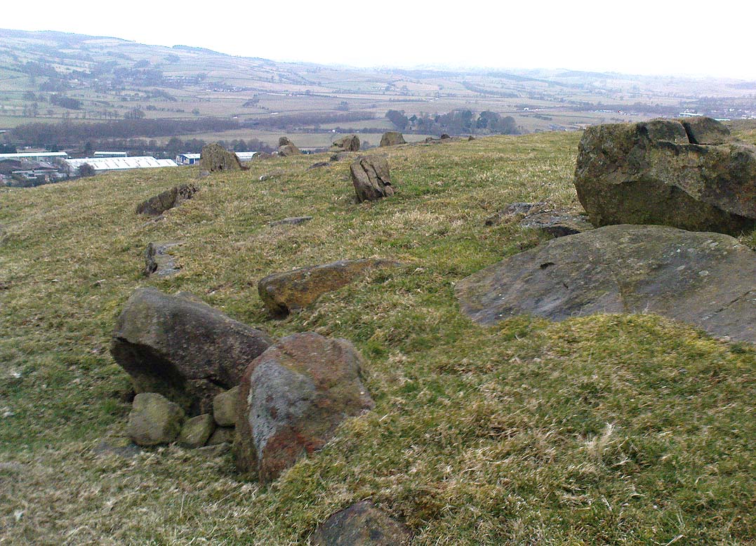
This is an impressive site. I’d say very impressive! (but I’m easily pleased) Oddly however, I can’t find a damn thing about this place in any of my archaeo-records and it appears (as far as I’m aware) that no survey has ever been made of it. Which is bloody incredible! Indeed, the only archaeological notes that appear to exist about this very impressive and well-preserved Iron Age enclosure, states, “Subcircular enclosed settlement on Horse Close Hill 250m north of Horse Close Farm.” That’s it! Nothing else! So I’m afraid you’ve only got my crappy description of it to go on for the time being…
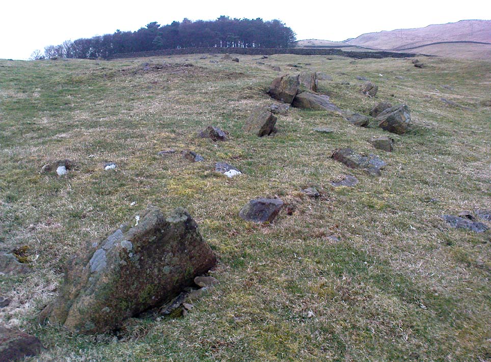
As the aerial image below shows, this is a large oval-shaped enclosure, defined primarily by an almost complete ring of double walling arranged around this hilltop site. Measuring approximately 78 yards (71m) north-south, and nearly 75 yards (70m) along its longer east-west axis, with a circumference of about 235 yards (215m), many of the upright stones which define its edges stand between 1-3 feet in height. Some of these stones have obviously been moved into position by the lads who built the structure, but the site has also taken advantage of a number of large earthfast boulders in its construction.
If you walk around the edges of the walled enclosure, almost every bit of it is clearly visible. Between the defining inner and outer walling of the structure we find sections of the site packed with smaller stones, giving the impression that it may once have been filled all round, making the walls thick strong defensive ones. But without a more detailed investigation, we’ll never really know…

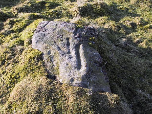
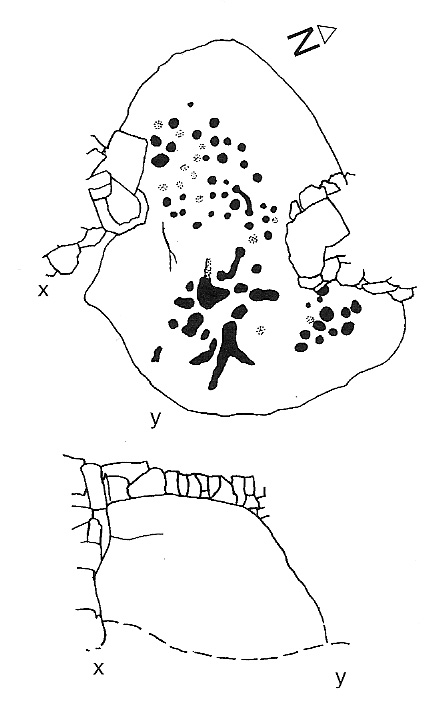
It is clearly very similar in structure, and probably date, to the well-known Brackenhall circle on Shipley Glen, near Baildon (though the nature of the Brackenhall site has long been a topic of controversy). And, as with the Brackenhall site, a number of cup-and-ring stones are found close by — including the Great Wood Laithe carving in the field immediately below on the west side. I’ve also found a similar structure to this on the hills above Steeton, a few miles to the south (though it’s not as well-defined as this one).
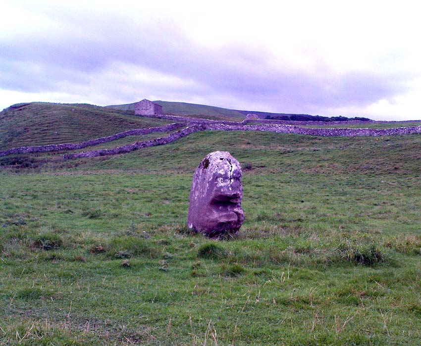
Although the site is mainly defined by its oval walling, we also find other stretches of walling that run outwards from the central site: one in particular running northeast for 35 yards out towards a small standing-stone further up the field. Other curious earthworks and remains scatter the fields on the eastern sides of this main feature, which the helpful farmer here pointed out to us.
© Paul Bennett, The Northern Antiquarian
