Stones Farm, Todmorden, West Yorkshire

Standing Stones:  OS Grid Reference – SD 92520 23593 and SD 92256 23800
Getting Here

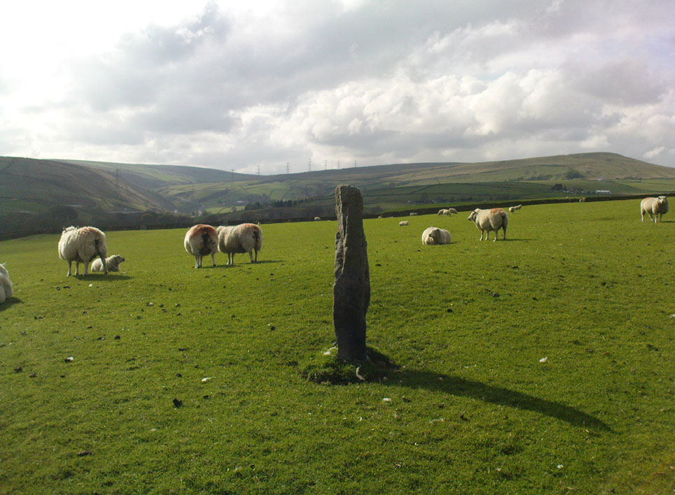
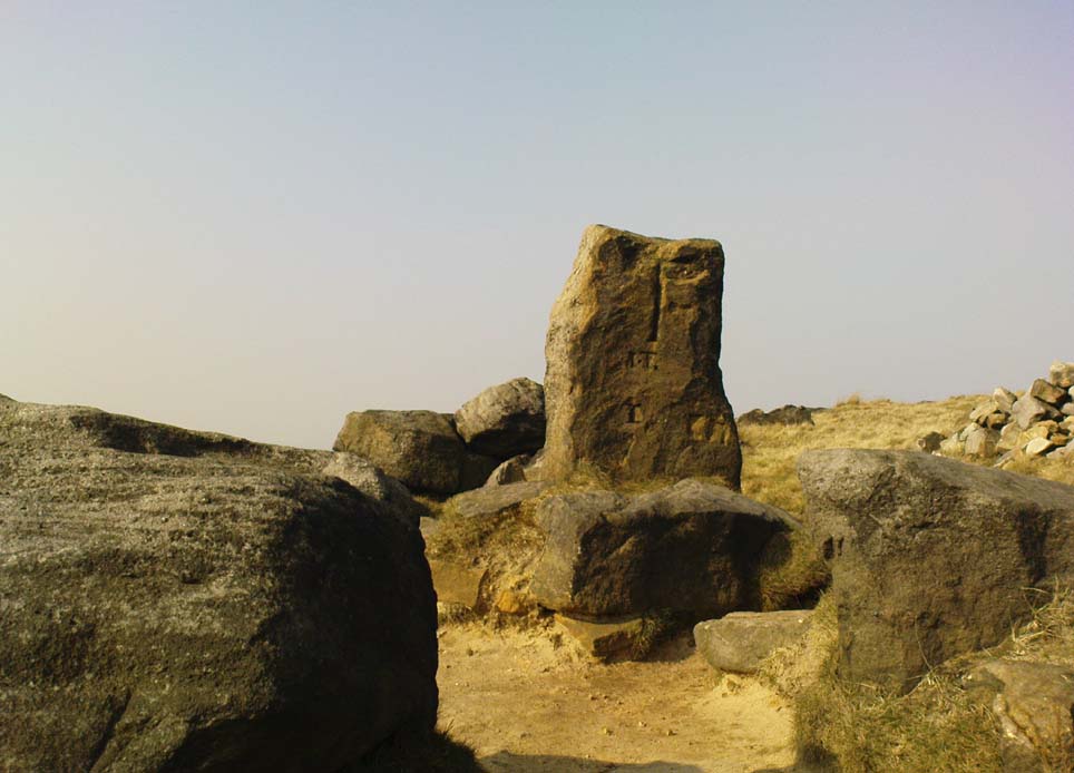
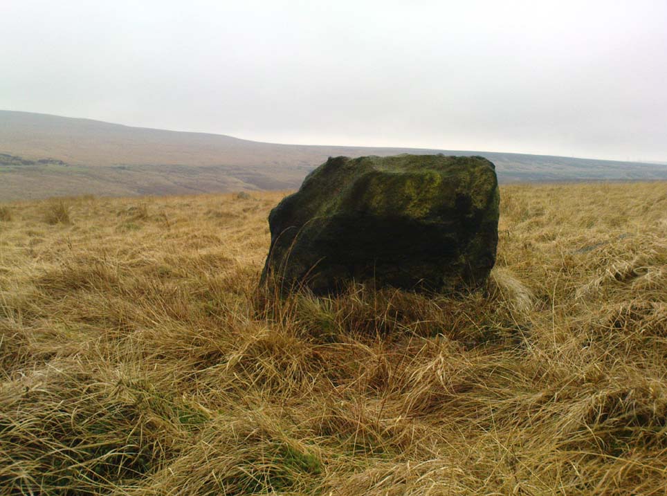
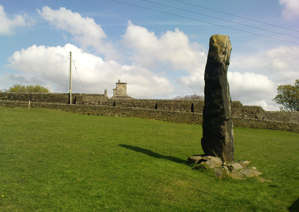
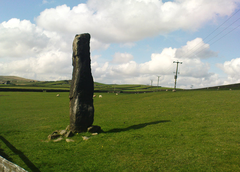
One of the Stones monoliths, looking west

If you wanna drive here, be prepared for a long uphill winding haul, with very poor turning, single-track roads and no parking spots.  It’s dodgy as hell!  But, if y’ must – from the central roundabout in Todmorden, take the road diagonally across as if you’re going to the train station, and barely 50 yards up, take the right turn under the railways arches, bearing sharp left, then up the very steep zigzagging dangerous road for a mile or so.  You’ll eventually reach Stones Lane on your left.  Go down this, nearly to the end, slowly – and keep your eyes peeled until you see the big one!  You can’t miss it!  If you want walk up (a much safer, healthier and preferable route), take the Calderdale Way route up past Dobroyd Castle, and where you get to the top of the hill and the fields open up ahead of you, look down the slope into the field for one stone, and up past the shrubs to Centre Hill.  You can’t miss them!

Archaeology & History
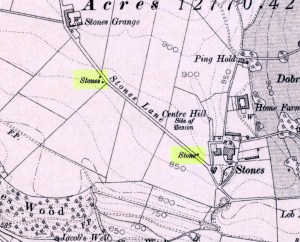
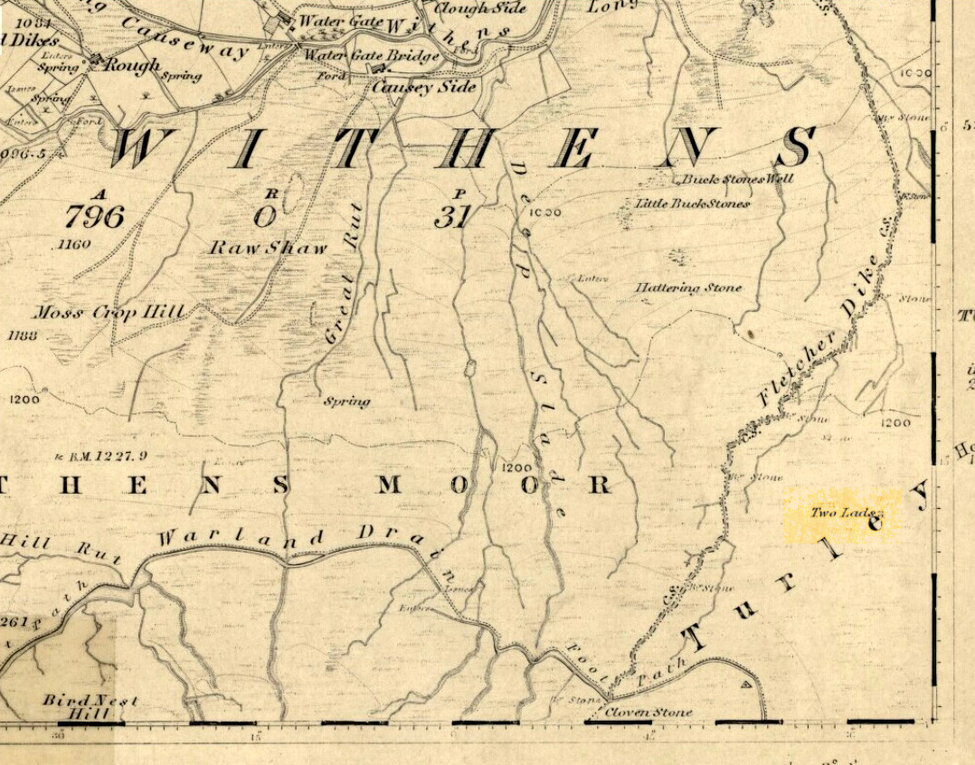
Three 'stones' on 1911 map
Three ‘stones’ on 1911 map

This is a quite extraordinary sight to those who visit here for the first time.  Moreso because, until very recently, the place was excluded from all text-books and surveys.  But if you like your megaliths, this place is well worth the trek up the hill.  You’ll be amazed!  The tallest and largest of these giant monoliths was recorded when a team from Ordnance Survey mapped the area in 1844, but gave no antiquated note to it.  When another Ordnance Survey team re-surveyed the area again in 1911, they noted two other ‘stones’ three fields away to the northeast.  More than a decade later, the industrialist historian Abraham Newall (1925) described them at some length in his fine work on the region.
Stone 1, looking NW
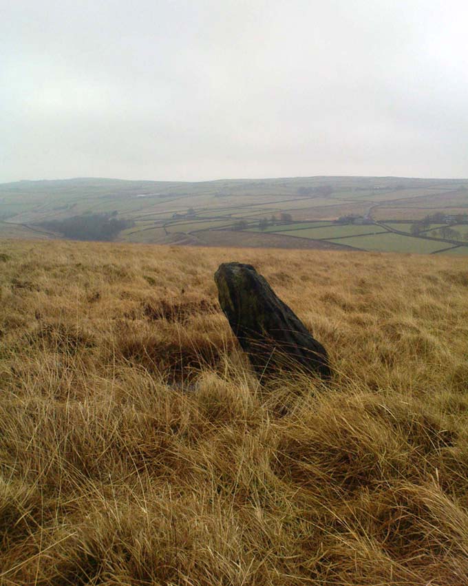
Stone 2, at top of hillock (soz about the crap picture)

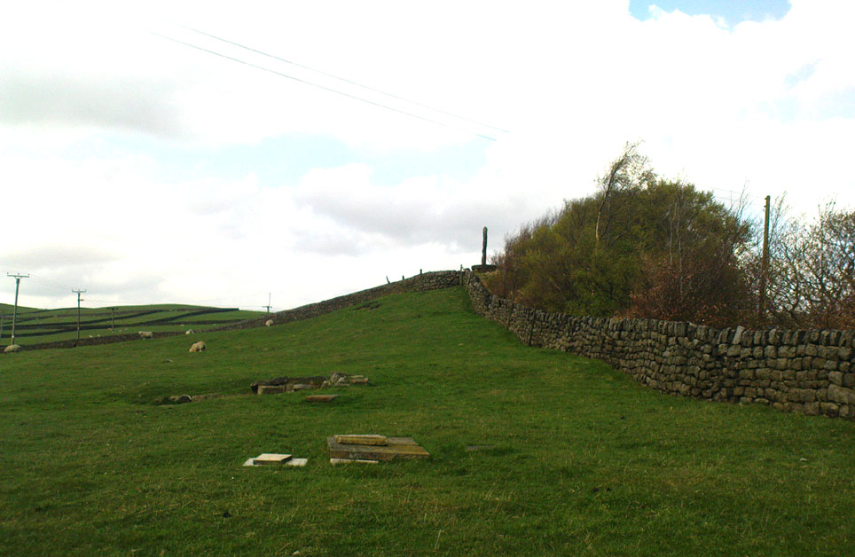
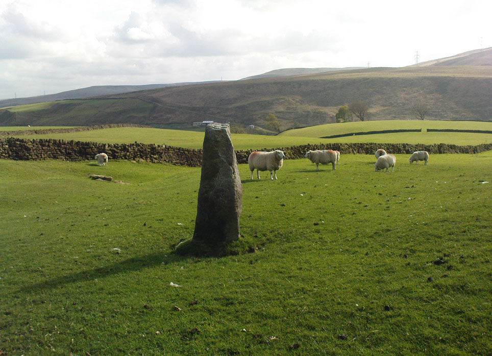
The first thing generally noticed is the 12-foot tall standing stone near the bottom of the field (stone 1). Then you’ll see the curiously-worked thin standing stone, nearly as tall, on the hillock at the top of the same field (stone 2). This stone has been surmounted onto an old millstone and the hillock itself was once an old beacon hill.  Then on the other side of the road a few hundred yards along, another stone just over 4-feet tall can be seen (stone 3); and in the same field is another one laid down at the side of a well (stone 4). This stone used to stand just where the water appears.  It’s seems probable that other standing stones may once have been in close attendance, but have been destroyed over time.
Stone 3, looking south
Stone 3, looking west

Stone 1 is hemmed in at the base by several stones, giving the impression that it was resurrected at some time in the recent past. Several local stories attest to this. Stone 2 was once further down in the same field but was moved to its present position in the 19th century and was, it is alleged, moved there to commemorate the Battle of Waterloo.  Several local historians contest this.  Stone 3 has nothing said of it; apart from by the local farmer who said it once had a companion (as illustrated on the early map, above).  We were told that this companion (stone 4) was uprooted and a spring of water appeared where it stood, so they laid it down in the position it still occupies, just by the spring 10 yards into the field.

If you’re into megaliths and live in Yorkshire or Lancashire, check these beauties out! Just respect the local farmer – he’s not into ignorant tourists clambering over walls. (don’t say you’ve not been warned!)

References:

  1. Bennett, Paul, The Old Stones of Elmet, Capall Bann: Milverton 2001.
  2. Newell, Abraham, A Hillside View of Industrial History, J. Bentley: Todmorden 1925.

© Paul BennettThe Northern Antiquarian


Robin Hood’s Bed, Blackstone Edge, Lancashire

Legendary Rocks: OS Grid Reference – SD 97204 16356

Getting Here

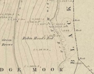
Robin Hoods Bed on 1851 map

Follow the same directions to get to the Aiggin Stone.  Once here, go over the stile by the fence opposite towards the great geological ridge less than half-a-mile south.  Head for the triangulation pillar right on the top of the ridge, and there, about 20 yards past it, higher-up than the triangulation pillar at the very top of Blackstone Edge, is Robin Hood’s legendary stone bed!

Archaeology & History

Robin Hoods Bed, looking north

There’s very little of archaeological interest known up here, save a mass of flints and scrapers that have been found scattering the moorland heights hereby, from the mesolithic period onwards.  But we have a relative lack of neolithic to Iron Age remains — officially anyhow!  A possible standing stone can be found a few hundred yards south, but there’s little else.

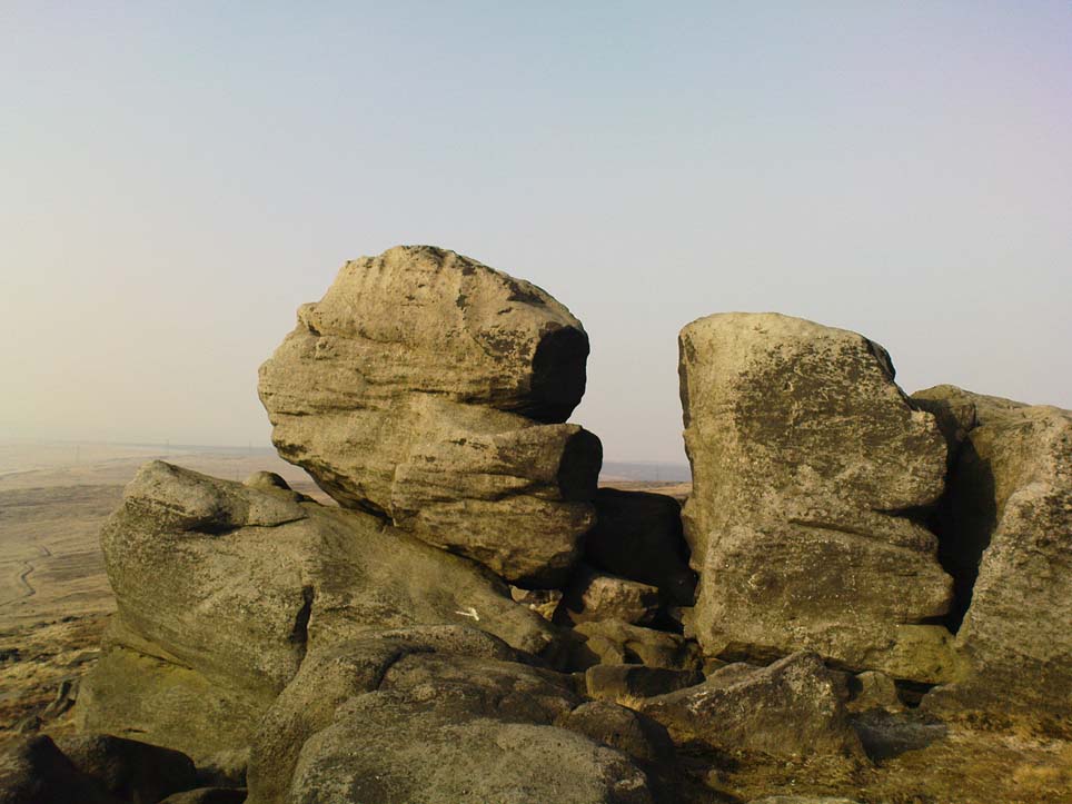
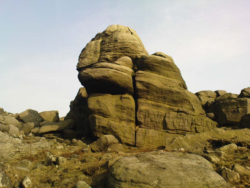
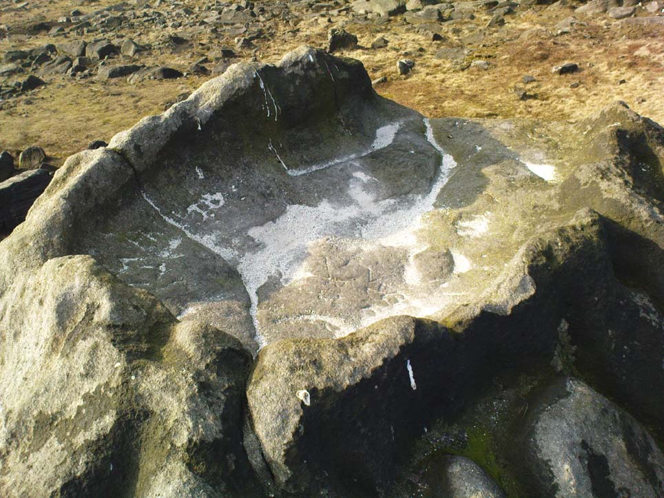
The rock that’s given its name to Robin Hood’s Bed overlooks the very edge of the ridge, detached from the main section, with a large and very curious nature-worn ‘bed’ on its very crown, more than 4 feet wide and about 7 feet long, into which one comfortably lays.  It was named in the boundary records of the township of Rishworth in 1836, where it describes other historical stones, saying:

“thence under Robin Hood’s Bed to a stone marked ‘W.S.G.S. 1742, 1770, 1792, and the following figures and letters, ‘1826 I.L.S.'”

Folklore

This enormous millstone grit boulder, sitting 1550 feet upon the high moors is, according to legend, a place where our famous legendary outlaw once slept.  Whilst sleeping here, some of his followers were said to have kept guard and looked over him.

Robin Hood’s Bed, from below

A rather odd piece of folklore recited by Jessica Lofthouse (1976) is that “no winds ever blow” at Robin Hood’s Bed, who then went on to tell of the time she visited the place.  Walking along the rocky ridge where the stone bed is found, the winds were such that “we had almost been blown over the edge,” until just a few hundred yards further when they eventually reached the fabled site, Nature granted them a sudden calmness unknown to all the high moorlands around, affirming the curious folklore.

The ceremonial stone ‘bed’

Robin Hood’s Bed itself was undeniably an important ceremonial site for both rites of passage and ritual magick to our indigenous ancestors.  The place screams of it!  It also seems very likely that the hero figure of Robin Hood replaced an earlier mythological character, akin to the fabled female creation deity, the cailleach, found commonly in more northern and Irish climes, whose echoes can still be found around our Pennine hills.  For we find that Robin Hood was said to have taken a large boulder from here and with a mighty heave threw it six miles across the landscape due west into the setting sun, where it eventually landed at Monstone Edge, near Rochdale!  Local people were so astounded at this feat that the stone was given the name of Robin Hood’s Quoit.

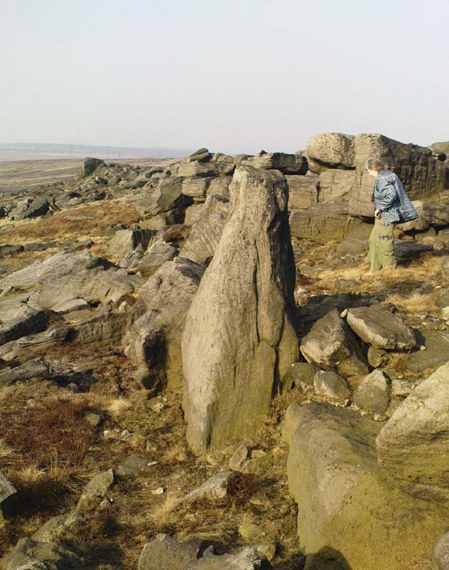
7ft tall natural standing stone

The old place-name authority Eilert Ekwall (1922) related the folklore that the giant ridge of Blackstone Edge “is said to refer to a boundary stone between Yorkshire and Lancashire.”  Which may be the curious upright standing stone, more than 7 feet tall, less than 50 yards NNE which gives a very distinct impression of having been deliberately stood upright, amidst this mass of loose geological droppings!  It would be helpful if there was a geologist in the house who could tell us decisively one way or the other…

Another etymological possibility that has been posited relates to the word ‘bed’ at this site.  Ordinarily it would be sensible to attach the word to the great stone ‘bed’ atop of the poised boulder.  But with the attached legends symptomatic of prehistoric monuments, it would not be improper to highlight that the old Welsh word ‘bedd‘ (a place-name element that is not uncommon in Lancashire) means, “a grave or tomb”.  And this site would be ideal for such an old prehistoric cairn…

References:

  1. Bennett, Paul, The Old Stones of Elmet, Capall Bann: Milverton 2001.
  2. Ekwall, E., The Place-Names of Lancashire, Manchester University Press 1922.
  3. Lofthouse, Jessica, North Country Folklore, Hale: London 1976.
  4. Smith, A.H., The Place-Names of the West Riding of Yorkshire – volume 3, Cambridge University Press 1961.

© Paul Bennett, The Northern Antiquarian


Aiggin Stone, Blackstone Edge, Lancashire

‘Standing Stone’:  OS Grid Reference – SD 97329 17069

Getting Here

From Littleborough, take the Ripponden and Halifax A58 road up-uphill till you get to the White House pub near the very top.  From here, cross the road and walk  along the track below the disused quarry for a coupla hundred yards till you meet with the straight uphill track.  Go up here and, near the very top, you’ll see the upright stone right beside the footpath on your left.

Archaeology & History

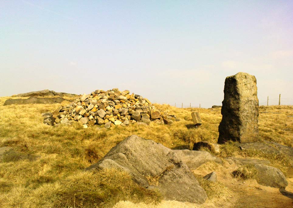
Aiggin Stone and cairn

This ancient boundary stone has long been an etymological oddity.  It aint a prehistoric stone by any means (soz…), though its nature has never truly been decided for sure.  Some have posited it as Roman in origin, others that it’s merely a waymarker (in case y’ get lost in the fog up here), others that it’s a milestone, and the more common notion is that it’s a boundary marker of the counties of Yorkshire and Lancashire (it’s position in the landscape presently sits it in Lancashire).  As far as I’m concerned, the stone’s late-medieval in nature…

Standing by the old Roman road a short distance from the very top of these high Pennine hills on the Yorkshire-Lancashire border, a faint old Latin cross, plus the letters “I.T.” are etched onto its sides.  In the 1930s the stone was found laid in the moorland heather, but was thankfully resurrected in 1933.  Since then however, it’s been knocked over a couple more times, but presently stands proudly upright — until the day comes when some other halfwits decide to knock it down again!  In its earlier days, James Maxim (1965) described the stone thus:

“It is an irregular block of gritstone 7 feet long, tapering from 2 feet 6 inches to 2 feet wide and it is about 10 inches thick.  On one bedding face and a few inches from the top is an incised cross with the ends of the arms slightly expanded.  This is 1 foot 4 inches long and 10 inches wide, the horizontal bar crossing the vertical at about 5 inches from its upper end.”

Looking northeast

First highlighted on an engineer’s map from 1800, Herbert Collins (1950) assumes Aiggin to be “a corruption of Agger”, being a Latin word meaning, “a pile, heap, mound, dike, mole, pier – in Roman antiquity, an earthwork or other artificial mound or rampart.”  Due to the monolith’s proximity to the supposed Roman road there is great likelihood in it being as such, plus “agger” can also mean a Roman road or military way.  Collins cites other possibilities: aggerere, “to bear to a place, to heap up,” or “that which is gathered to form an elevation above a surface” – which is certainly applicable here!  James Maxim (1965) thought,

“The name ‘Aiggin’ suggests a pronunciation resembling either ‘edge’ or ‘hedge’ and thus it might mean ‘Edge Stone’. Alternatively it could be derived from the French ‘aguille’, meaning a needle or sharp-pointing rock.”

The view from here is truly excellent — though if you walk to the rocky crags of Blackstone Edge a half-mile to the south (y’ can’t miss ’em from here) and sit by Robin Hood’s Bed, it gets even better!  A smaller, possible standing stone can be seen just 200 yards northwest of our Aiggin Stone; with the top of the stone seemingly knocked off in bygone years. Not far from here are the remains of some old hut circles, emerging from beneath the old landscape.

References:

  1. Collins, Herbert C., The Roof of Lancashire, J.M. Dent: London 1950.
  2. Maxim, James L., A Lancashire Lion, J.L. Maxim Trustees: Leeds 1965.

Links:

  1. Ray Spencer on the Aiggin Stone

© Paul Bennett, The Northern Antiquarian 


Great Bride Stones, Todmorden, West Yorkshire

Sacred Rocks:  OS Grid Reference – SD 93329 26737

Getting Here

Follow the same directions to find the Blackheath Circle, but instead of turning onto the golf course, keep going up the steep road until you reach the T-junction at the top; then turn left and go along the road for about 200 yards, past the second track on the left, keeping your eyes peeled across the small moorland to your left where you can see the rocks rising up.  Walk along the footpath towards them.  You can’t really miss the place!

Archaeology & History

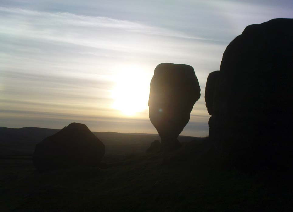
The Bride at sunset – the fallen Groom to her left

If you’re a heathen or geologist and you aint seen this place, check it out – you won’t be disappointed!  First mentioned in 1491, this has always been a place of some repute. Its legendary companion, the ‘Groom’, lays resting on the Earth after being felled sometime in the 17th century.

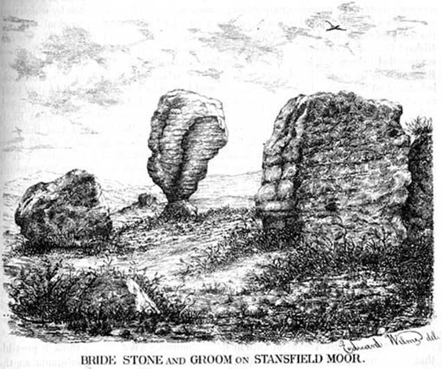
F.A. Leyland’s 1860s drawing

A beautiful, remarkable and powerful site of obvious veneration.  First described in local deeds as early as 1491, there are a great number of severely weathered boulders all round here, many like frozen rock giants haunting a magickal landscape.  The modern lore ascribes the stones to be dedicated to Bride, goddess of the Brigantian people.  And like Her legendary triple-aspect, we find here in the landscape a triple aspect to the outcrops themselves: to the west are the Bride Stones; to the east, the Little Bride Stones; with the Great Bride Stones as the central group, surveying everything around here.

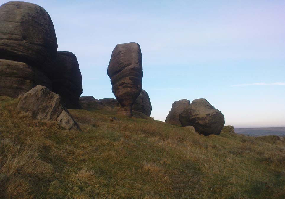
At the main complex is what is singularly known as the Bride itself: a great smooth upright pillar of stone fourteen feet tall and nine feet wide at the top, yet only about two feet wide near its base, seemingly defying natural law.  Watson (1775) described, next to the Bride herself, “stood another large stone, called the Groom…(which) has been thrown down by the country people” – probably under order of the Church.  Crossland (1902) told how the Bride also acquired the title, “T’ Bottle Neck,” because of the stone’s simulacrum of an upturned bottle.

The Bride & her Groom (laid on the earth)
The ‘head’ or top of the Bride Stone

Scattered across the tops of the many rocks hereby are many “druid basins” as Harland and Wilkinson (1882) described them.  Many of these are simply basins eroded over the millenia by the natural elements of wind and rain.  It is possible that some of these basins were carved out by human hands, but it’s nigh on impossible to say for sure those that were and those that were not.  If we could find a ring around at least one of them, it would help — but in all our searches all round here, we’ve yet to locate one complete cup-and-ring.  So we must remain sceptical.

On the mundane etymological side of things, the excellent tract by F.A. Leyland (c.1867) suggested the Bride Stones actually had nothing to do with any goddess or heathenism, but derived simply from,

“the Anglo-Saxon adjective Βñáð, signifying broad, large, vast — hence the name of the three groups known as the Bride Stones.  The name of The Groom, conferred on the prostrate remains, appears to have been suggested by the fanciful definition of the Saxon Brád, as given by (Watson).”

However, the modern place-name authority A.H. Smith (1963:3:174) says very simply that the name derives from “bryd, a bride.”

A “rude stone” was described in one tract as being a short distance below this great rock outcrop; it was turned into a cross by the local christian fanatics and moved a few hundred yards west, to a site that is now shown on modern OS-maps as the Mount Cross.

Folklore

Although local history records are silent over the ritual nature of these outcrops, tradition and folklore cited by the antiquarian Reverend John Watson (1775) tell them as a place of pagan worship.  People were said to have married here, although whether such lore evolved from a misrepresentation of the title, Bride, is unsure.  In the present day though there have been a number of people who have married here in recent years.

If the Brigantian goddess was venerated here, the date of the most active festivities would have been February 1-2, or Old Wives Feast day as it was known in the north.  The modern witches Janet and Stewart Farrar, who wrote extensively about this deity (1987), said of Bride: “one is really speaking of the primordial Celtic Great Mother Herself,” i.e., the Earth Mother.

Telling of further lore, Watson said that weddings performed here in ages past stuck to an age-old tradition:

“during the ceremony, the groom stood by one of these pillars, and the bride by the other, the priests having their stations by the adjoining stones, the largest perhaps being appropriated to the arch-druid.”

New Age author Monica Sjoo felt the place “to have a special and uncanny power.”  This almost understates the place: it is truly primal and possesses the virtues of strength, energy, birth and solace.

References:

  1. Bennett, Paul, The Old Stones of Elmet, Capall Bann: Milverton 2001.
  2. Crossland, Charles, “Place-Names in the Parish of Halifax in Relation to Surrounding Natural Features,” in Halifax Naturalist, volume 7, 1902.
  3. Farrar, Janet & Stewart, The Witches’ Goddess, Hale: London 1987.
  4. Harland, John & Wilkinson, T.T., Lancashire Folklore, John Heywood: Manchester 1882.
  5. Leyland, F.A., The History and Antiquities of the Parish of Halifax, by the Reverend John Watson, M.A., R.Leyland: Halifax n.d. (c.1867).
  6. Smith, A.H., The Place-Names of the West Riding of Yorkshire – volume 3, Cambridge University Press 1963.
  7. Watson, John, The History and Antiquities of the Parish of Halifax, T. Lowndes: London 1775.

© Paul Bennett, The Northern Antiquarian


Robin Hood’s Penny Stone, Midgley Moor, West Yorkshire

Legendary Rock:  OS Grid References – SE 01831 28436

Also Known as:

  1. Robin Hood’s Pennystone
  2. Robin Hood’s Rock

Getting Here

If you follow the directions to reach the Churn Milk Joan stone, then continue onto the moor following the same directions to find the Miller’s Grave, once you’ve reach this you’ll see a large rounded boulder a couple of hundred yards away on your left, to the northwest.  That’s Robin Hood’s Penny Stone!

Archaeology & History

Robin Hood’s Pennystone, Midgley Moor

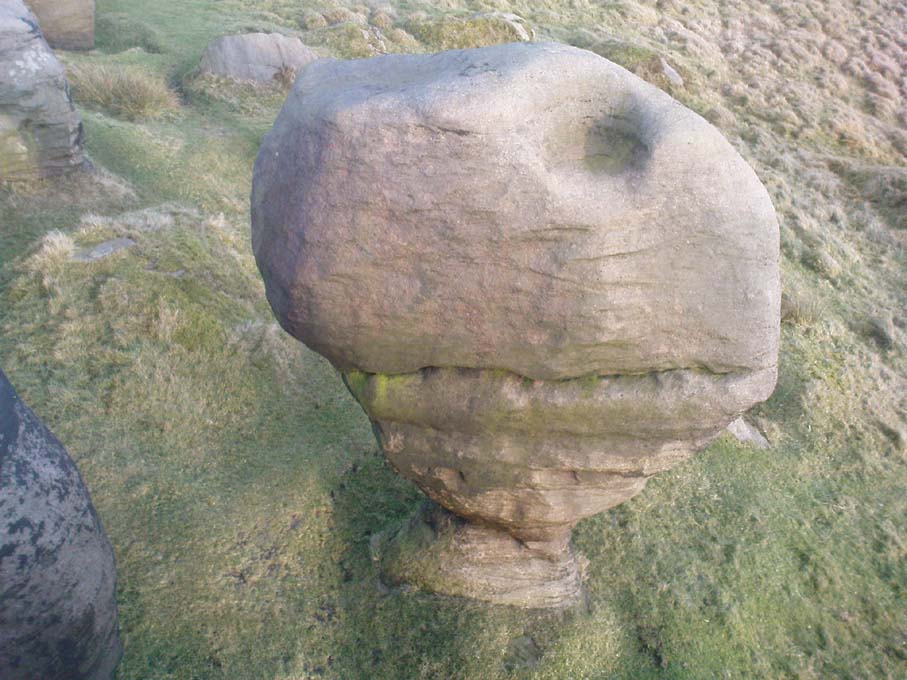
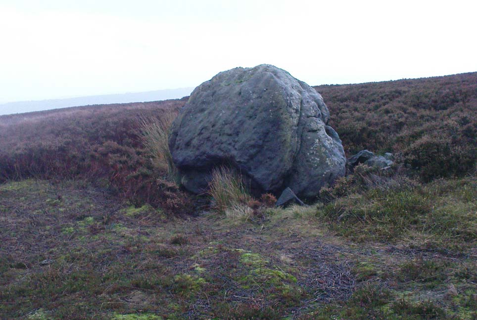
In terms of this site’s archaeology, it has none to write home about in official records (other than a few flints found nearby), but there’s more to this place than meets the eye.  A large rounded boulder sat upon the moorland plain with a large Nature-worn bowl on its top, the site is some 112 yards (102m) northwest of the little-known, but impressive Miller’s Grave prehistoric cairn (close to being a midsummer/midwinter line).  North and south of the rock are small lines of prehistoric walling — though their context is difficult to assess.  The Greenwood Stone and Greenwood B stone can be found about 200 yards west.

Folklore

A singular footpath once led up to this old boulder, atop of which – in its large ‘bowl’ – vinegar used to be poured. In this, coins were left by local people who suffered the plague and in return food was left for them.  And of course it is said that Robin Hood frequented the place in bygone times.

References:

  1. Bennett, Paul, The Old Stones of Elmet, Capall Bann: Milverton 2001.
  2. Robert, Andy, “Our Last Meeting,” in NEM 37, 1989.
  3. Robert, Andy, Ghosts and Legends of Yorkshire, Jarrold: Sheffield 1992.

© Paul Bennett, The Northern Antiquarian


Turley Holes Stones, Cragg Vale, West Yorkshire

Standing Stones: OS Grid Reference – SD 9954 2199

Also Known as:

  1. Turley Holes Moor Standing Stones

Getting Here

The 3 main stones (on a piss-wet thru afternoon!)

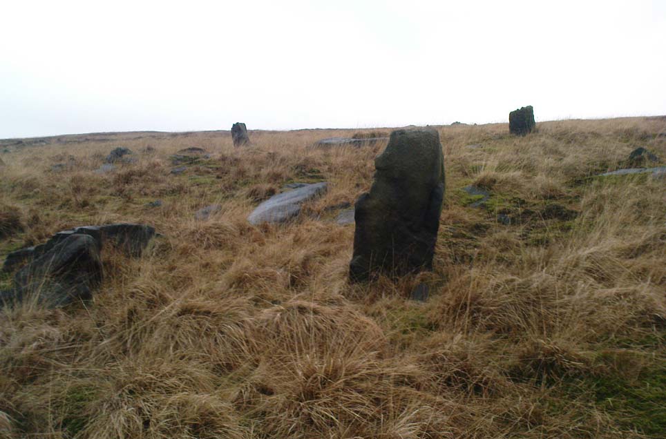
Get right to the top of the valley, past the end of the tree-line where the moor opens up ahead of you. Keep going till you reach the farmhouse on the left (there are usually sheepdogs outside, barking their heads off!). Take the track on the right, making sure y’ close the gate (the farmer here is infamous – so please shut the gate!). Cross the yummy stream at the bottom & double-back on y’self. If or when y’ reach the derelict house (an old shooting house), drop down the small valley, over the stream and stick to the bottom edge of the slope. (if y’ don’t reach the house, just cross the stream and keep to the contours) Keep walking for about 200 yards, keeping your eyes peeled for some uprights!

Archaeology & History

As with the Turvin Stone a half-mile southwest of here, this too is a very peculiar site.  ‘Peculiar’ inasmuch as no-one really seems to be able to make head or tails what the place actually was.  As you’re approaching the place, it looks like some decent ‘four-poster’ stone circle is ahead of you; but once you reach the place there are a veritable number of other earthfast rocks and tumbled stones all round, making your initial appraisal of the place suddenly grind to a halt! Added to this is the oddity of finding the standing stones on a considerable geological slope, unlike most other megalithic sites in the region (and elsewhere for that matter!).

The tallest standing stone

The tallest, easternmost of the three stones (SD 99547 21992) is more than five-feet tall and is lower down the slope than the other uprights here.  Almost ‘surrounded’ by some denuded stone enclave (a large robbed cairn perhaps?), this is the most visually impressive of the stones here.  Up the slope from here 15 yards (13.56m) away is what may, or may not, be a simple earthfast boulder (at SD 99535 21999): but it’s upright, about 3 feet tall, and due to proximity gives the impression that it was part of whatever monument this site once was.  Due west of the tallest standing stone nearly 20 yards (17.6m) away, is a more rounded stone of ‘female’ character, less than 4 feet tall (at SD 99528 21993).  That’s the general gist of the place.

If you visit here you’ll notice another smaller upright a short distance further down the slope in the green, less than three feet tall  And there’s possibly another one of similar stature more than  200 yards SSE.  But what is this place?  Is it prehistoric?  Was it built in the Dark Ages?  Medieval times?  Does anyone have a clue!?

References:

  1. Bennett, Paul, The Old Stones of Elmet, Capall Bann: Milverton 2001.
  2. Burl, Aubrey, Four Posters: Bronze Age Stone Circles of Western Europe, BAR 195: Oxford 1988.

© Paul Bennett, The Northern Antiquarian


Turvin Stone, Cragg Vale, West Yorkshire

Standing Stone:  OS Grid Reference – SD 98924 21378

Getting Here

Turvin Stone (lookin’ south)

From Mytholmroyd, take the Cragg Vale road (B6138) up and up and up, until you get past the tree-level and the hills open up on either side of you.  Take note of the farmhouse on the right-hand side of the road a half-mile on and park where you can.  Walk down the track by the farmhouse (known as Washfold Road) and cross the stream at the bottom.  OK – from here walk straight up the hill in front of you! (not along the footpath)  In less than 100 yards it levels out and you’re onto the moorland proper.  From here walk straight west for about 400 yards.  If you deviate a little, don’t worry.  You’ll see this small upright stone as you’re getting closer, seemingly in line with several other rocks, almost giving the impression you’ve come across a stone row.  Good luck!

Archaeology & History

The slim upright

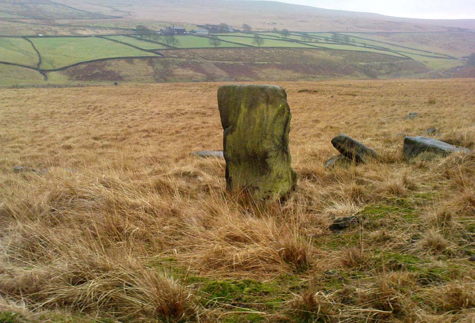
This small squat standing stone is just over three feet tall (1m), about 10 inches thick and 3½-feet across.  Leaning at an angle into the ground, this broad but thin monolith has sunk some distance into the moorland peat.

It was located on February 15, 2011, in the company of Dave Hazell (pacemaker in tow!) on our first sojourn of the year.  It hasn’t been mentioned in any previous surveys and aint in anyway what you’d call impressive.  Nearby are the early remains of old walling north, east and west of here (one of them being a small enclosure of some type), for which I can again find no other references.  What looks distinctly like the remains of a large cairn isn’t far away either.  However, it may be that some of the remains up here are medieval in nature and it would be of benefit if someone who specializes in remains from that period could have a look here.  The equally curious Turley Holes standing stones can be seen a half-mile northeast of here.

© Paul Bennett, The Northern Antiquarian


Two Lads, Withens Moor, West Yorkshire

Cairns: OS Grid Reference – SD 98394 22116

Getting Here

Best way here is, from Mytholmroyd go up the Cragg Vale road for a coupla miles, then turn right and heading down, then up, towards Withens Clough reservoir.  Once there, walk onto the moor to your left (south) until you’re on the ridge above you.  Keep walking until y’ see the rocky cairn-like creatures stood in isolation on a flat moorland plain.

Archaeology & History

Two Lads – on a dark, rainy, windy day

Truly weird spot this one, but I love it! Seemingly miles from anywhere, it’s one helluva walk to most folk, but utterly worthwhile when your arrive.   On a clear day you can see for miles and the landscape is adorable!  On a cloudy rainy day, the feel of the place changes if you take care to stay with the site, saturated, meditating (as no other people ever turn up when She’s like that – so you and the place get the best from each other!).

The site comprises of two boulders, each crowned with a cairn of stones.  The westernmost one of the two (SD 98392 22111) is intriguing as it has, carved upon the rock beneath the stone cairn on the northwestern edge of the stone, what looks like a singular cup-marking, plus a large water-worn bowl on its northern edge, and a very distinct deeply-cut cross-base, several inches deep, near the northeastern corner of the rock.  This cross-base seems slightly more rectangular in form than square; although the large covering of stones makes an accurate ascription difficult.  If this cross-base and cup-markings are authentic, we would have here a clear example of the christianization of a previously heathen site.

A cursory examination of the easternmost of the Two Lads (SD 98397 22117) doesn’t indicate any artificial workings on the rock surface.

Two Lads on 1853 OS-map

Although the two ‘cairns’ on top of these two rocks are not prehistoric in nature, about 20 yards behind the Two Lads (south) may once have been the severely denuded remains of a once large prehistoric cairn.  Although the position in the landscape is perfect for such a construction, this is somewhat tentative, it’s gotta be said!  Further examinations are obviously necessary here.

The studious A.H. Smith (1961-63) believes that a field-name record from 1624, describing some ‘Lad Stones’ in the parish of Heptonstall relates to this site.  We know with certainty however, that this site was first illustrated on Greenwood’s 1771 map of Yorkshire, then highlighted on more recent 19th century Ordnance Survey maps as ‘cairns.’

Folklore

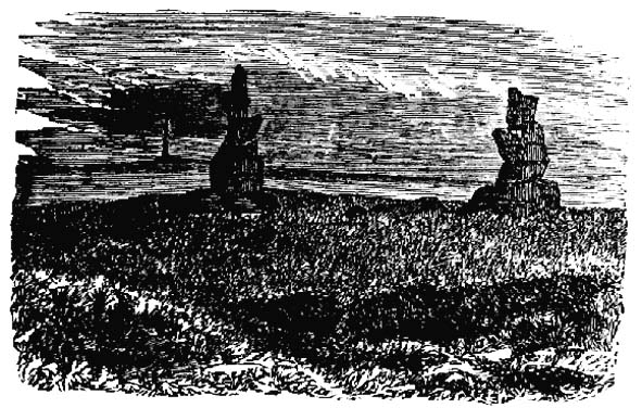
Drawing of the Lads in 1877

The creation myth behind this place is that two lads were walking over the moor in midwinter and got caught in a blizzard. Losing all sense of visibility they tried to shelter from the wind and snow by hiding behind these rocks, but perished. Sometime later their bodies were found and the curious “cairn” of rocks were mounted onto the boulders to mark where they’d died.  This is a folktale we find at many other old stone remains on the hilltops of northern England and Scotland.

The Two Lads seems to be very close to a midwinter alignment (or izzit a lunar standstill line?), linking it with the huge Rudstoop Standing Stone and, eventually, Robin Hood’s Penny Stone on Midgley Moor – which might be the root of the folktale. (i.e. midwinter, snow, death)  Any archaeoastronomy buffs out there wanna check this one out?  Then we can confirm or dismiss it.

References:

  1. Anonymous, “The ‘Two Lads’, Withens Moor,” in Todmorden & Hebden Bridge Historical Almanack, T. Dawson: Todmorden 1877.
  2. Bennett, Paul, The Old Stones of Elmet, Capall Bann: Milverton 2001.
  3. Smith, A.H., The Place-Names of the West Riding of Yorkshire, Cambridge University Press 1961-63.

© Paul Bennett, The Northern Antiquarian 


Rocking Stone, Meltham Moor, West Yorkshire

Legendary Rock (destroyed):  OS Grid Reference – SE 0728 0944

Archaeology & History

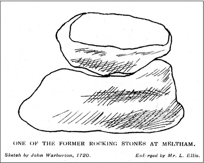
The Rocking Stone in 1720

Here we have the case of yet another rocking stone destroyed by a bunch of morons in bygone days.  Although marked on the first Ordnance Survey of the region around 1850, the site had already been destroyed by then — but at least the surveyors had recorded its position in the landscape. And a dramatic and barren landscape it sat within!

It could be found high up in the middle of the moors above Brow Grains by the Wicken Stones, nearly 1400 feet above sea level, heading towards West Nab, and had lived here, safely, for untold thousands of years.  But then, on Whitsun Monday morning in either 1827 or 1828, there came, wrote Joseph Hughes (1866),

“some half-dozen masons (who) planned and executed the work of destruction for a frolic.  They first endeavoured to accomplish it by blasting it with gunpowder and, on the failure of this scheme, they fetched tools from Deer Hill, with which they drilled a hole and then wedged it, when the stone fell with a tremendous crash, hardly allowing the man on its summit who was drawing in the wedge to escape without injury.”

It’s a huge pity that the boulder didn’t crush him to death for his actions.  At least it would have taught the halfwits a lesson (forgive me if I sound a bit harsh – but I have an increasingly lower opinion of selfish humans the older I get).  Thankfully though, one hundred years before the stone was destroyed, Mr John Warburton of the Somerset Herald visited the region in 1720 and on one of the days here, took a long walk up to the Rocking Stone, from where we have this rare old drawing of the site.  As Mr Ahier (1942) told us,

“His sketch plainly shows one stone superimposed upon another, and it is conceivable that the uppermost stone could be rocked on the lower one.”

There was also another Rocking Stone in the locale, it too destroyed, this time “by a former gamekeeper” no less, using the time-honoured excuse:

“because persons going to see it crossed the moor, and, in doing so during the nesting season, were liable to tread on eggs or upon young birds.”

This excuse is an even poorer one these days (as any honest ranger will tell you – which includes me in my former capacity as an assistant moorland ranger), as walking the moors causes much less damage than the moorland “management” of draining the bogs, dyke cutting, grouse-shooting, bracken control, letting the Snoots drive their vehicles over the heathlands, upgrading modern footpaths, etc.  (God – I’m on a rant!)

References:

  1. Ahier, Philip, The Legends and Traditions of Huddersfield and District, Advertiser Press: Huddersfield 1942.
  2. Hughes, Joesph, The History of the Township of Meltham, John Russell Smith: London 1866.

© Paul Bennett, The Northern Antiquarian


Rocking Stone, Golcar, West Yorkshire

Legendary Rock (destroyed):  OS Grid Reference – SE 076 163

Also Known as:

  1. Holed Stone
  2. Holy Stone
  3. Whole Stone

Archaeology & History

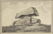
Golcar rocking stone in 1799

Like many old rocking stones, this was destroyed due to quarrying operations many years ago and sadly, I believe, we have no illustrations of the place to show the site.  This legendary site—also known as the ‘Holed’ or ‘Holy Stone’—is preserved in the place-name of Rocking Stone Hill and, unlike many other alleged rocking stones, actually swayed to and fro if the old records are owt to go by.  Not far away (and also destroyed some 200 years back) were two stone circles which probably had some mythic relationship to this legendary rock.

The stone was first described by John Watson in his monumental History of Halifax (1775), where he told that is was,

“so situated as to be a boundary mark, dividing the two townships of Golcar and Slaightwait in the Parish of Huddersfield, adjoining to the Parish of Halifax on Wholestone Moor.  The stone as measured by the late Thomas Perceval, or Royton…is 10½ feet long, 9ft 4in or 5in broad, and 5ft 3in thick.  Its weight…is 18 tons, 190lbs.  It rests on so small a centre, that at one particular point, a man may cause it to rock; though some years ago it was damaged a little, in this respect, by some masons, who endeavoured, but in vain, to throw it off its centre, in order to discover the principle on which so large a weight was made to move.”

Mr John Crabtree (1836) included it in his survey, and it was illustrated on the very first Ordnance Survey map in the 1840s where it was described as ‘Supposed Druidical’.  But the old stone sadly didn’t last much longer.  Once the self-righteous Industrialists got here, round about the year 1886, the Rocking Stone was destroyed by quarrying operations.  All that remains of the place today is a small cluster of place-names..

Folklore

Thought by Watson (1775) and his contemporaries to have had druidic associations (without evidence), when Philip Ahier (1942) came exploring this area in 1936, he came upon “an old resident (who) informed me that he had sat upon the stone when a youth and had caused it to rock.”

References:

  1. Ahier, Philip, The Legends and Traditions of Huddersfield and District, Advertiser Press: Huddersfield 1942.
  2. Bennett, Paul, The Old Stones of Elmet, Capall Bann: Milverton 2001.
  3. Crabtree, John, Concise History of the Parish & Vicarage of Halifax, Hartley & Walker: Halifax 1836.
  4. Watson, John, The History and Antiquities of the Parish of Halifax, T. Lowndes: London 1775.

© Paul Bennett, The Northern Antiquarian