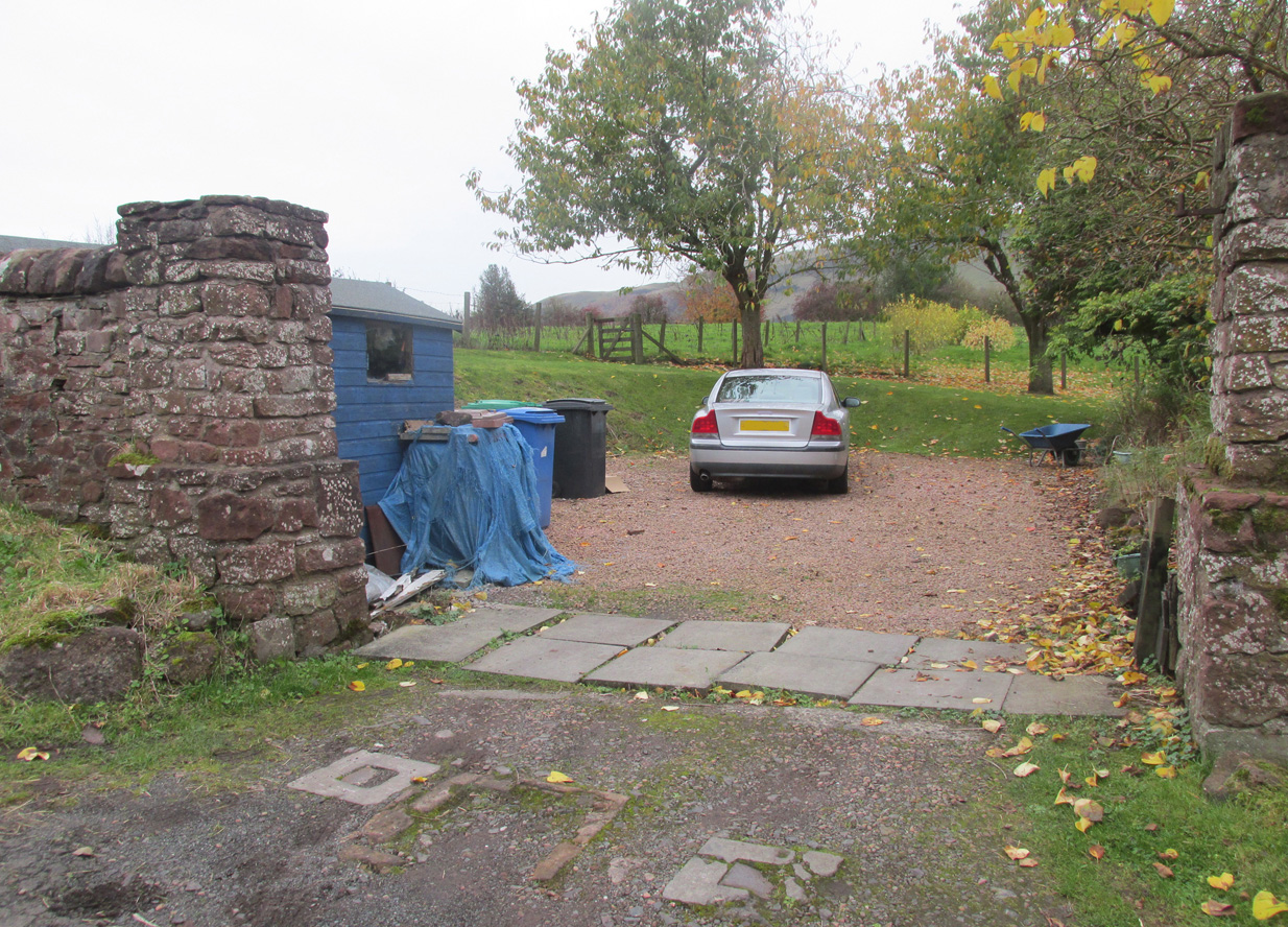
Lady’s Well, Kincardine, Ross & Cromarty

Holy Well (lost):  OS Grid Reference – NH 6072 8954

Archaeology & History

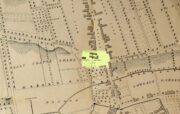
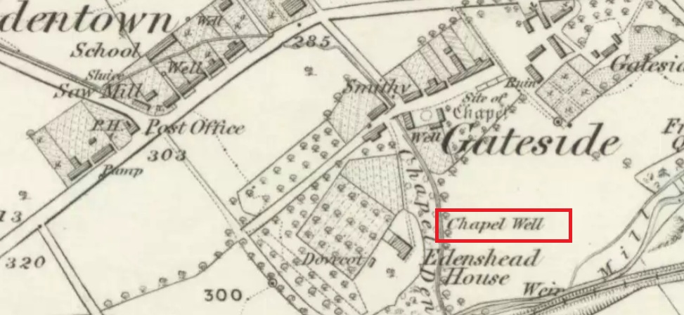
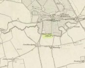
Site shown on 1879 map

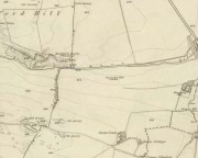
First highlighted on the 1879 Ordnance Survey map, information on this site is sparse, save for those reliable Statistical Accounts and Name Books, which simply give us its location.  The only context that our Old Statistical lads gave us was its relationship and proximity to a castle, “the most ancient residence” of the Clan Ross Highland Chiefs which could “be seen in a beautiful field between the church and the sea side.”  At the end of this field is “a steep bank, hanging over the sea at high water called the ‘Bank of the Gate’, and at the bottom there is a spring of excellent water, called the Lady’s Well.”

The water’s dedication to Our Lady was obviously grafted onto it by those in the church above, glossing over, no doubt, earlier dedications by local people, whose practices seem to have been lost.  The site was included in the regional Name Book of the Ordnance Survey doods who, it seems, merely copied the notes about the place from the old Statistical Account.  In what seems to have been their last visit, no trace of the well was evident.  They concluded it “was under water at time of visit.”

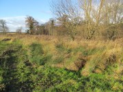
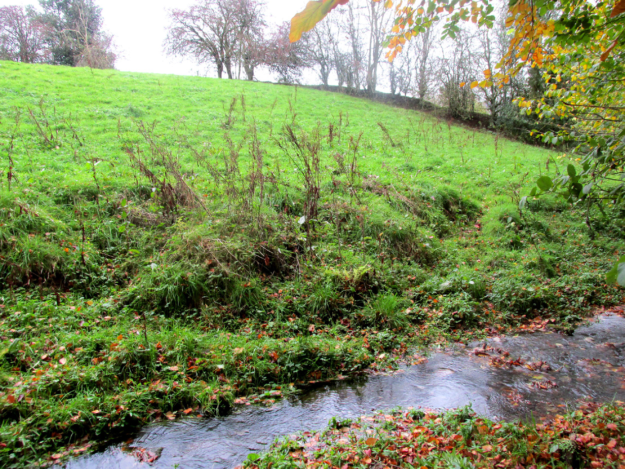
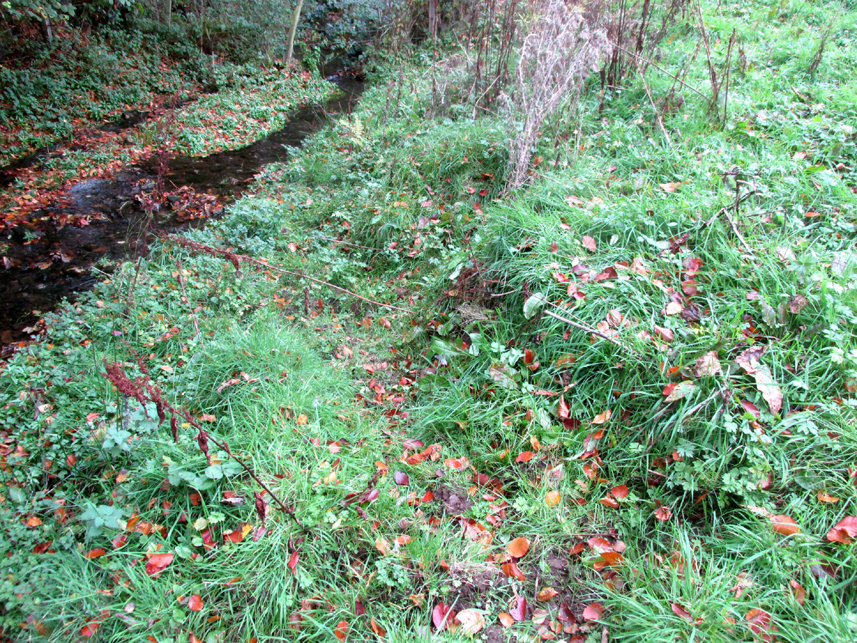
It would be good to hear from local folk if this sacred site can still be found at the tree-line just above the sea, or whether Nature has taken it away from Her animals.

References:

  1. Gallie, Andrew, “Parish of Kincardine,” in Statistical Account of Scotland – volume 3 (edited by John Sinclair), William Creech: Edinburgh 1792.

Acknowledgements:  Big thanks for use of the early edition OS-map in this site profile, Reproduced with the kind permission of the National Library of Scotland

© Paul BennettThe Northern Antiquarian

Lady Well, Dundee, Angus

Holy Well (destroyed):  OS Grid Reference – NO 4026 3072

Also Known as:

  1. Ladies Well
  2. Our Lady’s Well

Archaeology & History

Lady Well on 1776 map

One of at least five sacred wells that could once be visited in Dundee: like its compatriots they have all fallen under the hammer of the Industrialists and flow no more.  Our Lady’s Well could once be seen near the ancient Chapel of our Lady, “flowing from under the Chapelshade Braes,” said Maxwell (1884), its waters “bright and sparkling,” but today it has been drained and laid to rest beneath the road.  Its memory however, has been preserved in the modern place-names of the Ladywell Roundabout and the nearby Ladywell Avenue.

The well was mentioned as far back as 1409 when, as Alex Lamb (1895) found, it was referred to in a contract between the Constable of Dundee and the burgesses.  It flowed freely until the beginning of the 18th century when, as Maxwell told us, “the water from the Lady well was impounded and conveyed in pipes for supplying other cisterns throughout the town.”  Nicoll (1923) thought there may have been a well-house built around it.  Previously, the water from here was one of many springs and burns that fed the larger Castle Burn down to the sea.

The generally approved idea that Lady Wells derive from St Mary was questioned in this instance in Colville’s (1822) survey, who thought, not unreasonably, that

“As a convent stood near the same place, it is more probable that it took the name of the Ladies-well, from the fair sisterhood, who must have been the guardians of it and of all the places near them.”

He may be right.  Colville also brought attention to a second water supply close by that seemed to be of equal importance in a pragmatic sense as the Lady Well herself.  In danger of being destroyed, the author brought attention to it and insisted on securing its survival.  He wrote:

“A little to the west, and adjoining to the Lady-well, is a large garden lying on a gentle declivity, called the Lady-well Yard,— in which there is a most abundant spring of excellent water, that was never known to fail in the driest summer, even when the Lady-well was so drained as not to afford supply to the inhabitants.  Should this be employed for a steam-engine in the present prosperous state of manufactures, a pit for the water would require to be sunk, which might materially injure the Lady- well.  It would certainly, therefore, be of advantage to the town, if the Magistrates could procure this property,— which would prevent the Lady- well being endangered; and the addition of this copious spring would at all seasons afford a plentiful supply of excellent water to the town.”

References:

  1. Colville, A., Dundee Delineated, A. Colville: Dundee 1822.
  2. Lamb, Alexander C., Dundee: Its Quaint and Historic Buildings, G. Petrie: Dundee 1895.
  3. Maxwell, Alexander, The History of Old Dundee, David Douglas: Edinburgh 1884.
  4. Nicoll, Alexander, The First History of Dundee, D. Winter: Dundee 1923.

© Paul BennettThe Northern Antiquarian

St. Mary’s Well, Dundee, Angus

Holy Well (lost):  OS Grid Reference – NO 401 301 (approximation)

Archaeology & History

Cited just once in the “Register of the Great Seal” (Registrum Magni Sigilli) in the year 1512 CE, this Fontis Beate Marie, or Well of St. Mary has long since disappeared.  Its exact location in the city has been forgotten, but it seems likely to have been close to St. Mary’s Church.  Further research is needed.

Links:

  1. Saints in Scottish Place-Names

© Paul BennettThe Northern Antiquarian

Lady Well, Airth, Stirlingshire

Holy Well (destroyed):  OS Grid Reference – NS 89801 86524

Also Known as:

  1. Canmore ID 46862
  2. Lady’s Well
  3. Spaw Well

Archaeology & History

Site of the Lady Well, Airth

Once to be seen flowing on the south-side of the Pow Burn below Airth Castle, all traces of this once sacred site has fallen prey to the usual advance of the so-called ‘civilized’.  In literary terms, the site was first described in church records from 1657—as Ladieswell—and the accounts we have of the place from then are most revealing in describing the traditional use of the place by local people.  It was a sacred site, obviously, chastised by the madness of the christian regime of the period, in their attempt to destroy indigenous customs and societal norms.  William Hone (1837) gave an extended account of what some people were up to here in his Everyday Book:

“In 1657, a mob of parishioners were summoned to the session, for believing in the powers of the well of Airth, a village about six miles north of Falkirk, on the banks of the Forth, and the whole were sentenced to be publicly rebuked for the sin. –

“”Feb. 3, 1757, Session convenit. Compeared Bessie Thomson, who declairit scho went to the well at Airth, and that schoe left money thairat, and after the can was fillat with water, they keepit it from touching the ground till they cam horm.”

“”Ffebruary 24. — Compeired Robert Fuird who declared he went to the well of Airth, and spoke nothing als he went, and that Margrat Walker went with him, and schoe said ye beleif about the well, and left money and ane napkin at the well, and all was done at her injunction.”

“”Compeared Bessie Thomson declarit schoe fetch it horn water from the said well and luit it not touch the ground in homcoming, spoke not as sha went, said the beleif at it, left money and ane nap-kin thair; and all was done at Margrat Walker’s command.”

“”Compeired Margrat Walker who denyit yat scho was at yat well befoir and yat scho gave any directions ”

“”March 10. Compeared Margrat Forsyth being demand it if scho went to the well of Airth, to fetch water thairfrom, spok not by ye waye, luit it not touch ye ground in homcoming? if scho said ye belief? left money and ane napkin at it? Answered affirmatively in every poynt, and yat Nans Brugh directit yem, and yat they had bread at ye well, with them, and yat Nans Burg said shoe wald not be affrayit to goe to yat well at midnight hir alon.”

“”Compeired Nans Burg, denyit yat ever scho had bein at yat well befoir.”

“”Compeired Robert Squir confest he went to yat well at Airth, fetchit hom water untouching ye ground, left money and said ye beleif at it.”

“”March 17. Compeired Robert Cochran, declairit, he went to the well at Airth and ane other well, bot did neither say ye beleif, nor leave money.”

“”Compeired Grissal Hutchin, declairit scho commandit the lasses yat went to yat well, say ye beleif, but dischargit hir dochter.”

“”March 21. Compeired Robert Ffuird who declairit yat Margrat Walker went to ye well of Airth to fetch water to Robert Cowie, and when schoe com thair, scho laid down money in Gods name, and ane napkin in Robert Cowie’s name.”

“”Compeired Jonet Robison who declairit yat when scho was seik, Jean Mathieson com to hir and told hir, that the water of the well of Airth was guid for seik people, and yat the said Jean hir guid sister desyrit hir fetch sum of it to hir guid man as he was seik, bot sho durst never tell him.”

“”These people were all 44 publicly admonishit for superstitious carriage.””

The practices continued.  In 1723, a Mr Johnstoun of Kirkland, writing about the parish of Airth, also told of the reputation of the well, saying,

“Upon the south side of the Pow of Airth, upon its very edge, is a spaw well famous in old times for severall cures, and at this day severalls gets good by it, either by drinking or bathing. Its commonly called by the name of Ladies well. Its about two pair of butts below Abbytown bridge.”

The fact that he told us it was “good for bathing” suggests a pool was adjacent, or at least the tiny tributary between it and the Pow Burn gave room for bathing and had a curative reputation. (there are many pools in the Scottish mountains with this repute – some are still used to this day!)

It was then described by Robert Ure in the first Statistical Account of 1792, where he told how the people were still using the waters, despite the crazy early attempts to stop them.  “There is a Well, near Abbeytown Bridge,” he told,

“called Lady-Well, which is thought to be medicinal.  Numbers have used it, and still use it as such.  It is supposed to have obtained that name, from the holy water, in the time of Popery, being taken from it, to supply the abbacy, or Catholic Church, then at Airth.”
Lady Well on 1865 map

But we know that its origins as a celebrated well pre-date any christian overlay.  People were reported visiting the site from as far away as Edinburgh, such was its repute!

Much later when the Ordnance Survey lads came here, showing it on their first map of Airth, they made their own notes of the place, saying briefly,

“A small well close to the Pow Burn – it is supposed to have derived its name from the Custom of dedicating wells to the Virgin Mary – so Common prior to the Reformation. It is not a mineral well.”

Ugly plastic pipe is all that remains

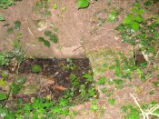
But its demise was coming.  In the wake of the christian Industrialists and their myth, subsuming the necessary integral sacrality of the Earth, the waters of the well were eventually covered.  When the Royal Commission (1963) lads gave the site their attention in October 1954, they reported that “no structural remains” of any form could be seen here, and in recent years all trace of the well has vanished completely.  When we visited the site a few months ago, perhaps the very last remnant of it was a small plastic pipe sticking out of the muddy bankside, dripping dirty water into the equally dirty Pow Burn.

It would be good if local people could at least put a plaque hereby to remind people of the history and heritage that was once so integral to the way they lived their lives.

References:

  1. Bennett, Paul, Ancient and Holy Wells of Stirling, TNA 2018.
  2. Fraser, Alexander, Northern Folk-lore on Wells and Water, Advertiser Office: Invermess 1878.
  3. Frost, Thomas, “Saints and Holy Wells,” in Bygone Church Life in Scotland (W. Andrews: Hull 1899).
  4. Hone, William, The Every-day Book – volume 2, Thomas Tegg: London 1837.
  5. MacFarlane, Walter, Geographical Collections Relating to Scotland – volume 1, Edinburgh Universoty Press 1906.
  6. MacKinlay, James M., Folklore of Scottish Lochs and Springs, William Hodge: Glasgow 1893.
  7. Morris, Ruth & Frank, Scottish Healing Wells, Alethea: Sandy 1982.
  8. Murray, G.L., Records of Falkirk Parish – volume 1, Duncan & Murray, Falkirk 1887.
  9. Reid, John, The Place-Names of Falkirk and East Stirlingshire, Falkirk Local History Society 2009.
  10. Royal Commission on the Ancient & Historical Monuments Scotland, Stirling – volume 2, HMSO: Edinburgh 1963.

© Paul BennettThe Northern Antiquarian


Our Lady’s Well, Liberton, Edinburgh, Midlothian

Holy Well:  OS Grid Reference – NT 2640 7008

Also Known as:

  1. Canmore ID 52100
  2. Lady’s Well

Archaeology & History

In Thomas Whyte’s (1792) lengthy survey of Liberton village, as it was in the 1790s, we come across what seems to be the earliest description of this long-lost sacrede site on the northwest side of the parish.  In writing of the beauty of the countryside hereby in those times, he told how,

“on the north by the rivulet called Braid’s-burn, near which there is a well which has the appellation…of the Lady’s or Virgin Mary’s well, famous for its large current, and the salubrity and lightness of its waters.”

Site of Our Lady’s Well

Our Ladys Well on 1855 map

Mr Whyte believed that its dedication to Our Lady went way back, probably before Liberton parish was given to St. Cuthbert in the 11th or 12th century (whose own holy well could once be found several miles north, near Leith).  Generally, wells that are dedicated to ‘Our Lady’, refer to the Virgin Mary; but prior to any christian affectation, the animistic genius loci of the waters would have been a local spirit.

It was visited and described by the Ordnance Survey lads in the Name Book of 1851, in which they said that Our Lady’s Well was,

“The site of a celebrated well situated in a hollow on the farm of Liberton Tower Mains, and dedicated to St. Mary, as it and the field is well known to be called to this day, “The lady’s Field” & Well”.  This well however about 50 years ago underwent a drainage during some improvements that were making on the land.  In its covered condition it takes a S.E. course till its Confluence with the Braid Burn where it is shown to this day as the water coming from the Lady’s Well, and from which a body of crystalized water flows copiously. It was supposed that a chapel was somewhere Convenient which gave rise to the name, but all traces have long since disappeared….”

“There is no tradition recorded among the County people as to whether this was a holy well, or resorted to for superstitious purposes. But it is well ascertained to have been once a remarkable well & an object well known and though now covered-in, the place is still well known, as is also the name.”

Although this holy well was shown on early and late 19th century OS-maps as ‘covered’,  trying to find its exact position today has proven difficult.  When Paul Hornby and I visited the site after some heavy rains in June, 2017, we found a large pool of water in the field exactly as shown on the old map.  This was, however, misleading, as the owner of the land and the Blackford Glen Western Riding school—a Mr John Fyfe—told us that they had, for years, always wondered about its exact position, but been unable to ascertain it with any certainty.  The pool in the field always appeared after the rains, he said.  He did tell us however, that many years ago when he was digging in order that the Braid Burn stopped flooding his property, he came upon a length of ancient piping running in the direction of the burn, some 5 or 6 feet down, whose use he could not ascertain—but which might have once conducted the waters from the Lady Well away.  No water was running through it though.

Near the middle of Liberton village a century or so ago, another holy well of the same name could once be seen less than a mile to the east.

References:

  1. Bennett, Paul, Ancient and Holy Wells of Edinburgh, TNA 2017.
  2. Good, George, Liberton in Ancient and Modern Times, Andrew Elliot: Edinburgh 1893.
  3. Walker, J. Russel, “‘Holy Wells’ in Scotland,” in Proceedings of the Society of Antiquaries of Scotland, vol.17 (New Series, volume 5), 1883.
  4. Whyte, Thomas, “An Account of the Parish of Liberton in Mid-Lothian, or County of Edinburgh,” in Archaeologia Scotica, volume 1, 1792.

Acknowledegments:  Huge thanks to John Fyfe and his wife for their help when we were exploring this site.

© Paul BennettThe Northern Antiquarian


Lady Well, Glasgow, Lanarkshire

Holy Well:  OS Grid Reference – NS 60376 65323

Also Known as:

  1. Canmore ID 45037

Getting Here

Lady Well on 1865 OS-map

Lady Well on 1865 OS-map

Get yourself to Glasgow Cathedral—wherein you’ll find St. Mungo’s Well—and walk down John Know Street.  A coupla hundred yards down, across the road is a small street called Ladywell Lane (there’s no signpost for it though), running below the cemetery and leading to the back entrance of the giant Tennent’s Brewery.  At the bottom of this, up against the wall on your left, is the Lady Well.

Archaeology & History

The origins and early traditional history of this once famous sacred well are sadly lost due to the intrusion of industrialism.  It was obviously a place of some considerable repute and lent its name to local quarries and fields hereby.  Used extensively by local people for countless centuries, things were to change in 1715 when the waters of this and other wells were to be kept clean by one John Black, “at a salary of 400 merks yearly.”  The Glasgow historian Eyre-Todd (1934) told that,

“Black was to furnish them with chains, buckets, sheaves, ladles, and other necessary graith, aswell as with locks and iron bands.  He was ‘to cleanse, muck and keep them clean,’ and to lock and open them in due time, evening and morning.  In case of failure he was liable to a penalty of £100 Scots.”

Lady Well in 2015

Lady Well in 2015

Lady Well in 1883

Lady Well in 1883

That’s a helluva lot of money in those days!  Even when M’Ure (1736) described it, only in passing, he had nothing to say about its curative properties or local rites.  Once the Industrialists take control, the ways of local people are sanitized, sterilized and ‘progress’ outlaws tradition.  The only reference to an earlier sacrality is in Mr Russel’s (1883) article, where he said simply, that the Lady Well was “so called after a fountain at the bottom of the Craigs…sacred in Popish times to the Virgin.”

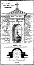
The construction that we see today—of the well in its little enclave—was first built in 1835-6.  The waters became polluted after they were redirected below the Necropolis and have not been used since (although they still flow out of the wall a couple of yards to the right, stinking!).  The architectural feature was cleaned up and restored by the local brewery in 1983.

The site may have gained its name from one Lady Lochow, who lived nearby and built a hospital at the old Gorbels in the 14th century—but we might never know the real truth about the origin of its dedication.  However, an intriguing ingredient relating to the dedication of the Lady Well is the incidence of a St. Anne’s Street that used to exist immediately to the east, as seen on the 1865 OS-map above.  St. Anne may well be the mythic character behind the naming of this Lady Well, although I can find no literature to prove this.  In the christian mythos, St. Anne was a very important character indeed: the mother of the Virgin Mary no less!  However, as hagiographers from Attwater (1965), to Baring-Gould (1898) and Butler (1866) all tell, her biography is piecemeal—which is most surprising considering she was JC’s granny!  Anne’s festival date was July 26 (a couple of days after Sirius enters the northern hemisphere); she was the patron saint of midwives, grandmothers and also miners, who invoked her as the deity who produced gold and silverakin to the Earth Mother Herself!  It’s obvious that Anne’s original mythic nature was subdued, as she represented an archaic root of matriarchal triplicity of the Virgin, the Lady and Old Woman and not the patriarchal triplicity of the incoming christian cult.  The christian mythos at this Lady Well (as elsewhere) replaced one facet of the indigenous prima mater in Glasgow, known as the Cailleach—as shown in her attributes of midwife, grandmother and the deep Earth.  If local historians can find field-names or wells dedicated to the Maiden, the Lady and the Carlin (or their variant titles) nearby, the lost layers of archaic Glasgow’s indigenous animistic folk memories could be mapped out once again…

References:

  1. Attwater, Donald, The Penguin Dictionary of Saints, Penguin: Harmondsworth 1965.
  2. Baring-Gould, S., The Lives of the Saints – volume 8, J.C. Nimmo: London 1898.
  3. Bennett, Paul, Ancient and Holy Wells of Glasgow, TNA 2017.
  4. Brotchie, T.C.F., “Holy Wells in and Around Glasgow,” in Old Glasgow Club Transactions, volume 4, 1920.
  5. Butler, Alba, The Lives of the Fathers, Martyrs and other Principal Saints – volume 7, James Duffy: Dublin 1866.
  6. Eyre-Todd, George, History of Glasgow – volume 3, Jackson: Glasgow 1934.
  7. Greene, E.A., Saints and their Symbols, Sampson Low: London 1897.
  8. MacIntosh, Hugh, The Origin and History of Glasgow Streets, James Hedderwick: Glasgow 1902.
  9. M’Ure, John, History of Glasgow, D. MacVean: Glasgow 1736.
  10. Walker, J. Russel, “‘Holy Wells’ in Scotland,” in Proceedings of the Society of Antiquaries of Scotland, vol.17 (New Series, volume 5), 1883.

© Paul BennettThe Northern Antiquarian


St. Mary’s Well, Wallingwells, Nottinghamshire

Holy Well:  OS Grid Reference – SK 572 840

Archaeology & History

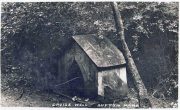
Old photo of St Mary's Well

Old photo of St Mary’s Well

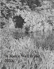
First mentioned in Pipe Rolls and referred to by the founder of Wallingwells Benedictine Priory (founded around 1150 CE) as ‘juxta fonts et rivum fontium’, the site Wallingwell or originally Waldon-by-the-Wells, may be significant.  The name refers to ‘bubbling wells’, but whether these wells were dedicated appears to be unknown, although it does seem likely.  Indeed, an anonymous article from the Worksop Guardian dated 1929 on the Wallingwell Estate, shows the well arising under a rough stone work arch beside the site of a lake.  Close by, appears to be a grotto of a similar construction. The article states that the grotto was built 250 years (from 1929 this suggests a date of 1679 which appears a little too early for this folly, a date in the 18th century being more likely). This was done by Thomas White using stone from petrified springs in Derbyshire. No reference is made of the well, but one assumes that it was built at the same time, but whether White was constructing a folly around an existing traditional site again is unknown.

Baker (2000) refers to the castle folly but fails to reference these sites suggesting that it had vanished. However, grotto and well still exist in the overgrown and forlorn garden to the back of the house.  The grotto is well-preserved, although signs of ruination are evident and the urn within has gone.

The internal brickwork

The internal brickwork

The overgrown well

The overgrown well

St. Mary’s Well is the most ruined. The archway appears to have fallen or been knocked down but the channel or basin the spring flows into still exists. Observation underneath a flattened stone covering the channel show that the spring flows from a pipe further up and under a series of neat brick arches. It is clear that the well structure was never accessible as it abutts onto the Lake, but was designed to be seen from the other side of the Lake. This view now is difficult due to the considerable plant growth obscuring the sites. It is good to see that the well still exists and hopefully the garden could be restored.

Extracted from R. B. Parish (2009) Holy Wells and Healing Springs of Nottinghamshire

Links:

  1. Holy & Healing Wells

© R.B. Parish, The Northern Antiquarian


Our Lady’s Well, Gateside, Fife

Holy Well: OS Grid Reference – NO 18505 09169

Also Known as:

  1. Chapel Well

Getting Here

Access to the field - ask at the pleasant house!
Access to the field – ask at the pleasant house!

Travelling from Milnathort on the A91, in Gateside village, turn right down Old Town, and after the left bend in the road, park up.  Access to the field where the Well is situated is through the gate on land next to the easternmost house on the south side of Old Town.  Ask at the house first.  Walk down the field towards the Chapel Den burn, and the ruins of the Well will be seen next to the burn just before the line of bushes that cross the field.

Archaeology and History

In his brief description of Strathmiglo parish, Hew Scott (1925) wrote:

“At Gateside…there was a chapel of St Mary, with Our Lady’s Well beside it.”

It was described in the nineteenth century Ordnance Survey Name Books by an informant:

“A small spring well on the north side of the Mill Dam.  Supposed to have been used in the days of Popery as holy water and for other purposes when the building supposed to have been St Mary’s Chapel was in existence.”

Another informant wrote:

“…a Romish chapel is supposed to have been erected in this village and is borne out in a great measure by names of objects adjoining, namely Chapel Den, Chapel Well.”

And further:

“According to Doctor Small…it is stated, ‘The ancient name of this village called in old papers the Chapelton of the Virgin, changing its name at the Reformation.'”

Shown as Chapel Well in 1856

This latter statement would seem to imply that the part of modern-day Gateside south of the main road (the north side was known as ‘Edentown’) was a pilgrimage centre of the Cult of the Virgin.  The chapel was erected by the monks of Balmerino to whom it was known as ‘Sanct Mary’s of Dungaitsyde’.  It was highlighted as the Chapel Well on the 1856 OS-map.

The ruined Well from across the burn
Nature takes back the ruined masonry at this magickal spot

While no trace of the chapel remains, the Well is evidenced by some low ruins of what had once been a red sandstone structure, and it was just possible to make out in the field the line of the pilgrim’s path to the well. But what a lovely serene place next to the burn! An ideal spot to meditate or daydream… The spring no longer flows, and a manhole in the field probably indicates the water supply has been diverted, perhaps to serve the long since closed Gateside Distillery?

References:

  1. Scott, Hew, Fasti Ecclesiae Scoticanae – Volume V, Oliver & Boyd: Edinburgh 1925.

Links:

  1. On Canmore

© Paul T. Hornby 2016 The Northern Antiquarian 


Lady Well, Clackmannan, Clackmannanshire

Holy Well:  OS Grid Reference – NS 9112 9166

Getting Here

1866 OS-map showing Lady Well

From Clackmannan village centre (with its huge phallic stone), at the crossroads take the south road, Port Street.  Walk on here for 100 yards or so and the aptly named Ladywell Grove appears on the right. Walk past there and take the next right down Craigie Road.  The original well was barely 50 yards along where the garden edges are today, within yards of the OS-grid ref; but walk another 100 yards down and, by the roadside is a waterworks cover.

Archaeology & History

Lady Well overflow?
Lady Well overflow?

One of at least three ‘Lady Wells’ that are known in tiny Clackmannanshire—and, like the others, it has not fared well. Not included in either of the major surveys (MacKinlay 1893; Morris 1981), nor referenced in the St. Bartholomew’s Day celebrations once held in the village.  It is listed only in passing by Walker (1883) and Simpkins’ (1914) and I can find no references to it in the local history works.  Yet it appears in differing place-name forms on the earliest Ordnance Survey maps and its name is still retained in streets-names here.

Whether this old spring of water was dedicated to St. Mary (as the majority of Lady Wells in Britain tend to be), or it was named after a local lady, history records seem quiet on the matter.

The original spot for the well (highlighted on the 1866 OS-map above) is covered in shrubs and seems to be gone. But another 100 yards down the road, a water-cover regularly overflows during heavy rains and this may be where its waters were diverted to.

References:

  1. Simpkins, John Ewart, County Folklore – volume VII: Examples of Printed Folk-Lore Concerning Fife, with some Notes on Clackmannan and Kinross-Shires, Folk-Lore Society: London 1914.
  2. Walker, J. Russel, “‘Holy Wells’ in Scotland,” in Proceedings of the Society of Antiquaries of Scotland, vol.17 (New Series, volume 5), 1883.

© Paul Bennett, The Northern Antiquarian

St. Mary’s Well, Callander, Perthshire

Holy Well:  OS Grid Reference – NN 6507 0556

Also Known as:

  1. Canmore ID 24322

Getting Here

St Marys Well on 1862 OS-map

You’ll need wellies or no shoes for this excursion! From the lovely town of Callander, take the A84 road southeast out towards Doune and Stirling for a mile or so. Keep your eyes peeled for Straid by the roadside on your left and the turning right down to Ballochallan quarries. About 200 yards down, notice the industrial works on your left. Walk about 50 paces past this, then turn right into the trees.  Less than 100 yards in, you’ll hit a shallow bend in the River Teith. Walk across and into the trees opposite…and if you amble just yards above the edge of the river, along the tree-line, you’ll find St. Mary’s Well…

Archaeology & History

Fresh waters of the quartz-lined spring

Highlighted on the 1862 Ordnance Survey map of Callander and cited in the Object Name Book of the same year, oddly there is no mention of this mythic site in the Scottish surveys on holy wells (MacKinlay 1894; Morris 1981) — which seems rather unusual considering the importance this legendary entity (St. Mary) possessed in the christian pantheon.

There is also some doubt about the precise position of this holy well.  According to the Royal Commission account, the well “is stone lined; it measures 0.9m in diameter, and is choked with fallen leaves.”  However, this appears to be the remains of a latrine (or “a bog,” as my northern tongue so eloquently exclaimed soon after finding it), now used more by frogs to lay their spawn in which their tadpoles thankfully emerge (as we found when visiting it last week).  The holy well itself is about 10 yards further along the edge of the river and has a most curious architectural feature to it.

Stone-lined "well" 10 yards west of the real one
Stone-lined “well” 10 yards west of the real one

When we found the place, much of it was very overgrown indeed and it took a while to recover its status.  But in doing so, we found that on all sides where the stone-lining marked the emergence of the waters, rocks large and small consisting almost entirely of quartz constituted the opening as it came out of the ground.  This was a very deliberate construction feature no less!  Also, the fine sandy silt which clogged up the waters were also found to have small pieces of quartz laying beneath it, seemingly as offerings that had been made here many years ago.  But on the whole there seemed little evidence that the well had been used ritually for many years.  So, once we’d cleaned up the debris and made the site more notable, I drank its waters and found them very fine and refreshing indeed!

In the trees behind the well you will find the overgrown remains of the old chapel, also dedicated to St. Mary.  The tranquility and spirit of this place would have been truly superb. Even today, it is an ideal retreat for meditation and spiritual practice.  It just seems such a curious mystery that nothing seems to be known of the place…

Folklore

The 1862 “Object Name Book” told that the waters here were renowned for having great healing properties.  St. Mary’s feast day was August 15 and great were the country fairs and rituals surrounding this period across Scotland and beyond — many of which may have supplanted the more arcane festival of Lammas.  However, local records are silent about any such events performed at Callander’s St. Mary’s Well.  Do any old locals know more about it…?

References:

  1. MacKinlay, James M., Folklore of Scottish Lochs and Springs, William Hodge: Glasgow 1893.
  2. Morris, Ruth & Frank, Scottish Healing Wells, Alethea: Sandy 1982.

© Paul BennettThe Northern Antiquarian