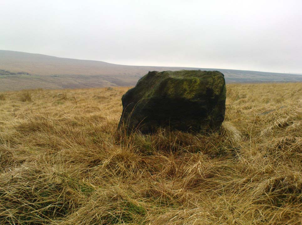
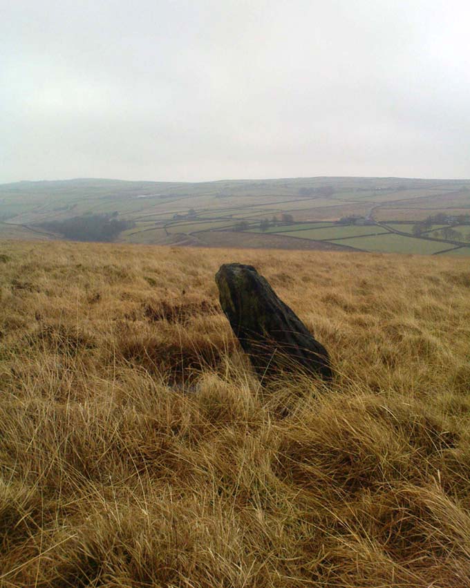
Standing Stone: OS Grid Reference – SD 98924 21378

From Mytholmroyd, take the Cragg Vale road (B6138) up and up and up, until you get past the tree-level and the hills open up on either side of you. Take note of the farmhouse on the right-hand side of the road a half-mile on and park where you can. Walk down the track by the farmhouse (known as Washfold Road) and cross the stream at the bottom. OK – from here walk straight up the hill in front of you! (not along the footpath) In less than 100 yards it levels out and you’re onto the moorland proper. From here walk straight west for about 400 yards. If you deviate a little, don’t worry. You’ll see this small upright stone as you’re getting closer, seemingly in line with several other rocks, almost giving the impression you’ve come across a stone row. Good luck!
Archaeology & History

This small squat standing stone is just over three feet tall (1m), about 10 inches thick and 3½-feet across. Leaning at an angle into the ground, this broad but thin monolith has sunk some distance into the moorland peat.
It was located on February 15, 2011, in the company of Dave Hazell (pacemaker in tow!) on our first sojourn of the year. It hasn’t been mentioned in any previous surveys and aint in anyway what you’d call impressive. Nearby are the early remains of old walling north, east and west of here (one of them being a small enclosure of some type), for which I can again find no other references. What looks distinctly like the remains of a large cairn isn’t far away either. However, it may be that some of the remains up here are medieval in nature and it would be of benefit if someone who specializes in remains from that period could have a look here. The equally curious Turley Holes standing stones can be seen a half-mile northeast of here.
© Paul Bennett, The Northern Antiquarian
The map could not be loaded. Please contact the site owner.