Cup-and-Ring Stone: OS Grid Reference – NN 64118 22897
Getting Here

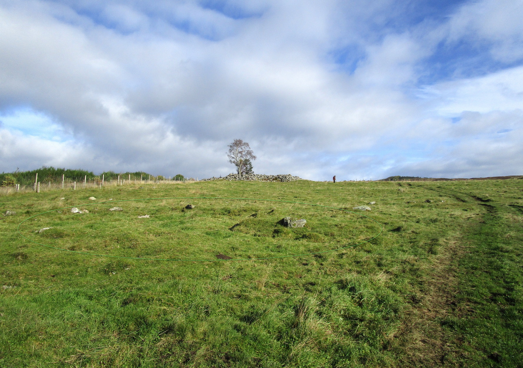
Loch Earn (between the villages of Lochearnhead and St Fillans) has a road running on each side: the north-side is the A85, the south-side is a minor single-track road. You need to be on the south-side. Roughly halfway along the loch, there’s rough parking near Ardvorlich House; and from the track to Ardvorlich, keep on the lochside road, walking east for about 400 yards and then go up the dirt-track on your right. Walk up here for 450 yards until your reach the cottage. There’s a field above you to the left with some small crags near the top: walk uphill (through the gate) for 175 yards and on the topmost crags you’ll see a telegraph pole. The cup-and-ring stone is right next to it!
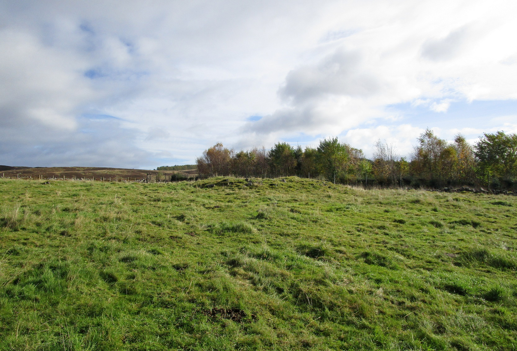
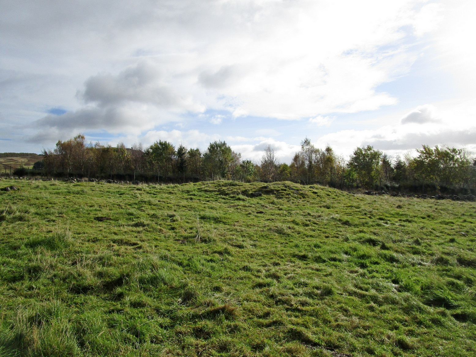
Archaeology & History
The first and only reference to this stone followed its rediscovery by George Currie (2011) in one of his many bimbling forays seeking out these old carvings. He told, in his usual minimalist manner that,
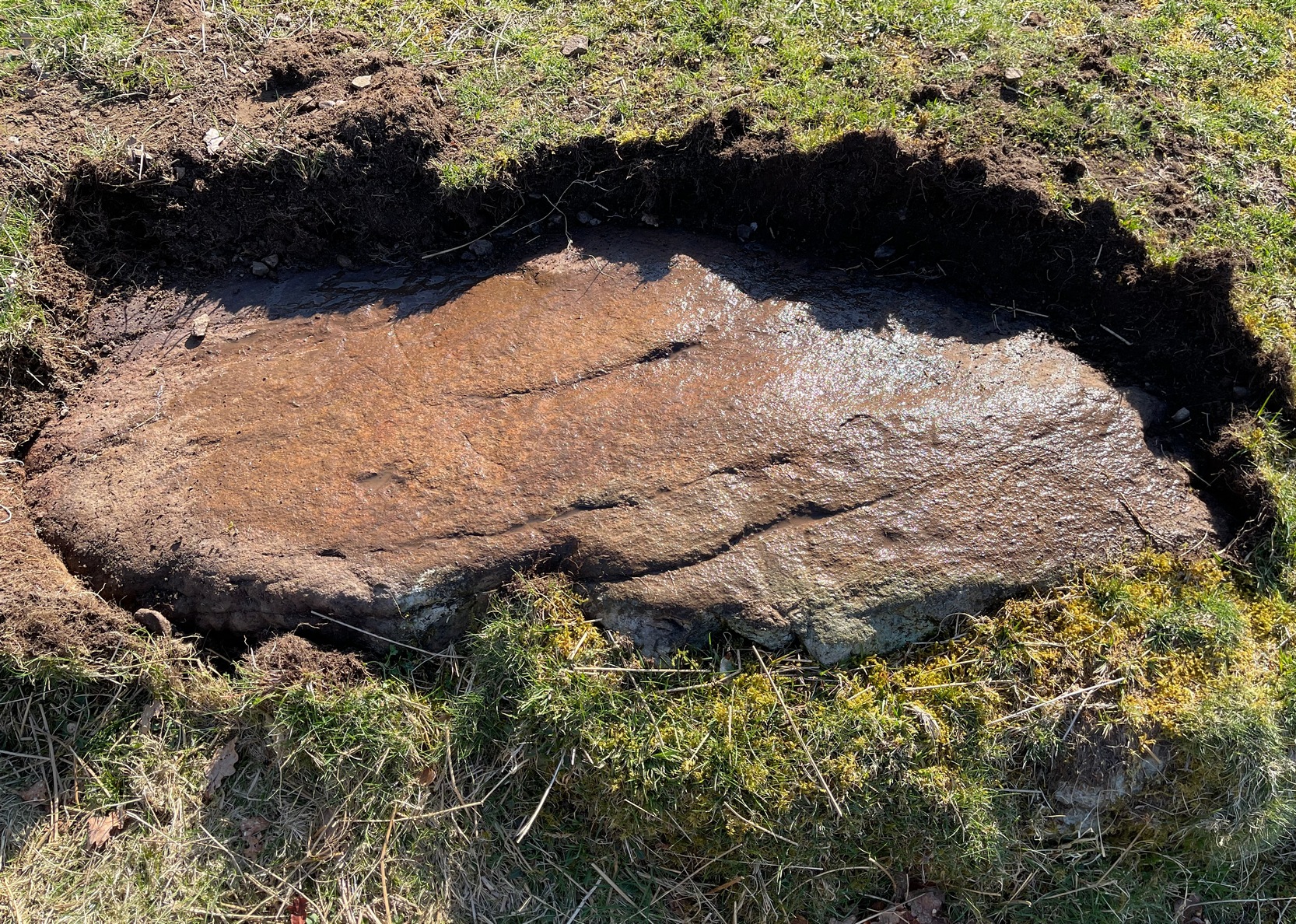
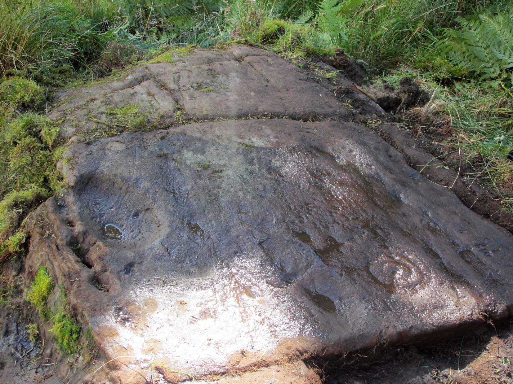
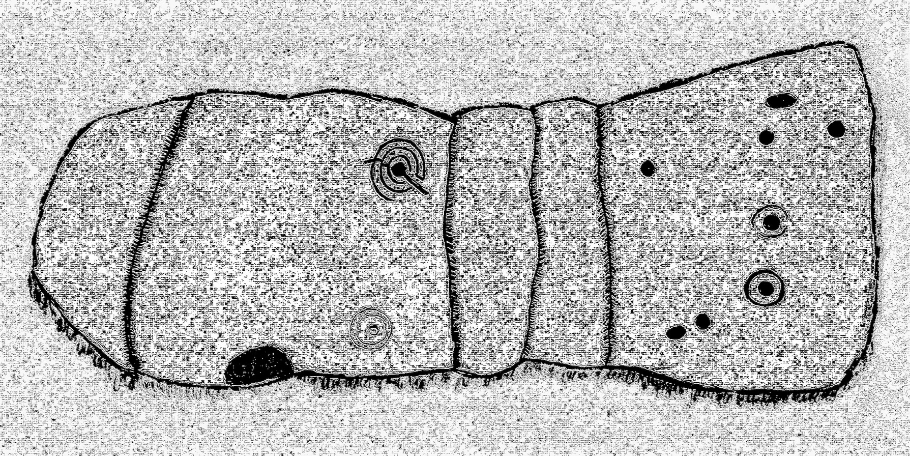
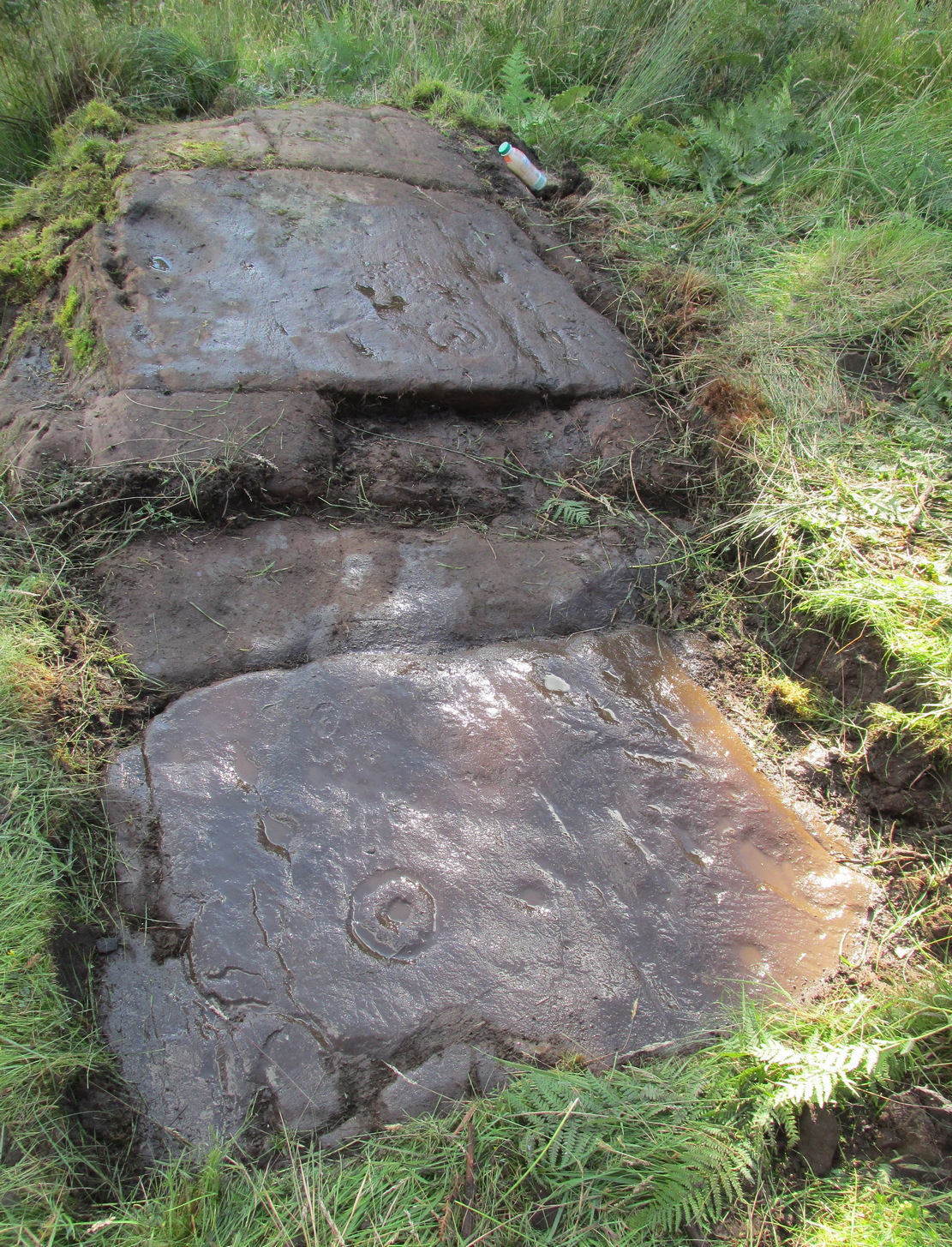
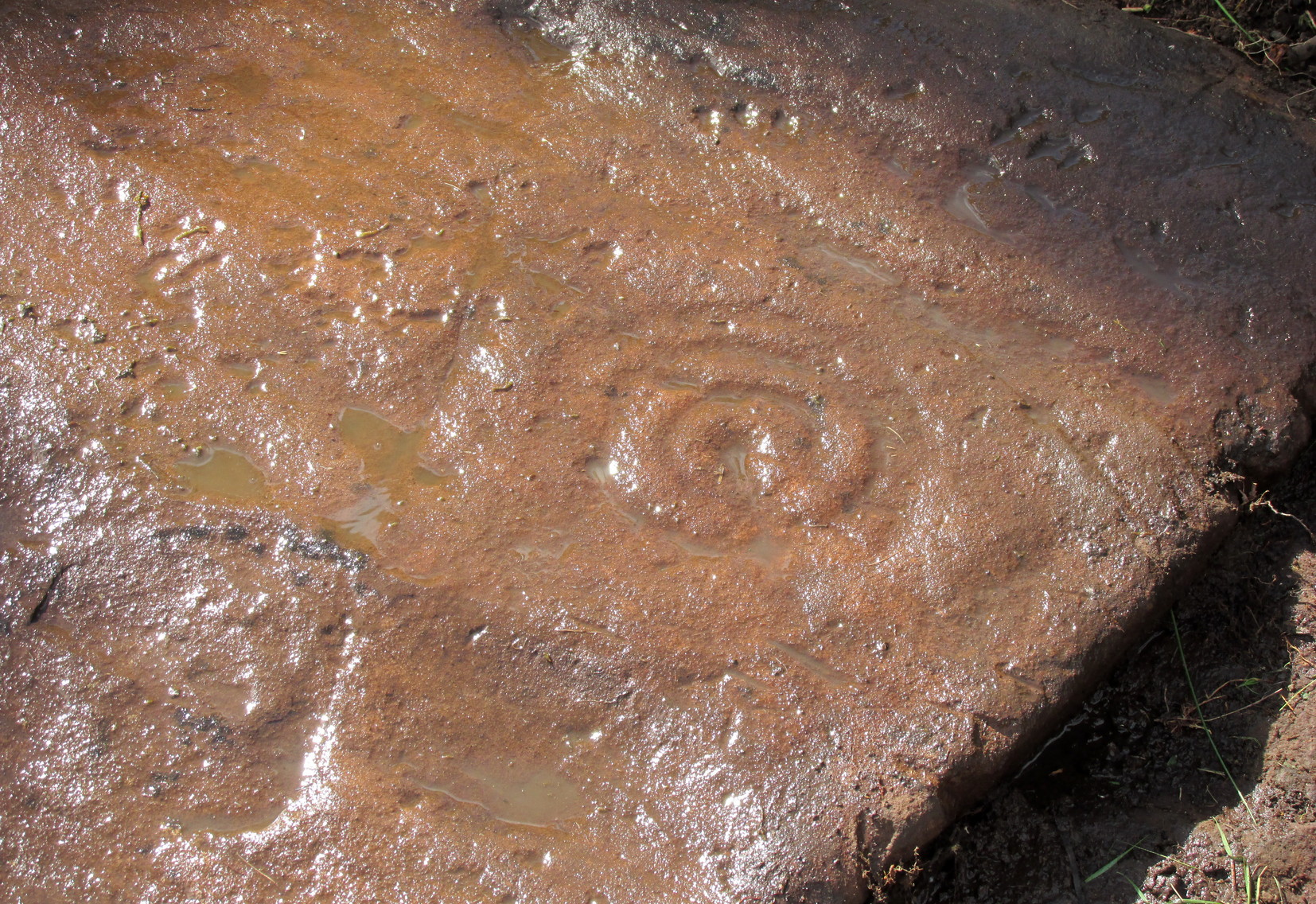
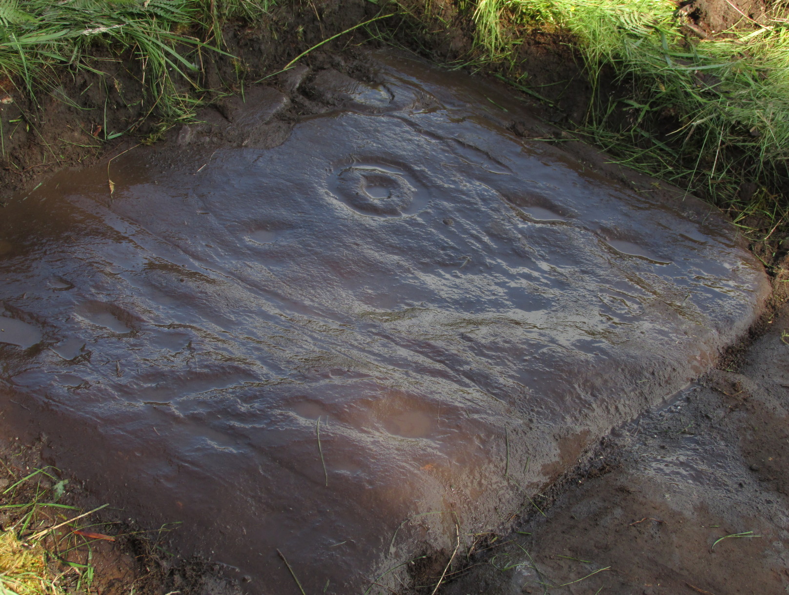
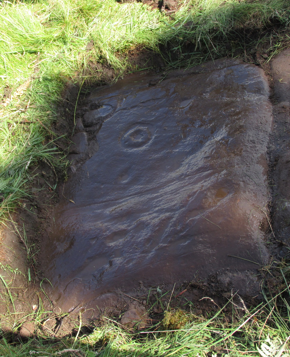
“A stretch of bedrock adjacent to a telegraph pole on a terrace above Balimeanach farmhouse bears thirteen cup marks, at least two of which have single rings, including the largest at 70 x 25mm.”

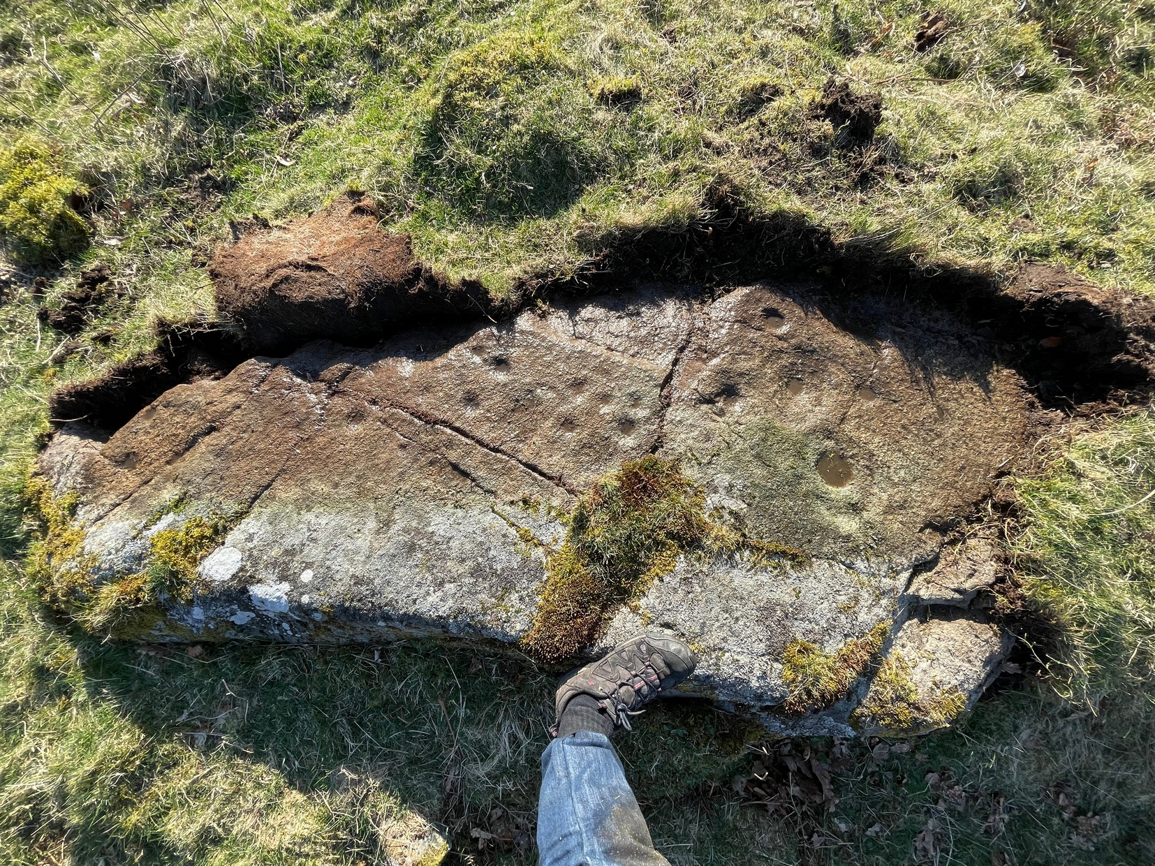
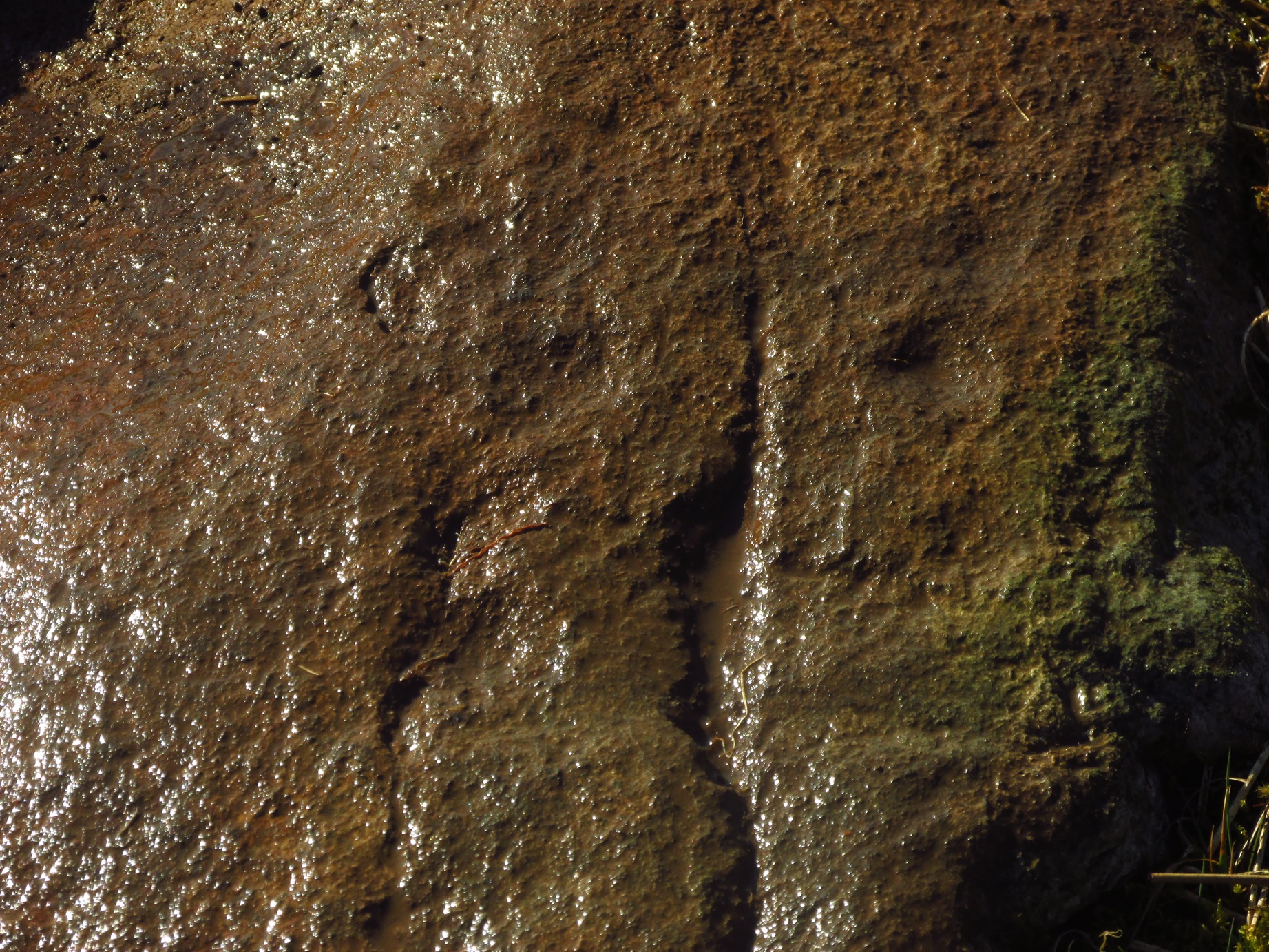
The two cup-and-rings are next to each other on the northen side of the stone, with one based on a small concave depression in the rock itself; but next to this is what seems to be another, third and very faint incomplete cup-and-ring (you can see it in some of the photos here). We walked round and round this and whilst it seems quite obvious, some elements of it appear to be based on natural cracks in the stone, accentuated with minimal pecking by the artist. These three cup-and-rings are next to each other in a veritable Orion’s Belt formation, with a single cup hanging down from the middle.
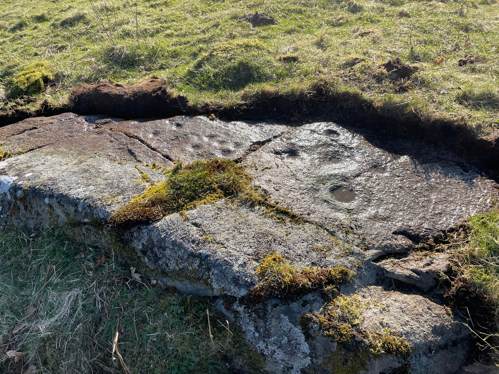
The other main section of the carving consists of a series of plain cups, scattered in a typically chaotic form and clustering mainly round the centre of the stone; whilst on its southern tip a single cup sits quietly.
When we peeled the turf back to see the entire carving, we found there was a considerable scatter of broken quartz all along the western edge of the stone. This element was also found at the Balimeanach (2) carving less than ten yards away and we’ve found this at a number of other petroglyphs in Perthshire and beyond. Even more intriguing was a large carved stone spearhead covered in soil alongside the quartz scatter! We left this where we found it.
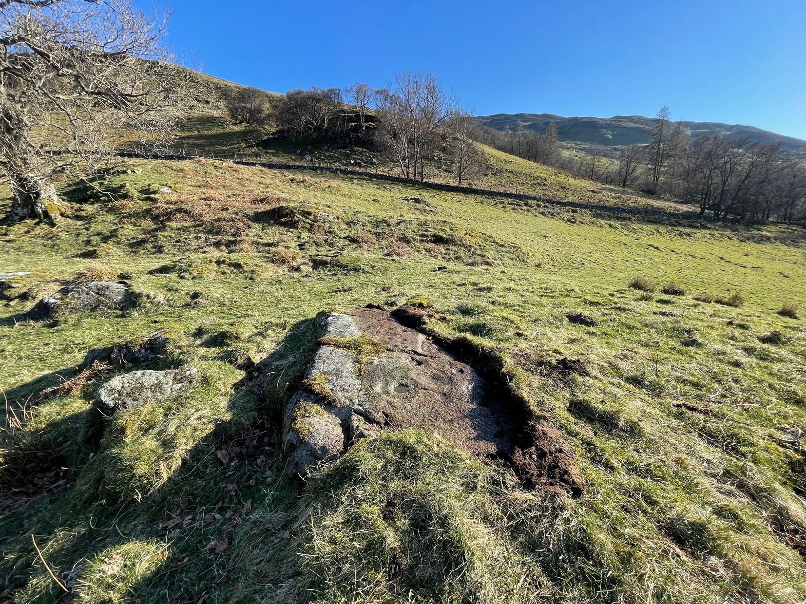
In all probability, there are other carvings that remain undiscovered beneath the turf all along this ridge. Get y’ gardening gloves out!
References:
- Currie, George, “Comrie: Balimeanach (BC 3), Cup-marked Rock”, in Discovery & Excavation Scotland, New series – volume 12, 2011.
© Paul Bennett, The Northern Antiquarian
The map could not be loaded. Please contact the site owner.