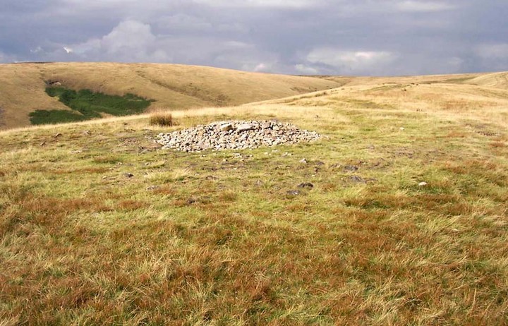
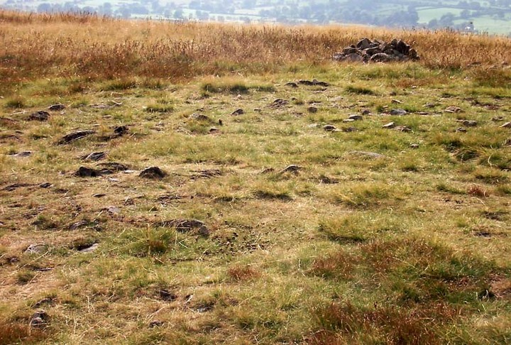
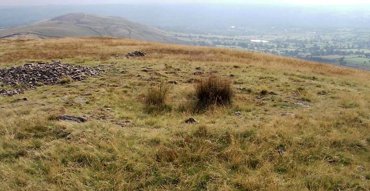
Old Woman’s Well, Guisborough, North Yorkshire

Holy Well (lost): OS Grid Reference – NZ 610 180

Getting Here

The grid reference here is an approximation, but the old well was definitely somewhere very close by, as evidenced by the place-name of the farmhouse. But if you wanna get here and wander about in the hope that you can re-locate this once sacred water source, go up the B1269 road north of Guisborough for about a mile. Carling Howe farmhouse is on the left-hand side of the road. Obviously the old well is somewhere close by…

Archaeology & History

The information I have of this site comes from old place-name listings. I found the reference in the directory for North Yorkshire by A.H. Smith (1928), in his entry for the etymology of ‘Carling Howe’ at Guisborough.  Smith ascribes the references of ‘Kerlinghou’ (which itself appears to have been lost) to mean the ‘Old woman’s mound’ and variants thereof, also saying, “There is an unidentified place in this township called Kerlingkelde,” (12th century ref. Guisborough Cartulary)—the ‘Old Woman’s Well’.  Very commonly in this part of Yorkshire—as at many other locations in northern England—a hou or howe (and variants thereof) relates to a prehistoric tomb – which is probably what we had here: a prehistoric Old Woman’s Grave with an associated Old Woman’s Well in close attendance.

The ‘old woman’ element in this name very probably relates to that primal mythic deity, the cailleach, the great prima mater of indigenous heathen folk, beloved mainly in Scottish and Irish lore, where her copious name and tales resonate to this day. This “well of the Old Woman, or cailleach“, would have been a place of particular importance in the mythic cosmology of our ancestors, but its precise whereabouts seems forgotten. There is a plentiful supply of water around Carling Howe Farm, one or more of which may once have been the site of this well. However, a lot of quarrying operations occurred here in the not-too-distant past, and this may have irreparably damaged our ability to accurately find the site – though perhaps a perusal of old field-maps could be productive.

It would also be good if we could locate the original whereabouts of the old tomb here which gave the place its name – the ‘Carling Howe’.  Other ‘howe’ sites in East and North Yorkshire turn out to be prehistoric burials and I have little doubt that the same occurred here.

References:

  1. o’ Crualaoich, Gearoid, The Book of the Cailleach, Cork University Press 2003.
  2. Smith, A.H., The Place-Names of the North Riding of Yorkshire, Cambridge University Press 1928.

© Paul Bennett, The Northern Antiquarian

The map could not be loaded. Please contact the site owner.

Badger Wells Cairn, Pendle Hill, Lancashire

Cairn:  OS Grid Reference – SD 783 396

Getting Here

Start at the Nick of Pendle and walk up the footpath towards the denuded Apronful of Stones’ cairn.  Keep going up the hill for another 300 yards or so, just past where there’s a path that turns-off towards the ritual Deer Stones. As you walk upwards, in front of you you’ll see the tell-tale sign of many small stones scattered in their tell-tale manner, rising up at the edge of the footpath. This is it!

Archaeology & History

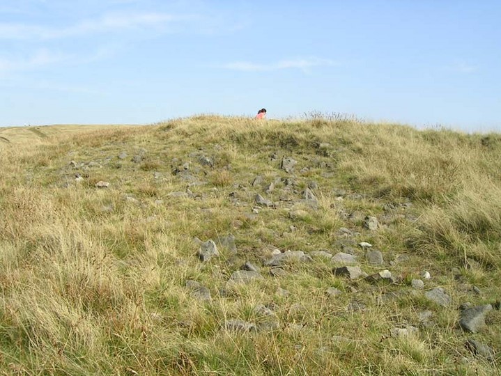
This was the third in a group of previously unrecognized giant cairns that I found in August 2006 (it certainly wasn’t in the archaeology records anyway), all on the south side of our legendary Pendle Hill — and it’s bloody huge!  However, unlike the other two (the Devil’s Apronful and the Lower Apronful of Stones, further down the slopes), this one doesn’t seem as certain as the other two, but it’s still worth including here and cannot be discounted until a decent archaeological assessment has been made.

Looking up to the height of the Badger Wells Cairn
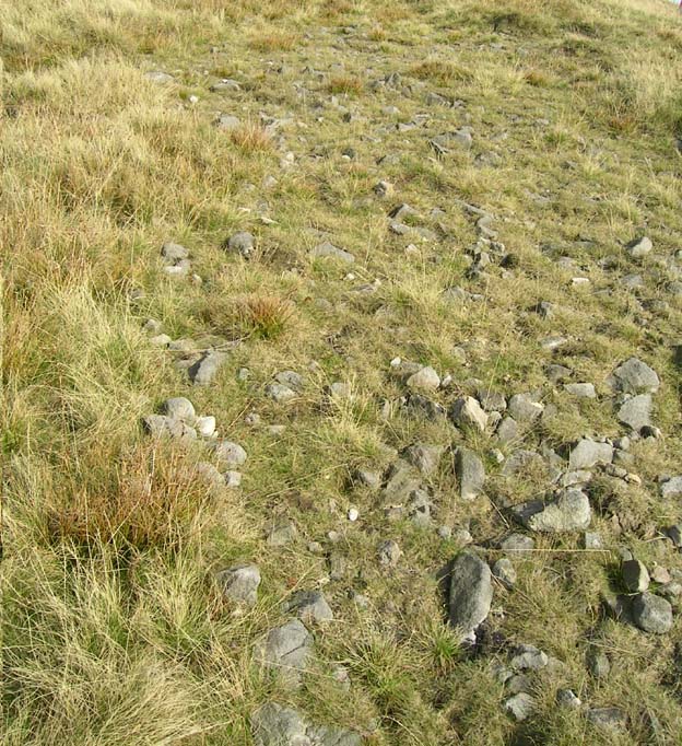
Section of the surface remains, showing thousands of stones

Just like its companion cairns, although it’s covered over with much soil and grasses, all round the edges are hundreds of small stones and rocks, of the same type and size as the other two a bit further down the hill, and similar to the Skirtful of Stones on Ilkley and elsewhere.  The overgrown heap of stones here stands about ten-feet tall from the lower western edge and measures approximately 28 yards (north-south) by 20 yards (east-west).

Although this cairn is named after the nearby Badger Wells — which gets its name either from the local badger population, or else the old ‘badger-men’ who used to trade hereby — another fresh water source also emerges near the bottom of its western side.

Upon asking a couple of passers-by (they were local regular walkers up this great hill) about this and the other giant overgrown cairns upon this hill, they didn’t have a clue they existed — although they did suggest we contact the Lord of Downham on the north side of the hill. And so there we ventured, in search of the Great Stone – and guess who we bumped into…?

© Paul Bennett, The Northern Antiquarian

The map could not be loaded. Please contact the site owner.

Devil’s Apronful, Pendle Hill, Lancashire

Cairn:  OS Grid Reference – SD 77907 39357

Also known as:

  1. Apronful of Stones

Getting Here

The much-denuded Devil's Apronful giant cairn
The much-denuded Devil’s Apronful giant cairn

Many ways to get here, but the easiest for those with cars to is park up on the southeast edge of the hill, at the various scruffy parking bits beside the road at the Nick of Pendle. The view from here is enough to get you going! Walk onto the great hill up to the rounded pap of Apronfull Hill (rather gives it away really!). It’s only a few hundred yards up – about 10 mins up the slope from the road, with awesome views all round once you get there. Tis the small guidance cairn you’re looking at just on the level. You’re there!

Archaeology & History

This would once have been a rather huge cairn/tomb — though when I first found the remains of this place in August 2006, there were no archaeological records describing it that I could find.  But there’s very little left of it.  The lads who did the quarrying further downhill (where you’ve probably parked your car) are likely to have been the culprits who nicked most of the rocks that once made this huge forgotten tomb. But as you potter about here, it becomes obvious that you’re standing on the much-denuded remains of just such a monument (very similar in size and structure to the more famous Little Skirtful and Great Skirtful of Stones on Burley Moor, or Black Hill round cairn near Skipton).  But the remains you can see beneath your feet still give a good idea as to how large it was.

Remnants of the cairn-spoil cover the ground where the monument once stood proud!

You’ll see once you’re stood here that there are hundreds, maybe even several thousands of stones just on and below the ground, scattering a very well-defined roughly circular area measuring at least 21 yards (east-west) by 22 yards (north-south), right by the side of the path. The edges of this ransacked cairn are pretty well defined around the north and eastern sides. Near the centre of the old structure is a very notable ‘dip’ in the ground where it looks as if something has been dug away — though this could just as well be due to the presence of underground water, as indicated by the growth of Juncus grasses.  Without an excavation it’s obviously difficult to tell.

Folklore

Twas the following tale which first led my nose to explore this part of Pendle hill. It’s a tale we find at many of our upland tombs, though the record books said there was nowt here! (any myopic archaeologists out there who reckon that folklore has no relevance to their subject, educate one’s self!)

Looking from the Devil's Apronful towards Jeppe Knave's Grave
Looking from the Devil’s Apronful towards Jeppe Knave’s Grave

The Devil was having trouble with the folk at Clitheroe Castle (a few miles west) and wanted rid of it. So he picked up various large stones and put them in his apron then threw them towards the castle. Most of them missed, which made him angry and in a rage he accidentally dropped a great pile of rocks on the south side of Pendle Hill, creating the Devil’s Apronful on Apronfull Hill.

In another tale he was said to have stood at the Deer Stones a few hundred yards east of here and threw rocks from there. Perhaps a folk-remnant of where the Apronful stones once came from…? Perhaps not.

Jessica Lofthouse (1976) notes how this old spot was long known by local people as the Devil’s Apronful.

References:

  1. Lofthouse, Jessica, North-Country Folklore, Hale: London 1976.

© Paul Bennett, The Northern Antiquarian

The map could not be loaded. Please contact the site owner.