Boundary Stone: OS Grid Reference – SE 01652 28514

Follow the directions to reach Churn Milk Joan, the head 100 yards east till reaching the crossing of footpaths, beneath Crow Hill. Take the northern (left) route and keep walking. Half a mile along you’ll see the tall upright stone to your left. You can’t really miss it!
Archaeology & History
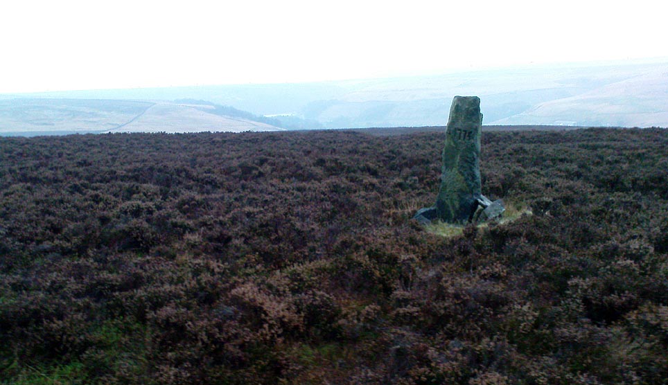
The Greenwood Stone is an old boundary stone and is not prehistoric. It stands more than four feet tall. I first visited the site in 1988 in the company of several folklore and antiquarian writers, including Andy Roberts, Edna Whelan and Graeme Chappell. Twas a good day and coincided with a small collection of Psilocybes being gathered!
The tall upright is a boundary stone that was erected in 1775, as evidenced by the date carved on its southern face. I must emphasize however that this was not when the stone came to acquire its name: this was defined in 1594 as evidenced by a boundary perambulation written that year where it is described as being recumbent: “thence to one lying stone, newly named Greenwood Stone.” About 10-15 yards away is what may have been that very “lying stone,” the original Greenwood Stone, half-buried in the heather some six or seven feet long. It is possible this may have stood upright in the distant past.

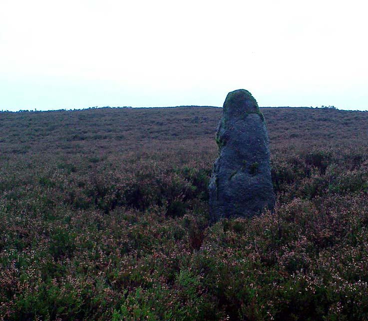
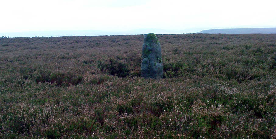
Moving about 75 yards south we come across another small standing stone at 1360 feet (412m) above sea level. This I’ve called the ‘Greenwood B stone’. It was marked on an old map as a boundary stone and is distinctly shaped to stand upright, marking a point separating the moors of Midgley and Wadsworth. When stood upright it is just visible on the horizon when looking from the Miller’s Grave prehistoric tomb several hundred yards east of here and is close to being an equinox indicator.
References:
- Bennett, Paul, The Old Stones of Elmet, Capall Bann: Milverton 2001.
© Paul Bennett, The Northern Antiquarian
The map could not be loaded. Please contact the site owner.

