Warlocks’ Tomb, Muckhart, Clackmannanshire

Tomb/s (lost):  OS Grid Reference – NS 9928 9865

Archaeology & History
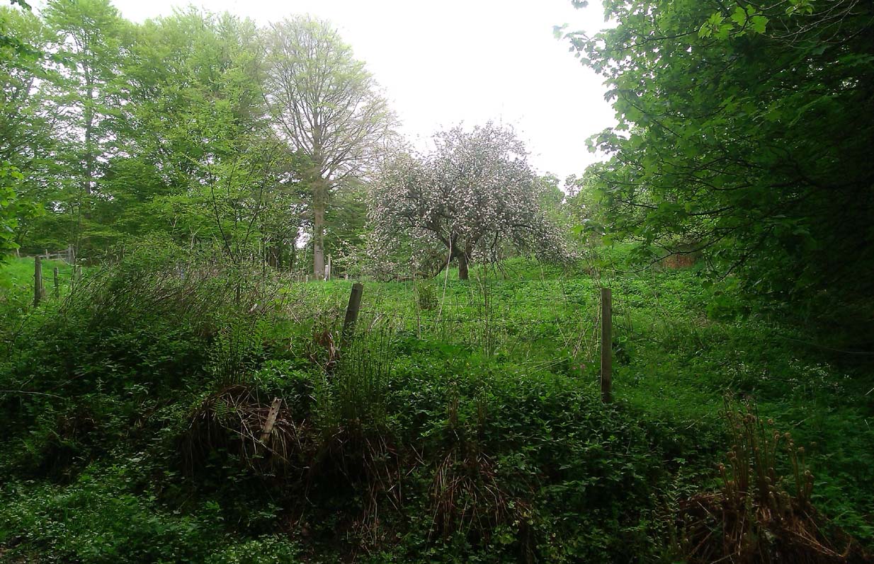
Site of Warlock’s Tomb

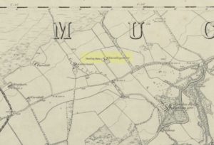
A fascinating site that was described in Johnston & Tullis (2003) local history work on the parish of Muckhart. Amidst an area bedevilled with faerie, boggarts, ghosts and historical shamanic moot sites we find more curious folklore pointing at a long forgotten site, whose age and precise nature remains a mystery.  Adjacent to the old boundary line, close to the meeting of streams, the Muckhart authors told that,

“an orchard above the old farmhouse to this day remains mainly untouched.  It was the burial site of warlocks from the parish and it is thought some may have even been burned at the Mill.  It has always been said that this ground should never be touched!  There is an ancient rubble bridge over the Hole Burn which has a Masonic Eye painted on it to ward off any unwelcome spirits.  Despite the eye, both the Farmhouse and the Millhouse have been home to many strange and ghostly manifestations.”

The folklore sounds to be a mix of archaic and medieval animistic traits: perhaps of a prehistoric cairn, visited and maintained by local people (as found throughout Britain) until the Burning Times, when christian fanatics arrived, debasing the cultural rites and murdering local innocent people.  …Perhaps not.

Looking down on the orchard

When Paul, Maggie and I explored the area a few days ago, we were greeted most cordially by the owner of Muckhart Mill, who knew of the folklore, but didn’t know the exact whereabout of the grave.  We couldn’t find any clues as to its exact location either.  Apart, perhaps, from the top of the hill immediately above the orchard where, alone and fenced off with an old covered (unnamed) well, a solitary Hawthorn tree stood.  We each recalled the aged relationship that Hawthorn has in witch-lore… but that’s as far as it went.  The grave remains hidden and may have been destroyed. If anyone discovers its whereabouts, please let us know so that a preservation order can be made to ensure its survival.

References:

  1. Johnston, Tom & Tullis, Ramsay (eds.), Muckhart, Clackmannanshire: An Illustrated History of the Parish, MGAS 2003.

© Paul Bennett, The Northern Antiquarian

Mineral Well, Dollar, Clackmannanshire

Healing Well:  OS Grid Reference – NS 9855 9804

Also Known as:

  1. Dollar Chalybeate Spring
  2. Dollar Spa
  3. Vicar’s Bridge Spa

Archaeology & History

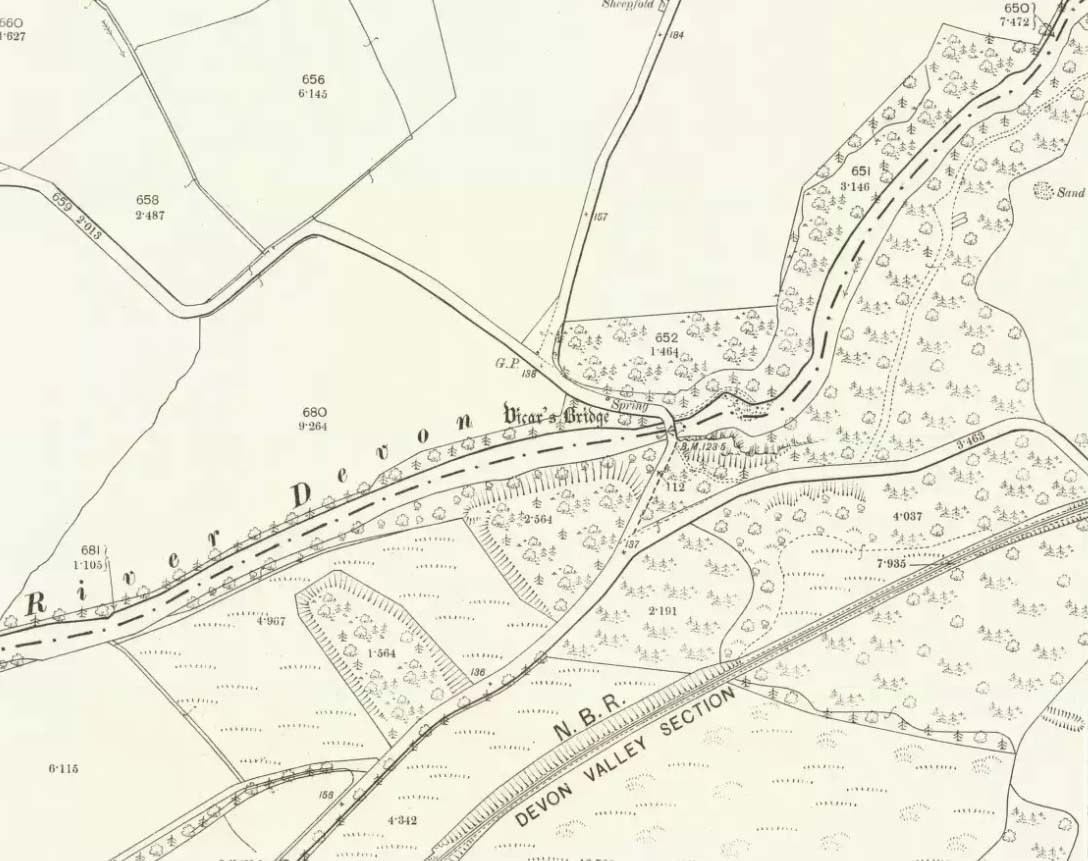
Vicars Bridge spring on 1900 map

Somewhere hiding away above the north-side of the River Devon, just above the Vicar’s Bridge, a little-known healing well came into being following industrial workings in the glen in 1831 by a local iron-working company.  The waters were strongly chalybeate, or iron-bearing—and as the fad amongst the wealthy was, at the time, a love of Spa Wells, this mineral spring was broadcast as a competitor of the Harrogate and Bath Spas.  But it failed pretty fast, sadly.

Bottles of the water were marketed and sold as ‘Dollar Mineral Water’ in many of the large cities, but sales weren’t too good.  Johnston & Tullis (2003) pointed out how the waters would have been coloured like brandy; and despite it being good for anaemia, a good tonic, and favourable in treating cuts and bruises, the mineral spring was no longer of any value as a business, dying a quick death.  Local people still kept using the waters, but in recent years the spring appears to have died too.

References:

  1. Johnston, Tom & Tullis, Ramsay (eds.), Muckhart, Clackmannanshire: An Illustrated History of the Parish, MGAS 2003.
  2. Morris, Ruth & Frank, Scottish Healing Wells, Alethea: Sandy 1982.

© Paul Bennett, The Northern Antiquarian


Castleton, Dollar, Clackmannanshire

Standing Stone: OS Grid Reference – NN 98284 00060

Also Known as:

  1. Canmore ID 25931
  2. Home Farm
  3. Standingstone

Getting Here

Castleton Standing Stone

Easier to locate if you approach from the Pool of Muckhart side: just off the A91, along a small lane that tells you it’s “Walking & Cycle Friendly”!  A half-mile along, up the hill, watch out in the fields to your right, where a clump of trees are enclosed 100 yards off the roadside, before you reach the track to Castleton Farm.  There’s a gate allowing access up the field, but you;re just as well asking at the farm, where the folks there are most helpful.

Archaeology & History

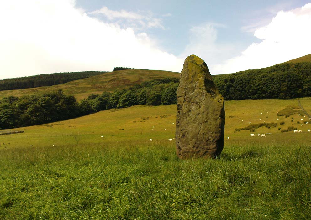
This, to me, is a gorgeous standing stone in a truly beautiful setting, living amidst a richly coloured landscape breathing life all around you.  I get one helluva good feeling when I visit this place—but it’s the cradle of the landscape itself with Law Hill, Gloom Hill and the Ochils stretching around here that adds the genius loci.  But that aside…

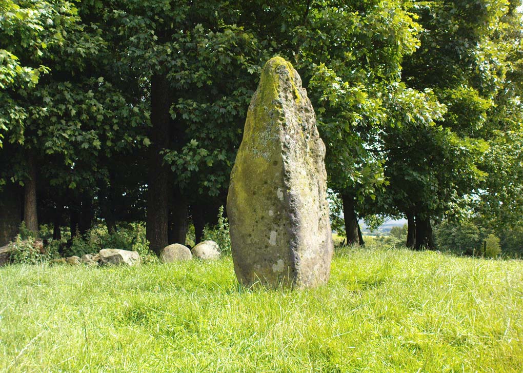
The northern cup-marked side
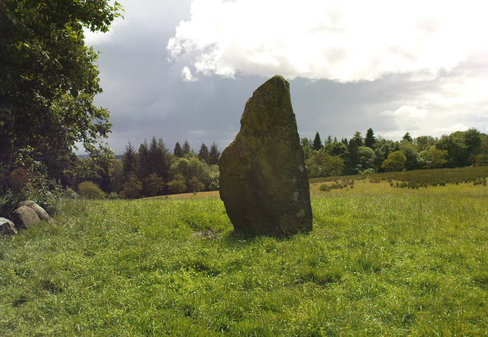
Castleton standing stone, looking south

Originally standing to the west of Castleton farmhouse a couple of hundred yards away, this large three-sided stone was moved and resurrected sometime in the 1920s to its present position.  It stands some eight feet tall, with a couple of its upright faces covered in what looks like curious cup-markings, but these are not man-made and are due entirely to Nature’s handiwork (despite what some archaeologists have said).  Immediately east is a small copse of trees within the remains of an unrecorded walled enclosure; although it is certainly of a later date than our standing stone.

Stone shown on 1866 map

The monolith was first described in the 1859 Name Book as, “a large standing stone about 8 feet high in the angle of the garden wall close to the W side of the farm steading, which gave name to the farm.”  It was shown on the first OS-map of the area by the farm-side when the building was known as Standingstone.

Folklore

In the 1859 Name Book it was told that the stone was “considered a…memorial of some event”, but we know not what.

References:

  1. Royal Commission on the Ancient & Historical Monuments, Scotland, The Archaeological Sites and Monuments of Clackmannan District and Falkirk District, Society of Antiquaries of Scotland 1979.

© Paul BennettThe Northern Antiquarian