Allt a’ Choire Chireinich (06), Ben Lawers, Kenmore, Perthshire

Cup-Marked Stone:  OS Grid Reference – NN 65309 39553

Getting Here

Allt a’ Choire Chireinich 6

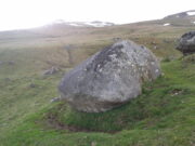
Follow the directions to reach the faint but impressive Allt a’ Choire Chireinich (04) petroglyph.  Standing here, you’ll notice the large boulder that looks as if it’s fallen down the slope immediately to your left.  You can’t really miss it.

Archaeology & History

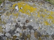
Beneath the gorgeous excess of ancient lichens you can make out at least three cup-marks on the south-facing sloping rock-face in the top-half of the boulder.  There may be some other faint cups on here, but due to the lichens they are very difficult to see, so I’m erring on the side of caution regarding their veracity.  This is another one of those carvings likely to be interest only to the most ardent petroglyphic nuts amongst you.

© Paul BennettThe Northern Antiquarian

Allt a’ Choire Chireinich (05), Ben Lawers, Kenmore, Perthshire

Cup- Marked Stone:  OS Grid Reference – NN 65305 39555

Getting Here

Allt a’ Choire Chireinich 5

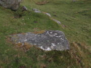
Follow the directions to reach the faint but impressive Allt a’ Choire Chireinich (04) petroglyph.  Standing here, look straight down at the dried-up burn barely ten feet below you, where you’ll see a small sloping rock.  That’s it!

Archaeology & History

Nothing much to see here apart from a single shallow cup-marking.  Most likely of interest only to the most ardent petroglyphic explorer.

© Paul BennettThe Northern Antiquarian

Allt a’ Choire Chireinich (04), Ben Lawers, Kenmore, Perthshire

Cup-and-Ring Stone:  OS Grid Reference – NN 65306 39560

Also Known as:

  1. Canmore ID 238575

Getting Here

The petroglyph & its associates

The petroglyph & its associates

Along the A827 road between Killin and Kenmore, park-up at the Tombreck entrance and cross the road, taking the long track which eventually zigzags up the slope of Ben Lawers.  Keep your eyes on the copse of trees a few hundred yards east that runs up the slopes.  Head towards this, past the multiple-ringed Allt a’ Choire Chireinich stone, then AaCC 2 and AaCC3 carvings, then notice on the other side of the stream a couple of large boulders.  That’s the spot!

Archaeology & History

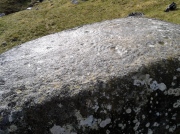
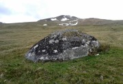
This faint but intricately carved petroglyph is one in a cluster of three carvings, right next to each other—and it’s the best of the bunch by a long way.  A single cup-marking is found on the flat stone beneath this one (AaCC5); whilst the large egg-shaped boulder in front has perhaps a half-dozen cups on it (AaCC6).

Alex Hale's sketch of the carving

Alex Hale’s sketch of the carving

Faint remains of concentric rings

Faint remains of concentric rings

The large flat-topped boulder of AaCC4 however, possesses at least seventeen plain cup markings, along with twenty-four cup-and-rings, six cup-and-double-rings, three cup-and-three rings, three cup-and-four rings, and one cup-and-five rings!  There are some carved lines that emerge from several of the cups, with all of the three cup-and-four rings having a carved pathway emerging from the central cup and going out of the concentric system.  It’s quite a beauty!  And it sits upon the ridge next to the clear drinking waters of the burn, gazing out over Loch Tay and the mountains all around in a quite beautiful landscape.

Immediately above and below the carvings are a number of settlement spots or shielings, known to have been used until recent centuries.  They were quite ideal living quarters and some of the old folk here, in bygone days, would have known old customs and stories of this petroglyph.

References:

  1. Hale, Alex, “Prehistoric Rock Carvings in Strathtay,” in Tayside and Fife Archaeological Journal, 2009.
  2. Yellowlees, Sonia, Cupmarked Stones in Strathtay, Scotland Magazine: Edinburgh 2004.

Acknowledgments: Huge thanks to Lisa Samson, Fraser Harrick and Paul Hornby for their help reaching this site and exploring still further.  Let’s do it again sometime before I vanish forever up into the far North!

© Paul BennettThe Northern Antiquarian


Allt a’ Choire Chireinich (03), Kenmore, Perthshire

Cup-Marked Stone:  OS Grid Reference – NN 65249 39579  –  NEW FIND

Getting Here

Allt a' Choire Chireinich 03 Stone

Allt a’ Choire Chireinich 03 Stone

Take the same directions to reach the large rounded Allt a’ Choire Chireinich 02 carving.  Walk 65 yards (60m) northwest diagonally uphill to another large rounded stone of similar size.  That’s the one!

Archaeology & History

A large cup-marked boulder, not previously recognised, was rediscovered on the afternoon of May 15, 2015.  The great majority of the rock surface is covered in aged lichens, but at least three well-defined cup-markings were noted on the upper rounded surface of the stone: one near the middle of the stone; one near the centre-north; and another towards the top northwest section of the stone.  The cups are more than an inch in diameter and eighth-of-an-inch deep.  Others may be in evidence beneath the vegetation.

© Paul BennettThe Northern Antiquarian


Allt a’ Choire Chireinich (02), Kenmore, Perthshire

Cup-Marked Stone:  OS Grid Reference – NN 65218 39525

Also Known as:

  1. Canmore ID 291477

Getting Here

Allt a' Choire Chireinich 2 stone

Allt a’ Choire Chireinich 2 stone

Along the A827 road between Killin and Kenmore, park-up at the Tombreck entrance and cross the road, taking the long track which eventually zigzags up the slope of Ben Lawers.  Keep your eyes on the copse of trees a few hundred yards east that runs up the slopes and when you are level with the top of it, walk along the line of walling that heads to it.  Go past the top of the trees and the first big boulder you reach is the fella in question.

Archaeology & History

Adjacent to an ancient trackway that runs across the slopes of the mountain, this large glacial boulder sits proudly on the slopes calling out for attention — and attention it certainly received countless centuries ago, when local people (perhaps) decided to cut at least nine cup-markings onto the top of the rock.

Lichen-encrusted cups

Lichen-encrusted cups

Lichen-encrusted cups

Lichen-encrusted cups

The surface today is encrusted with olde lichens of colourful hues, beneath which may be other cup and ring carvings; but as I’m a great lover of such forgotten medicinal primers, I wasn’t about to scratch beneath their bodies to find out.  This petroglyph is worth looking at when you’re exploring the other, more impressive carvings in this Allt a’ Choire Chireinich cluster.

© Paul BennettThe Northern Antiquarian


Allt a’ Choire Chireinich, Kenmore, Perthshire

Cup-and-Ring Stone:  OS Grid Reference – NN 65096 39442  —  NEW FIND

Getting Here

The stone, uncovered

The stone, uncovered

Take the A827 road between Killin and Kenmore and park-up at the entrance to Tombreck. Cross the road and walk up the track that goes up Ben Lawers.  As it zigzags uphill, watch out for you being level with the top of the copse of trees several hundred yards west, where a straight long overgrown line of walling runs all the way to the top of the copse. Go along here, and just as you reach the trees, walk uphill for about 50 yards.  You’re damn close!

Archaeology & History

Whether you’re into prehistoric carvings or not, this is impressive!  It’s one of several with a very similar multiple-ring design to be found along the southern mountain slopes of Ben Lawers.  Rediscovered on May 13, 2015, several of us were in search of a known cup-and-ring stone just 260 yards (238m) to the northwest in this Allt a’ Choire Chireinich cluster, but one stone amongst many called my nose to have a closer sniff—and as you can see, the results were damn good!

Looking from above

Looking from above

Etched onto a large flat rock perhaps 5-6000 years ago, probably over at least two different seasons, the primary design here is of two sets of multiple-rings: in one case, seven concentric ones emerging from, or surrounding a central cup-marking (more than an inch across); and the other is of at least eight concentric rings emerging from a cup-marking, about half-an-inch across. The largest cup-and-seven-rings is the one near the centre of the stone.  Initially I thought this was simply two concentric seven-rings; but the more that I looked through the many photos we’d taken, the more obvious it became that the residue of an eighth ring (possibly more) exist in the smaller-sized concentric system.  It must however be pointed out that neither of the concentric carved rings seem to be complete – i.e., they were never finished, either purposefully or otherwise.  The largest cup-and-seven-rings is the one near the centre of the stone; with the outer smaller example being half the size of the one in the middle.  At first glance, neither of the concentric rings seem complete – and so it turned out when it was enhanced by rain and sun.

First photo of the double-rings

First photo of the double-rings

The large central cup-and-seven-rings has two additional cup-marks within it: one on the outer fifth ring to the southeast, and the other in the outer sixth ring to the west.  This western cup-mark is also crossed by a carved line that runs from the first ring outwards to the west and to the edge of the rock, crossing another cup-mark along the way.  This particular carved line might be the same one that integrates itself into the first ring, and then re-emerges on is northeastern side, to continue out of the multiple-rings themselves and curve over to the eastern side of the rock.  Running roughly north-south through the middle of this larger seven-ring element, a line scarred by Nature is visible which has been pecked by humans on its northern end, only slightly, and running into the covering soil eventually, with no additional features apparent.  Another possible carved line seems in evidence running from the centre to the southeastern edge – but this is by no means certain.

The carving, looking north

The carving, looking north

This large central seven-ringed symbol has been greatly eroded, mainly on its southern sides, where the rings are incomplete, as illustrated in the photos.  Yet when the light is right, we can see almost a complete concentric system, with perhaps only the second ring from the centre being incomplete on its eastern side.  On the southern sides, the visibility factor is equally troublesome unless lighting conditions are damn good.  The northernmost curves, from west to east, are the deepest and clearest of what remains, due to that section of the stone being covered in soil when it was first discovered, lessening the erosion.
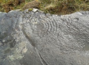
Smallest 7-ring section, with cups

Smallest 7-ring section, with cups

Multiple-ring complex & cups

Multiple-ring complex & cups

Moving onto the second, smaller concentric set of rings: this is roughly half the size of its counterpart in the middle of the stone.  Upon initial investigation you can clearly make out the seven rings, which have faded considerably due to weathering.  It seems that this section was never fully completed.  And the weathering on this smaller concentric system implies one of two things: either that it was left open to the elements much much longer than its larger seven-ring system, or it was carved much earlier than it.  In truth, my feeling on this, is the latter of the two reasons.  Adding to this probability is the fact that even more rings—or at least successive concentric carved ‘arcs’—are faintly visible around this more faint system: at least eight are evident, with perhaps as many as thirteen in all (which I think would put it in the record-books!).  But we need to visit it again under ideal lighting conditions to see whether there are any more than the definite eight.  It is also very obvious that the very edge of the rock here has been broken off at some time, and a section of the carving went with it—probably into the ancient walling below or the derelict village shielings on the mountains slopes above.

Just above the eroded eight-ring section are three archetypal cup-marks close to the very edge of the rock, one above each other in an arc.  Of these, the cup that is closest to the eight-rings possesses the faint remains of at least two other partial rings above it, elements of which may actually extend and move into the concentric rings themselves—but this is difficult to say with any certainty.  However, if this is the case, we can surmise that this small cup-and-two-rings was carved before its larger tree-ring-looking companion.

Below the smaller seven-ringer is the possibility of a wide cup-and-two-rings: very faint and incomplete.  This only seems visible in certain conditions and I’m not 100% convinced of its veracity as yet.
Curious 'eye'-like symbol

Curious ‘eye’-like symbol

'Eye' to the bottom-left

‘Eye’ to the bottom-left

We also found several other singular cup marks inscribed on the rock, all of them beneath the two concentrics, moving closer to the edge of the rock.  But a more curious puzzle is an eye-like symbol, or geological feature, on the more eastern side of the stone.  It gives the impression of being worked very slightly by humans, but as I’m not a geologist, I’ve gotta say that until it is looked at by someone more competent than me, I aint gonna commit myself to its precise nature.  What seems to be a carved line to the left (west) of this geological ‘eye’ may have possible interference patterns pecked towards it.  Tis hard to say with any certainty.

So – what is this complex double-seven-ringer?!  What does it represent?  Sadly we have no ethnological or folklore narratives that can be attributed to the stone since The Clearances occurred.  We only have the very similar concentric six- and seven-ringed petroglyphs further down the mountainside to draw comparisons with.  We could guess that the position of the stone halfway up Ben Lawers, giving us a superb view of the mountains all around Loch Tay might have some relevance to the carving; but this area was probably forested when these carvings were etched—which throws that one out of the window!  We could speculate that the two multiple rings represent the Moon and Sun, with the smaller one being the Moon. They could represent a mythic map of Ben Lawers itself, with the central cup being its peak and outer rings coming down the levels of the mountain.  Mountains are renowned in many old cultures as, literally, cosmic centres, from whence gods and supernal deities emerge and reside; and mountains in some parts of the world have been represented by cup-and-ring designs, so we may have a correlate here at Ben Lawers.  O.G.S. Crawford (1957) and Julian Cope (1998) would be bedfellows together in their view of it being their Eye Goddess.  But it’s all just guesswork.  We do know that people were living up here and were carving other petroglyphs along this ridge, some of which occur inside ancient settlements; but the traditions of the people who lived here were finally destroyed by the English in the 19th century, and so any real hope of hearing any old myths, or possible rites that our peasant ancestors with their animistic worldview possessed, has died with them.

Tis a fascinating carving nonetheless—and one worthy of seeking out amongst the many others all along this beautiful mountainside…

References:

  1. Bernbaum, Edwin, Sacred Mountains of the World, Sierra Club: San Francisco 1990.
  2. Cope, Julian, The Modern Antiquarian, Thorsons 1998.
  3. Crawford, O.G.S., The Eye Goddess, Phoenix House: London 1957.
  4. Eliade, Mircea & Sullivan, Lawrence E., “Center of the World,” in Encyclopedia of Religion – volume 3 (edited by M. Eliade), MacMillan: Farmington Hills 1987.
  5. Evans-Wentz, W.Y., Cuchuma and Sacred Mountains, Ohio University Press 1980.
  6. Gillies, William A., In Famed Breadalbane, Munro Press: Perth 1938.
  7. Michell, John, At the Centre of the World, Thames & Hudson: London 1994.
  8. Yellowlees, Sonia, Cupmarked Stones in Strathtay, Scotland Magazine: Edinburgh 2004.

Acknowledgements:  Huge thanks to Paul Hornby for the use of his photos in this site profile; to Lisa Samson, for her landscape detective work at the site; and to Fraser Harrick, for getting us there again.

© Paul BennettThe Northern Antiquarian


Beinn na Caillich cairn, Broadford, Skye

Chambered Cairn:  OS Grid Reference – NG 6291 2377

Getting Here

Henshall’s plan of Beinn na Caillich tomb

From Broadford town, head northwest outta town up the A87 for a mile, turning left and stopping by the electricity station just 100 yards along.  Follow the line of cables down, SE, through the trees, dead straight for about 600 yards (crossing the large stream about halfway) till you notice an open gap through the trees on your right where, 40 yards in, there’s a large circular arena which has been kept aside amidst which a scattered mound is clearly visible.  In this opening in the trees…this is where the tomb/s rest…

Archaeology & History

Sited a mile east on lowlands beneath the shadow of Beinn na Cailleach mountain, with its host of heathen legends and lore, is reputed to be the prehistoric remains of an important ancestral burial site, under dominion of the cailleach’s eye.  In Audrey Henshall’s (1972-2) magnum opus she describes the remains of what may be two separate tombs here as “difficult to interpret”; even “questioning whether they do in fact represent the ruins of a chambered cairn” as has been ascribed.  The site is still included in the Canmore survey, where they cite the same reference as I do here, but add no additional data to Henshall’s query.  There is obviously something to be seen here, but until excavation of the site has been done, the exact nature of what lies here cannot be clarified.  Miss Henshall wrote:

“There is a setting of stones forming about a third of the west side of a circle which would have a diameter of about 30ft if complete; its greatest N to S measurement is 23ft. The stones are thin slabs 4 to 5in thick, up to 3ft 6in long, set on their long sides and projecting up to 2ft above the turf.  The stones have probably been reduced in size due to natural fracturing as the stone readily flakes away. Within this setting, which might be interpreted as the kerb of a cairn, there is a rise of about 1ft above ground level and the grass grows greener, but except for this and a number of boulders lying about the site, there is no sign of cairn material. This is curious as there is no obvious reason for removing it.

“Inside the ‘kerb’ there is a horse-shoe setting of five similar slabs, just visible except for two on the S side which project 1ft 2in due to some peat on their N side having been removed. The enclosed area is 7ft wide by 7ft 6in long, open on the E end.  On this side, 14ft from the W end of the setting, is a larger stone, set on end, 2ft 8in high.  This might be regarded as a portal stone except that it is set opposite the centre of the open end of the horse-shoe setting, and there is a low thin slab projecting westwards from the middle of its W face.  E of this there lie a number of flat slabs and boulders, the larger (some measuring 3ft 8in by 3ft and 4 by 2ft) marked on the plan, but they do not suggest the form of the original structure.

“A stone is set radially to the kerb, 15ft 8in to the N.  It is on its long edge, 4ft 11in long and 2ft 2in high.  Twenty eight feet S of the kerb there is a circular setting of small boulders, 6ft 6in across inside, and part of another concentric setting can be traced 6ft outside these.”

References:

  1. Henshall, Audrey, The Chambered Tombs of Scotland – volume 2, Edinburgh University Press 1972.

© Paul BennettThe Northern Antiquarian


Beinn na Cailleach, Kylerhea, Skye

Sacred Mountain:  OS Grid Reference – NG 770 229

Also Known as:

  1. Beinn na Caillich

Getting Here

As you drive down the A87 road towards Broadford from the Kyle, just before Breakish there’s a small road on the left that runs down to Glen Arroch, where the forest lines the hill.  A couple of miles beyond the end of the forest, watch out for the TV mast on the slopes on the right-hand side of the road.  Stop here and go up the slopes on the left-side of the road (north), to the peak of Sgurr na Coinnich; and once here you’ll see the high rocky peak of Beinn na Cailleach a half-mile to your northeast.  

Folklore

The legend of this sacred mountain was described at some length in Otta Swire’s (1961) excellent work on the Isle of Syke.  She wrote:

“”As you drive down the road towards Broadford, three peaks can be seen to the north; the first two are Beinn na Greine (2,000 feet) and Scurr na Coinnich (2,401 feet); the third and most northerly is Beinn na Caillich (2, 396 feet). This last must not be confused with the Beinn na Caillich near Broadford, which is one of the Red Cuchullins although, just to make it more confusing, on the summit of our Beinn na Caillich, as on that of her larger sister, tradition has placed a woman’s grave. This time it is that of a giantess, one of the Fiennes: beneath her body is a large crock filled with gold and jewels, for she was a great lady, no less than Grainnhe herself, wife of Fionn, and at her burial every man of the Fiennes, for love of her and of their leader, cast their rarest jewels into the earthenware crock to do her honour. Her story, as is so usual in Celtic legend, is a sad one. Grainne is the daughter of the King of Morven and is reputed the fairest and truest princess in all Alban, so the Grey Magician, who hates all that is good, carries her off. One day, as Fionn and his men rest after hunting, an old, old woman, wrapped in the red mantle that denoted royal blood, comes to him, tells him of the theft of Grainnhe and begs him to rescue her. He agrees, whereupon she gives him a fir twig and three small pebbles, all highly magic; she then goes out of sight ‘on an eddy of the western wind, growing smaller as she went until she seemed no bigger than a butterfly, a honey bee, a red spider on a thin rope of its web, and a speck of dust in the sun’. Fionn sets out and after many adventures, during which he is assisted by several talking animals, he finds the Grey Magician’s palace and escapes with Grainnhe. Thanks to the old woman’s gifts, forests and mountains rise behind the fugitives, but before they can reach the Red river, to cross which is safety, the Magician overcomes the old woman’s charms. They reach the river bank only to find they cannot cross, and Fionn’s magic is exhausted. But Grainnhe has a jewel, a charm against death; as long as she wears it in her hair no evil can harm her; alternatively it will give her one wish and vanish. She takes it from her hair to wish for a boat and immediately sees, as in a vision, the fate to which she will condemn herself if she gives up her talisman. But Fionn is in peril through his efforts to save her, and already she loves him, so she lays the jewel on the water. A boat at once appears and takes them to safety.

Fionn and Grainnhe are married and live in great happiness until Grainnhe’s son is about to be born. Then come messengers to Fionn to tell him that sea-pirates are attacking his small dark-skinned allies, the Sons of Morna, who have sent to remind him of his pledge to assist them. Fionn longs to remain with Grainnhe but will not break his vow. He and his men spend three days defeating the sea-pirates and when he returns Grainnhe and her baby are gone, carried off by the Grey Magician. Fionn learns from his ‘tooth’ that she has been turned into a hind. He searches for her for many years, but she has been sent to run with the deer in lone Glen Affaric and he never finds her. Twelve years later, when the Fiennes are hunting, their hounds pick up a scent and follow it to a small copse; Bran, who is leading, is the first to enter it, whereupon, to the surprise of all, he turns at bay, teeth bared against the Fiennes and his fellow hounds of the pack and will allow no one but Fionn to pass him. Fionn finds him guarding a wild boy, with long hair and wild, beautiful, frightened eyes, who can make only such sounds as deer make. Fionn adopts him and teaches him human speech. Needless to say, he is Grainnhe’s son, but Grainnhe, the beautiful white hind of whom her son talks, is never found. After her death the Grey Magician permits her son to take her body, once more that of a woman, for burial, and the Fiennes make her grave on the summit of Beinn na Caillich, where she once ran as a hind.

It is recounted of this boy that he had in the centre of his forehead a tuft of deer’s fur where his mother’s tongue had licked him, and that it was from her that he got his gift of poetry. Once he was shipwrecked on Fladda and a party of hunters on the island offered him a share of their venison stew, to whom he made indignant reply: ‘When everyone picks his mother’s shank-bone, I will pick my mother’s slender shank-bone.’  The boy was Ossian.”

References:

  1. Bernbaum, Edwin, Sacred Mountains of the World, Sierra Club: San Francisco 1990.
  2. Swire, Otta F., Skye: The Island and its Legends, Blackie & Sons: Glasgow 1961.

© Paul BennettThe Northern Antiquarian 


Bengengie North, Alva, Clackmannanshire

Enclosure:  OS Grid Reference – NN 86680 00601  

Getting Here

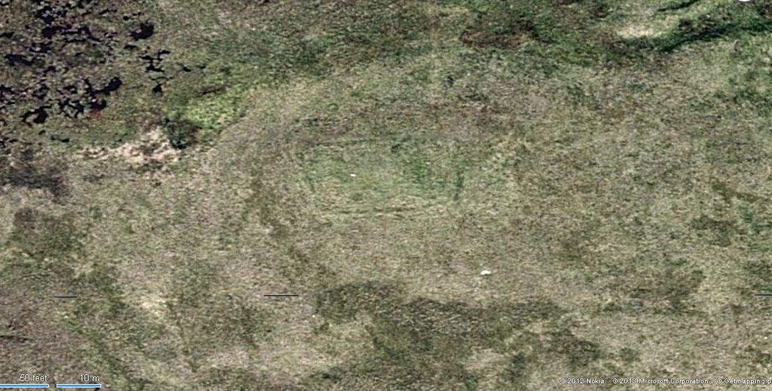
Aerial view of Bengenie enclosure

This really take a lot of effort to find. From Alva, go up through the graveyard past St. Serf’s Well, turning left and across cross the lane. A gate into the field takes you past Rhodders Farm then up the zigzagging track up the steep hill called The Nebit and into the Ochils. Where the track stops zigzagging, keep your eyes peeled for a left turn (west) about 1000ft up. Go along this, parallel above Alva Glen, for about 2 miles till you reach the sheep fanks. Naathen – go straight uphill towards Bengengie peak, steering to the right (north) side, avoiding the cliffs and onto the level moorland. Once there, you’ll see a rounded hillock a coupla hundred yards ahead. That’s the spot!

Archaeology & History

Southeastern corner of the ditch & bank

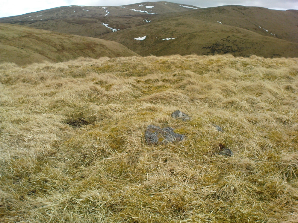
This is a bittova long hike to see a very overgrown site – but if you really enjoy the hills, it’s a good little side-track to visit.  I came across it recently on a long bimble over the Ochils, on my way back home after travelling to three of the Ochil peaks.  Walking carefully across the swampy heights of the Menstrie Moss, a rounded hillock north of Bengengie seemed to have the pimple of a cairn on its top—so I veered over to have a look.

The cairn was small and overgrown, with just a half-dozen rocks visible above ground, and a collection of others in the same pile beneath the heathland grasses.  It was obviously a man-made assemblage, but I couldn’t say for sure whether this was the grave of a person or someone’s favourite sheep a few centuries back!

Small cairn inside the enclosure

It was when I walked around the cairn to try and get some photos of it, that another very distinct feature—not immediately visible—stood out and gave this single cairn a series of additional ingredients that really brought this site to life!  For just a few yards east of the cairn I noticed an obvious ditch and outer embankment, running roughly north-south, which may have relevance to the pile of stones.  And so I walked along the edge of the embankment, for about 10 yards, only to find that it turned to the right and continued onwards, east-west, for some distance.  This then turned at a similar angle again about 30-35 yards along, and then again, and again, until I returned to where I had stood initially a few minutes earlier!

There was no doubt about it: this was a man-made, roughly rectangular-shaped enclosure, whose bank and ditch averaged 1-2 yards across.  The maximum height of the outer embankment is less than 3 feet.  Its eastern and western lengths measured roughly 17-18 yards long, and the longer lengths north and south were between 30 and 35 yards at the most.  The cairn feature that I’d initially noticed is found at the near-eastern edge of the enclosure. Apart from that, my initial ramble here indicated few other internal features that were visible, except several small stones.

Southern line of bank & ditch, running left to right
Eastern section of ditch & bank, looking north

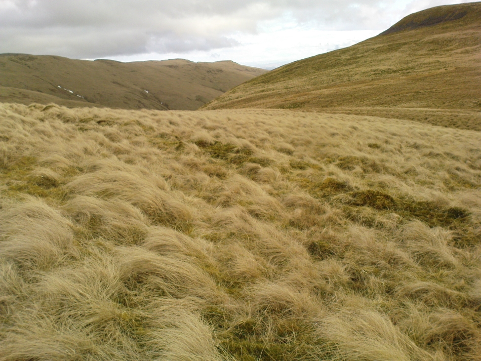
The great majority of the site is very overgrown and, as you can see, the photos of the ditch and bank constituting the enclosure are sadly not that easy to make out.  You can see it mostly by the colour changes of the vegetation, running in lines either across or up through the middle of the photos.  I need to get up there again and try get some better images sometime soon—and also to see if there are other features hiding away on the heights of these old hills, long since said to have been the abode of one of the great Pictish tribes (there is also a considerable mass of old faerie-lore in these hills, indicating considerable ancient activity of people whose cosmos was inhabited by spirits and forms long since forgotten in the consensus trance of most moderns).

As for the age of the enclosure: it’s difficult to say on first impression and I’m not keen on making a guess on this one.  It’s certainly old, as the overgrown vegetation clearly shows, both on the photos and when you see it first-hand.  It’s already been suggested by one graduate as possibly neolithic, but I’m a little sceptical about that, as its linearity isn’t consistent with neolithic features we know about in the mid-Pennines. However, this geographical arena is new landscape for me and so the possibility remains open until better, more competent investigation gives us a clearer time period.

© Paul BennettThe Northern Antiquarian


Maiden’s Well, Glendevon, Perthshire

Healing Well: OS Grid Reference – NN 9703 0139

Also Known as:

1. Maiden Well

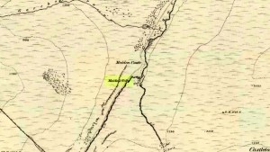
Maidens Well on 1866 map

Getting Here

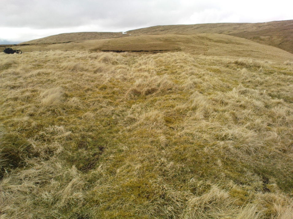
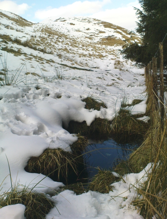
Follow the same directions as if you’re going to the Maiden Castle fairy hill.  About 100 yards before reaching the hill, on the right-hand side of the footpath between the tree-line and the small stream, you’ll see a small pool of water. This is Maiden’s Well.

Archaeology & History

Maiden's Well - and the fairy haunt of Maiden Castle hill behind
Maiden’s Well – and the fairy haunt of Maiden Castle hill behind

A mile northeast of the faerie-haunted Butter Well, just on the border of Clackmannanshire and Perthshire, we find this little-known magickal spring.  More than a century ago, the story of this remote well was heard about hundreds of miles away by one Rev. Andrew Clark of Oxford, “who heard it from the late sexton of the parish of Dollar, in the county of Clackmannan” and who then mentioned its existence to the great Victorian Celtic scholar John Rhys (1901), who subsequently wrote of it as being “a fine spring bordered with flat stones, in the middle of a neat, turfy spot”, close to the legendary faerie hall of Maiden Castle. The well itself has now given birth to a pool whose waters, so folklore and text ascribe, always provides good clear water even in the height of summer.

The local historian Hugh Haliburton (1905) told that the well obtained its name from a princess who was held captive in Castle Campbell in the valley to the southwest, and that she was sometimes allowed out of prison by her captors, to walk to the well and drink its waters.

Folklore

This tale has been mentioned by various historians and, no doubt, has some religious relevance to the faerie lore of Maiden Castle, close by, Bruce Baillie (1998) told:

“A story associated with it states that it is haunted by the spirit of a beautiful maiden which only appears at night and, should any male attempt to kiss her, coronary thrombosis occurs.”!

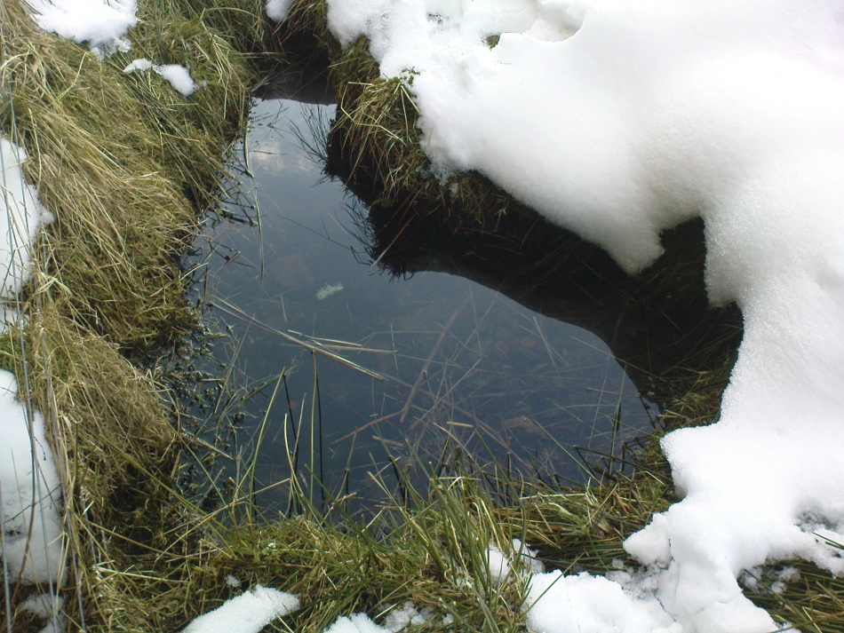
The Maiden's Well pool
The Maiden’s Well pool

Earlier accounts tell of magickal rites that could be used to invoke the beautiful maiden, but once again dire consequences may befall the poor practitioner.

To this day, local people visit the well and make offerings to the spirit of the waters, as you’ll see if you come here.  Some of the remains here are very old; and a visit not long ago indicated that offerings were made even when surrounded by depths of snow in the middle of a freezing winter.

References:

  1. Baillie, Bruce, History of Dollar, DMT: Dollar 1998.
  2. Fergusson, R. Menzies, The Ochil Fairy Tales, Clackmannan District Libaries 1985.
  3. Haliburton, Hugh, Excursions in Prose and Verse, G.A. Morton: Edinburgh 1905.
  4. Rhys, John, Celtic Folklore – Welsh and Manx: volume 1, Oxford University Press 1901.
  5. Watson, Angus, The Ochils: Placenames, History, Tradition, PKDC: Perth 1995.

© Paul BennettThe Northern Antiquarian