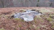
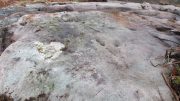
Judge’s Cairn, Dunblane, Perthshire

Cairn:  OS Grid Reference – NN 73944 05618


Also Known as:

  1. The Big Cairn
  2. Canmore ID 24661
  3. Dalbrack

Getting Here

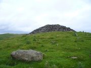
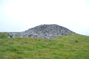
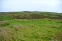
Judges Cairn, looking west

Along the A820 road between Dunblane and Doune, from the Dunblane-side, take the very first minor road on your right a few hundred yards after you’ve come off (or over) the A9 dual-carriageway.  Go all the way to the very top of this long and winding road for several miles, until you reach the gate which prevents you going any further. Walk up the slope on your left (west) and you’ll see the large grassy mound a coupla hundred yards ahead of you. That’s it!

Archaeology & History

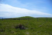
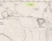
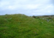
Highlighted on the first Ordnance Survey map of the area in 1862, this is a large rounded prehistoric cairn of some considerable size, whose position in the landscape allows for an impressive 360° view way into the distance in several directions—a deliberate ingredient, no doubt, when it came to building this probable tomb.  I say “probable”, as there has never been a dig (not an ‘official’ one anyway) into the heart of this overgrown rocky mound.
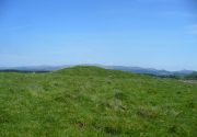
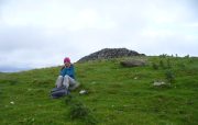
Looking SE into the Ochils
Judges Cairn on 1862 map

More than 60 feet in diameter at its greatest and 6 feet high, with a circumference of 67 yards (61m), the top of the mound has been disturbed and, clearly, has been dug into at some time in the distant past—but archaeohistorical accounts are silent on this matter.  The first description of the Judge’s Cairn seems to have been in Peter Stewart’s (1839) notes on the local antiquities of Dunblane, where he described it most simply as:

“The Judges Cairn, yet undispersed, a circular heap of rough mountains stones covered with furze, on the farm of Bowie, barony of Kilbride.”

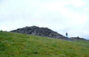
Along with the Ordnance Survey lads who came here in 1862, all subsequent visits gave rise to only short notes about the place.  Odd, considering its size and distinct vantage point.  And yet it remains hidden from view unless you come from the north, from whence that archetype of a fairy mound raises itself above Nature’s fair body into the eyes of any ambling wanderer…. A wonderful place to sit and dream for a while…

Folklore
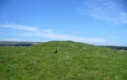
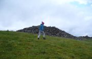
Judges Cairn, looking NE

We enquired with a local whose family had been resident here since the mid-18th century about the name and folklore of the site, but he said he knew of nothing.  However, in earlier times it was said to be a place where the local sheriff held court and dispensed justice.  Mr Mackay (1984) told that the site “has been connected with the Judge’s Seat at Severie” nearby.  It seems possible that, as “it is just outside the parish boundary” between Doune and Dunblane, this may have been a moot site in ancient times, from whence laws were dispensed.  Old perambulation records may, perhaps, prove fruitful…

References:

  1. Barty, Alexander, The History of Dunblane, Eneas MacKay: Stirling 1944.
  2. Mackay, Moray S., Doune – Historical Notes, Forth Naturalist: Stirling 1984.
  3. Royal Commission on the Ancient & Historical Monuments of Scotland, Archaeological Sites and Monuments of Stirling District, Central Region, Society of Antiquaries of Scotland 1979.
  4. Shearer, John E., “Prehistoric Man and Prehistoric Remains in Britain,” in Transactions of the Stirling Natural History & Archaeological Society, 1907.
  5. Stewart, Peter G., Essay on the Dunblane Mineral Springs, Hewit: Dunblane 1839.

© Paul BennettThe Northern Antiquarian


Wells o’ Wearie, Duddingston, Edinburgh, Midlothian

Sacred Wells (destroyed):  OS Grid Reference – NT 2741 7241

Also Known as:

  1. Wells o’ Weary
  2. Well of Wery

Archaeology & History

The precise spot for these “wells” is difficult to say today with any certainty, which is unfortunate as it was a renowned spot for a variety of reasons.  The wells were apparently disrupted and fell back into the Earth when the Industrialists dug their train-line into the south-side of Arthur’s Seat.  On the early maps, we can see several ‘troughs’, ‘pumps’ and ‘wells’—one or more of which are said to be the site (and which we base the OS grid-reference on, above).

Site on 1821 Kirkwood map
Wells o’ Wearie ponds

The Wells of Wearie were one of nearly a dozen sacred and healing wells surrounding legendary Arthur’s Seat at the edge of Edinburgh, and whose waters were also said to have supernatural properties.  Shown on James Kirkwood’s 1821 map of Edinburgh (left) as the ‘Well of Wery’, this curiously named site was renowned in earlier centuries as an excellent water supply for the local people — “to cure the weary traveller” for one.  Today, all we have left of them are the small ponds immediately below the road, next to the converted railway line path, just as you come out of the long tunnel.

Folklore

In Henderson & Cowan’s (2007) fine work on Scottish fairy lore, they outline the witchcraft trial of a local woman, Janet Boyman, who was said to have performed ritual magick at the Wells of Wearie.  They told:

“Jonet Boyman of Canongate, Edinburgh, accused in 1572 of witchcraft and diabolic incantation, the first Scottish trial for which a detailed indictment has so far been found. Indeed, it is one of the richest accounts hitherto uncovered for both fairy belief and charming, suggesting an intriguing tradition which associated, in some way, the fairies with the legendary King Arthur.  At an ‘elrich well’ on the south side of Arthur’s Seat, Jonet uttered incantations and invocations of the ‘evill spreits quhome she callit upon for to come to show and declair’ what would happen to a sick man named Allan Anderson, her patient.  She allegedly first conjured ‘ane grit blast’ like a whirlwind, and thereafter appeared the shape of a man who stood on the other side of the well, and interesting hint of liminality.  She charged this conjured presence, in the name of the father, the son, King Arthur and Queen Elspeth, to cure Anderson.  She then received elaborate instructions about washing the ill man’s shirt, which were communicated to Allan’s wife.  That night the patient’s house shook in the midst of a huge and incomprehensible ruckus involving winds, horses and hammering, apparently because the man’s wife did not follow the instructions to the letter.  On the following night the house was plagued by a mighty din again, caused, this time, by a great company of women.’”

The Wells were, in earlier centuries, a site where lovers and wanderers came to relax and dream. It was a traditional gathering spot — not just for witches! — and poetry was written of them – including this by A.A. Ritchie:

“The Wells o’ Wearie — 

Sweetly shines the sun on auld Edinbro’ toun.
And mak’s her look young and cheerie;
Yet I maun awa’ to spend the afternoon
At the lanesome Wells o’ Wearie.

And you maun gang wi’ me, my winsome Mary Grieve,
There’s nought in the world to fear ye;
For I hae ask’d your minnie, and she has gien ye leave
To gang to the Wells o’ Wearie.

O the sun w-inna blink in thy bonny blue een.
Nor tinge the white brow o’ my dearie.
For I’ll shade a bower wi’ rashes lang and green,
By the lanesome Wells o’ Wearie.

But Mary, my love, beware ye dinna glower
At your form in the water sae clearly,
Or the fairy will change ye into a wee wee flower,
And you’ll grow by the Wells o’ Wearie.

Yestreen, as I wander’d there a’ alane,
I felt unco douf and drearie,
For wanting my Mary a’ around me was but pain
At the lanesome Wells o’ Wearie.

Let fortune or fame their minions deceive,
Let fate look gruesome and eerie ;
True glory and wealth are mine wi’ Mary Grieve,
When we meet by the Wells o’ Wearie.

Then gang wi’ me, my bonny Mary Grieve,
Nae danger will daur to come near ye.
For I hae ask’d your minnie, and she has gien ye leave
To gang to the Wells o’ Wearie.”

References:

  1. Baird, William, Annals of Duddingston and Portobello, Andrew Elliot: Edinburgh 1898.
  2. Bennett, Paul, Ancient and Holy Wells of Edinburgh, TNA: Alva 2017.
  3. Carrick, John D. (ed.), Whistle-Binkie, or the Piper of the Party – volume 2, David Robertson: Glasgow 1878.
  4. Colston, James, The Edinburgh and District Water Supply, Edinburgh 1890.
  5. Henderson, Lizanne & Cowan, Edward J., Scottish Fairy Belief: A History, John Donald: Edinburgh 2007.
  6. Ramsay, Alexander, On the Water Supply of Edinburgh, Neill & Co.: Edinburgh 1853.

© Paul BennettThe Northern Antiquarian


Horse Well, Duddingston, Edinburgh, Midlothian

Healing Well:  OS Grid Reference – NT 28198 72642

Getting Here

Horse Well on 1852 map

Get to the Delf Well from Duddingston and keep walking along the lochside road for 60-70 yards, where you go through the black metal gate in the fence on your left.  Walk down the slope just a few yards and (drought dependent!) you’ll see an initial damp patch where the well used to arise 150 years ago; just a few yards further down the slope is the more notable spring water of the Horse Well below you.

Archaeology & History

The site is shown on the 1852 map of the area where it was later “capped” and used by the old local water authority.  Thankfully the water has managed to escape and is once more feeding the birds and the land, running into the loch below.  When we arrived here, a crow was drinking from the waters.

Horse Well & its herbs

Although you’d expect that this was once a watering-place for horses, the name of the well may relate to the Scottish folk-name of the herb Veronica beccabunga, generally known as Brooklime or European Speedwell, but locally called Horse-well grass—some of which seemed to be growing in the watery spring amidst the other plants.  As a herb it was used in the treatment of scurvy.  The history of the well however, seems all but forgotten…

References:

  1. Bennett, Paul, Ancient and Holy Wells of Edinburgh, TNA: Alva 2017.
  2. Grant, William (ed.), Scottish National Dictionary – volume 5, SNDA: Edinburgh 1958.

© Paul BennettThe Northern Antiquarian


Fiscary (2), Farr, Sutherland

Chambered Cairn:  OS Grid Reference – NC 73112 62604

Also Known as:

  1. Canmore ID 6445
  2. Carn Chaoile

Getting Here

A mile east of Bettyhill along the A836 road, watch out for the large piles of rocks up on the hill on your left (north).  Go through the gate, past the Fiscary 3 cairn and 150 yards northwest you’ll reach the crowning cairn on the hilltop itself – the Fiscary 2 cairn.

Archaeology & History

Fiscary 2 cairn, looking NW

The second of the three giant chambered cairns on this moorland hillside is the largest (only just!) of them all.  Positioned right on top of the small hill, this great mass of rocks stands out from the roadside a quarter-mile to the south quite blatantly, yet it somehow evaded the eyes of the early Ordnance Survey lads in their visit here in 1873 (though the nearby Fiscary 3 cairn was plotted).  Odd…

Aish by the side o’ the cairn

When I came here with Aisha and her clan a few weeks ago Nature was blasting us with full gales and so half her bunch returned after a short while, leaving us to get thrown about in the winds!  Even just trying to stand upright on this and its associated tomb proved difficult.  But despite this and the low grey clouds—typical of northern Scottish weather—it was obvious that the views from here would be superb, seeing far into the distance with a 360º view.  I have little doubt that other important prehistoric sites would be speaking with this giant neolithic cairn, but there is nothing in the archaeology accounts to help us on such matters.

The giant tomb is almost linked to its companion—Fiscary 1—by a low scatter of rocks running between them, with only a yard or two separating their disturbed masses.  Several archaeology students have posited that the two seemingly separate sites were, many thousands of years ago, perhaps one elongated chambered tomb, just like the ones found nearby at the Coille na borgie and Long Skelpick cairns; but it seems unlikely in this case…

Fiscary (2) on 1908 map
Fiscary (2), looking SE

Although Adam Gunn (1893) mentioned the “four large cairns” at Fiscally (the fourth and smallest is 262 yards to the west), the first real description I can find of the place comes from an article by a local man called Cathel Kerr (1892) who told us it was “about 220 feet in circumference, and 15 or 16 in height”; but most of his article dealt with his excavation into the adjacent Fiscary 1 tomb, which he noticed was connected by a stone platform that ran between the two sites.  This was the first mention of such a connecting platform—and a curious feature it is indeed.  When the Royal Commission lads came here in May 1909 they also noted this connecting platform.  They found that the cairn itself,

“does not appear to have been excavated.  It is circular with a diameter of about 52ft and is some 10ft high to the top of the modern pile of stones on its apex.  It presents a peculiar feature.  At the north end is clearly visible a broad platform of stones extending to a distance of 25ft from the base of the cairn and, though largely overgrown with turf, traceable by the outline of stones almost entirely around it.  This platform has been described as a neck connecting the two cairns (Fiscary 1 and 2, PB), but in reality it stops 7ft distant from the adjacent cairn.”

In strong gales at Fiscary 2
Henshall’s plan of Fiscary 1 & 2

Indeed, this “platform” seems to have been either deliberately constructed with the hilltop cairn positioned on top of it, or has been set around the tomb.  It’s difficult to say with any certainty without further excavation.

The great Audrey Henshall (1963; 1995) wrote extensively about this ancient monument in her works, finalizing her site entry in The Chambered Cairns of Sutherland (1995).  After describing in some detail the obvious archaeological association this site has with Fiscary 1, she gave us a detailed description on this one and wrote:

“The larger south cairn (Fiscary 2, PB) is bare, steep-sided, and has been little disturbed.  The diameters are between 19.5 to 21.5m, and the height is 5.5m measured from the NW.  The edge is clear for about half of the circuit.  The surrounding platform is quite low and is partly covered with peat and deep heather which in places obscure the edge.  The platform varies in width from 4.8 to 7.3m.  On the SE side the cairn edge is clear and there is no sign of the platform.  It appears on the NE side where it is largely free of heather, and the cairn material merges into its stones.  This part of the platform is edged by a rough kerb which fades away westwards into the spread of stones which links the two cairns.  In the area between the cairns the stones are mainly covered by peat on which grow turf and heather.  The spread of stones appears to be thin, but on the NW side of the cairn, where there is evidently a drop in ground level, breaks in the peat cover show that here the stone spread has considerable depth.  Round the W side the platform is heather-covered, and along the SW part, where the hill drops away steeply, there is a rough kerb at a lower level than elsewhere, within which the surface of the platform rises to the base of the cairn.  The S end of the platform, which here is bare stones, seems to turn sharply towards the S edge of the cairn, though the actual edge of the platform is indefinite.”

The likelihood is that this cairn is the oldest of the cluster of three found here, most likely constructed in the neolithic period.  Its position in the landscape would indicate that the site would have been built to commemorate the spirit of a local tribal elder, a King or Queen.  It’s a superb site and I’ll be visiting it again very soon indeed!

Folklore


Bouncy elven sprite flies by

The folklorist Otta Swire (1963) told that this region was once peopled by giants who created the landscape itself around here (a common attribute of giants the world over), and they also played a part in the creation of this and other giant tombs in the area.  The one time local school-teacher at Bettyhill, Alan Temperley (1977), also told us that the fairy folk lived close to the giant tombs of Fiscary.

References:

  1. Gourley, Robert, Sutherland: An Archaeological Guide, Birlinn: Edinburgh 1996.
  2. Gunn, Adam & Mackay, John, Sutherland and the Reay Country, John Mackay: Glasgow 1893.
  3. Henshall, Audrey S., The Chambered Tombs of Scotland – volume 1, Edinburgh University Press 1963.
  4. Henshall, Audrey S., “The Distant Past,” in The Sutherland Book (edited by Donald Omand), Northern Times: Golspie 1991.
  5. Henshall, Audrey S., The Chambered Cairns of Sutherland, Edinburgh University Press 1995.
  6. Kerr, Cathel, “Notice of the Excavation of a Chambered Cairn in the Parish of Farr, Sutherlandshire,” in Proceedings Society of Antiquaries, Scotland, volume 26, 1892
  7. Lelong, Olivia C., “Writing People into the Landscape: Approaches to the Archaeology of Badenoch and Strathnaver,” University of Glasgow 2002.
  8. o’ Reilly, Kevin & Crockford, Ashley, What to See Around Bettyhill, privately printed 2009.
  9. Sutherland, George, Folk-lore Gleanings and Character Sketches from the Far North, John o’ Groats Journal: Wick 1937.
  10. Temperley, Alan, Tales of the North Coast, Research Publishing Company: London 1977.

Acknowledgments:  To the beautiful Aisha Domleo, for her images, bounce, spirit and madness – as well as getting me up to see this cluster of sites. And a Huge thanks for use of the Ordnance Survey map in this site profile, reproduced with the kind permission of theNational Library of Scotland

© Paul BennettThe Northern Antiquarian

Achamore Hut Circles, Bettyhill, Farr, Sutherland

Hut Circles:  OS Grid Reference – NC 74219 58055

Also Known as:

  1. Canmore ID 6262

Getting Here

Achamore's NE 'hut' circle, looking E

Achamore’s NE ‘hut’ circle, looking E

Along the A836 road a mile east of Bettyhill, a track goes south onto the moors just before Loch Salachaidh. Walk along here for several miles, past the windmills and past the Achadh Thaibstil Cairn, until you reach the remote green fields that are the remains of the clearance village of Achamore.  As you walk into the green grasses, a ruined building is to your left.  In front of you, a large raised round structure almost entirely covered in grass.  You’re here!

Archaeology & History

This is a curious structure – and were it not for being labelled as a ‘hut circle’ by the lads at Ordnance Survey, on first impression I’d be more tempted to classify it as either a collapsed broch, or a large cairn circle.  This is entirely due to the size of the thing, as it’s big for a hut circle!

NW arc of the circle

NW arc of the circle

Eastermost embankment

Eastermost embankment

Circular in form, the sides of the structure on its eastern face are nearly three feet high, piled at an angle of nearly 45 degrees, and several feet across before you reach the internal section of the said ‘hut circle.’  As you walk around it, the height of the piled stones diminishes to between 1-2 feet, but the diameter of the walling all round is consistently wide – increasing the thought of it being a collapsed or robbed-out broch.  The diameter of the structure is some 20 yards across, with an approximate circumference of 64 yards.

'Hut circle' atop of nearby hill

‘Hut circle’ atop of nearby hill

Another “hut circle” is immediately visible some 80 yards to the south, on top of the nearby grassy hilltop.  The majority of this is also covered in meadow grasses, with edges and upper surfaces all but hidden.  On its southeastern edge is what looks like a structural stone ‘entrance’ some two yards across and three yards long.

Other smaller hut circles in the area indicate that this region – like others nearby – was a place of consistent human habitation from prehistoric (probably Neolithic) times, unbroken all the way through until the 18th century.

© Paul BennettThe Northern Antiquarian 

Tillicoultry House Carving, Tillicoultry, Clackmannanshire

Cup-and-Ring Stone (lost):  OS Grid Reference – NS 9240 9752

Also Known as:

  1. Canmore ID 48255

Archaeology & History

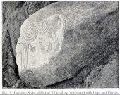
Multiple-ringed carving

A recent visit to try find this intricate carving—the only one of its kind in Clackmannanshire—proved unsuccessful, and so I add it here in the hope that someone might know where it is and bring it back to light.  It looked like quite an impressive petroglyph.  If the stone isn’t hiding in undergrowth at the edge of someone’s garden, it may well have been destroyed—which would be appalling.  As a unique design, this important carving should have been preserved.  Even when the Victorian explorers found it, the covering stone circle had been greatly damaged and many stones in the ring had been removed.  This carved stone remained intact however.  When Mr R. Robertson (1895) and his friend visited the site, it was covered in sand and dirt and had fallen to the side of an internal cist:

“On clearing this away a remarkable feature was brought to light.  The block was found to be elaborately ornamented on its sides and upper surface, with rings, spirals and lines.  The labour of cutting these in the hard granite with primitive tools of the period must have been very great. Several successful photos of the stone and its carvings were taken by Provost Westwood, Dollar…. This stone has now been removed to the vicinity of Tillicoultry for safety.”

In the same article, George Black told slightly more of the design:

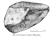
“The covering stone of the cist…bears on the face a series of concentric circles, and spirals springing from one of the groups of circles,  Four grooves also unite the same set of circles with the left-hand edge of the stone.  On the edge shown in the photograph there is another group, consisting of two concentric circles.  The unevenness of the surface of the stone appears to have been of no moment to the sculptor of the circles, as the incisions follow the surface into its sinuosities and depressions.”

Not long after Robertson & Black’s visit, the great megalithomaniac Fred Coles (1899) came here—and he found that the “spirals” that Mr Black described were nothing of the sort.

“The huge irregularly-shaped diorite boulder which covered the cist has several cup-and-ring marks on one face and one side…. These marks are now, so I was informed when inspecting them, very much less distinct than they were when the photograph was taken (above) in 1894.  It would be difficult now to describe the incised markings with accuracy; it is difficult even to see them when wet.  But…I must take exception to the term ‘spirals’ as applied to any of these ‘rings.’  There are three groups of rings so placed as to make the outermost ring in each group touch that of the others (not an uncommon form), but there is no one true volute.

“…What is more noteworthy is the group of four long parallel, nearly perpendicular grooves issuing (probably) from the outermost ring of the group of five rings, and ending at the edge of the boulder.”

Alison Young’s 1937 sketch

Cole also noted that the carvings were to be found on the upper surface of the stone.  It would seem very probable that the excessive erosion which Cole described was due to the fact that the stone was, many centuries earlier, exposed to the elements within the stone circle and not buried as it later came to be.  It makes sense.

The excessive erosion was spoken of by the Royal Commission (1933) lads, aswell as the last person to describe the site, Ronald W.B. Morris (1981), who said that during his visits here between 1966-75,

“the author has only found traces of possible cups visible on the rough surface, which has flaked badly.”

Morris (1981) said that the stone measured “1½m by 1¾m by ½m (5½ft x 4½ft x 2ft)”—and was last known to be some 10 yards NW of the Tillicoultry House cottage, but we could locate no trace of the stone or its carving.  If anyone is aware of the whereabouts or fate of this important neolithic carving, please let us know.

References:

  1. Coles, Fred R., (1899b) ‘Notices of the discovery of a cist and urns at Juniper Green, and of a cist at the Cunninghar, Tillicoultry, and of some undescribed cup- marked stones’in Proceedings of the Society Antiquaries, Scotland, volume 33, 1899.
  2. MacWhite, Eoin, “A New View on Irish Bronze Age Rock-Scribings,” in Journal Royal Society Antiquaries, Ireland, 76:2, 1946.
  3. Morris, Ronald W.B., ‘The cup-and-ring marks and similar sculptures of Scotland: a survey of the southern Counties, part II’in Proceedings of the Society Antiquaries, Scotland, volume 100, 1969.
  4. Morris, Ronald W.B., “The Cup-and-Ring and Similar Early Sculptures of Scotland; Part 2 – The Rest of Scotland except Kintyre,” in Transactions of the Ancient Monuments Society, volume 16, 1969.
  5. Morris, Ronald W.B., The Prehistoric Rock Art of Southern Scotland, BAR: Oxford 1981.
  6. Robertson, R., Black, G.F. & Struthers, J., ‘Notice of the discovery of a stone cist and urns at the Cuninghar, Tillicoultryin Proceedings of the Society Antiquaries, Scotland, volume 29, 1895.
  7. Royal Commission on the Ancient & Historical Monuments of Scotland, Fife, Kinross and Clackmannan, HMSO: Edinburgh 1933.
  8. Young, Alison, “Cup-and-Ring Markings on Craig Ruenshin, with some Comparative Notes,” in Proceedings of the Society Antiquaries, Scotland, volume 72, 1937.

© Paul BennettThe Northern Antiquarian


Kilry, Glen Isla, Angus

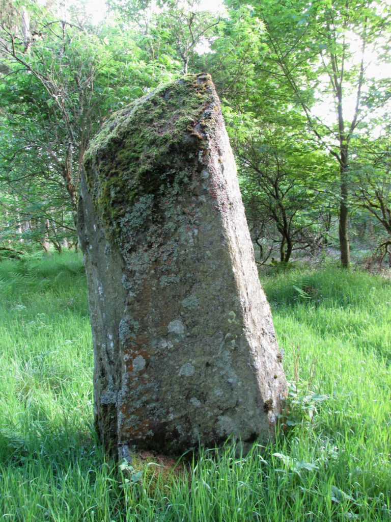
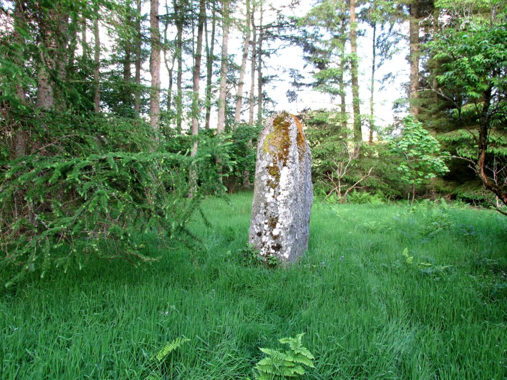
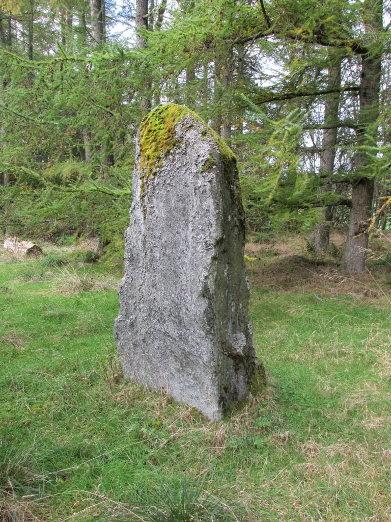
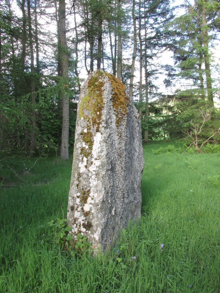
Standing Stone: OS Reference – NO 2432 5449

Also Known as:

  1. Canmore ID 31093

Getting Here

Take the B954 north from Alyth, and turn left onto the unclassified road at Craigisla House, turning right at Dykehead, then take the right fork at Faulds. Park up by the school about ¼ mile further on, and the stone is in a wooded glade on the opposite side of the road along a track to the left of ‘Standing Stone’ cottage.

Archaeology and History

Quoted in the Canmore database, A.J. Warden, writing in 1882, described the stone:

The standing stone on Broomhall estate is a large amorphous whinstone, standing in a small field near the confluence of the Kilry Burn and the River Isla.  It is c.7′ high and c. 10′ in circumference at the base. Tradition states that it commemorates a battle fought between the laird of Kilry and the Durwards of Peel.’

On the OS map the stone is aligned with the Pitmudie Stones and the Knowehead of Auldallan Stones to the north east.

References:

  1. Warden, A.J.,  Angus or Forfarshire: The Land and People, Descriptive and Historical – volume 3, Dundee 1880-5.

© Paul Hornby, The Northern Antiquarian


Lochay Woods, Killin, Perthshire

Cup-and-Ring Stone:  OS Grid Reference – NN 54125 35388

Also Known as:

  1. Canmore ID 274203

Getting Here

The stone in question

Going out of Killin towards Kenmore on the A827 road, immediately past the Bridge of Lochay Hotel, turn left.  Go down here for just over 2 miles and park-up where a small track turns up to the right, close to the riverside and opposite a flat green piece of land—right by The Green cup-marked rock-face.  Walk up the small bendy track for about ⅔-mile (1km) and eventually, high above the tree-line, the road splits.  Right here, go through the gate and walk downhill, over the boggy land, cross the burn, then the overgrown wall, and a second overgrown wall.  Very close hereby is a small rise in the land amidst the mass of bracken, upon which is the stone in question!

Archaeology & History

Close-up of some cups

This large long, undulating, quartz-rich stretch of rock has two main petroglyphic sections to it, with curious visual sections of natural geological forms accompanying the cup-markings, found either side of the stone on its north and south sides.  Its northern face has at least 20 cup-marks, of differing sizes, measuring between one and two inches across and up to half-an-inch deep.  Their visual nature is markedly different to those on the more southern side of the stone, where they are generally smaller and much more shallow, perhaps meaning they were carved much earlier than their northern counterparts. One of the cups on this section has a very faint incomplete ring around it.

Running near the middle of the rock is a large long line of quartz and a deep cleft in which I found a curious worked piece of quartz shaped like a large spear-head, and another that looks like it’s been deliberately smoothed all round the edges.  Both these pieces fit nicely in my hand.  All around the edges of the stone, many tiny pieces of quartz were scattered, as if they had been struck onto the stone—either to try carving the cups (damn problematic!), or for some visual/magickal reason.

© Paul Bennett, The Northern Antiquarian
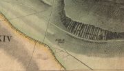
St. Leonard’s Well, Bonnington, Edinburgh, Midlothian

Holy Well (lost):  OS Grid Reference – NT 257 756

Archaeology & History

This long lost holy well used to be found somewhere on the south-side of the Water of Leith, close to Powderhall, between Warriston and Broughton.  References to it are minimal.  Whilst Ruth & Frank Morris’ (1981) thought it might have been an alternative name of the Bonnington Mineral Spring—aka St. Cuthbert’s Well—a half-mile to the north-east, we know from John Russel’s (1933) article that it was a quite separate site; but all he could tell us was that St. Leonard’s Well was “a now forgotten mineral well”.  The clearest indicator telling of its whereabouts is in John Geddie’s (1896) lovely work on the history of the Leith watercourse, where he described this “forgotten mineral spring” as being below Powderhall “beside the Water”, i.e., the river Leith. A few miles south, a crag at Arthur’s Seat was once dedicated to St. Leonard. (the grid-reference to this site is an approximation).

References:

  1. Bennett, Paul, Ancient and Holy Wells of Edinburgh, TNA 2017.
  2. Geddie. John, The Water of Leith, W.H. White: Edinburgh 1896.
  3. Morris, Ruth & Frank, Scottish Healing Wells, Alethea: Sandy 1982.
  4. Russel, John, “Bonnington: Its Lands and Mansions”, in Book of the Old Edinburgh Club, volume 19, 1933.

© Paul Bennett, The Northern Antiquarian 
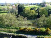
Westport Well, Old Town, Edinburgh, Midlothian

Healing Well (destroyed):  OS Grid Reference – NT 2511 7322

Archaeology & History

Like many others in the city centre, this old well has long since passed into history.  Said by Stuart Harris (1996) to have been “about twenty-five yards east of the eastern corner of Lady Lawson Street”, the Victorian writer Alison Dunlop (1890) told it to be by “a narrow close and an outside stair gave (which) entrance to the Court-house.”  It was the focus of much social activity in ages past; and although a number of public wells could be found in this part of the city, south of the Castle, the Westport Well was the most renowned.  Miss Dunlop told that,

“…its waters (were) of excellent repute (and) had to satisfy the necessities of all the inhabitants of the district.  The early morning never failed to see a long line of water-stoups stretching from it in either direction like the queue at a French theatre door.  Not so quiet, however, for tongues, mostly feminine, wagged freely, and the ‘Waal’ news and gossip were then the equivalent for a racy morning newspaper.”

According to her account, the patience of the people collecting the water was exemplary:

“All crowding-in was fiercely resented; gentle and simple had to stand their turn; only the water-caddies had the abiding right of precedence, and satisfied their customers at the moderate rate of two stoupful for a penny. We have already mentioned these ancient aquarian vessels peculiar to Scotland. In the event of a marriage taking place—in which case the bride was responsible for an amount of house plenishing not considered incumbent or even fashionable now-a-days—the ‘stoups’ were invariably purchased by the intending husband.  Indeed, the Weetin’ o’ the Stoups was the synonym for the last bachelor supper prior to matrimony.  Such festivities are understood to be hilarious, happy, hopeful; and the weetin’ o’ the stoups in Old Portsburgh, as in Old Edinburgh, was sometimes very wet indeed.”

References:

  1. Bennett, Paul, Ancient and Holy Wells of Edinburgh, TNA 2017.
  2. Dunlop, Alison Hay, Anent Old Edinburgh and some of the Worthies Who Walked its Streets, Somerville: Edinburgh 1890.
  3. Harris, Stuart, The Place-Names of Edinburgh: Their Origins and History, Gordon Wright: Edinburgh 1996.

© Paul Bennett, The Northern Antiquarian