Duncroisk 2, Glen Lochay, Killin, Perthshire

Cup-and-Ring Stone:  OS Grid Reference – NN 53134 35850

Also Known as:

  1. Canmore ID 24169
  2. Duncroisk 3 (Canmore)

Getting Here

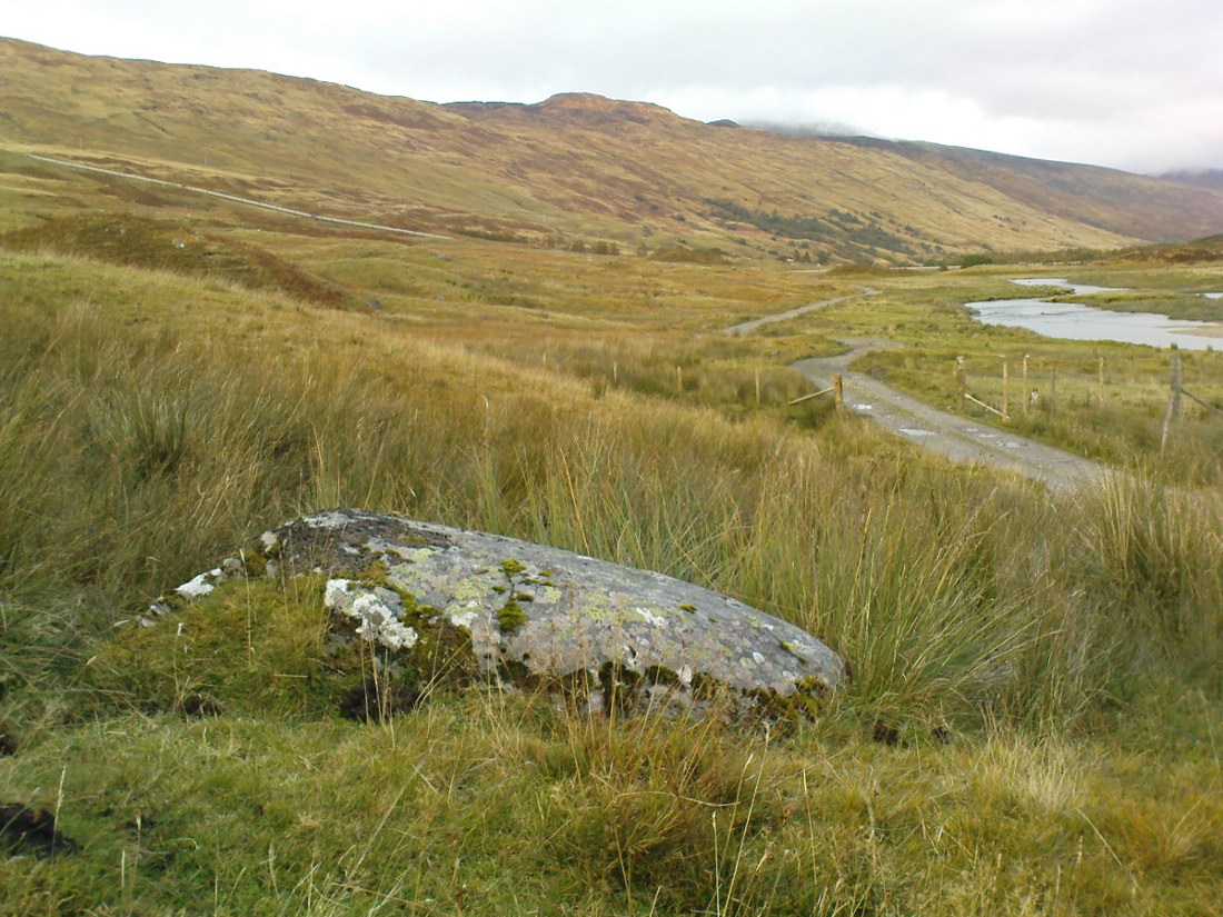
Cup-and-rings by the River Lochay

Troublesome to get to unless you’re reasonably fit.  Probably the easiest route is to get to the Duncroisk 3 cup-and-ring stone. Keep walking along the riverside, climb over the first tall wooden fence and onwards till you reach the rocky crag reaching into the river Lochay. By whichever means possible, get yourself up and round this crag, but keep by the riverside till you get to the easier walkable rocky outcrop protruding into the river on the other side of the drop.  Hereby, on one of the stones, look and you’ll find these faint cup-and-ring symbols.

Archaeology & History

Although this carving was first described in Edward Cormack’s (1952) essay on the prehistoric carvings of the district, they have subsequently proved difficult to locate by the Royal Commission lads and other archaeologists.  I’ve been here a few times looking for it and never managed to find it — until last week.  When Mr Cormack first told of the design, he said:

“On a smooth rock surface just above the mouth of the small burn running into the Lochay, immediately west of the cup-marked ridge, are two cup-and-ring markings a yard apart. The rings are curiously rough edged, and do not give the same impression of weathering as those on the ridge; possibly they have been silted over shortly after being cut, and exposed again relatively recently.”
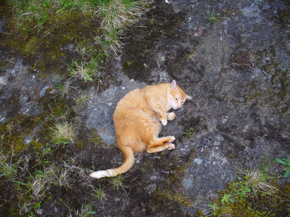
Flambeau the Cat uses the carving as his bed!

A few decades later, Ron Morris (1981) came across the carving, 10 yards “southeast of an elbow of River Lochay”, as he put it. Described as “hard to find”, he went on to give a basic outline of the design as he saw them, telling there to be “2 cups-and-one-ring, both probably complete, up to 16cm (6in) diameters, with radial grooves from cup to ring—up to 1cm deep.” Or more simply, two cup-and-rings, each with a line running from the centre to the surrounding ring.

After trying to find this carving on several occasions, without success (somehow!), it was brought to my attention under the brilliant guidance of a local cat called Flambeau only last week (no lies!).  In a venture down to the riverside, the great cat (in tandem with Pip the dog, who also ventures out with me to find ancient sites in this region) got to the riverside on the rock in question and began rolling about in the dust on the stone, mewing and purring away merrily!  It was really brilliant to watch. Sincerely heart-warming (soz…but I can’t help it!).
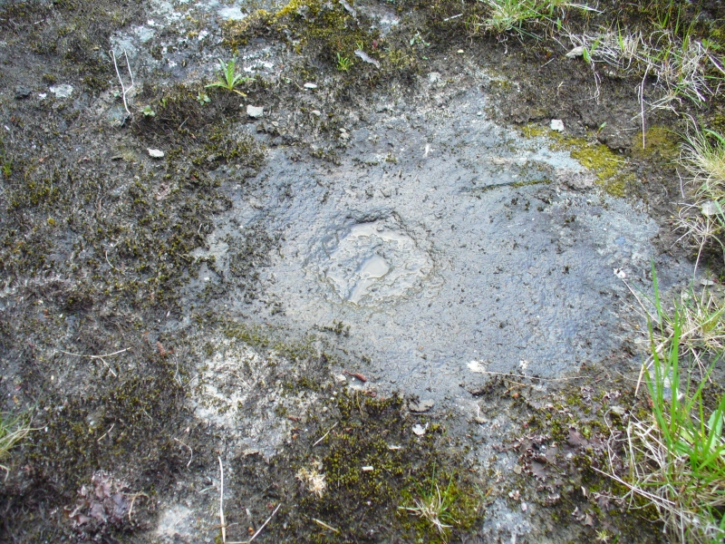
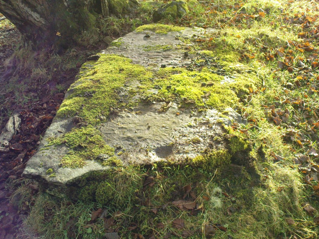
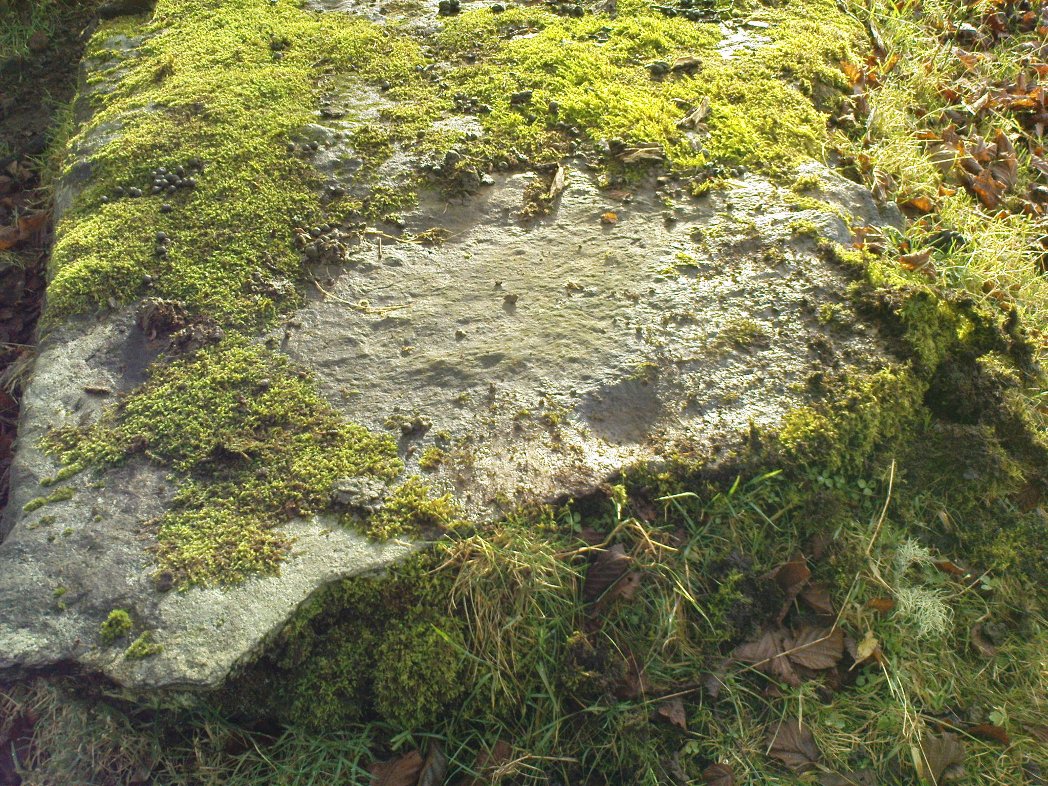
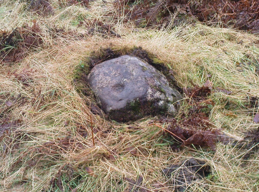
Primary cup-and-ring at Duncroisk-2

I stepped over and complimented him as he looked superb (hence the photo, above) and he just kept purring. Then, curiously, he stood up and began scratching at the dried earth on the rock, mewing away whilst doing this.  Twas very odd indeed.  But there,  exactly where Flambeau has been scratching and rolling about, it seemed a faint cup-mark was apparent.  And such it was!  So I got on my knees and began cleaning away the dirt from the rock — and there, right where he’d been purring and playing, was the lost cup-and-ring carving!

Its location would suggest that the carving had some relationship with water: be that the spirit of the place; a good site where fish can be had; a place where someone had drowned, etc.  We’ll probably never know… But it’s a beautiful spot, with the impressive Stag Cottage carvings in the adjoining field, and the newly discovered Corrycharmaig East carvings on the other side of the river — plus many others in the area.

Folklore

The River Lochay where this carving is found is named after a dedication to the Black Goddess, according to Prof. W.J. Watson. (1926)  The stream by the side of the carving which runs into the River Lochay has been the place where faerie music has been heard by local people in times past.

References:

  1. Cormack, E.A., “Cross-Markings and Cup-Markings at Duncroisk, Glen Lochay,” in Proceedings of the Society of Antiquaries, Scotland, volume 84, 1952.
  2. Morris, Ronald W.B., The Prehistoric Rock Art of Southern Scotland, BAR: Oxford 1981.
  3. Royal Commission on the Ancient & Historical Monuments of Scotland, Archaeological Sites and Monuments of Stirling District, Central Region, Society of Antiquaries of Scotland 1979.
  4. Watson, W.J., The History of the Celtic Place-names of Scotland, Edinburgh 1926.

© Paul BennettThe Northern Antiquarian


Tir Artair, Killin, Perthshire

Standing Stone:  OS Grid Reference – NN 58870 34720

Also Known as:

  1. Canmore ID 24205

Getting Here

Standing stone of Tir Artair
The standing stone of Tir Artair

This lovely standing stone can be a pain-in-the arse to get to!  Unless you wanna clamber over the excess of increasingly stupid deer fences that are appearing all over the place (old locals aint happy), follow the directions to the Tir Artair cup-marking, then walk across to the fencing and follow it all the way down into the fields until you reach the stream on your right, running in front of the fenced woodland. There’s a large gate here into the trees. Go thru it. In front of you is some overgrown walling into the trees: follow this along, slowly, keeping your eyes peeled for the upright stone about 100 yards in.  Good luck!

Archaeology & History

The old mossy stone
The old mossy stone

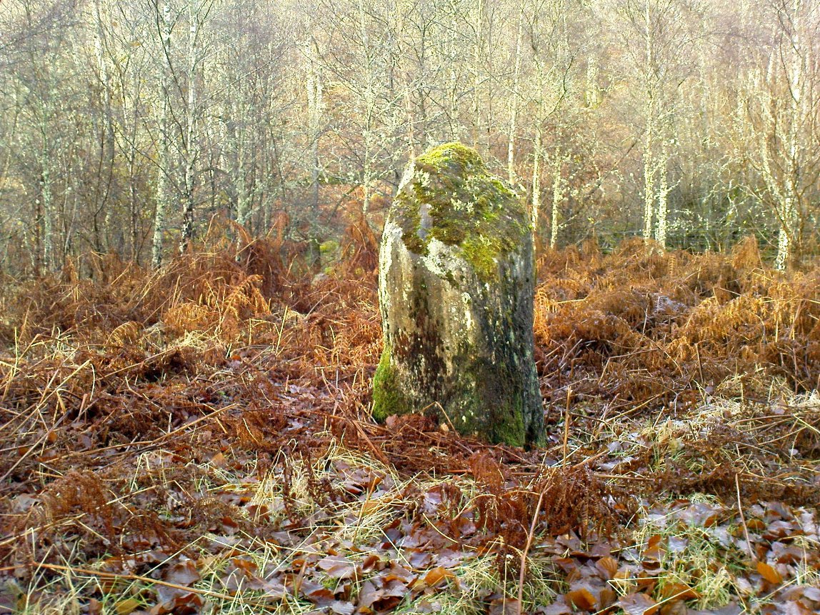
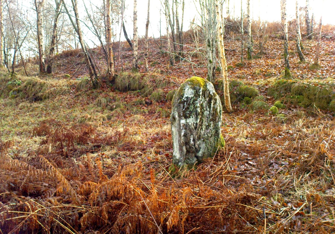
In this “land of Arthur”—as the place-name means—we find this beautiful moss and lichen-encrusted standing stone, living alone in remains of mainly birch woodland.  It stands less than 5 feet tall, just in front of some old walling encircling one of the many rounded knolls in this area.  The stone may have had some megalithic partners in bygone days, as we find, about 25 yards away sleeping amidst overgrown vegetation beside an old oak, a couple of other old stones laid on the ground that seem to have been placed here by human hands.  Their antiquarian nature is unknown.

References:

  1. Gillies, William A., In Famed Breadalbane, Munro Press: Perth 1938.

© Paul Bennett, The Northern Antiquarian


Tir Artair (01), Killin, Perthshire

Cup-Marked Stone:  OS Grid Reference – NN 59063 34807

Also Known as:

  1. Canmore ID 289905

Getting Here

Single cup-marked stone

Take the A827 road out of Killin to Fearnan and Kenmore.  A mile or so out, go past the entrance to the Finlarig Power Station for another 2-300 yards, keeping your eyes peeled for the small track on your right.  Go down here.   100 yards down the track bends, then another 50 yards it bends again. Just here there’s a small clump of trees, right by the bend.  You’re looking for the large flat rock therein!

Archaeology & History

Tir ArtairCR1b sm
Close-up of the cup-marking

Although listed by the lads at Canmore, I can find no previous literary reference to this stone — which is a simple thing to be honest: probably of little value to anyone who aint a petroglyph fanatic!  The large flat rock has a single large cup-marking on its northern edge, 3 inches across and nearly an inch deep.  If you’re gonna visit here, you may as well check out the standing stone further down, in the trees on your right.

© Paul Bennett, The Northern Antiquarian


Corrycharmaig East (4), Glen Lochay, Perthshire

Cup-Marked Stone:  OS Grid Reference – NN 5311 3582  —  NEW FIND

Getting Here

Cup-markings to top & bottom of stone

Follow the same directions as if you’re going to the Corrycharmaig East 3 carving.  Walk off the rocky outcrop here, below the tree, and head diagonally across the boggy grasses back towards the River Lochay.  After about 50 yards you’ll see a rocky promontory ahead of you that overlooks the very edge of the river, with trees around it.  That’s the spot – right on the edge above the river!

Archaeology & History

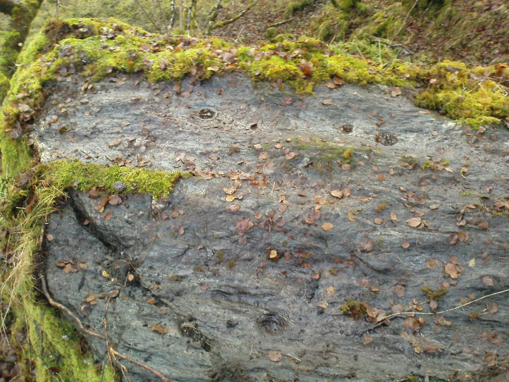
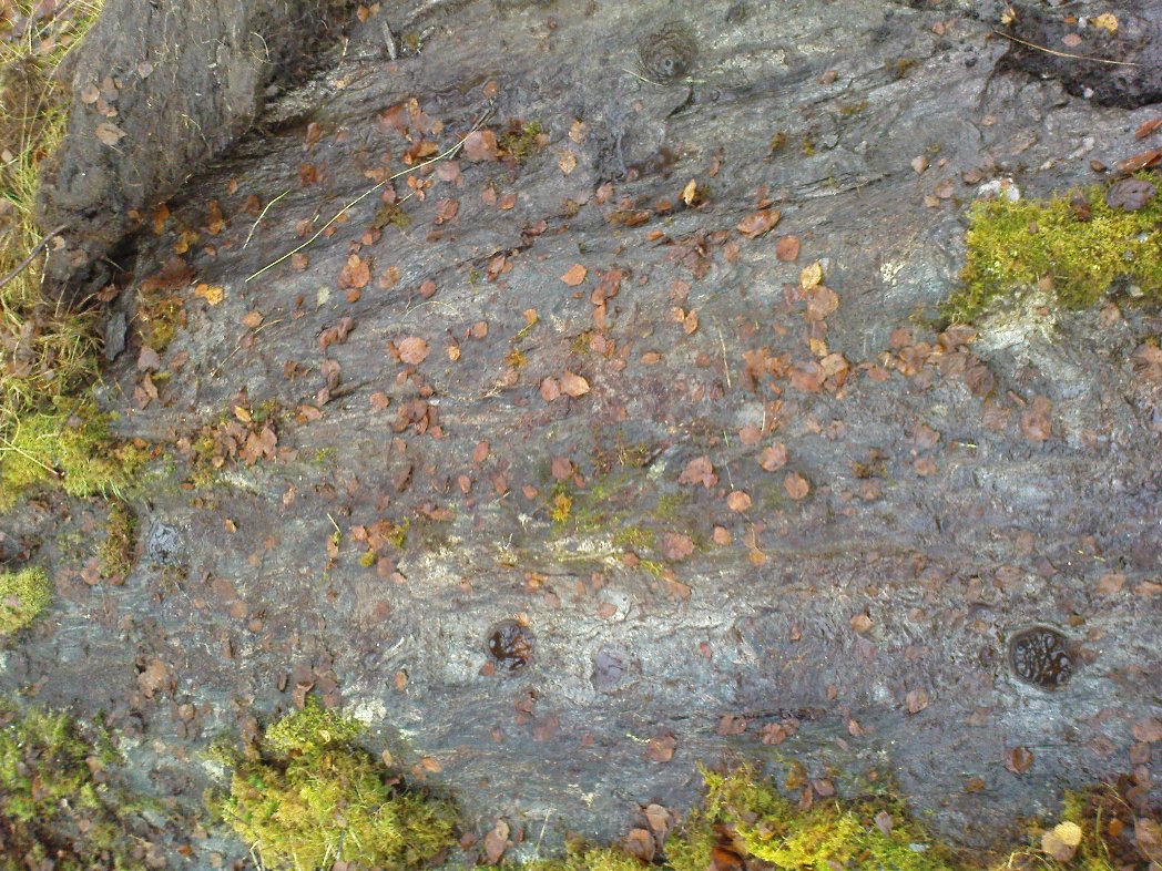
Cup-markings on the Corrycharmaig East 4 stone

For me, this was the most intriguing of the newly-found Corrycharmaig East carvings.  Intriguing because this is on the same geological ridge as that on which the brilliant Stag Cottage carvings are found, right across on the other side of the river.  That singular rise of rock emerging from the field, heading to the river, continues on this side — though is much less conspicuous here, and is much smaller and covered with olde trees and Nature’s marshy greenery.  It was this fact which led me to look at these rocks in the first place…wondering if our neolithic ancestors had continued etching their mythographies on the other side of the living waters.  And so it turned out.

But don’t expect anything like as impressive as the Stag Cottage carvings.  Here instead, as the photos show, are just five distinct cup-markings: three running along one line near the SE side of the stone, with another two on its NW side.  The cups are all roughly the same size, being a couple of inches across; one is an inch deep.  There may be more beneath the excess of mosses along this and the adjacent rocks, but I didn’t look.

© Paul Bennett, The Northern Antiquarian


Corrycharmaig East (2), Glen Lochay, Perthshire

Cup-&-Ring Stone:  OS Grid Reference – NN 5294 3588

Getting Here

Faint cup-and-ring of Corrycharmaig East 2

Follow the directions as if you’re visiting the other Corrycharmaig carvings, but as you cross the bridge over the River Lochay, turn immediately left and follow the edge of the river down the field till you reach the fence.  Go over here, but then head up the slope away from the river, over another fence up the small grassy hill ahead of you.  As you near the very top of the hill, you’ll find the stone in question.

Archaeology & History

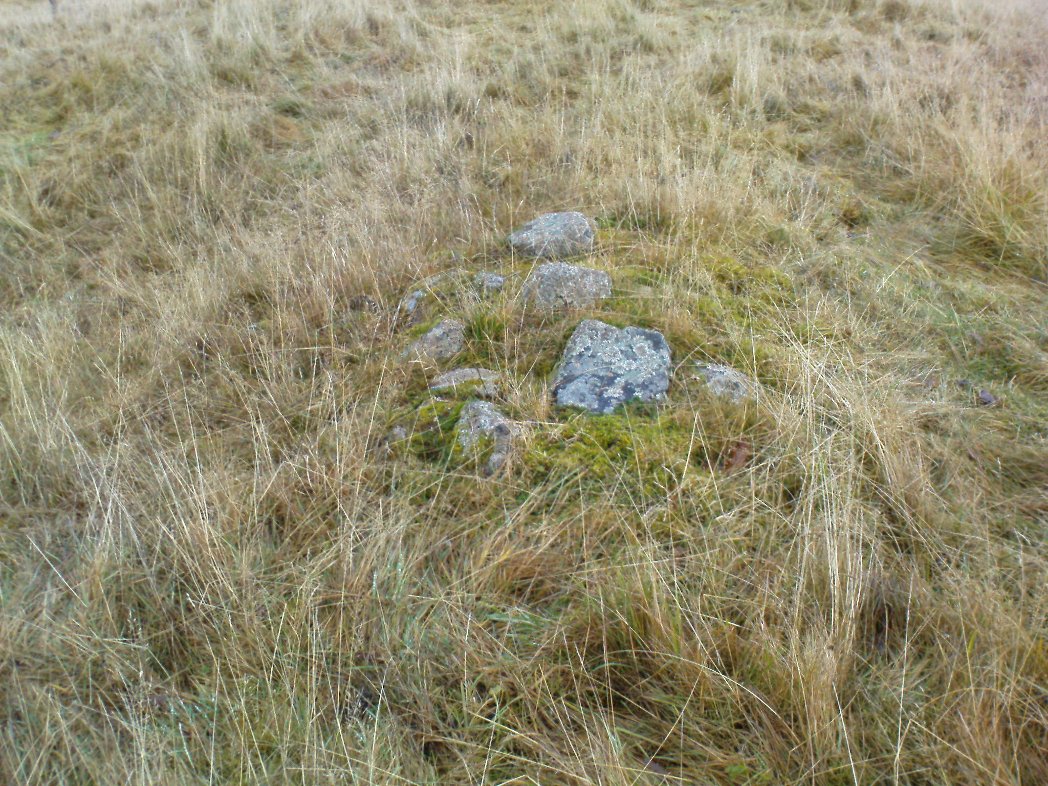
Small overgrown cairn 10 yards away

Found near to the famous Stag Cottage and Duncroisk carvings, this previously unknown example is found on a small rounded female stone, barely 2 feet by 2 feet across.  The most notable feature is the large cup-marking, 2-3 inches wide and half-and-inch deep.  When I first found the stone, twas a cloudy grey day and I wasn’t sure whether a small carved arc along one edge of the cup continued into a semi-circle — but as the photo here shows, the cup-mark seems to have a large faint ring going about three-quarters of the way round it.  Hopefully I’ll get some better images of the stone when I visit again in the coming weeks.

The stone gave the impression that it belonged in a cairn of sorts, but a brief rummage in the grasses immediately around the rock showed nothing.  However, barely 10 yards down the grassy slope there was a small overgrown cairn — though it didn’t seem to have that prehistoric pedigree about it.  This carving is one in a group of at least four others—including Corrycharmaig East 3—not previously catalogued.  It’s likely that more remain undiscovered on the many other rocks nearby.

© Paul Bennett, The Northern Antiquarian


Corrycharmaig East 03, Glen Lochay, Perthshire

Cup-Marked Stone:  OS Grid Reference – NN 53056 35877 — NEW FIND

Getting Here

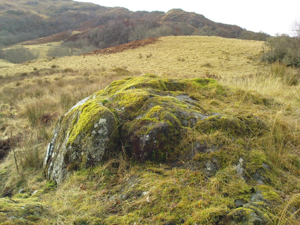
Cup-marked rocks of E.Corrycharmaig 3 (with the green hill of CE02 behind)

Follow the directions from Killin, down Glen Lochay, as if you’re going to the other Corrycharmaig carvings; but as you cross the bridge over the River Lochay, turn immediately left and follow the edge of the river along the field, crossing the first fence, keeping close to the riverside and over and over another fence.  Head across the boggy grassland and you’ll see a small green outcrop of rocks just above the tree-line above the river.  That’s the spot!

Archaeology & History

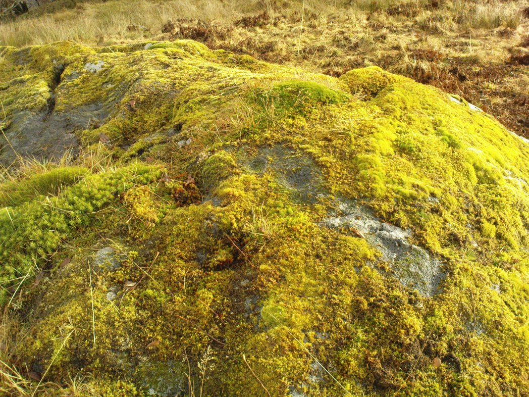
Two of at least 6 cup-markings on these mossy rocks

Another carving that’s a short distance from the famous Stag Cottage carvings on the opposite side of the river.  This lovely moss-covered rocky mass has two sections of cup-markings on it – both of which have proved difficult to photograph because of the vivid green primal cover.  It’s found less than 100 yards from the CE04 carving and below the hillock of the CE02 cup-and-ring (as you can see in the photo above).

The rock itself has two carved sections: an upper and lower section, with at least three cup-markings on the lower section and three on the upper portion as well.  Some natural geological marks on the lower part of the rock may have been added to, but this is by no means clear.  There may well be other elements to this ancient carving, but I wasn’t about to strip all the lovely moss from the stone just to find out.  It’s a truly beautiful stone in a gorgeous setting and, despite the day being grey and overcast, I wasn’t about to defile the greenery here.  It’s one of a group of at least four carvings east of Corrycharmaig that have not previously been catalogued.  Other carvings likely remain to be found close by.

© Paul Bennett, The Northern Antiquarian


Tomochrocher, Glen Lochay, Perthshire

Cup-Marked Stone:  OS Grid Reference – NN 457 359  —  NEW FIND

Getting Here

The stone in its setting

From Killin heading out along the northern Loch Tay road, turn left just past the Bridge of Lochay hotel and go right to the very end of Glen Lochay, just past Kenknock.  From here you’ve gotta keep walking along the glen’s dirt-track, and when you go through the third gate along (about a mile), another 100 yards on, keep your eyes peeled for a reasonably large boulder on the left of the track. This is your marker to go up on the right-hand side of the track, where the large stone is about 20 yards up the slope.

Archaeology & History

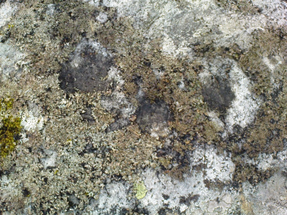
Three cup-marks & their lichen

Not far from a prehistoric hut circle relocated by archaeologist Dugald MacInnes I found this, a previously unrecorded cup-marked stone, when I was ambling about around the top of this beautiful valley last week.  It’s only a simple cup-marked stone with two very distinct cups and a probable third in the middle of the well-defined ones.  A covering of aged lichen was living on the carved rock and it seemed that there may have been other cups beneath the lichen — but I’ve got a real love of these old plants and wasn’t about to tear them from their homely stone.

There are some other little-known unrecorded human remains all along the slopes above here, which I’ll have a look at when next up this Valley of the Black Goddess…

© Paul Bennett, The Northern Antiquarian


Fingal’s Stone, Killin, Perthshire

Standing Stone:  OS Grid Reference – NN 5712 3301

Also Known as:

  1. Canmore ID 24192

Getting Here

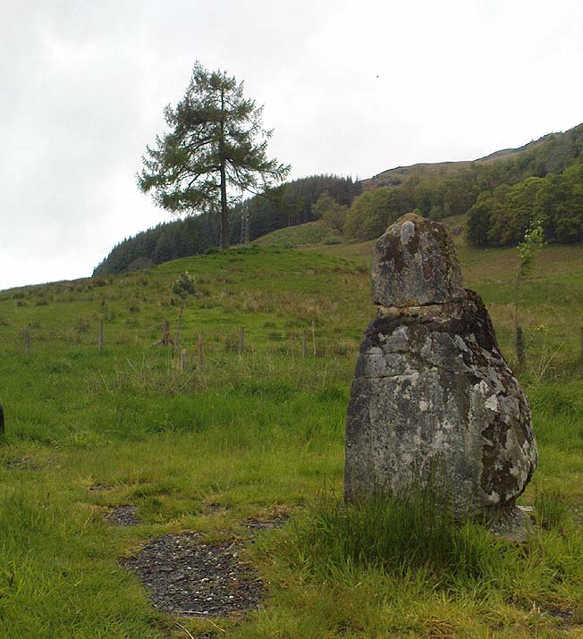
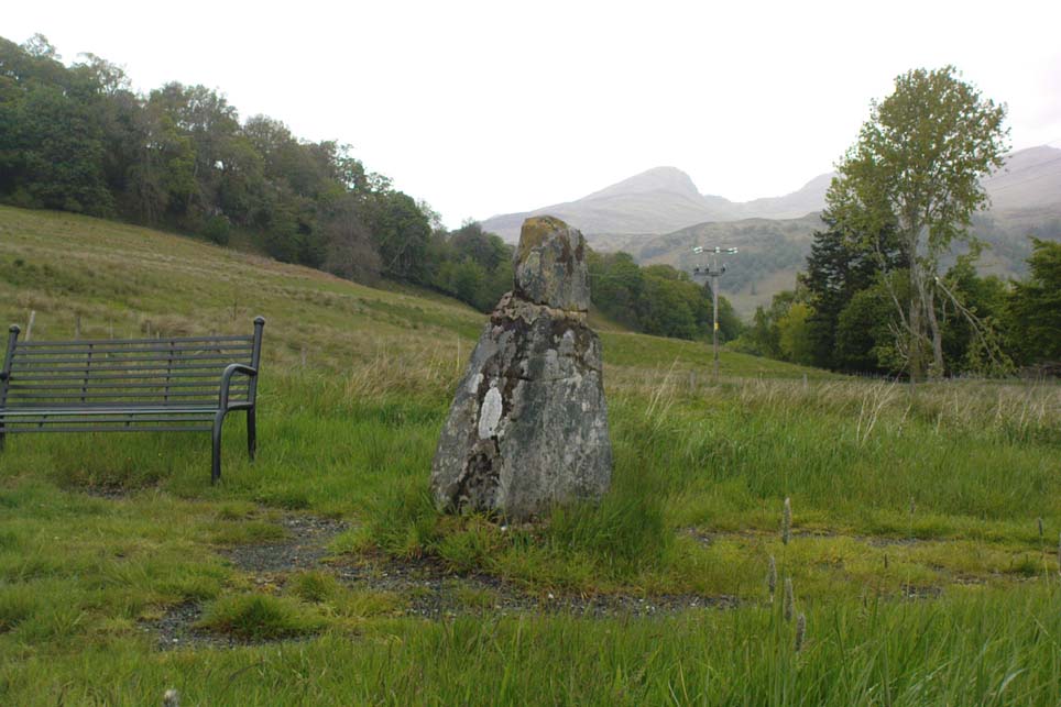
Fingal’s Stone, Killin

Less than 100 yards up the road from the Co-op in Killin, take the footpath on the same side of the road into the park at the back of the buildings. Keep following the footpath round the back of the buildings and you’ll see the stone in front of you soon enough.

Archaeology & History

Another curious site in this quite beautiful mountainous arena.  Thought to have originally stood by the rounded fairy knoll a bit further up the hill, no one knows for sure when the stone was moved to its present position—but locals will tell you how the curious knob-end atop of the stone was also a later addition to the fallen original, when it was resurrected in the latter half of the 19th century.  C.G. Cash (1912) also found the fairy mound and its companions on the slope above to be of interesting, wondering, as I have, that “they might have been burial mounds.” The local historian William Gillies (1938) said of the stone:

“Both the Old and New Statistical Accounts of the parish of Killin make reference to a site near the village that had been pointed out from time immemorial as the burial place of Fingal, the hero of Celtic folk stories. At this point, which is in the middle of a field immediately behind the schoolhouse, there is a standing stone 2 feet 8 inches high and 5 feet in girth.  The stone had fallen, but in 1889 it was re-erected by Mr Malcolm Fergusson, a patriotic native of Breadalbane.  Without any reference to the original arrangement, a smaller stone was fixed on the top, and others were placed near it. The lands in the vicinity of Fingal’s Stone used to be called Stix.  The name suggests that here, as at Stix between Kenmore and Aberfeldy, there were a number of standing stones, of which this one alone remains.”

And it certainly smells that way… Yet no further monoliths have been found hereby or on the slopes above.

Folklore

Reputed to be a stone that marks the grave of the hero-figure, Fionn.  Local historian  Duncan Fraser (1973) told that:

“Killin is steeped in history and one of its memorials of the past is a standing stone in a field behind the school, that is said to mark the spot where the mighty Fionn lies buried.  He is believed to have died about the end of the Iron Age, in 283 AD.”

Looking north, to the Cailleach

William Gillies (1938) also reported how tradition said that an early church and graveyard was once to be found at the original site of Fingal’s Stone. Legends of Finn, his magick and his encounters with faerie and men are found all over this landscape.

References:

  1. Cash, C.G., “Archaeological Gleanings from Killin,” in Proceedings of the Society of Antiquaries of Scotland, volume 46, 1911-12.
  2. Fraser, Duncan, Highland Perthshire, Standard Press: Montrose 1973.
  3. Gillies, William A., In Famed Breadalbane, Munro Press: Perth 1938.
  4. Wheater, Hilary, Killin to Glencoe, Appin Publications: Aberfeldy 1982.

© Paul Bennett, The Northern Antiquarian


Firbrush Point, Killin, Perthshire

Dun (destroyed):  OS Grid Reference – NN 603 337

Archaeology & History

Not to be confused with the ‘fort’ shown on modern OS-maps on the wooded slopes a few hundred yards to the south, the denuded remains of this site were shown on an 18th century map of the area (the Breadalbane estate plans). Probably Iron Age in nature, the local historian William Gillies (1938) described the place in his fine work,

“According to the atlas of 1769 there were ruins of an ‘Ancient Castramentation’ at Firbrush Point on the farm of Auchmore. An examination of this little peninsula revealed the foundation of a very thick wall that at one time ran across its neck, and formed a defence on the landward side. It is probable that the stones were removed for the erection of the small pier and harbour close by.”

An assessment of the site by some of the Scottish Royal Commission lads in the late 1970s found no remains of the thick walling and it seems all remains of this fort have sadly been destroyed.

References:

  1. Gillies, William A., In Famed Breadalbane, Munro Press: Perth 1938.
  2. Royal Commission on the Ancient & Historical Monuments of Scotland, Archaeological Sites and Monuments of Stirling District, Central Region, Society of Antiquaries of Scotland 1979.

© Paul Bennett, The Northern Antiquarian 


Caisteal Samhraidh, Glen Lochay, Killin, Perthshire

Standing Stone: OS Grid Reference – NN 519 380

Getting Here

Caisteal Samhraidh stone, looking west down Glen Lochay

Go halfway down Glen Lochay to Dalgirdy house by the cattle-grid, then go up the burn by its side and follow the directions to reach the small standing stone above the shielings of Allt Ghoaordaidh. From here, head east, keeping to roughly the same contour line as you walk along. About half-a-mile on, keep your eyes peeled. If you’re into ambling off-track up mountains, you’ll find it. If you’re not into such things, you could be in trouble!

Archaeology & History

Caisteal Samhraidh stone, looking east to Duncroisk

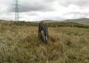
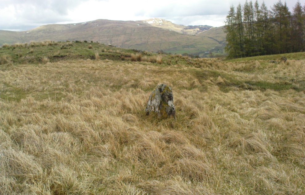
There are no previous literary references to this standing stone, leaning at an angle, halfway up the southern slope of Mheall Ghaordie. Between 3-4 feet tall, the monolith appears to have had packing stones around it, although when I stumbled across it in a lengthy amble a few weeks ago, the daytime temperature was above 100° F and I’d been out all day with no food, so my investigative faculties weren’t at their best! The stone may have been part of some ancient walling along the edge of the mountain, but if so, it wasn’t obvious. A few yards higher up the slope, a very large overgrown heap of rocks seemed evident – but again, I wasn’t sure whether this was artificial or geological. All along this mountain and up the curve of Allt Ghoaordaidh to the west are such immense clusters of ancient rocks and boulders, that the mound behind here just seemed to merge into the background of all the rest.

Looking SE down Glen Lochay

The ruined Iron Age enclosure of Tullich is less than half-a-mile south of here, and the possible prehistoric standing stones of Tirai another half-mile to the east. Prehistoric rock art scatters the glen east of here and masses of ancient walled structures run up and down hidden ridges and slopes. There is in fact scattered an excess of archaeological remains all along the edges of this long valley, indicating considerable human population in bygone centuries (before the Clearances came) reaching way back into prehistoric times. The old people of Glen Lochay would have been able to furnish us with a mass of important historical tales and myth about so many now-forgotten places, before the carnage of the agriculturalists and capitalists destroyed their way of life. This standing stone, no doubt, would have had tales said of it. Today, only the spirits of the glen are able to whisper such insights…

© Paul Bennett, The Northern Antiquarian


Breadalbane