Cup-Marked Stone: OS Grid Reference – NN 65379 38389
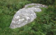
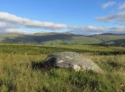
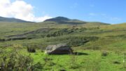
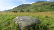
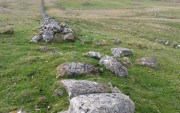
From Killin, take the A827 road to Kenmore. 6 miles along, on your right, is the track down to the Big Shed at Tombreck. Keep on the A827 for exactly ⅓-mile (0.53km), and opposite the driveway to Craggantoul is a small parking spot. Go through the gate here and walk up the little hill right in front of you until you can see an electricity pylon 200 yards away. Head for, go up the slope behind and along until you drop into a tiny little valley where a long line of very distinct old walling runs east-west. Walk back and forth along it till you see a reasonably large earthfast stone on its own.
Archaeology & History
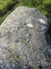
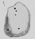
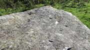
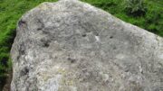
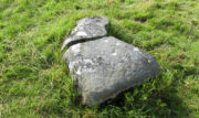
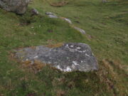
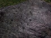
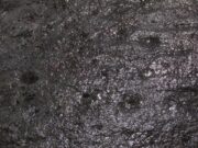
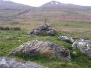
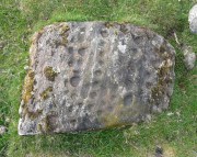
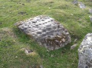
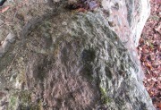
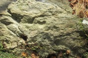
Close to a long line of what I think is pre-medieval walling—possibly Iron Age—is what can only be described as a truly crap-looking petroglyph which, to be honest, I’d walk past and give not a jot of notice if it wasn’t for the fact that it’s been recorded. When we visited here, three very worn large cup-marks were visible on its sloping west face, with what looked like two more on top of the stone—but these seemed questionable in terms of them being man-made. Apparently there’s another one on it, but in the searing heat and overhead midday sun when we visited, this couldn’t be seen.
© Paul Bennett, The Northern Antiquarian
The map could not be loaded. Please contact the site owner.
