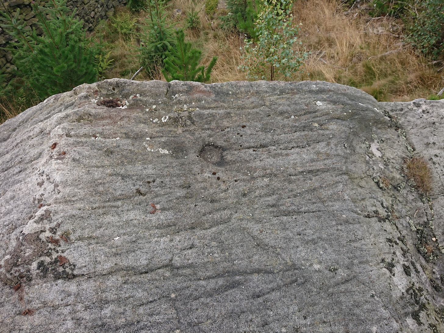
Table Rock, Rivock, Silsden, West Yorkshire

Cup-Marked Stone:  OS Grid reference – SE 07326 44696

Also Known as:

  1. Carving no.43 (Boughey & Vickerman)

Getting Here

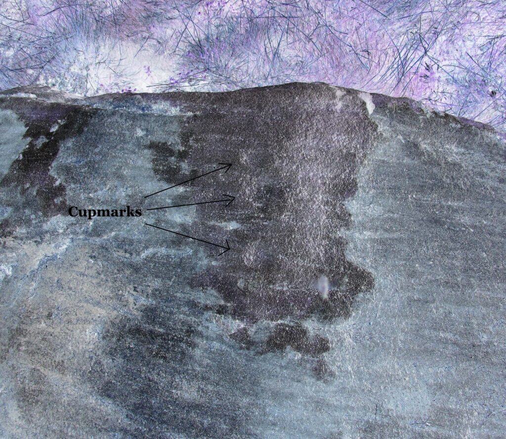
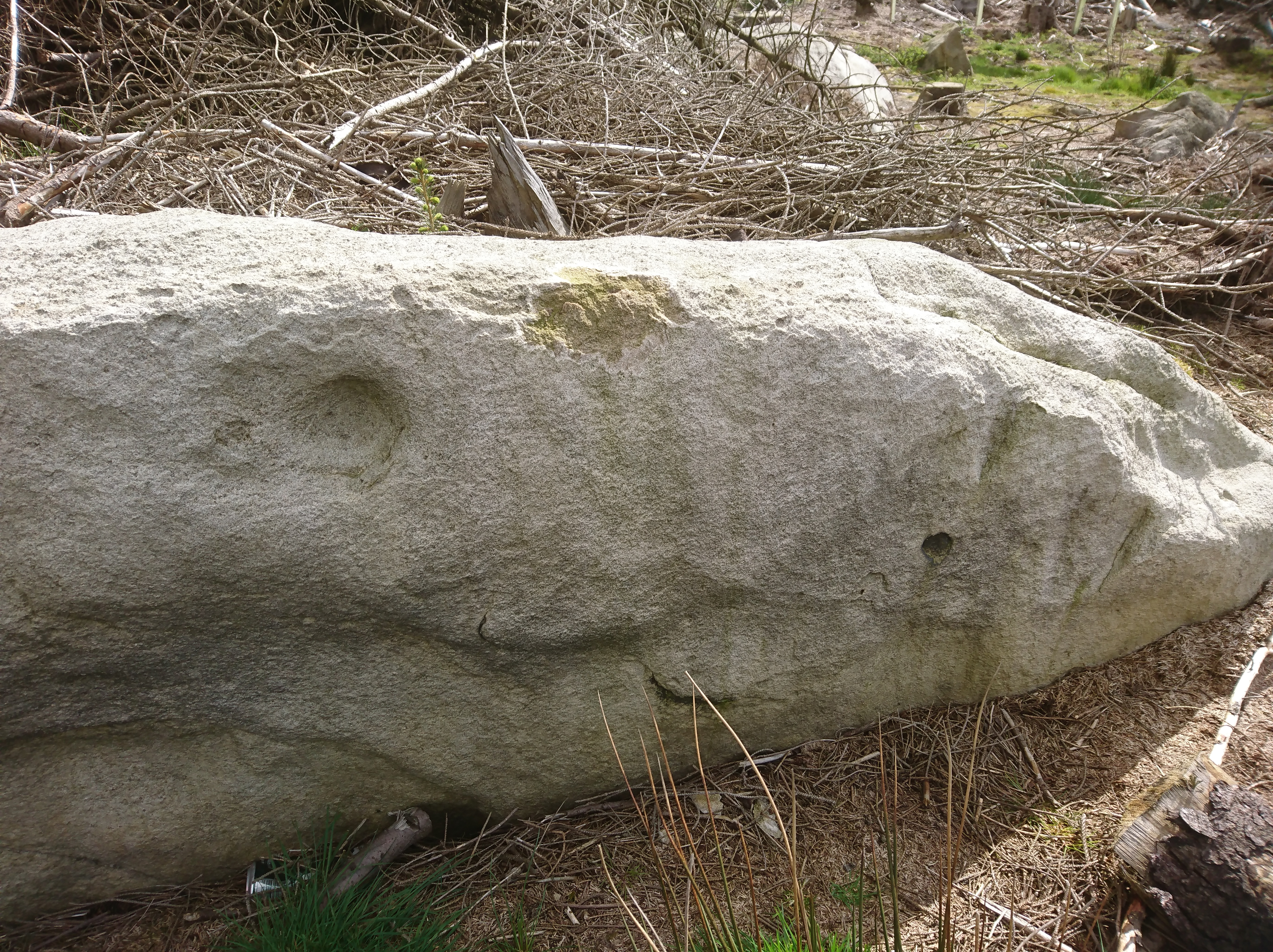
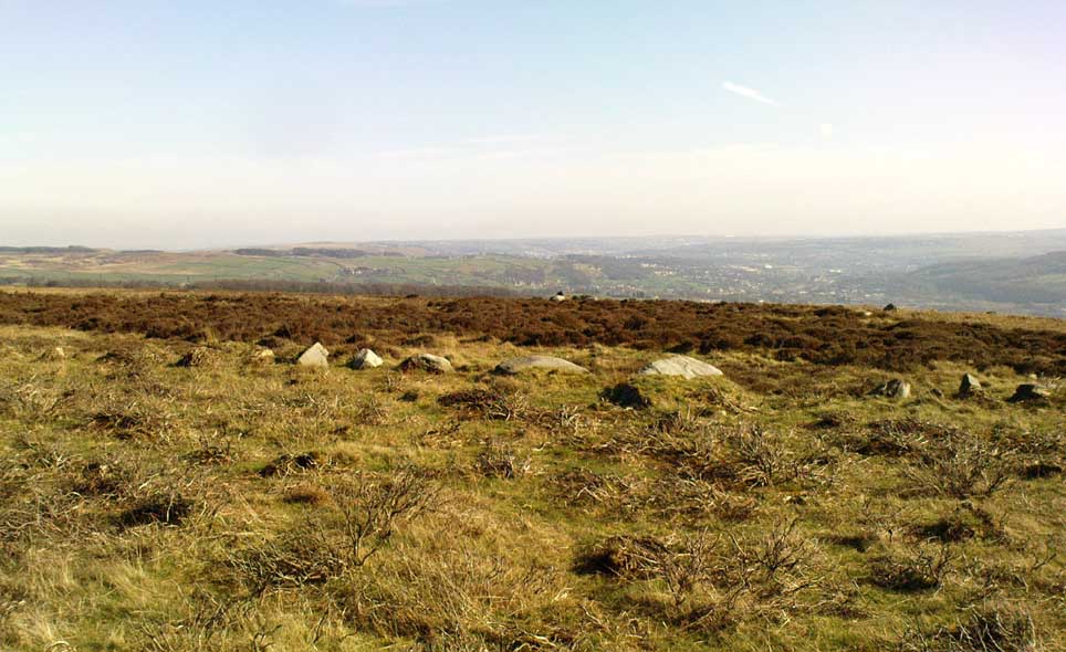
Table Rock cupmarked stone

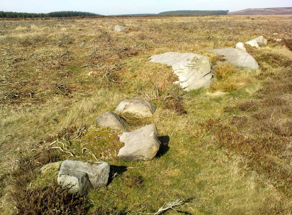
If you’re coming via the Keighley-Bingley (Airedale) road, go up to Riddlesden and then up the winding Banks Lane until it meets the edge of the moors.  At the T-junction, turn left and about 330 yards along on your right there’s a dirt-track.  Walk up here, sticking to the track (not the footpath) towards the cliffs of Rivock ahead of you, going through the gate and into the Rivock woods area.  About 450 yards on from the gate on your right-hand side you’ll see the long straight length of walling that runs uphill—and about 60 yards up here, on the left-hand side of the wall you’ll see a very large boulder.  Y’ can’t really miss it!

Archaeology & History
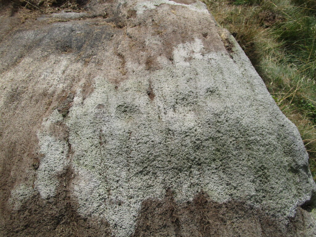
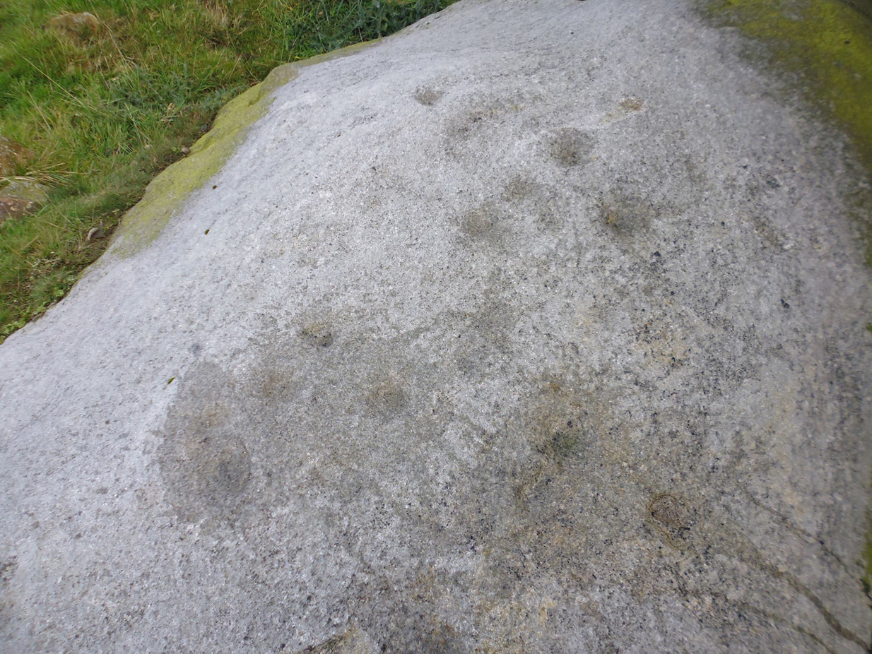
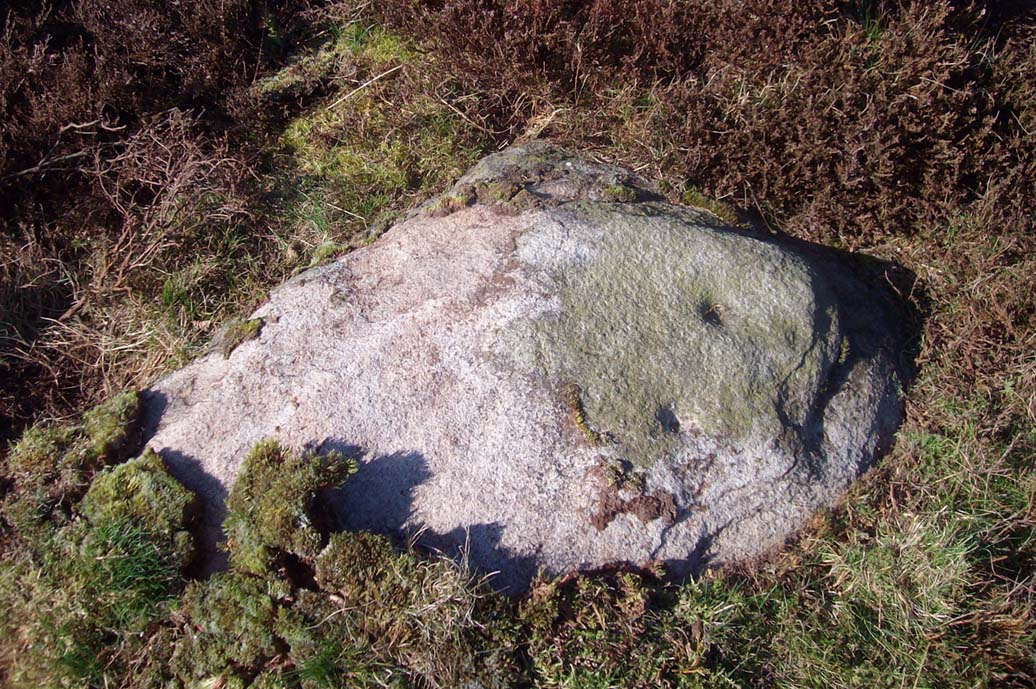
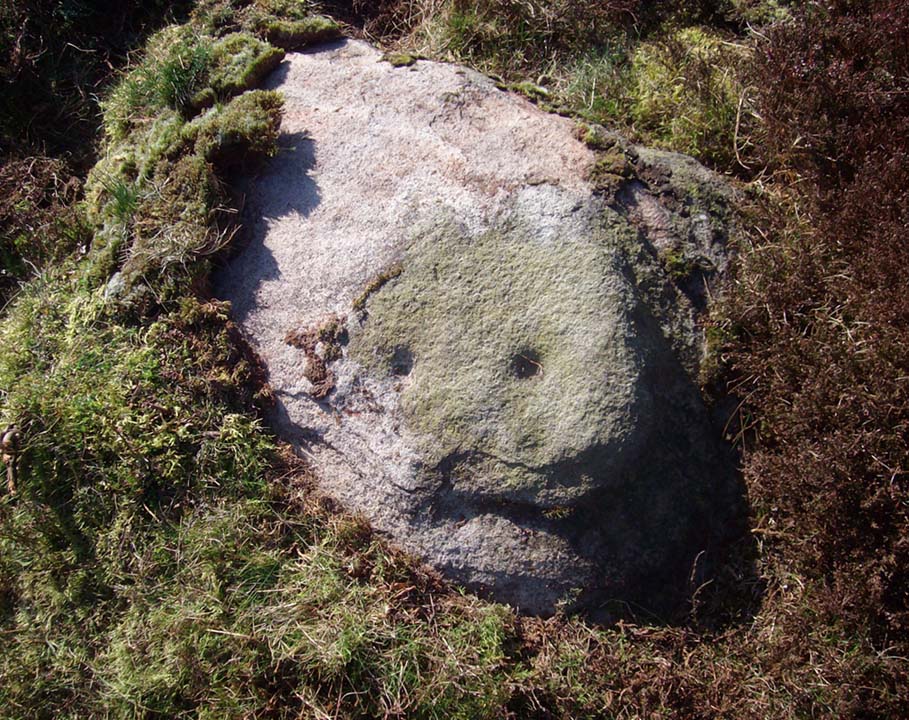
2 of the several cups here

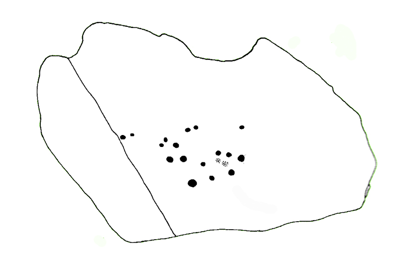
This large natural block, embedded into the hillside about 80 yards below the Wondjina Stone and its companions, is nothing much in the petroglyphic visual scale of things, but is worth checking out for a break if you’re checking out the other good designs in the Rivock cluster.  Upon its sloping flat two-tiered surface there are just a small number of randomly spaced cup-marks of varying sizes: six at least, but perhaps as many as nine altogether.  In times gone by (many years ago) we thought one of them might have had a very faint ring around it, but on my last couple of visits here I couldn’t see anything.

References:

  1. Boughey, Keith & Vickerman, E.A., Prehistoric Rock Art of the West Riding, WYAS: Wakefield 2003.
  2. Hedges, John (ed.), The Carved Rocks on Rombalds Moor, WYMCC: Wakefield 1986.

© Paul BennettThe Northern Antiquarian


Rivock Top, Silsden, West Yorkshire

Cup-Marked Stone:  OS Grid Reference – SE 0745 4470

Getting Here

Rivock Top stone

Best approached via the Wondjina Stone, then over the wall and follow the geological ridge that bends into the trees.  It’s difficult to find amidst the dense forest and is another one of those carvings that’s probably only for the purists amongst you.

Archaeology & History

If you’re doing the Rivock rock art tour, you might as well give this a go once you’ve checked ou the decent ones nearby.   Here, on a rather large stone we find, on its uppermost ridge, three faint cup-marks next to each other in a very slight curve.  The cup-mark in the middle is slightly larger than its two compatriots and might be natural.  If you were to wet the rock when the sunlight is just right, you’ll probably get a better idea of its real appearance—otherwise we’ll have to let the computer-gadget lads suss it out!

© Paul BennettThe Northern Antiquarian

Lund Well, Bingley, West Yorkshire

Sacred Well (destroyed):  OS Grid Reference – SE 0973 4091

Archaeology & History

Lund Well on 1852 map

Lund Well on 1852 map

Once found in a cluster of three little wells all very close to each other near the top of the field where the Crossflatts roundabout joins up with the Aire-Valley trunk road, this is an intriguing site if you happen to be a pagan, or have an interest in druidism — and for one main reason: its name.  When I first came across a reference to the place about 25 years ago, the only piece of information I could find about it came from the arduous detailed researches of the Victorian industrial historian J. Horsfall Turner who, unfortunately, neglected to record much of the fading folklore in the region at his time.  Marked on the 1852 6-inch Ordnance Survey map, ‘Lund’ was a bit of an etymological curiosity, and Mr Turner (1897) thought the well’s name was little other than that of a local mill owner, whose nickname was ‘Lund’ Thompson.  He was guessing of course…and I thought little more about it…

Years later when looking through A.H. Smith’s (1961-63) magnum opus on the place-names of West Yorkshire, I found that he didn’t include the Lund Well in his survey.  However, an eventual perusal of Kenneth Cameron’s (1996) work told that in Old Norse place-names (and there is a preponderance of such places scattering Yorkshire and Lancashire), lund or lundr was a “‘small wood, grove,’ also had a meaning, ‘sacred grove’.” The word is echoed in old French, launde, meaning ‘forest glade’.  In A.H. Smith’s (1954) earlier etymological magnum opus he said that the word derives from a “small wood, grove, also a sacred grove, one offering sanctuary.”  However, Margaret Gelling (2000) urged caution on the origin of lund as a sacred grove and erred more to the usual English tendency of depersonalizing everything, taking any animistic attribution away from its root meaning; but we must urge caution upon her caution here!  Neither Joseph Wright (English Dialect Dictionary, vol.3 1905) nor William Grant (Scottish National Dictionary, vol.6, 1963) have entries for this word, so we must assume the Scandinavian root word origin to be correct.

One vitally important ingredient with the Lund Well is its geographical position.  For across the adjacent River Aire the land climbs uphill—and a few hundred yards above we reach the well-known and legendary Druid’s Altar, with its Druid’s Well just below.  This association is what suggests our Lund Well may have had a real association with a “sacred grove of trees”, as—despite us knowing very little about them—we do at least know that druids performed rites in sacred groves.  In Greenbank’s (1929) historical analysis of the Druid’s Altar, he was left perplexed as to the origin of its name as all early accounts and popular culture assigned it this title, and so he opted for the probability that the druids did indeed once perform rites here.  If this was true, then our seemingly innocuous Lund Well once had a much more sacred history than anyone might have thought.  Sadly, through their usual ignorance of such matters, the industrialists destroyed it….

References:

  1. Cameron, Kenneth, English Place-Names, Batsford: London 1996. 
  2. Gelling, Margaret, Place-Names in the Landscape, Phoenix: London 2000.
  3. Greenbank, Sydney, The Druid’s Altar, Bingley, R.G. Preston: Bingley 1929.
  4. Smith, A.H., English Place-Name Elements – volume 2, Cambridge University Press 1954.
  5. Smith, A.H., The Place-Names of the West Riding of Yorkshire – 8 volumes, Cambridge University Press 1961-63.
  6. Wainwright, F.T., Scandinavian England, Phillimore: Chichester 1975.

© Paul BennettThe Northern Antiquarian


Kirk Stones, Morton Moor, West Yorkshire

Legendary Rocks (destroyed):  OS Grid Reference – SE 0886 4479

Archaeology & History

Kirk Stones on 1851 map

Kirk Stones on 1851 map

A place-name that is still recognised on modern Ordnance Survey maps, even though the original site giving rise to it was all but destroyed some one hundred-and-fifty years ago.  Derived from the old word kirk, meaning a church or sacred site, no christian remains of any kind have ever existed here and so we must presume an earlier, more heathen site of sanctity (an abundance of prehistoric petroglyphs exist very close by).  The singular reference detailing the nature of these Kirk Stones is in J.A. Busfield’s (1875) rare tract on the history of Upwood, in the parish of Bingley.  Upwood Hall was built by the Busfield family and, as the author tells,

“one of the most striking features in the vicinity at this age [c.1800, PB] was the fine range of magnificent rocks called Kirkstones, which had existed for countless ages. These grand rocks, towering one above another, extended along the whole southern boundary of the [Whetstone] Allotment on the left of the road to Ilkley, and were really a fine object, but alas!, through the ignorance or stupidity of the agent Colonel Bence, the “Crags of Kirkstone” were broken up and disposed of in the construction of the Bradford Water Works about the year 1854.”

Sadly we have neither illustrations nor other references to these fine sounding sentinels.
Undoubtedly the Kirkstones were a natural feature, despite their venerated title. It would have been their very appearance that gave rise to their revered title, as in the great and contorted rock masses seen at Brimham Rocks which, from Bensons’s description, these Kirk Stones seem reminiscent. The only piece of extant lore to these stones is that the uprights that went into making the recently destroyed Bradup stone circle a short distance south of here, came from this sacred outcrop.  It seems reasonable to assume that they played an important role in the magickal history of these hills when they were scattered with forest.

The Kirk Stones aligned along the equinox axis to the Black Knoll standing stone less than a mile [1.4km] due east.

References:

  1. Bennett, Paul, The Old Stones of Elmet, Capall Bann: Milverton 2001.
  2. Busfield, Johnson Atkinson, Fragments Relating to a History of Bingley Parish, Bradford 1875.
  3. Smith, A.H., English Place-Name Elements – Part 2, Cambridge University Press 1956.

© Paul BennettThe Northern Antiquarian


Bury Lane (east), East Morton, West Yorkshire

Cup-Marked Stone:  OS Grid Reference – SE 09373 42410

Also Known as:

  1. Carving 51 (Hedges)
  2. Carving 91 (Boughey & Vickerman)

Getting Here

Cup-marked stone, East Morton (photo thanks, Sue Patchett)

From the expanding village of East Morton, by the school at the west-end of the village, walk up the narrow Street Lane for nearly 600 yards, past the houses, until you reach a footpath on your left that takes you across the fields.  Walk along here (following the line of walling) for 250 yards, then, take a sharp left and down the field for 55 yards (50m) until, right beneath the power lines, you’ll find the rock in question.

Archaeology & History

This is one in a small, little-known cluster of  petroglyphs on the western outskirts of East Morton.  It is located at the base of what are thought to be remnants of Iron Age walling.  Carved onto an elongated earthfast stone are a number of very well-preserved cup-marks, with what seems to be a faint carved pecked line running out from one of the southernmost cup-marks and curving back on itself (we could do with a good sketch artist getting us a good drawing of this).  You can see this faint line on the far-left side of the stone in Sue’s photo above.

Hedges 1986 sketch

The petroglyph was rediscovered by the northern antiquarian Stuart Feather (1959) in one of his many sojourns exploring the prehistoric remains of the area.  In John Hedges’ (1986) survey, the carving was described simply as:

“Triangular smooth grit rock with fairly flat top on which are twenty cups, not all clear, some large and oval, a few grooves.”

Boughey & Vickerman’s survey (2003) made no note of any  additional features on the petroglyph.

References:

  1. Boughey, Keith & Vickerman, E.A., Prehistoric Rock Art of the West Riding, WYAS: Wakefield 2003.
  2. Feather, Stuart, “Bronze Age Rock Carvings,” in Keighley News, March 7, 1959.
  3. Hedges, John (ed.), The Carved Rocks on Rombalds Moor, WYMCC: Wakefield 1986.
  4. Jackson, Sidney, “Massive Walling at East Morton,” in Cartwright Hall Archaeology Group Bulletin, 5:9, 1960.
  5. Jackson, Sidney, “East Morton Ancient Walls,” in Cartwright Hall Archaeology Group Bulletin, 6:9, 1961.

Acknowledgements:  Huge thanks to Sue Patchett for use of her photo.  

© Paul Bennett, The Northern Antiquarian 
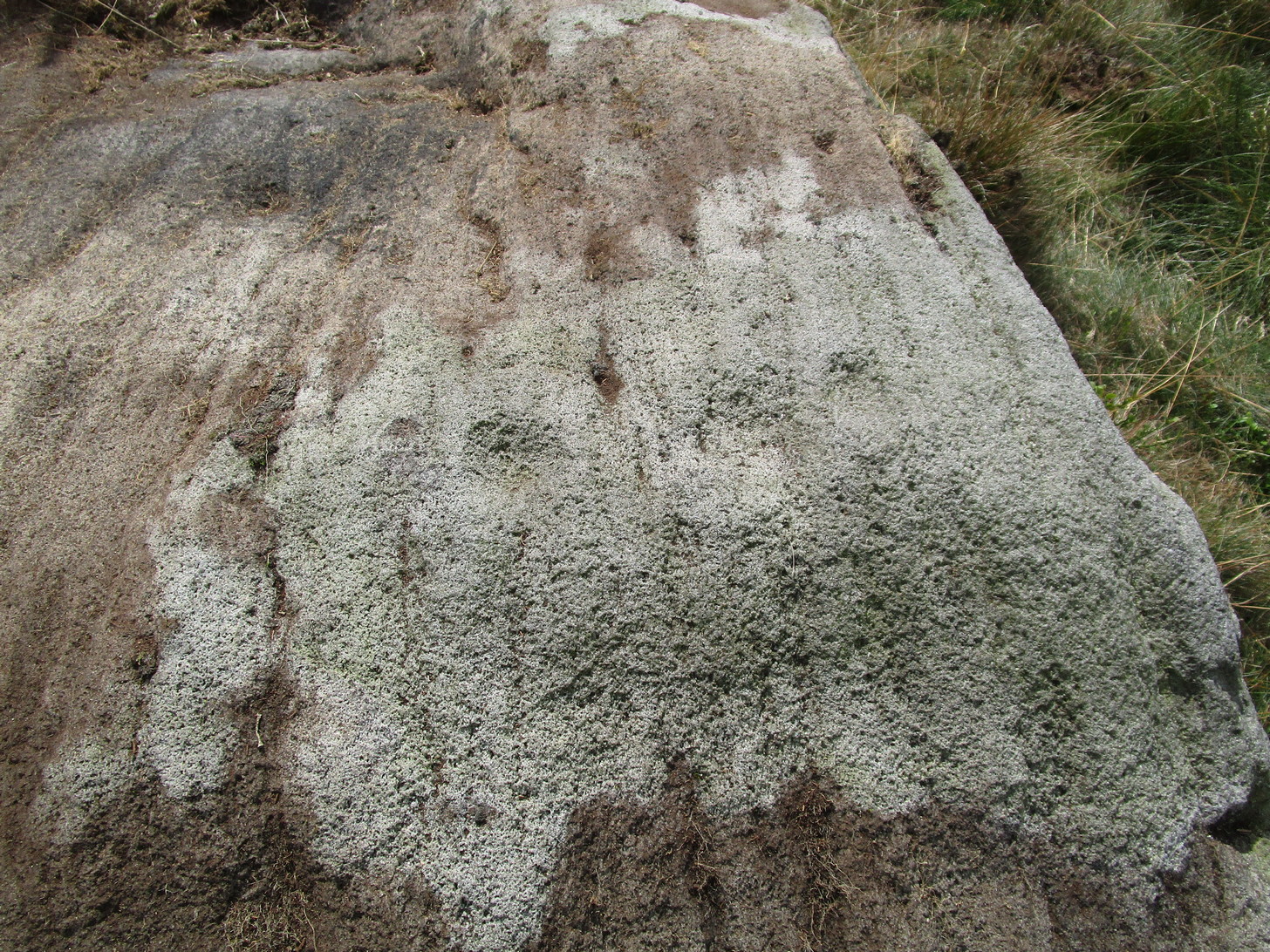

Lower Rivock, Keighley, West Yorkshire

Cup-and-Ring Stone:  OS Grid Reference – SE 0717 4471

Getting Here

Faint Lower Rivock cup-and-ring

From the B6265 valley road between Bingley and Keighley, just near Riddlesden Hall, take the road up and over the canal into Riddlesden, bearing left up past West Riddlesden Hall and up Banks Lane. As you reach the T-junction at the top, where you hit the Silsden Road that goes round the moors, park up. Cross the road and follow the footpath up the field, go over a stile and continue up the track to the next gate. Once through this gate, go across the field to another gate which leads to a narrow track. The stone is situated on the left hand side about 75 yards from the gate.

Archaeology & History

Not previously recorded, this carving comprises of a large cup on the vertical surface of the stone with a faint surrounding ring mark.

© Chris Swales, The Northern Antiquarian


Grey Stone, Newsholme Dean, Oakworth, West Yorkshire

Cup-Marked Stone:  OS Grid Reference – SE 00621 40841

Also Known as:

  1. Carving no.2 (Boughey & Vickerman)

Getting Here

Grey Stone, Newsholme Dean

Take the same directions as if you’re visiting the Cob Stone Field carving; but instead of going into the field on your right, walk down the track about 100 yards towards the large barn below.  As you walk down keep your eyes peeled to the field on your left and, right up against the wall of the barn, you’ll see a large boulder resting quietly. That’s what yer after!

Archaeology & History

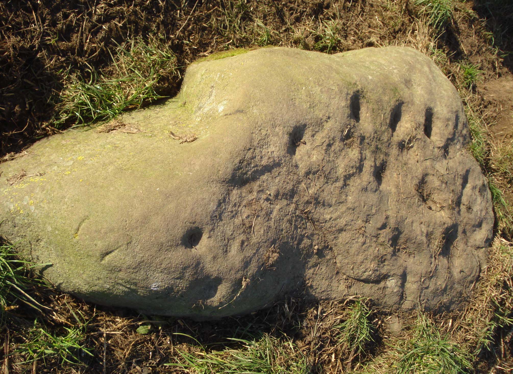
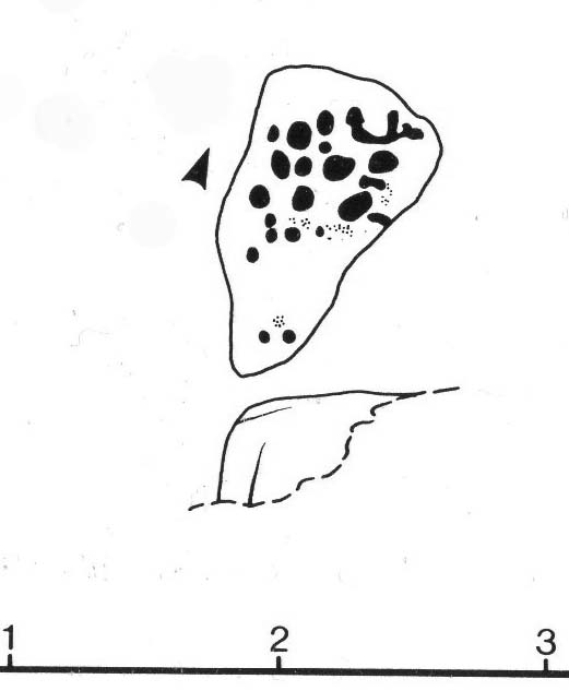
This large faded cup-marked rock whose western side has been split off in recent years, has a scatter of “up to 21 small shallow worn cups” on its upper surface.  They can be difficult to see in some light, but they’re definitely there (as Ray Spencer’s photos clearly show), fading slowly into Nature’s winds and storms.  A couple of ‘lines’ running down the edge of the stone are  due to modern farm-workings.

Close-up of the cups

Sketch of the design

Several other rocks in this and adjacent fields have what may be faded remains of other cup-markings, but without guidance from a geologist or a stone-mason, we can’t know for sure whether they’re authentic or not.  It’s likely that there are other authentic carvings hiding in this area—they just need sniffing out!

References:

  1. Boughey, Keith & Vickerman, E.A., Prehistoric Rock Art of the West Riding, West Yorkshire Archaeology Service 2003.

Acknowledgements:  Huge thanks to Ray Spencer for us of his photos in this site profile. Thanks Ray.

© Paul Bennett, The Northern Antiquarian 
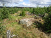

Rivock Enclosure, Riddlesden, Keighley, West Yorkshire

Enclosure:  OS Grid Reference – SE 0768 4414

Getting Here

Rivock Enclosure walling, looking north

Follow the directions to reach the small Rivock East Carving just on the level of the small moorland.  From here, walk less than 100 yards east, staying just on the edge of the moor, keeping your eyes peeled for the irregular shaped rocks running in lines roughly parallel with the footpath above the edge of the crags.

Archaeology & History

Recent explorations in and around the Rivock Edge area found, not only a number of undiscovered cup-and-ring stones, but the overgrown remains of an undoubted prehistoric enclosure on the ridge of moorland above the rock escarpment which has not previously been reported in archaeological surveys.  Much of the time the area is covered in deep heather, but thanks to this small section of moor being burnt back a short while ago, the lines of walling that mark the enclosure are there for all to see. It’s obvious that some sections of the old walls have been removed in the not-too-distant past for use in more modern walling and, nearby, old quarries and farming have probably been responsible for other destructive elements.

Easternmost line of Rivock enclosure walling

This enclosure is of a rough, rounded, scalene triangular formation, with the main piece of extant walling running roughly northeast-southwest.  The walling is typical of other settlements and enclosures in the region, probably Bronze Age in nature, Iron Age at the latest, with some natural earthfast boulders marking parts of the outline and many smaller pieces of rock and packing stones being added to build up the structure.  The same layout is found at other nearby prehistoric enclosures at Crow Well, Dumpit Hill, Snowden Moor, Woofa Bank and many others.

Of the larger upright stones in the Rivock Enclosure, several of them stand about three feet high, with some of them having been knocked down.  The longest line of walling, running roughly east-west, is less than 50 yards long; whilst the enclosure wall running roughly north-south on its eastern side is 30 yards long.  Much of the walling along its northern side appears overgrown and sections of it are missing.

For a long time I puzzled as to whether there had been any settlements on this part of Rombald’s Moor, rich in cup-and-rings stones — and at last we find that there was at least one such site.  Forays back and forth across the level ground all around here failed to locate any other similar enclosure remains; but it may be that some have been covered (or were destroyed) in the adjacent forestry plantation to the west.  Further explorations by fellow antiquarians may prove worthwhile when the forest is cut down in the next few years.

© Paul BennettThe Northern Antiquarian


East Riddlesden Cross, Keighley, West Yorkshire

Cross:  OS Grid Reference – SE 079 421

Archaeology & History

A little-known early christian relic found in the driveway to East Riddlesden Hall was saved and propped up in the stable floor at the back.  In 1984 however, the National Trust got round to moving it and bringing the relic to greater public attention by putting it on display in the great hall of the building. (I think you’ve gotta pay to go in and see the stone these days – which is a bittova pain if you just want to examine the carving)

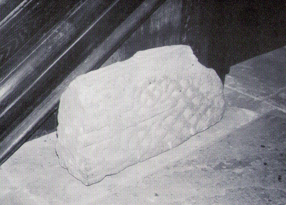
Old photo of the carved stone (after Margaret Faull)

Measuring just 1 foot across and 2 feet high and carved on all sides, the design is all too familiar to those of you exploring early christian or late-Celtic art forms.  Executed sometime between the 5th-10th century, on the main face of the cross we have the traditional ‘Celtic’ interlacing, with a bird-figure emerging on or around an early ‘cross’ symbol.  There are a variety of interpretations of this, but none relate to any modern christian mythic structures.  Indeed, we should cautiously reflect on the more pre-christian nature of this design: carved as it was at a time when the spirit of the natural world (animism) was endemic amongst all people.  This carving would in some way reflect such implicit subjectivity, though perhaps have had emergent ideals relevant to the christian cult within it.  However, we should be cautious about this christian idea, despite it being much in vogue by prevailing groups of consensus trance historians.

References:

  1. Faull, Margaret L., “The Display of the Anglo-Saxon Crosses of the Keighley Area,” in Transactions of the Ancient Monuments Society, New Series no.30, 1986.

© Paul Bennett, The Northern Antiquarian

Rivock East Carving, Keighley, West Yorkshire

Cup-Marked Stone: OS Grid Reference – SE 07640 44215

Getting Here

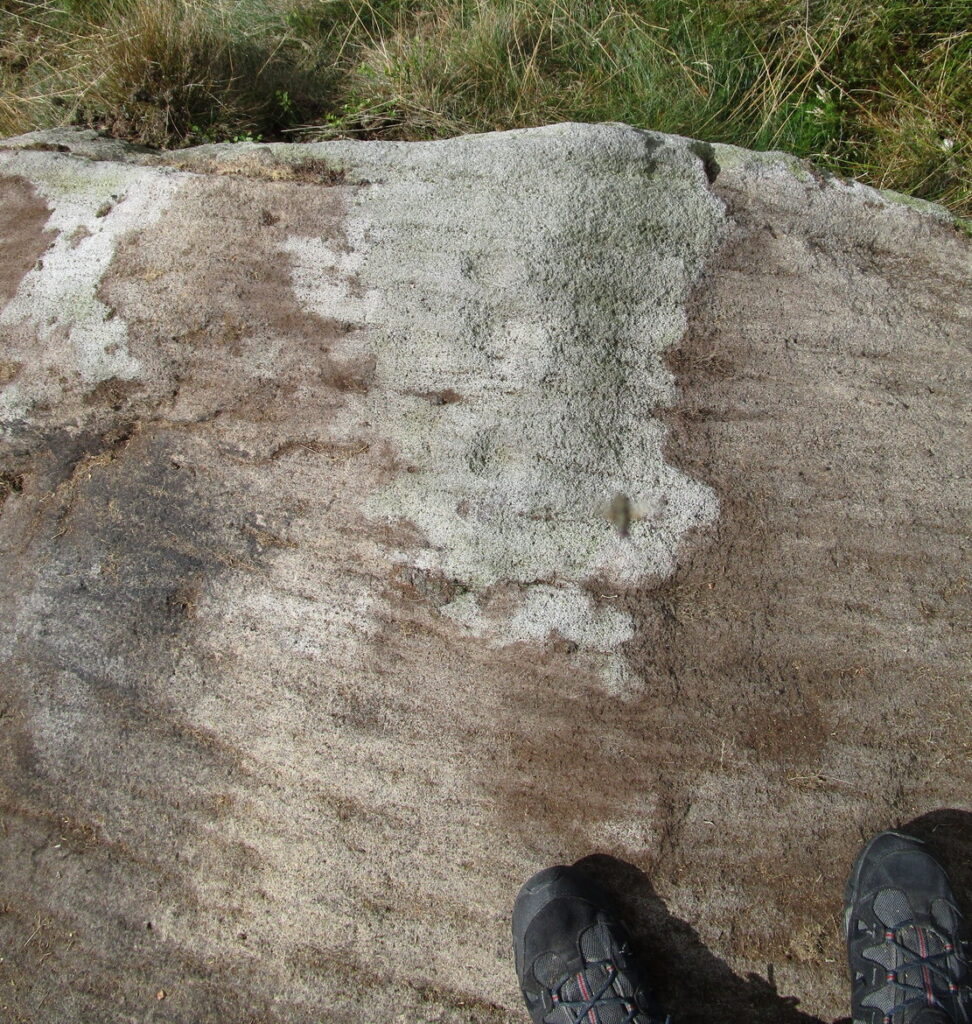
Cupmarks at Rivock East

Take the same directions as if you’re going to Dave’s Stone, to the eastern end of Rivock Edge itself. Then take less than 10 steps further onto the moor itself and you’ll see the stone pretty low down in the heather. (please note that grid-reference above needs revising)

Archaeology & History

…and looking straight down!

Found about 10 yards onto the flat ridge south of Dave’s Stone cup-marked stone, the vegetation covering this carving had only recently been brushed off when we revisited the place in 2012, by members of the Ilkley CSI team in their own survey of the area.  As you can see, it’s a simple design of just two well-preserved cups on a small rounded stone. What may be the remains of a very faint ring arc is possible over one of the two cups. Nowt much more to say really!

© Paul Bennett, The Northern Antiquarian