Brackendale Mills, Thackley, Bradford, West Yorkshire

Cup-Marked Stone (missing):  OS Grid Reference – SE 1687 3868

Archaeology & History
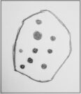
Sketch of the missing cup-marked stone

This carving was originally located somewhere close to the old disused Brackenhall Mills on the edge of Thackley, just before you drop down to Thackley tunnel.  It was uprooted sometime in the 1950s and taken several miles away to the Cartwright Hall Museum at Manningham, Bradford, where it sat outdoors behind some fencing for many a-year, accompanied by the large fossil of an ancient tree.

I first saw it there when I lived close by in 1981, in the days before I had such a thing as a camera.  Hence I only have this scruffy old sketch of the design, which I did without adding any notes to help remind me which carving it was!  So this sketch has sat, all-but-forgotten, on a scrap of paper since then, until I recently sussed out which carving it was!

The stone itself was akin to a very large portable rock, with a simplistic design consisting of at least nine cup-marks cut into one of the rounded faces.  One account of the stone suggested there may have been a possible incomplete ring around one of the cups.  When I went back to see the stone about 20 years ago, it had gone.  So I called into the adjacent museum to inquire what had become of it.  The curator (or whoever it was) that I spoke with told me that the stone had been put into a box and placed in the cellars, but refused to let me see it.  I asked to make an appointment to see the stone and he refused that too.  It has not been seen since.  Does anyone know what’s become of it?

References:

  1. Keighley, J.J., “The Prehistoric Period,” in Faull & Moorhouse’s, West Yorkshire: An Archaeological Survey to AD 1500 (WYMCC: Wakefield 1981).
  2. Yorkshire Observer, January 17, 1953

© Paul BennettThe Northern Antiquarian


Scout Willie’s Well, Idle, Bradford, West Yorkshire

Healing Well (destroyed):  OS Grid Reference –SE 1672 3866

Archaeology & History

Along the footpath below the family graveyard at Thackley, the great genealogist and industrial historian J.H. Turner (1878) told that, “at the right hand side of the wood, at the bottom, is Scout Willie’s Well, formerly noted for its medicinal properties” – though whatever curative aspects it possessed have long since been forgotten.  It was also known as the Sweet Willie Well.  I perused the woodlands here searching for the well in my younger days but could find no trace of it; nor is anything shown on the early OS-maps of the area.  

References:

  1. Turner, J. Horsfall, Idle Upper Chapel Registers and Graveyard Inscriptions, Bingley 1878.

© Paul BennettThe Northern Antiquarian

Sweet Willy Well, Wrose, Shipley, West Yorkshire

Healing Well: OS Grid Reference – SE 16561 36440

Also Known as:

  1. Lin Well
  2. Silver Stream
  3. Sugar Stream

Getting Here

Sweet Willy Well, Eccleshill

Whether you’re coming here from Wrose or Eccleshill, go along Wrose Road and turn down Livingstone Road at the traffic lights. Down here, when the road splits, head to your right until you meet with those stupid road-block marks (where you can only get one car through). Just here, walk down the slope and path on your right, and before you hit the bottom of the slope, walk down the small valley for about 20 yards until you see the small stream appear from beneath some overgrown man-made stone lintels. That’s it!

Archaeology & History

When I was a kid I used to play down this tiny valley when the waters here still had small fish swimming away (we used to call them ‘tiddlers’). The fish seem to have gone, but there are still waterboatmen on the surface, indicating that we still have fresh water here – and on my most recent visit, I cautiously tasted the waters and found them OK (the prevalence of broken bottles and beer cans from locals doesn’t inspire you to drink here though).

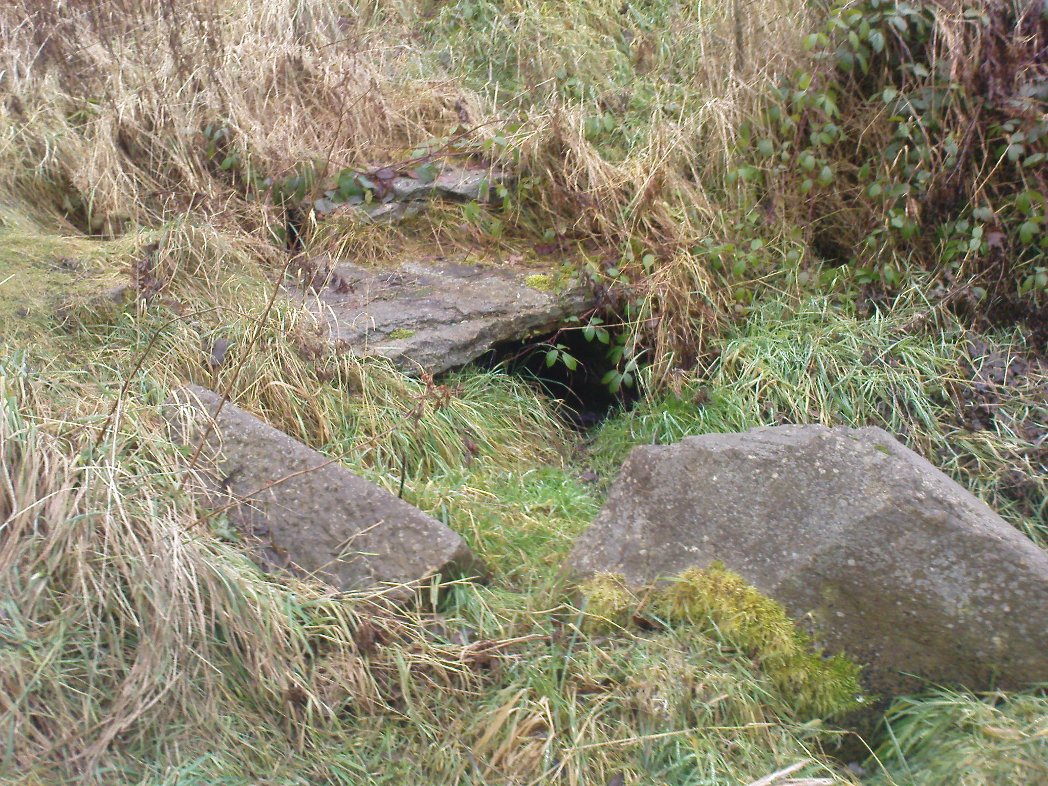
Initially located on the local boundary line between Eccleshill and Wrose, the waters used to be found running into a trough about 100 yards further up the small valley, but this has been lost and housing now covers its original site.  You can see how the stream has cut the valley further upstream, but now it bubbles up from beneath the rocks shown in the photo.  Bradford historian Robert Allen (1927) described the site in his survey as originally being between North Spring and South Spring Wood.

Although the name Sweet Willy Well remains a mystery, one of its other titles — the Lin Well — relates to the presence of linnets that used to be found in great numbers here.  The ‘Sugar Stream’ name is one we knew it as locally as children, due to the once sweet taste of the waters.  It is likely to have had medicinal properties, but these have been forgotten.  No archaeological survey has ever been done of this site.

References:

  1. Allen, Robert C. (ed.), The History Of Bolton In Bradford-Dale; with Notes on Bradford, Eccleshill, Idle, Undercliffe, Feather Bros: Bradford 1927.

© Paul Bennett, The Northern Antiquarian


Buck Woods Carving (03), Thackley, Bradford, West Yorkshire

Cup-and-Ring Stone:  OS Grid Reference – SE 17456 39162

Getting Here

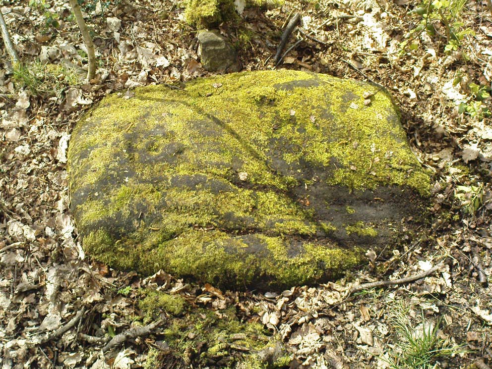
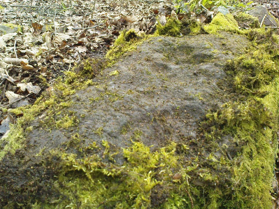
A mossy cup-and-ring

Follow the same directions as if you’re visiting the largest and most ornate of the Buck Woods carvings. From here, about 10 yards ahead of you, roughly north, you’ll see another stone, less than half-size of Buck Woods 1, moss-covered and not rising too much out of the Earth.  It’s not difficult to find once you’ve located the largest of the Buck Woods stones.

Archaeology & History

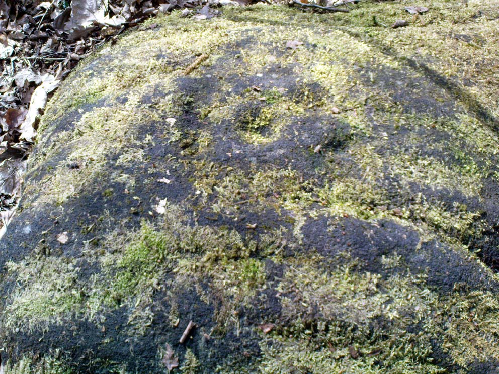
A cup-and-half-ring

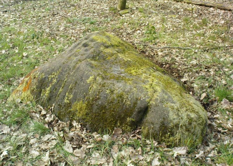
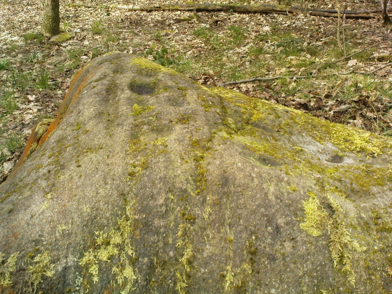
Another of the small cluster of little-known prehistoric carved stones in this woodland on the edge of Bradford, not in the Boughey & Vickerman (2003) survey.  This however is possessed of a cup-and-half-ring, with other seemingly carved ingredients fusing onto natural aspects of the rock.  The design is found on the highest part of the stone; and whilst the main cup is easy to make out, the encircling half-ring is slightly troublesome.

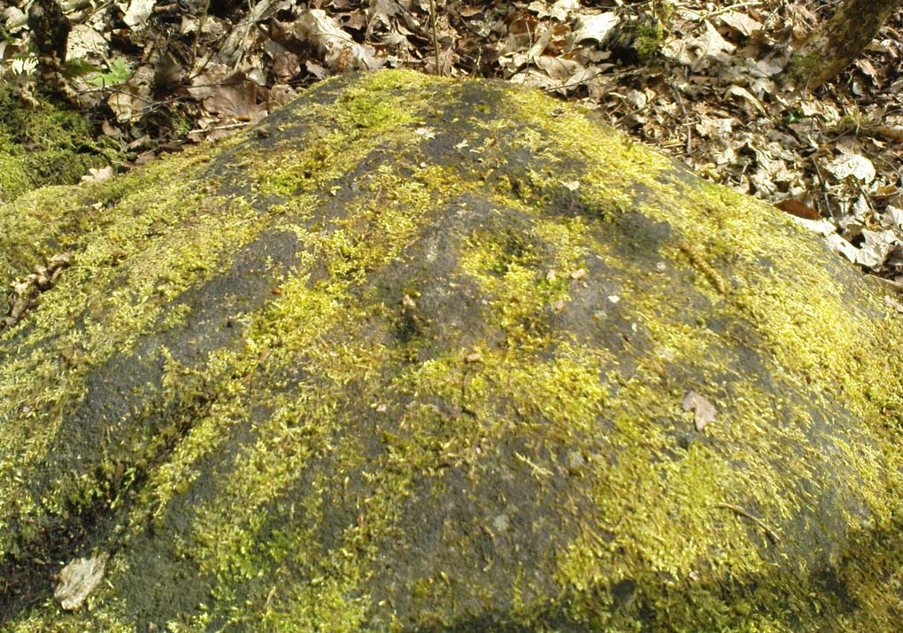
…and from another angle

There are two distinct lines running down one side of the rock, both seemingly natural, but they may have been added to—it’s difficult to say with any certainty.  Certainly the one closest to the cup-and-half-ring has the carved line etched to meet the natural geological feature, as you can just make out in the photos here.  There also seems to be other carved features surrounding the central design, with other marks round the main cup, almost suggesting that a complete ring was being made, but never accomplished.  It’s an odd one.  If I’d have stripped the moss from the stone I could have seen the design in greater detail, but I’ve gotta bittova soft spot for mosses and lichens, so left it alone!

© Paul Bennett, The Northern Antiquarian


Buck Woods Carving (04), Thackley, Bradford, West Yorkshire

Cup-Marked Stone:  OS Grid Reference – SE 17418 39163

Getting Here

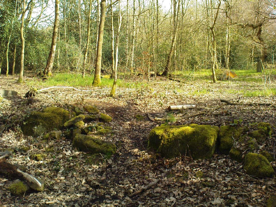
It’s the moss-covered stone, centre-right

Follow the same directions as if you’re visiting the largest and most ornate of the Buck Woods carvings. From here, walk 10 yards to the Buck Woods 3 carving, then about the same distance forward again until you reach the low lines of (what looks like) Iron Age walling running roughly east-west through the trees.  Walk 10-20 yards east along the walling until a gap or entrance appears – and on the other side where the walling starts again, check the 2nd or 3rd rock along, beneath the mosses.

Archaeology & History

More simple cup-marks

There are no previous references to this small cup-marked stone, whose cups are on the topmost surface of the stone in this ancient stretch of walling (into which some vandal has recently carved his name, ‘Hunt’). It’s another one for the purists amongst you though, as we only have 2 or 3 cupmarks here, as the photos show – with just one which I can say is a certainty.  Curiously the other two look, for all the world, as if they’re mollusc cups!—but considering you’re about 50 miles from the sea, this seems a little unlikely.  Worth having a look at when you’re checking the other four carvings close by.

© Paul Bennett, The Northern Antiquarian


Buck Woods Carving (02), Thackley, Bradford, West Yorkshire

Cup-Marked Stone:  OS Grid Reference – SE 17473 39152

Getting Here

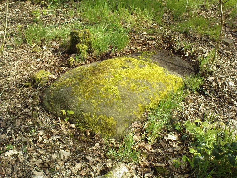
Buck Woods cup-marks

Follow the same directions as if you’re visiting the largest and most ornate of the Buck Woods carvings. Once there, notice the green field on the other side of the wall less than 50 yards away. Walk towards the wall, about 20 yards from the Buck Woods 1 carving, keeping your eyes peeled for a flat mossy stone.  You’ll find it!

Archaeology & History

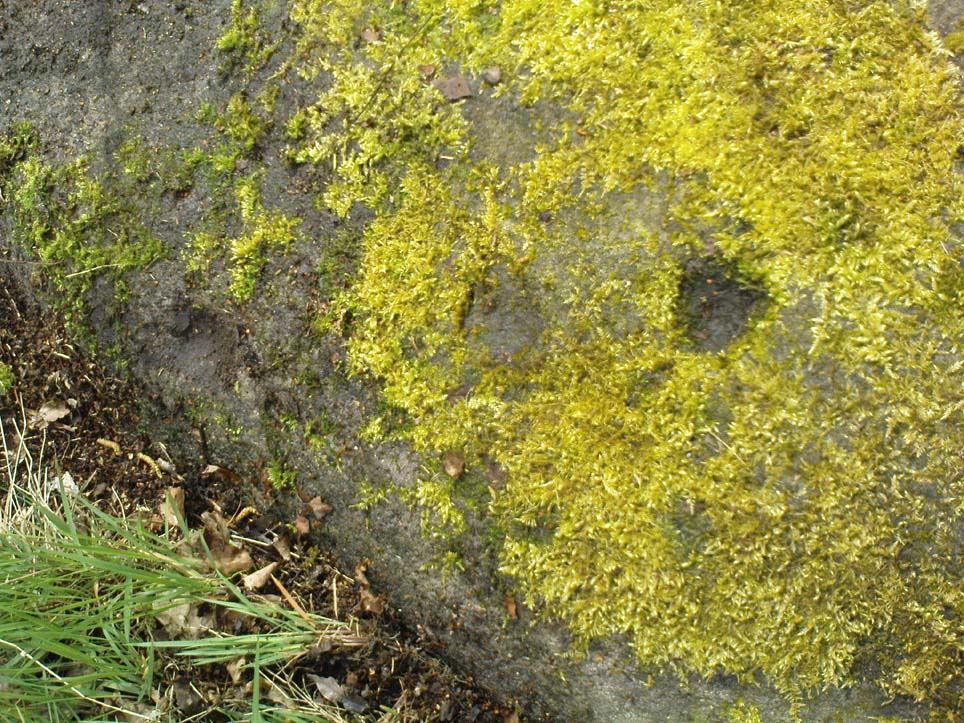
Close-up of the cups

A nice simple, almost cute cup-marked stone—not included in the Boughey & Vickerman (2003) survey—with three simple cups running almost in a straight line from the middle of this long stone to its outward, eastern edge.  One of the good features of this and its associated carvings is the setting amidst which it’s found. We tend to associate these carvings with open moorland, where many now live, but when they were first carved they were surrounded by woodland and much more: important ingredients relevant to understanding the nature of these curious carvings…

© Paul Bennett, The Northern Antiquarian


Buck Woods Carving (05), Thackley, Bradford, West Yorkshire

Cup-Marked Stone:  OS Grid Reference – SE 17554 39290

Getting Here

Single cup-marked stone against wall

From Thackley corner, take the Esholt road down Ainsbury Avenue.  Walk past the Thackley football ground and another 50 yards on, to your left, there’s a field.  Cross this and go through the gate into the trees.  Another field is across the footpath, but turn right and walk on the muddy path, keeping parallel with the other field, until the walling bends round to the left.  About 15 yards round where the wall bends left, watch out for the silver birch tree and the small cup-marked rock at its base, right up against the wall.

Archaeology & History

This is an archetypal single cup-marked stone known as a ‘portable’ — though in its original state, when the rock was obviously larger than it is today, I doubt anyone could have carried it further than a couple of yards!  The stone has been split from a larger rock, and we’re unsure the size of its original form—but presume it to have been perhaps double its present size.

The broken rock stands (now) upright against the wall and nice birch tree (Betula pendula), but wasn’t like that when we first found it, and the cup was barely visible as it faced down into the Earth.  As the images show, we have just a single cup-mark on its outer face.  It looks typical of those carvings found in the larger Bronze Age cairns scattering the moors to the north, but we have no evidence nor folklore indicating the existence of such a monument hereby.  The extensive amount of overgrown multiperiod walling all over this woodland may have used up such a cairn, but we will probably never find out, as the woods have been overused by industrialists, who are now, slowly, turning the woods here into a park.

© Paul Bennett, The Northern Antiquarian


Buck Woods Carving (01), Thackley, Bradford, West Yorkshire

Cup-Marked Stone:  OS Grid Reference – SE 17456 39155

Getting Here

One of the Buck Woods carvings

From Thackley corner, take the Esholt road down Ainsbury Avenue.  After a couple of hundred yards, note the metal gateways into the woods.  Go through here, following the main path, until you reach another split in the paths where one of those awful touristy signs tells you where you are.  Walk past this (not left or right) into the opening of large oaks and other trees on a flat plain.  A path swings round the right side of this, and less than 100 yards along, watch out for some rocks on your right, heading towards the wall and small field.  You’re damn close!

Archaeology & History

Close-up of cup-markings

This is one amongst a cluster of at least five cup-marked stones very close to each other in the woods here — and probably the best of the bunch.  Also found in conjunction with what seems to be an Iron Age walled enclosure 20 yards away, there are at least eight cup-marks on top of this rock,  They occur in two groups: one, on a sloping section of the boulder where three fading cups can be seen; and the other is on the topmost section of the stone, where five larger cups distinctly stand out, and occur in conjunction with what seems to be a long carved line running close to the edge of the rock before it drops sharply to the ground.

This and its associated carvings are found in close proximity to some sort of walled enclosure.  It’s difficult ascertaining the age and nature of the enclosure walling, as masses of it are found throughout this section of woodland and it appears to be multiperiod in age and nature: from Iron Age to Victorian by the look of things.  Neither this cup-marked stone, nor any of its close associates (the closest of which is the Buck Woods 3 carving, less than 10 yards away), were recorded in the Boughey & Vickerman survey of rock art in West Yorkshire.

© Paul Bennett, The Northern Antiquarian