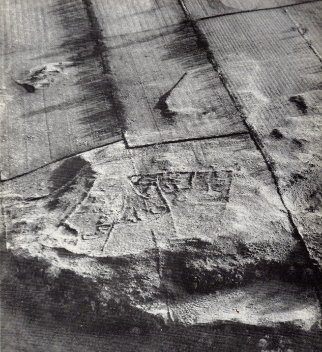
Settlement: OS Grid Reference – NY 9212 7538
Also Known as:
- Toddle Crags Settlement
- Gunnerton Settlement
Archaeology & History

Some of the extensive remains of an Iron Age settlement on the northeastern edges of Barrasford Common, on the edge of Toddle Crags a couple of miles north of Chollerton, are thankfully still visible, despite the increased quarrying operations taking their toll on other (now lost) prehistoric sites between the little villages of Gunnerton and Great Swinbourne. The remains of earthworks and walling are clearly visible at ground level, despite being overgrown.
The archaeologist J.K. St. Joseph (1970) described them in a short piece in Antiquity journal more than 40 years ago, saying:
“The site as first described by the reverend G. Rome Hall (1876) in the course of a survey of settlements around Birtley and Barrasford, made a century ago. It is the easternmost of three settlements that he noted on the crags east of Gunnerton, and his sketch-plan shows rather irregular enclosures within which appear a dozen hut-circles, between 27ft and 15ft…in diameter according to his account. The western of the three settlements was subsequently excavated by Rome Hall about 1880, and re-examined in 1941 by Mr A.H.A. Hogg (1942), who was able…to show that the period of occupation fell within the Roman Age. Mr Hogg refers to the earthworks illustrated (above) as ‘a very large settlement, much robbed.’
“…The site consists of a roughly square enclosure, 300ft across, or a little more, defined by a low bank… The SW and SE sides are straight: on the other two sides the boundary mark conforms to the cont0urs of the ground. The enclosure is subdivided, and evident traces of hut circles and of more rectangular-shaped buildings are still to be seen. Some of the small compounds may be pens for stock, and the general impression conveyed by the earthworks is of a settlement that has developed over a period of time, additions and rebuildings being involved. It is thus a notable example of the rectangular settlements of the Roman Iron Age, which occur widely in south Northumberland, as Mr G. Jobey has demonstrated. The earthworks compare well in point of weathering, at least in an aerial view, with the best preserved of the Iron Age settlements on the moors in the north of the county.”
The writer notes how the this settlement had evidence of continued human use all the way from the Iron Age to perhaps as late as the 18th century! This isn’t too unusual. The best example I’ve yet to come across is the little-known settlement complex in the far north, on the small plateau known as Baile Mhargaite near Bettyhill, Sutherland, where a living community began in the neolithic period and only came to an end with the Highland Clearances two hudnred years ago!
References:
- Hall, George Rome, “Ancient British Remains near Birtley and Barrasford, North Tyne,” in Archaeologia Aeliana, Volume 7, 1876.
- Hogg, A.H.A., “The Native Settlement at Gunnar Peak,” in Archaeologia Aeolina, Volume 20, 1942.
- St. Joseph, J.K., “Air Reconnaissance: Recent Results 19,” in Antiquity no.173, March 1970.
ACKNOWLEDGEMENTS: Many thanks to Antiquity Journal for use of the photo.
© Paul Bennett, The Northern Antiquarian
The map could not be loaded. Please contact the site owner.