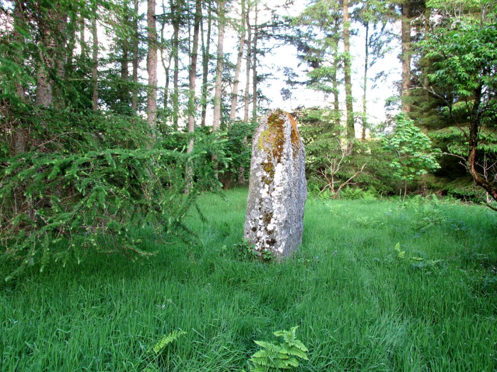
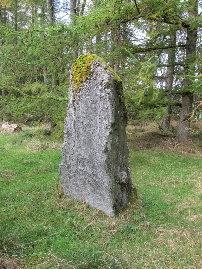
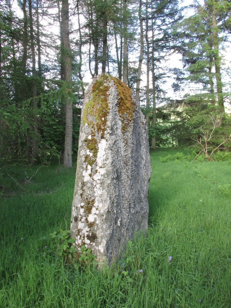
Golan Well, Glenisla, Angus

Hut Circles:  OS Grid Reference – NO 1974 6559

Getting Here
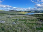
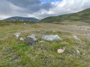
Hut circle (2), looking south

From Alyth, take the B954 road north to Glen Isla, or from Kirriemiur northwest up the B951.  Whichever your route, once you pass the Kirkton of Glenisla about 10 miles up, make sure you DON’T cross the river bridge a mile past here—instead take the tiny right-turn just before the bridge and go up here (past Folda) for just over 2 miles and then park up where the signpost tells Cateran Trail (if you’ve crossed the next river bridge, you’ve gone 150 yards too far).  Walk up the track and, after a mile, it levels-out just where it swerves to go back downhill.  Once here, walk off the track and up onto the moorland on your right (south) and where the land levels out, zigzag around, keeping your eyes peeled for the circular stone enclosures.  There are several of them.

Archaeology & History

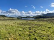
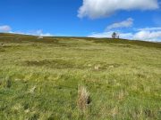
On the way back from seeking out a forgotten holy well at Auchenchapel in the hills above Glen Isla last week, I stumbled across a small group of hut circles which, it turns out, weren’t in the record books.  Unfortunately I found them near the end of the day, so it was a bit of a rush-job zooming back and forth taking quick photos of what was there, i.e., at least three hut circles, probably Iron Age in origin (although I’ve seen Bronze Age circles just like these) constructed very close to each other, with a possible fourth one buried in deeper heather nearby.  The circles have been built on a high exposed ridge linking Glen Isla to Glen Clova a few miles to the east, but when these were built this area would obviously have possessed a good cover of birch, hazel and other trees, protecting the structures from the elements.
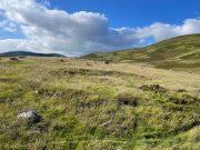
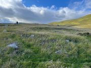
Hut circle (1) looking NW
Golan Well hut circle (1)

The first one—hut circle (1) (at NO 19765 65581)—has been built and cut into a slight slope in the hillside, with the floor inside obviously leveled out.  Measuring roughly 16 yards across from outer wall to outer wall, the entrance to the building seems to be on the eastern side and the average height of the walling all round is roughly 2 feet.  On the whole the structure is in very good condition, with hardly any damage done despite its great age.  It was obviously built for a single family, but was no doubt used over and over for many centuries.
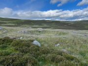
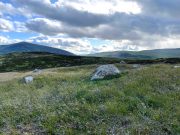
Hut circle (2) looking NE
Hut circle (2) looking SW

The second of the circles (at NO 19741 65590) is just 15-20 yards away to the northwest.  Slightly smaller than hut circle (1) and also built into slightly sloping ground, its walls are a little more sturdy and slightly wider than its compatriot and were built around at least two earthfast boulders making it structurally much stronger.  Measuring roughly 15 yards across from outer wall to outer wall, the entrance to this circle is at the southeast.  Once again, this would have been perfect for a single family to live in.
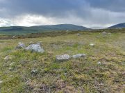
Hut circle (3) looking NW
The small hut circle (3)

The third of the hut circles found this day was the smallest of the group and suggests that it would have housed only one person.  The stones making up this small circle are unusually large for such a small structure, which made me think at first that it may have been a cairn—but the more I looked, the more I realized that this wasn’t the case.  Somewhat more oval in shape than the other two, unlike its compatriots some parts of the walls seem to have been disturbed and knocked down to the side.  The poor little fella measures only 8 yards across, but its walls were still nice and sturdy being roughly a yard wide all round.
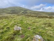
Line of ancient walling

What seemed to be a fourth hut circle was covered in deep heather close to the cluster of three, but we need another visit here to work out whether this suspicion is correct or not.  Much more certain is the existence, less then a hundred yards northwest of here, of a very distinct line of ancient walling, about a yard wide, suggesting that the hut circles were encircled by a much larger enclosed structure.  I paced along this walling for 60 yards, whereafter it disappeared into the heather.

It’s extremely likely that other unrecorded prehistoric remains are still to be found in this area.  So get y’ walking boots on and get that nose of yours a-twitching across these ‘ere ancient hills!

Acknowledgements:  Huge thanks for Prof. Paul Hornby, for getting us up here and having another fine day fine on the hills…

© Paul BennettThe Northern Antiquarian

Auchenchapel, Glenisla, Angus

Hut Circle:  OS Grid Reference – NO 19957 65342

Getting Here

From the circle, looking S

From Alyth, take the B954 road north to Glen Isla, or from Kirriemiur northwest up the B951.  Whichever route you take, goes for miles, then past the Kirkton of Glenisla for another mile make sure you DON’T cross the river bridge—instead take the tiny right-turn just before the bridge and go up here (past Folda) for just over 2 miles and park up where the signpost tells Cateran Trail (if you’ve crossed the next river bridge, you’ve gone 150 yards too far).  Walk up the track for a mile where it just about levels-out, before swerving back downhill again and, shortly after crossing a burn, turn right and head downhill into the heathlands.  About 350 yards down, right beside the track, this overgrown hut circle lives!  Y’ can easily walk straight past it if you’re not careful.

Archaeology & History

The hollowed hut circle

In a beautiful setting, this good-sized Iron Age hut circle (possibly earlier), roughly fourteen yards across, sits within a wider archaeological environment of human settlements all round here from medieval and later periods, most of which has almost entirely disappeared beneath the vegetation on these gorgeous moorlands.  It’s one of a number of remaining prehistoric circles that still live amidst the later remains and would have housed a good-sized family or two.  The walls alone are roughly six-feet thick all round, making it a very solid building indeed!  In all likelihood, other hut circles have been torn down for use in the construction of the later medieval buildings nearby.  Thankfully, like the very well-preserved cluster up the slope above Golan Well, this one survived.

© Paul BennettThe Northern Antiquarian

Kilry, Glen Isla, Angus

Standing Stone: OS Reference – NO 2432 5449

Also Known as:

  1. Canmore ID 31093

Getting Here

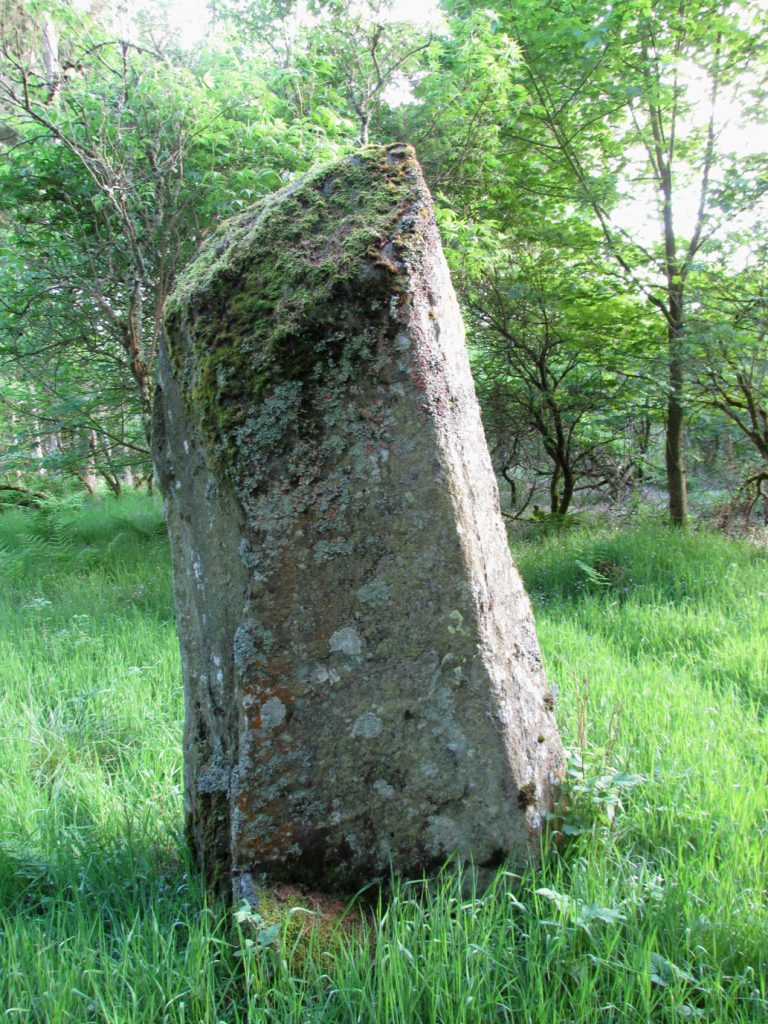
Take the B954 north from Alyth, and turn left onto the unclassified road at Craigisla House, turning right at Dykehead, then take the right fork at Faulds. Park up by the school about ¼ mile further on, and the stone is in a wooded glade on the opposite side of the road along a track to the left of ‘Standing Stone’ cottage.

Archaeology and History

Quoted in the Canmore database, A.J. Warden, writing in 1882, described the stone:

The standing stone on Broomhall estate is a large amorphous whinstone, standing in a small field near the confluence of the Kilry Burn and the River Isla.  It is c.7′ high and c. 10′ in circumference at the base. Tradition states that it commemorates a battle fought between the laird of Kilry and the Durwards of Peel.’

On the OS map the stone is aligned with the Pitmudie Stones and the Knowehead of Auldallan Stones to the north east.

References:

  1. Warden, A.J.,  Angus or Forfarshire: The Land and People, Descriptive and Historical – volume 3, Dundee 1880-5.

© Paul Hornby, The Northern Antiquarian


Formal, Bridge of Craigisla, Lintrathen, Angus

Standing Stone (fallen):  OS Grid Reference – NO 25618 54024

Also Known as:

  1. Canmore ID 31046

Getting Here

Standing Stone on 1865 map

Standing Stone on 1865 map

From Alyth village, take the B954 road north for several miles.  At the sharp bend of the road when you’ve crossed the Bridge of Craigisla, a few hundred yards along take the next road left.  Barely 100 yards along, stop!  Walk into the where the large farm-buildings are and keep your eyes peeled on the ground, just in front of the first farm building.  A large long stone measuring about 7-feet (2.1m) is thereby beneath your very feet!

Archaeology & History

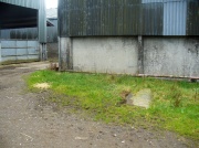
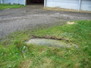
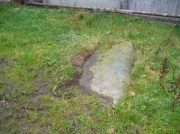
Formal Stone, laying down

Formal Stone, laying down

At the edge of the farm-buildings this all-but-forgotten standing stone lays prostrate, almost hidden, and slowly being covered by the soil and grasses, nearly falling away past the eyes of history.  It’s a pity, as this fallen stone would have stood some six-feet upright, with a couple of feet of it underground.  When it was mapped by the Ordnance Survey lads in the 1860s, a portion of the stone remained standing.  This was echoed in the survey of the Object Name Book in 1861 in which the buildings of Formal were described:

“A fine farm house and offices the property of the late Robert Smith Esqr. of Balharry – in the stackyard is a broken standing stone, to which my attention was drawn by Alexander Annand of Blackdykes and the (parish) Minister.”

Thankfully the present-day farmer here would like to have the stone stood back upright, so hopefully its resurrection aint gonna be too far away.

Formal Stone, looking east

Formal Stone, looking east

Formal Stone, looking south

Formal Stone, looking south

The stone isn’t lying in its original upright position.  It used to stand nearly 10 yards east of here, and was knocked down and rolled into its present spot when an earlier adjacent building was erected.  Another large boulder in the corner where the walls meet (at NO 25585 54044), just through the gates, may also have had some megalithic relationship with the fallen monolith.

© Paul BennettThe Northern Antiquarian