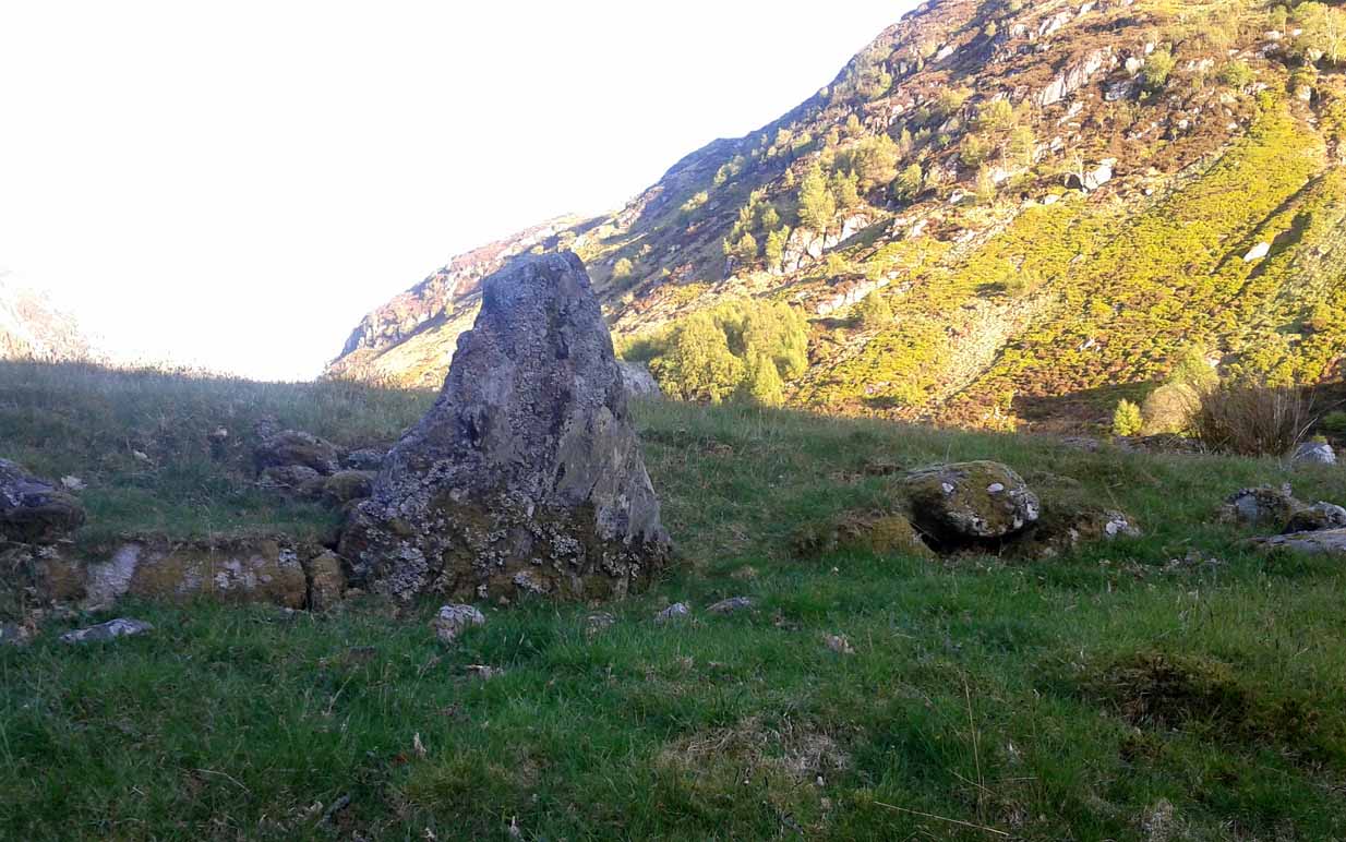
Corrymuckloch (2), Amulree, Perthshire

Cup-Marked Stone:  OS Grid Reference – NN 89037 34706

Getting Here

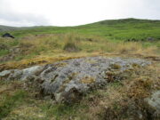
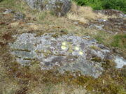
Corrymuckloch (2) stone

Take the A822 road to the northeast of Crieff and head 4-5 miles along until you enter the Sma’ Glen.  You go past Ossian’s Stone and after crossing the river the road starts to go uphill.  Nearly 2 miles up, the road levels out and at the left-side of the road is a small thin car-parking spot. Keep your eyes truly peeled for that! Walk through the gate and along the track (west) for 300 yards until you reach the fence.  Once here, walk right (north) and go through the gate less than 50 yards away.  Less than 300 yards ahead of you you’ll see a small rock outcrop.  Get to it!

Archaeology & History

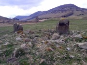
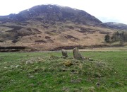
Rediscovered in July 2023, on this small rock outcrop it seems that only the lower east section has been carved, and it can be pretty difficult to see beneath the old layers of lichen that’s been painted across its surface.  Comprising of just four cup-marks close to each other on the top of the stone, there’s a possible fifth cup to be seen on its northeast length.  It’s nowt special to look at to be honest, but it’s worth checking out when you’re looking at the others in this cluster.  In truth, this is another that’s only gonna be of interest to the real geeks amongst you!

© Paul BennettThe Northern Antiquarian

Well of the Mosses, Glen Almond, Perthshire

Healing Well:  OS Grid Reference – NN 82865 33096

Getting Here

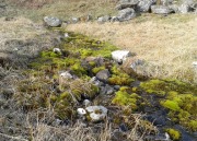
Spring of the Mosses

Spring of the Mosses

Take the dirt-track up Glen Almond for 3½ miles until you reach the standing stone of Clach an Tiompan.  The giant long cairn of the same name is just above the track on the other side.  Walk past this and start walking uphill, diagonally, until a few hundred yards up, a ridge levels out with some unrecorded habitation sites upon it.  The clear waters of this spring are on the eastern edge of this ridge.

Archaeology & History

A little-known spring of water found on the slopes immediately above the giant Clach an Tiompan long cairn.  Beautifully clear water emerges from beneath a large rock that rests by an ancient pathway running across the mountain-slope, used by the local people who lived here before the genocide of The Clearances.  When we visited the place recently, the waters were low, but still running, and the mosses which reach along the length of the burn were almost iridescent in the evening sunlight.

The living glows of moss & water

The living glows of moss & water

Looking upstream to its source

Looking upstream to its source

Upon drinking here, there was that subtle sweetness to the waters, typical of many moss-clad sites, indicating it to have that typical medicinal virtue as a place to renew or revitalise your low-sugar energies after you’ve finished your meditation and rest, gazing within the enchanting mountains in which you are being held.  It’s a truly wonderful little site!

© Paul BennettThe Northern Antiquarian


Conichan East, Glen Almond, Perthshire

Settlement:  OS Grid Reference – NN 84645 32074  —  NEW FIND

Getting Here
The setting of the remains

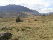
The setting of the remains

Park up and walk the long estate track up Glen Almond for nearly three miles until, on your left, you’ll see a small pond.  From here, walk up the slope and, about 100 yards above you, note the large solitary boulder ahead, above the dyke of a small walled stream, where the land levels out.  Just past the rock itself is the first of several remains.

Archaeology & History

First things first: the grid-reference cited here is centred upon the largest of several rings of stone found on this small grassy plateau, 150 yards north above the River Almond, just past the huge boulder.  It’s an impressive site – and a previously unrecorded one.
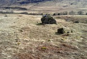
The raised ring of Conichan
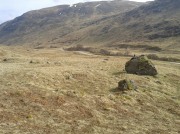
The raised ring of Conichan

Looking southeast

Looking southeast

At least three large hut circles can be clearly seen on this small ridge, amidst a sea of prehistoric sites scattered all down this lonely Scottish glen.  When Paul Hornby, Lara Domleo and I meandered up here the other day (to visit the Clach na Tiompan megaliths), extensive prehistoric walling called my nose up the slopes to see if anything was hiding away—and a large prehistoric ring, more reminiscent of the Derbyshire stone circles and ring cairns than any hut circle, appeared before me.

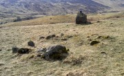
The first and largest that I came across is the one immediately north of the huge boulder (which may have slight traces of ancient walling running up to it).  The large ring is clearly raised onto a flat level platform, with an entrance on its southern edge.  The ring itself measures, from outer-wall to outer-wall some 12 yards wide (E-W) and 11 yards N-S.  The northernmost section of the walling or stone embanked structure is built into the sloping hill to the rear, with the east and western walls constructed simply onto the flat land.  The walling itself is typical of prehistoric structures, comprising the usual mass of small stones packed within a number of larger upright stones; although much of it is very overgrown with centuries of vegetation.  The walling that constitutes the ring itself is between 1-2 yards across and about two-feet high above the present ground-level.
Second circular remains
Second circular remains

...and from another angle

…and from another angle

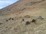
To the east of this is a smaller, roughly circular construction of similar form.  The rocks that make up this site are much more visible and may have been robbed and used in the more extensive walling above and the dykes below.  It is unclear whether the nature of this site is the same as that of the more defined circular enclosure we have just described.

The remains of a third structure was clearly evident a short distance to the east of this, but I didn’t have much time here and another visit is needed to make further assessments.  Iron Age walling and other undocumented prehistoric remains were also found close by.

Acknowledgements:  Many thanks to the noses of little Lara Domleo and Prof. Paul Hornby for their bimbling aid to relocate this site – and one or two others that have been off the radar for many-a-century.

© Paul BennettThe Northern Antiquarian


Auchnafree, Glen Almond, Perthshire

Standing Stone:  OS Grid Reference – NN 8225 3336  —  NEW FIND

Getting Here

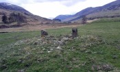
Auchnafree Stones, looking east

Auchnafree Stones, looking east

Walk up the long track of beautiful Glen Almond, past the East Conichan circle and past the giant tomb of Clach na Tiompan.  After about 4.2 miles (6.8km), the track diverges: take the one directly west, over the old bridge, and less than 100 yards past here, note the gate on your right.  Go into the field and start walking uphill until you’re at the highest point a few hundred yards up.  You’ll find the stones in front of you.

Archaeology & History

Auchnafree Stones, looking NW

Auchnafree Stones, looking NW

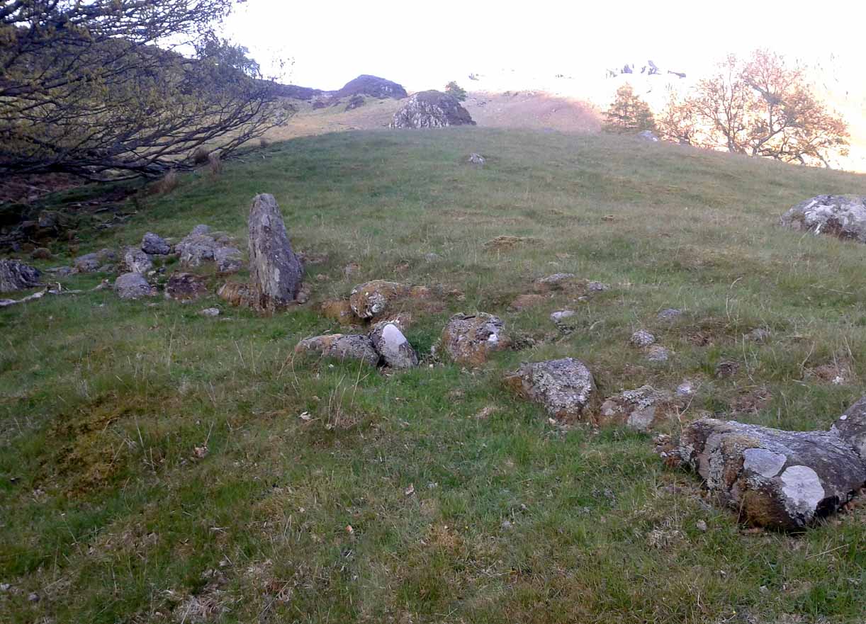
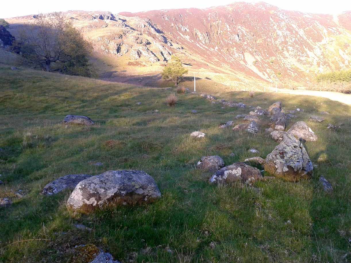
Somewhat reminiscent in style and form to the standing stones at Dumgoyach, north of Glasgow, this one upright monolith and its seemingly fallen companion have not previously been recorded by archaeologists—but it is quite a distance away from anywhere. The upright stone is about one metre tall and its lumbered companion about four feet long.  The remains of a small stone, probably broken from the larger mass, extended beyond the long stone.  Another unrecorded standing stone can be found on another hillock a few hundred yards from here.

© Paul BennettThe Northern Antiquarian


Glenshervie Burn, Glen Almond, Perthshire

Ring Cairn:  OS Grid Reference – NN 82614 32996

Also Known as:

  1. Canmore ID 25565
  2. River Almond

Getting Here

The ruins of Glenshervie Circle

The ruins of Glenshervie Circle

Take the dirt-track, off-road, up to the start of Glen Almond, for more than 4 miles — past the curious Conichan Ring, and past the standing stone of Clach an Tiompan, until you see the large modern walled circle in the field on your left.  Go into that field and you’ll notice a ruined pile and small standing stones 56 yards (51m) WSW.  Y’ can’t really miss it!

Archaeology & History

Sitting upon a flat grassland plateau close to the confluence of the Glenshervie Burn with the River Almond, the visitor here will notice an overgrown ovoid mass of old worn stones in the form of a prehistoric cairn, with two upright standing stones on the western edges of the pile.  This is the remains of what the megalithic magus Aubrey Burl (1988) called the Glenshervie “four poster” stone circle.

Glenshervie stones, looking N

Glenshervie stones, looking N

Glenshervie stones, looking W

Glenshervie stones, looking W

Structurally similar to the neighbouring four-poster of Clach an Tiompan 470 yards (427m) to the ESE, and less damaged than the remaining megaliths of Auchnafree 568 yards (520m) to the northwest, this megalithic ruin was first mentioned in passing by Audrey Henshall (1956) in her survey of the giant Clach an Tiompan tomb and its adjacent ring.  She told that,

“In meadowland beside the Almond, a small circle of standing stones, hitherto unrecorded, protrude through the water-worn material of a low cairn.  This is a similar type of monument to the ruined site at Clach na Tiompan.”

Close-up of cairn & stones

Close-up of cairn & stones

Glenshervie ruins, looking S

Glenshervie ruins, looking S

Indeed it is!  Sadly however, it remains unexcavated — so we know not what its precise nature and function may have been.  When Burl included the site in his 1988 survey, he could add nothing more than I can; but curiously described the two standing stones here as being only “about 1 ft (30cm) high.”  They’re between two and three feet tall respectively, and the remaining cairn is between 5 and 6 yards in diameter, with the central rubble rising between 1 and 2 feet above the natural ground level.

The landscape at the point where this circle was built enables you to look up and down the glens of Almond and Shervie in three different directions.  Whether or not this was deliberate, we cannot know for sure.  But the setting on the whole, in the middle of where the glen widens out and hold this and the nearby monuments, is a beautiful setting indeed…

References:

  1. Burl, Aubrey, Four Posters: Bronze Age Stone Circles of Western Europe, BAR 195: Oxford 1988.
  2. Henshall, Audrey & Stewart, M.E.C., “Excavations at Clach na Tiompan, Wester Glen Almond, Perthshire,” in Proceedings of the Society of Antiquaries, Scotland, volume 88, 1955.

© Paul BennettThe Northern Antiquarian


Newton Bridge Enclosure, Fowlis Wester, Perthshire

Enclosure:  OS Grid Reference – NN 8884 3155

Getting Here

Enclosure’s western wall

Venture along the A822 Crieff to Dunkeld road, turning down into the gorgeous Sma’ Glen.  Nearly 1 mile past Ossian’s Stone, just past where the road crosses the River Almond, walk along the track on your right where the big boulder sits.  Past the boulder, walk up the grassy slope to the left.  A standing stone will catch your attention, which sits in the walling.  Y’ can’t really miss it!

Archaeology & History

Rediscovered by Paul Hornby in 2015 at the end of a day’s excursion to the neolithic sites a few miles west of here, I can find no references at all to the denuded remains of what seems to be a typical prehistoric enclosure.

Looking down the west wall
The southwestern walls

Constructed around a natural rise in the land 60-70 yards above the River Almond, the enclosure has that ‘Iron Age’ look about it (it may be earlier).  Shaped like a giant ‘D’ (and clearly visible on GoogleEarth), the extensive walling that makes up the site—about a yard wide all the way round—is far from small, measuring some 60 yards (54.8m) at its greater longer axis roughly north-south, by 54 yards (49.5m) east to west, with a circumference of about 170 yards (155.5m).  The much-denuded walling that defines the perimeter is comprised of a number of large stones with thousands of smaller packing stones that are mainly overgrown.  A large ‘standing stone’ about 3 feet tall is the most notable feature nearly halfway along the western wall.

Small standing stone in wall

In all probability this enclosure would have been in use since its construction in the Iron Age period all the way through to the coming of Fuadach nan Gàidheal (the Highland Clearances) in the 19th century, as the people here were pragmatists who made best use of what was around them.  It is likely to have ended its days as an area where cattle was contained.

Acknowledgements:  Huge thanks to Paul Hornby for his assistance with site inspection, and additional use of his photos.

© Paul Bennett, The Northern Antiquarian