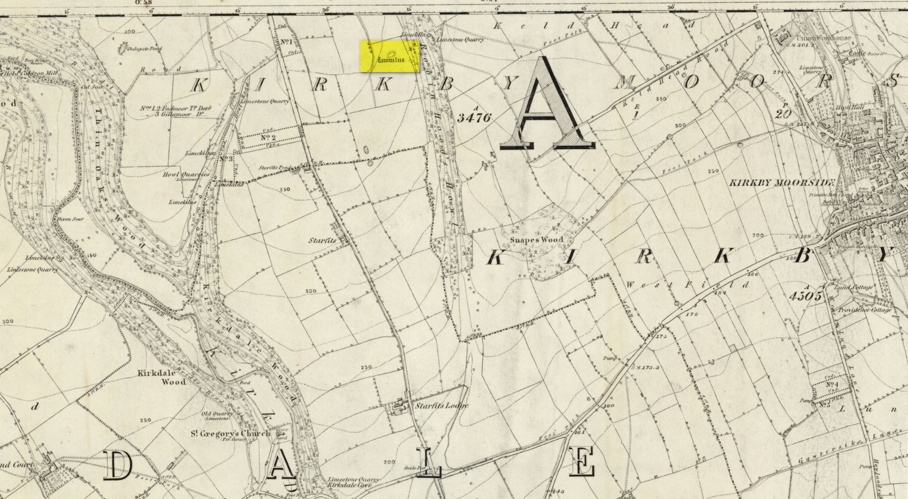
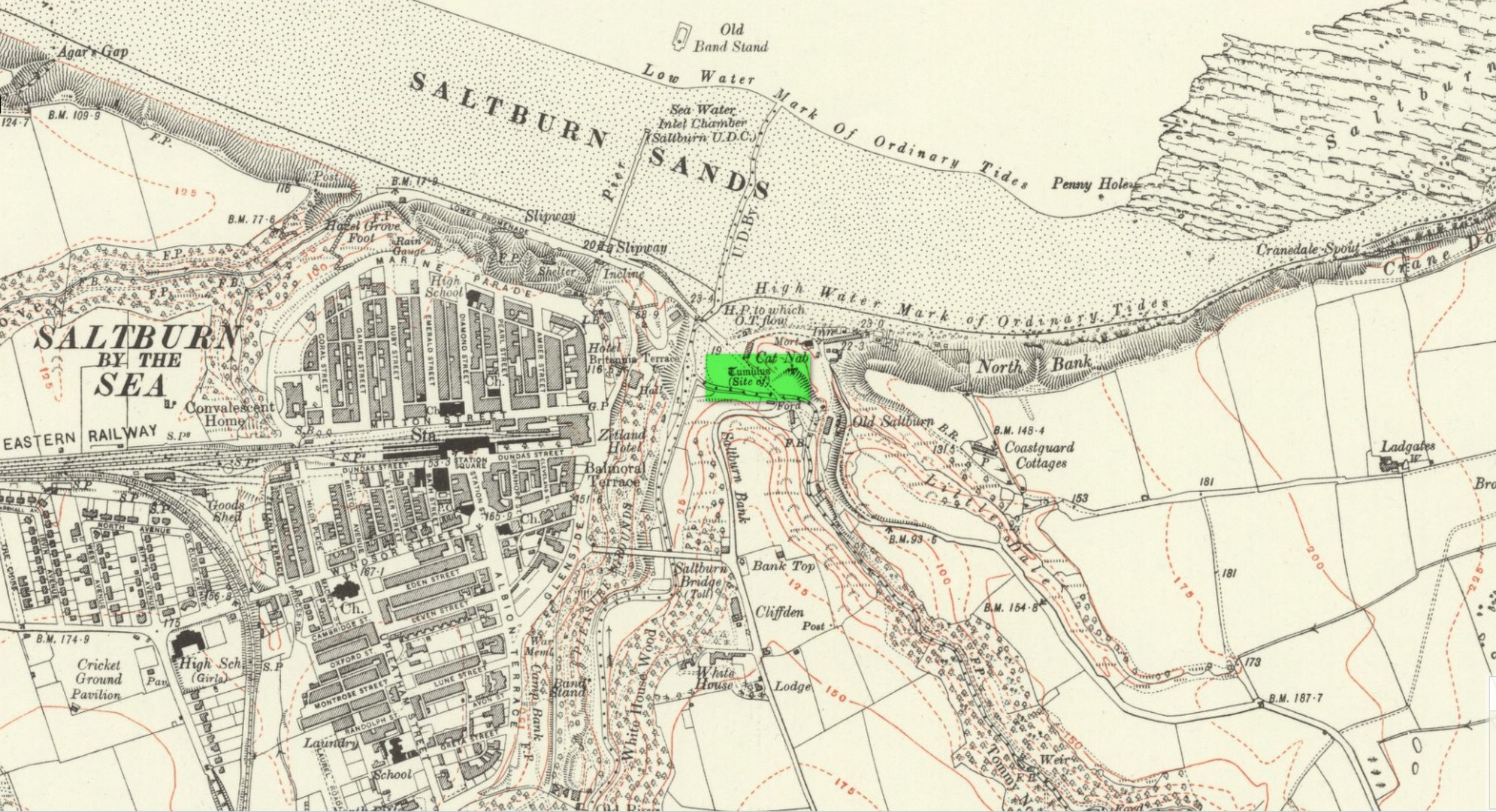
Cist (destroyed): OS Grid Reference – NZ 260 656
Archaeology & History
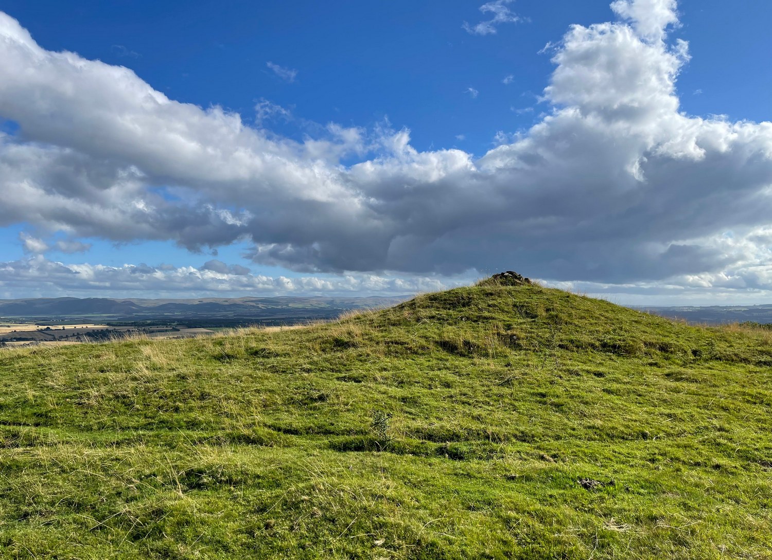
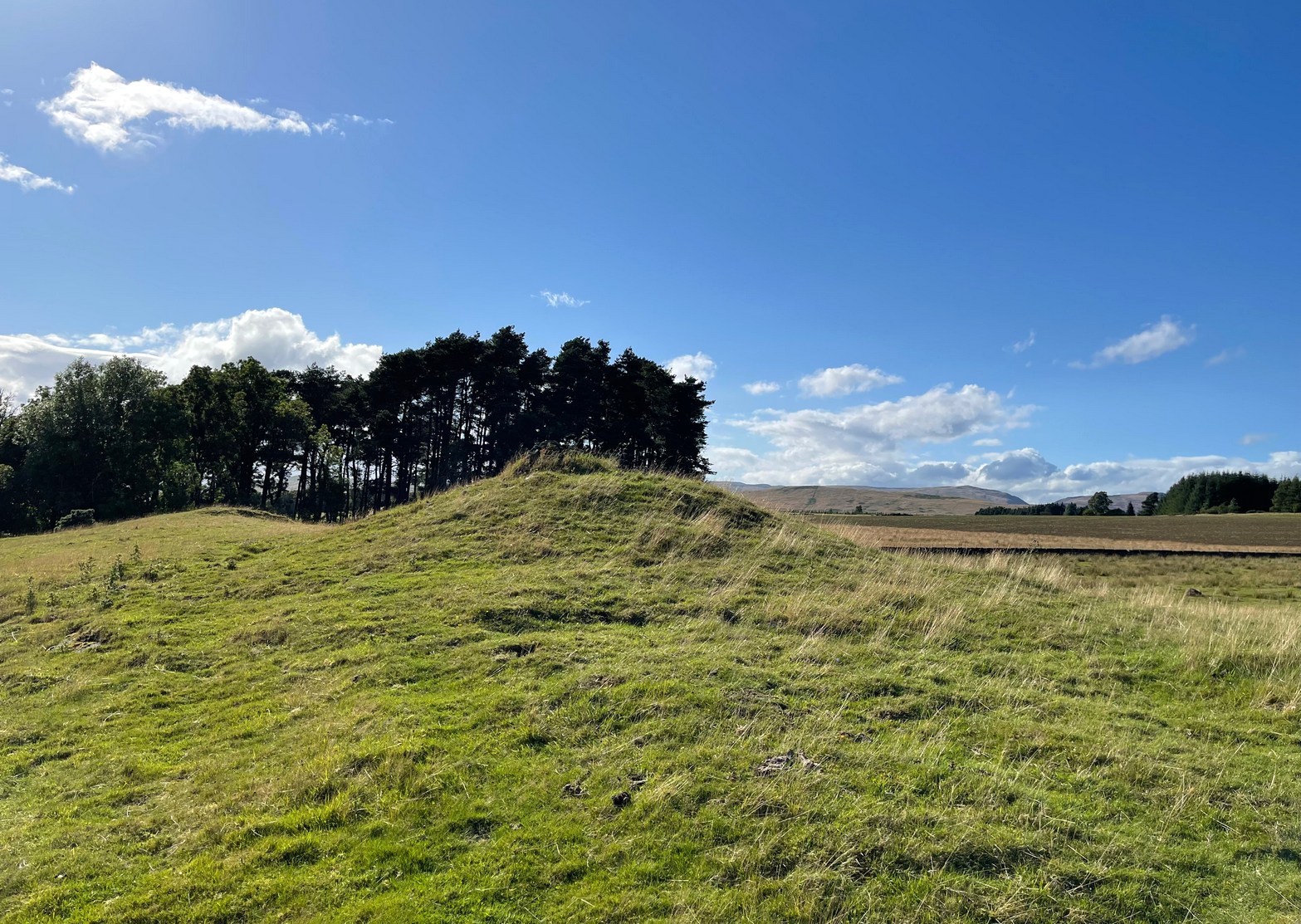
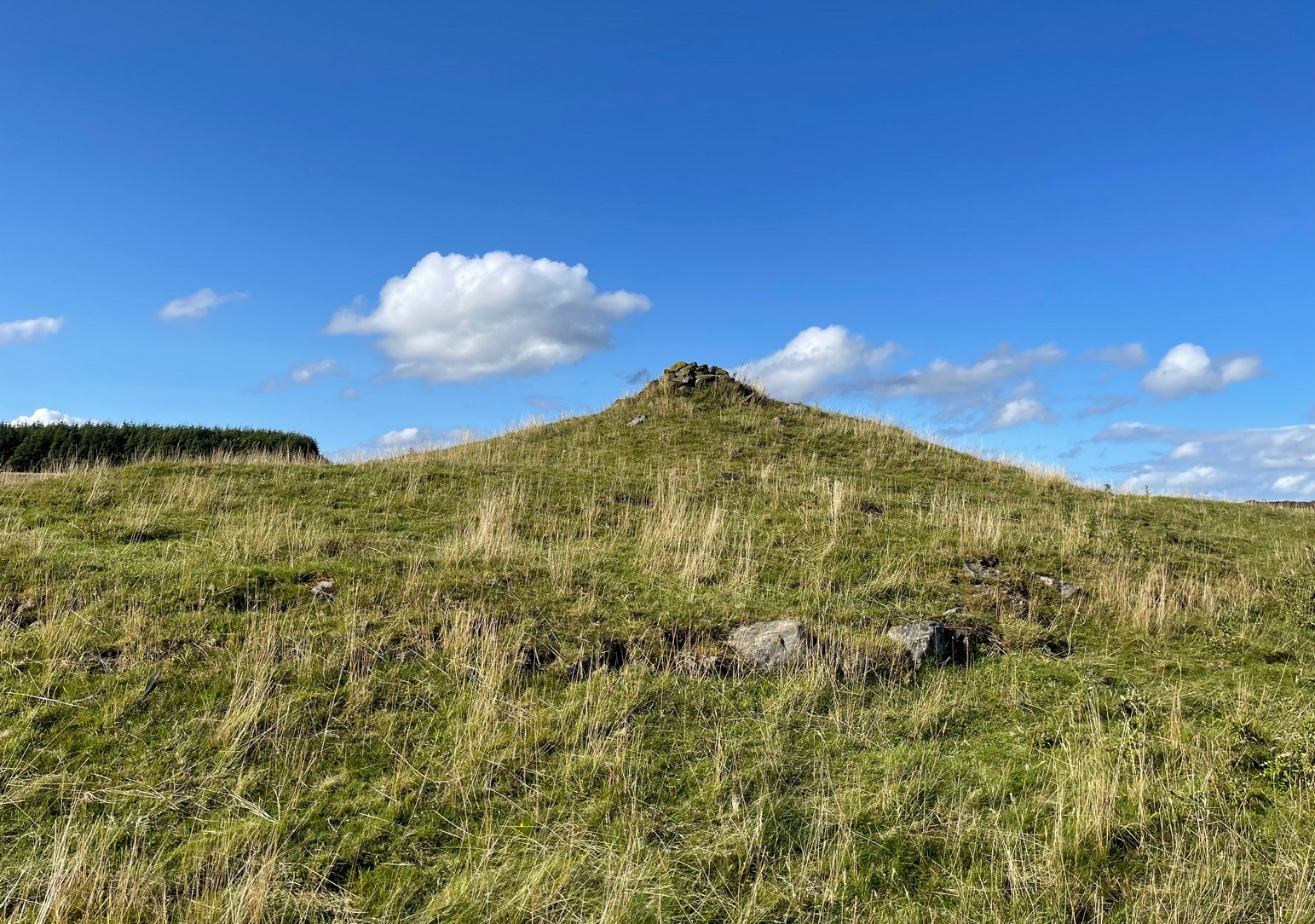
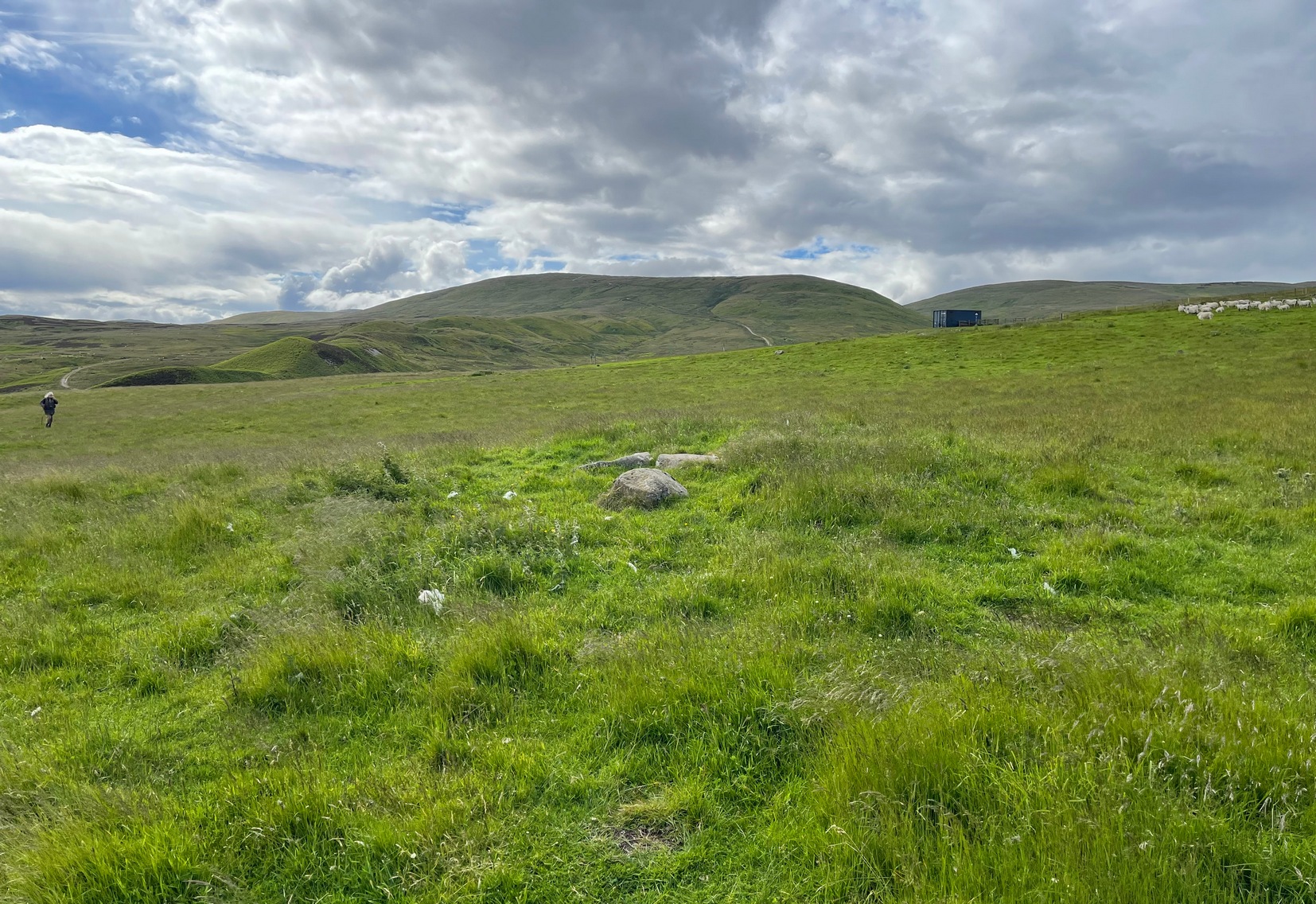
All remains of this prehistoric burial site have obviously long since fallen into only the vaguest of memory, but its incidence deserves reviving for those who may live nearby and seek for a place where our truly ancient ancestors once faired. Here, beneath the modern buildings of homo-profanus, less than a mile north-east of Newcastle city centre, a small prehistoric burial chamber, or cist, was uncovered quite accidentally by a Mr Russell Blackbird (1832) in the first-half of the 19th century. In a letter to the newly-formed (as it was back then) Society of Antiquaries of Newcastle in April of that year he told,
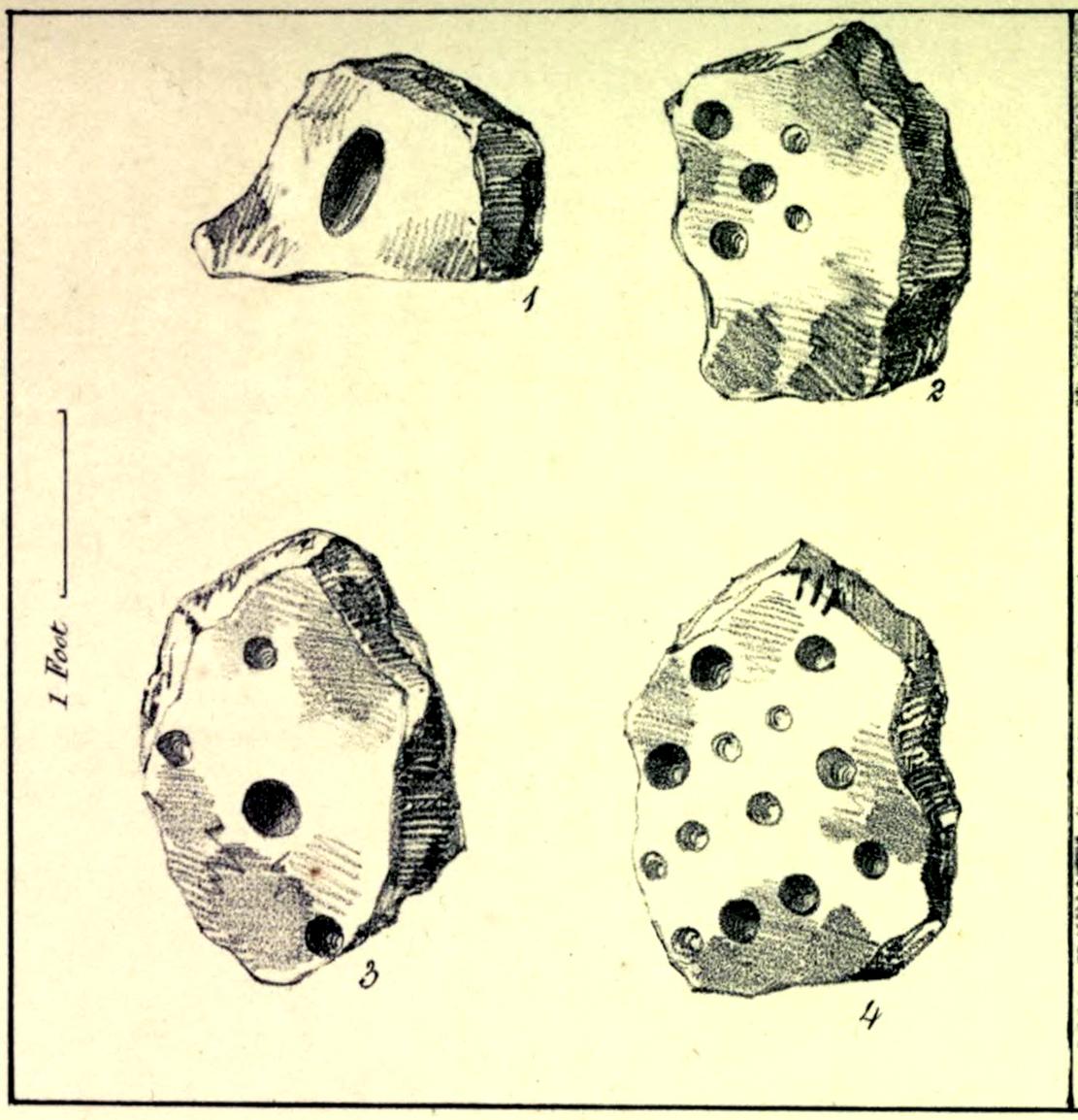
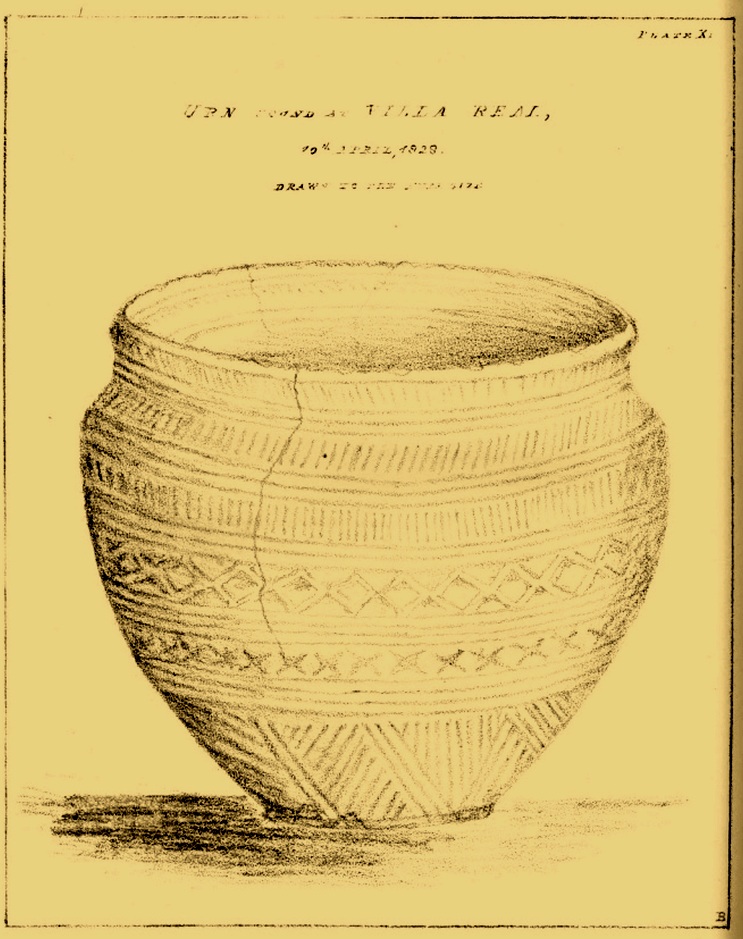
“In trenching some ground for planting, this morning, we discovered a stone vault, 4 feet long by 2 feet wide, and 20 inches deep, deposited in a dry hard marl below the soil, which we were taking out for making the walks in the garden. It contained the bones of a man, the head, in particular, quite perfect, with all the teeth in it. Also a small urn (was found)… There was some red-coloured earth in the urn which the labourers threw out.”
Mr Blackbird sent the antiquarian society a sketch of the urn that he and his colleagues discovered, reproduced here.
References:
- Blackbird, Russell, “Account of the Discovery of a Stone Vault and Urn, at Villa Real, Jesmond,” in Archaeologia Aeliana, volume 2, 1832.
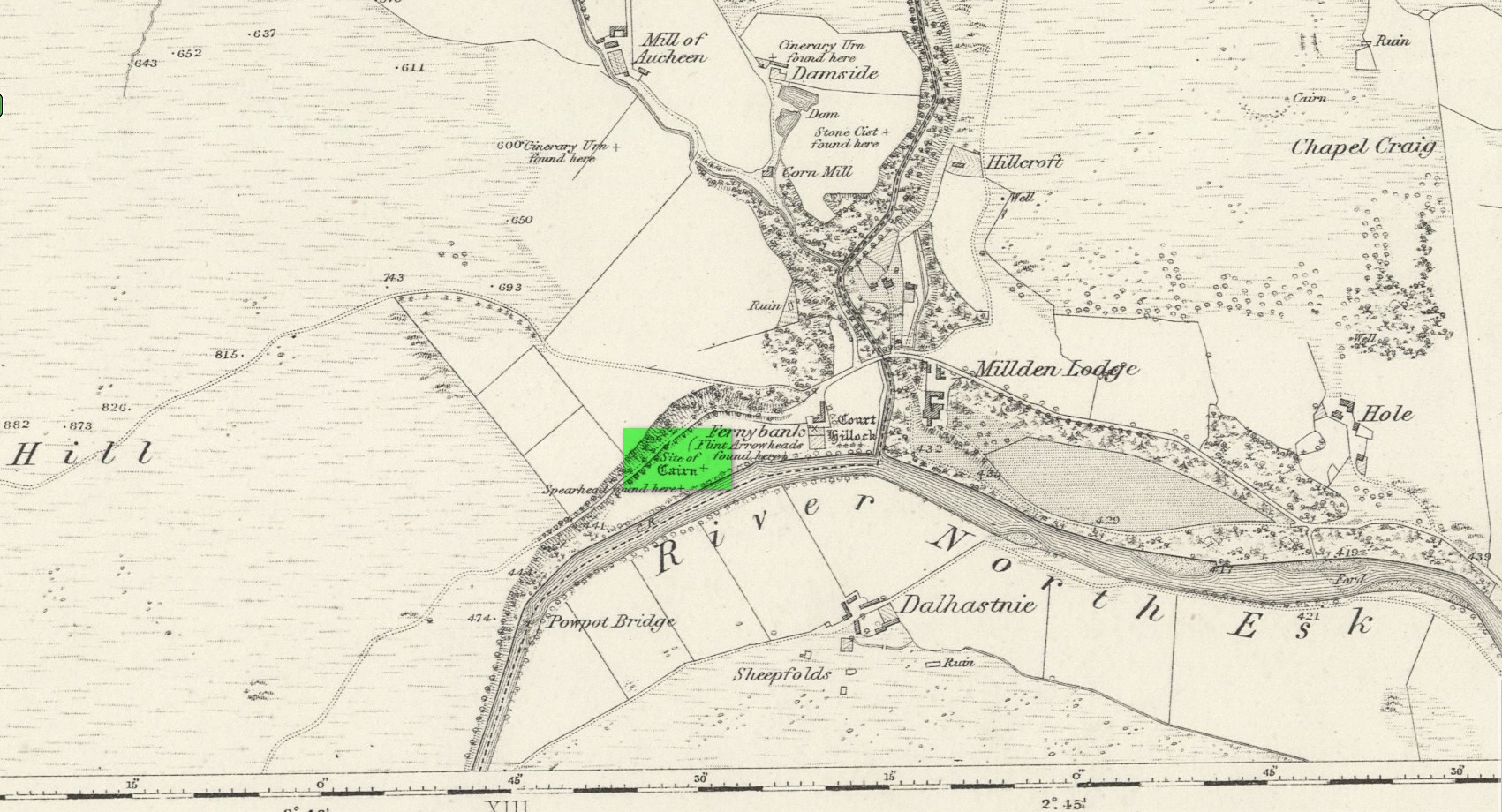
Acknowledgements: Huge thanks for use of the Ordnance Survey map in this site profile, reproduced with the kind permission of the National Library of Scotland.
© Paul Bennett, The Northern Antiquarian
The map could not be loaded. Please contact the site owner.