Sacred Well (destroyed): OS Grid Reference – NO 32898 50521
Also Known as:
- Carling Well
Archaeology & History

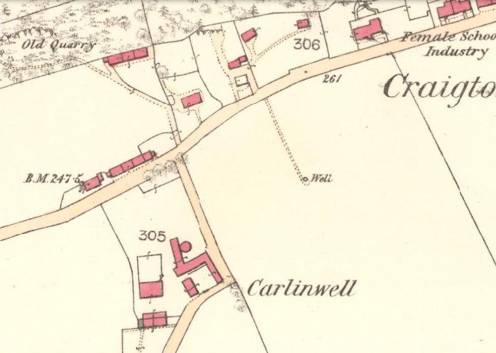
Also known as the Carling Well, this place was shown on the earliest Ordnance Survey maps near the middle of the field next to Carlinwell Farm. On that map (as we see here) the water source had a singular track leading straight from the road to the well and no further. But by 1900 both the track and the well had been covered over and seemingly destroyed. A great pity…for if the place-name and dialect analysis is correct, this was once another sincere site dedicated to the cailleach, or Old Woman, or witch of Gaelic legend: the prima Mater of indigenous Scottish, Irish and northern myth.

The word “carlin/g” is explored in some detail in William Grant’s (1941) magnum opus, giving all possible derivations as found in Scotland. Whilst one definition relates the word to being “the last sheaf of corn in the harvest field”, this element relates to the wider mythic virtues of the cailleach Herself. It’s general form relates specifically to a “woman, generally an old woman and often in a disparaging sense”; aswell as “properly an old crone, but now generally in sense of a big woman.” Again, these are attributes central to the cailleach Herself. The derivation of “a witch” is widely known, and is a term used across the northern lands in stories of pre-christian lore and Creation Myths, specific to the cailleach. One more derivation tells of the word relating to a corruption of Yule plays (possibly relating once again to Nature’s cyclical traditions as enacted by our peasant ancestors which would once more have been attributed to the cailleach) and another saying how the word was used as a derogatory term to insult men!
But unless good evidence to the contrary can be show, this covered site is, in all probability, another example of a place that was dedicated to the primary heathen female deity, or Earth goddess, as She was known throughout the northern lands of England and Scotland.

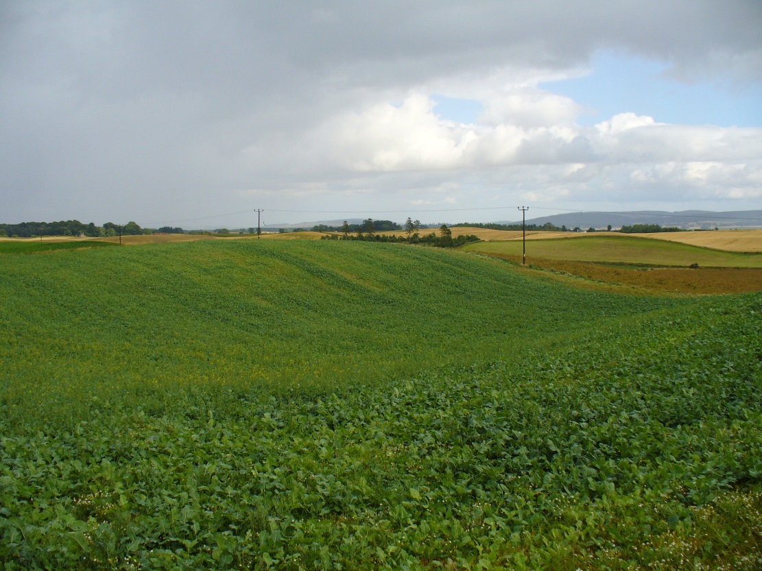
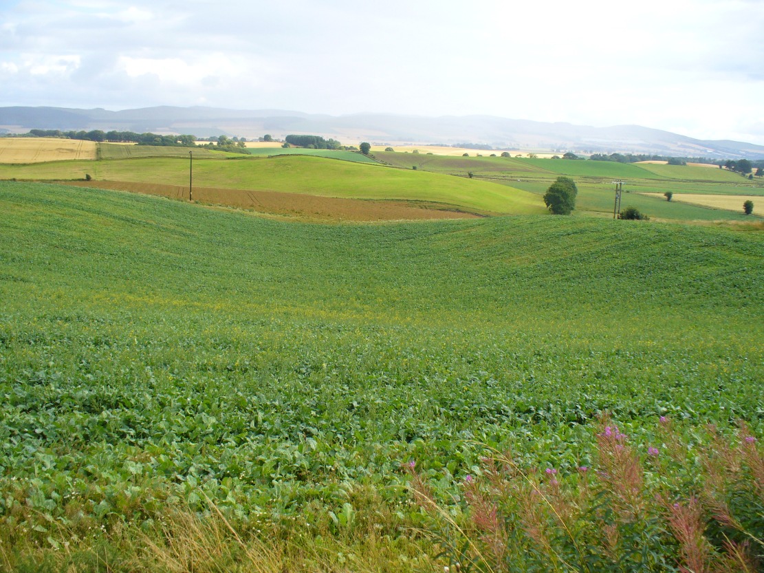
The field in which the well once emerged has a distinct ‘bowl’ shape to it, exactly where the Carlin Well is shown on the map—and this large bowl can be seen clearly from the A926 road above, as shown in the photo here. When we visited the site a week ago, the field was still full of crops so we didn’t explore the site; and we could find no one at the adjacent farm of the same name, who we hoped might have been able to give us further information. If anyone has any further information about the place, please let us know!
References:
- Grant, William (ed.), The Scottish National Dictionary – volume 2, SNDA: Edinburgh 1941.
© Paul Bennett, The Northern Antiquarian
The map could not be loaded. Please contact the site owner.