Cedars Road, Clapham, Surrey

Tumulus (possible):  OS Grid Reference – TQ 2856 7555

Also Known as:

  1. Mount Nod

Archaeology & History

Located on the old boundary line between Clapham and Battersea, what might have been a forgotten tumulus, whose memory was thankfully preserved by the renowned folklorist and historian Walter Johnson (1903), was described in his work on prehistoric Surrey.  He seemed to think it serious enough to add to his survey, where he told us that,

“there still exists, near Cedars Road, Clapham, what may possibly be a round barrow.  It is in the garden of a house opposite St. Saviour’s Church, and is visible to anyone passing along the old, narrow passage called Wix’s Lane.  Mr. J.W. Grover, who brought the matter before the Archaeological Association in 1884, had been struck by the discovery that old maps marked the spot ‘Mount Nod Fields.’  …The mound must originally have been 70 or 80 feet across, but had been tampered with on one side for the construction of an ice-house.  Mr. Grover suggested that the mound may be of Celtic date.  To us, the height—some 12 feet or more—together with marked signs of reconstruction at a comparatively modern date, indicate the necessity of withholding judgment. The original tumulus may simply have been increased in height, but…digging alone could settle the question.”

Local historian Michael Green (2010) has found that there were prehistoric tombs on Clapham Common only 500 yards away, so this one along Cedar Road was not in isolation.  Is the site named on the boundary perambulation records?  Has it been explored since Johnson wrote about it and, if so, has its veracity as a prehistoric tomb been ascertained, or is it merely the remains of some post-medieval creation?

References:

  1. Green, Michael, “Mount Pond, Clapham Common: Archaeology and History“, Clapham Society Local History Series, 2010.
  2. Grover, J.W., “Mount Nod, Clapham,” in Journal of the Archaeological Association, volume 40, 1884.
  3. Johnson, Walter, Neolithic Man in North-East Surrey, Elliot Stock: London 1903.

© Paul BennettThe Northern Antiquarian

Bedford Hill, Tooting, Surrey

Tumulus (destroyed):  OS Grid Reference – TQ 288 726

Archaeology & History

This long lost prehistoric tomb is one of many that has fallen under the destructive hammer of the christian Industrialists in this part of the country.  Located somewhere in the parkland grounds of Bedfordhill House (also destroyed), its memory was thankfully preserved by the renowned folklorist and historian Walter Johnson (1903) who wrote of it in his work on prehistoric Surrey, where he told:

“A few years ago a supposed barrow was levelled in Bedford Park, Bedford Hill, Tooting, and no record taken of the results. The mound was enclosed in the Park for several  centuries, but when the grounds were laid out for building purposes ten or a dozen years since, it suffered rough usage, and was finally destroyed. It was nearly 100 yards long, and about 20 feet in breadth in its highest part.  It ran East and West, and had several trees growing on it before its desecration….  A moat had been made round the mound for about two-thirds of its circuit.  This moat was supplied with water by the Ritherdon, a small stream rising in Streatham.  The name is preserved in the adjacent Ritherdon Road.  The material of the mound was gravel and gravelly loam, which, in the neighbourhood, occurred only in a thin layer, thus forbidding the conclusion that the structure was merely composed of the soil dug out in making the moat. The excavated material would largely be London Clay.  As the genuineness of this barrow was, we believe, called in question after its demolition, when the subject was beyond reconsideration, we mention two shreds of collateral evidence. The ground on which the tumulus stood was about the highest in the district. The name Tooting may also have some bearing, for Mr. Clinch thinks that it was a Celtic settlement where was worshipped the deity known as Taith. (Compare also toot-hill, as exemplified in Tot Hill, Headley, Tothill Fields, Westminster, famous for fairs and tournaments, also Tutt Hill, near Thetford.)”

The ‘toot’ in Toothill however, is ascribed by Gover, Mawer & Stenton (1934) as being the usual “look-out hill”.  Although they do make note of the fact “that there is no hill in Tooting which would make a good look-out place.”  But if this was a large barrow of some type, it would explain the etymological oddity.  Any further information on this site would be welcome.

References:

  1. Gover, J.E.B., Mawer, A. & Stenton, F.M., The Place-Names of Surrey, Cambridge Univserity Press 1934.
  2. Johnson, Walter, Neolithic Man in North-East Surrey, Elliot Stock: London 1903.
  3. Smith, A.H., English Place-Name Elements – volume 2, Cambridge University Press 1954.

© Paul BennettThe Northern Antiquarian


Feizor Thwaite, Lawkland, North Yorkshire

Ring Cairn:  OS Grid Reference – SD 79798 67473

Getting Here

Feizor Thwaite circle (after ‘QDanT’)

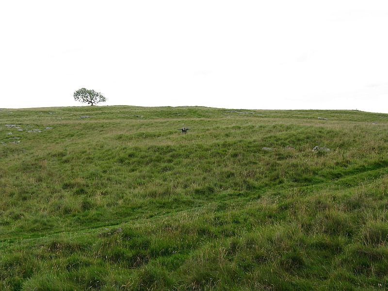
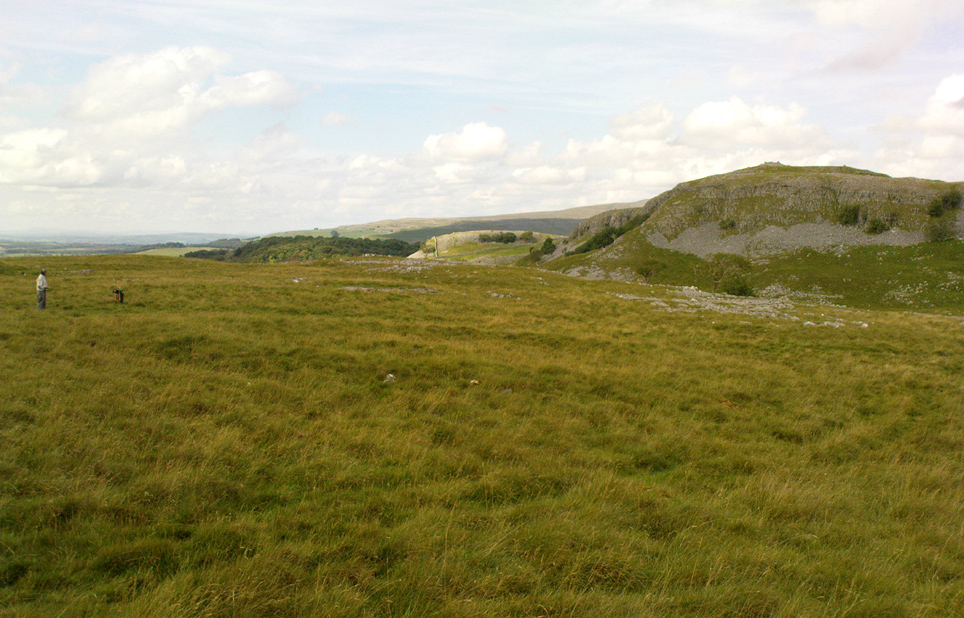
From Feizor village, take the dirt-track south that cuts up between the two cottages and walk onto the level.  From here, the walling bends round and a small cut runs up the slope on your left.  Go up here and onto the top, bearing left again when you reach the footpath near the top of the slope.  Walk along here until the hills open up before you and less than 100 yards along, just on the right-hand side of the path, you’ll notice the overgrown outline of a ring just by the side.  Don’t miss it (like I did!).

Archaeology & History

Danny, Paul and I visited here a few weeks back on a fine sunny day and, my attention caught by some nearby rocks that got mi nose twitching, I just about walked past the place until Danny called me back and said, “Oy – ‘ave y’ not seen this?”  Right under my nose no less!

Feizor Thwaite circle, looking northwest

The site’s a little known circular monument east of Feizor village, less than a mile northwest of the cairnfield above Stackhouse (where lives the Apronful of Stones and other prehistoric friends).  Marked on modern OS-maps as an ‘enclosure,’ the site here is in fact an overgrown cairn circle, typical in size and form of the ones found at nearby Borrins Top, Burley Moor, Askwith Moor and elsewhere in the Pennines.  Measuring (from outer edge to outer edge) 66 feet 6 inches east-west and 59 feet north-south, the remains here consist of a raised embankment of stones, encircling an inner flatter region consisting of many smaller stones beneath the overgrowth of grasses and vegetation.  Locals told me that the some of the cairns up here were explored early in the 20th century by a local man called Tot Lord, but I’m unsure whether he looked at this one.

There are a couple of other smaller circular remains on the same grassland plain, clearly visible from aerial imagery, along with other crop-marks of human activity on this part of the Feizor Thwaite landscape.  More antiquarian analysis could do with focussing here to see what can be found!

Links:

  1. Feizor Thwaite & other nearby prehistoric sites
  2. Feizor Thwaite Computer Art

© Paul Bennett, The Northern Antiquarian


Feizor, Lawkland, North Yorkshire

Standing Stone (destroyed):  OS Grid Reference – SD 78570 67177

Archaeology & History

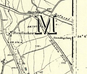
Feizor on 1851 map
Feizor on 1851 map

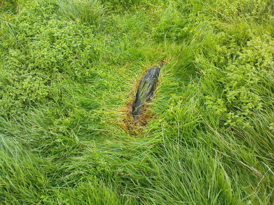
There have been no previous archaeological reference to this site (until now), which was included in early place-names records (Smith 1961) and was also highlighted on the first Ordnance Survey map of the region around 1851.  Probably as a result of the archaeological lacking, the upright stone has finally succumbed to the destructive actions of modern man. When we asked the farmer if he knew owt about any standing stone here, he said he knew “nowt abaat that.”

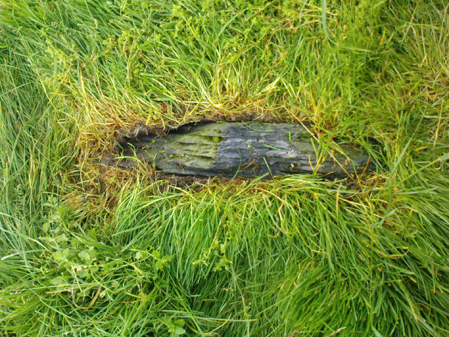
Feizor stone stump
and from another angle

All that can be seen today is the very small stump of stone, just visible above ground level, in the middle of the field.  It’s not easy to spot either, as the grasses grow over what’s left.  But we found the slim remnant of the stump embedded in exactly the spot marked on old and modern maps, measuring 24 inches in length and just 4 inches across at the widest, with what seemed like worn rounded edges at either end.  We were unable to ascertain the depth of the remaining stone in the ground. The stone looks simply as if it’s been snapped at the base.  We have no idea how tall this standing stone was.

If any local people know anything more about this stone, or have any old photos, we’d love to hear from you — and would obviously give due credit for any help on this matter.

References:

  1. Smith, A.H., The Place-Names of the West Riding of Yorkshire – volume 6, Cambridge University Press 1961.

Links:

  1. Feizor stone remnants & walks to nearby prehistoric sites

© Paul Bennett, The Northern Antiquarian