Gray Stone, Burley, Leeds, West Yorkshire

Legendary Rock:  OS Grid Reference – SE 28659 34229

Also Known as:

  1. Giant’s Stone

Getting Here

Originally located at SE 28449 34364, the site is now to be found halfway along Westfield Road, where it meets up with Hollis Place, along the footpath at the back of the school, set back against the walling.  A plaque by the rock kinda gives the game away!

Archaeology & History

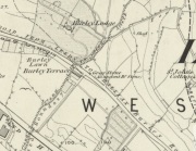
Gray Stone on 1852 map

Gray Stone on 1852 map

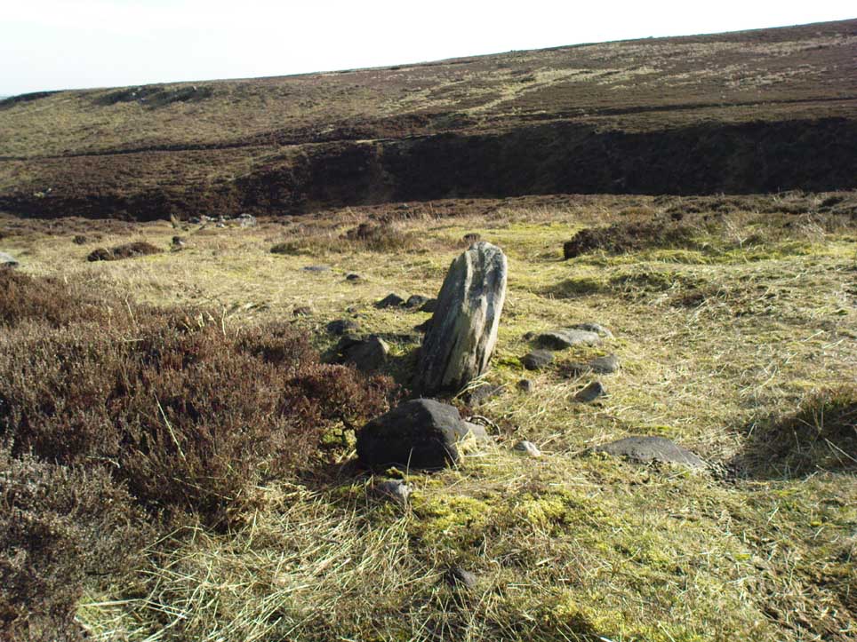
The large vandalised stone you see here—sprayed-painted quite eloquently it has to be said!—is apparently a replica of the old stone which could once be found about 300 yards northwest of here.  Typifying stones of this name—graygrey and variants thereof—the original Gray Stone was an old boundary marker (Smith 1956), and the last reference to it as an archaeological site was by James Wardell (1853), who even in his day said that it was “almost buried in the ground, on the Burley Road.” It is shown on the first OS-map by the roadside, close to the junction of Woodside View and Burley Road, but was said to have been removed at the beginning of the 20th century and moved to its new and present position.  However, somewhere along the line, the original stone has been destroyed and the thing that we see today has taken its place.

The original Gray Stone may have been a standing stone, but we cannot be certain about this.  The present boulder stands about four feet tall and is a rather fat-looking standing stone. You can just about squeeze round the back of it, around which is an incised line which cuts around the stone – but this obviously quite modern. A plaque stands in front of the stone, telling its brief history.  (if anyone can send us some photos of the site that would be great – I’ve gone and lost mine, somehow!)

Folklore

A creation myth of this site tells it to have been made by a giant, who threw the Gray Stone from the appropriately named Giant’s Hill (a supposed old camp, now destroyed), less than a mile southeast of here: an alignment which corresponds closely to the midsummer sunrise. In throwing it, he was said to have left the indentations of his finger-marks in the rock – thought to have been cup-markings.  Examples of other cup-and-ring stones occur a short distance west, at Kirkstall.

References:

  1. Bennett, Paul, The Old Stones of Elmet, Capall Bann: Milverton 2001.
  2. Smith, A.H., English Place-Name Elements – 2 volumes, Cambridge University Press 1956.
  3. Wardell, James, The Antiquities of the Borough of Leeds, John Russell Smith: London 1853.

© Paul BennettThe Northern Antiquarian


Fraggle Rock, Burley Moor, West Yorkshire

Cup-and-Ring Stone:  OS Grid Reference — SE 15094 43502

Archaeology & History

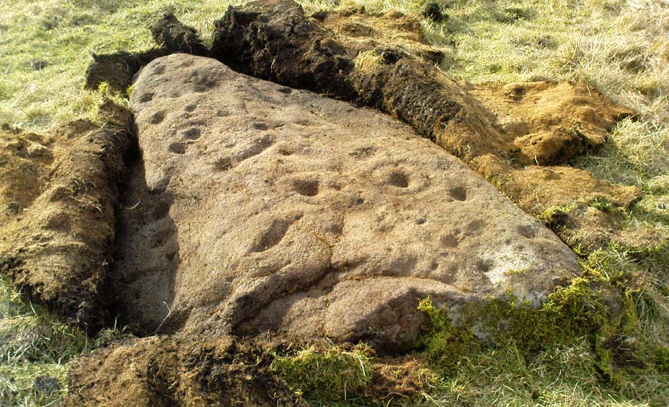
Early photo of the carving
First photo of the carving

This carving is one in a cluster of at least 17 previously unrecorded petroglyphs, uncovered nearly two years ago on a Northern Antiquarian bimble on the northern edge of Rombald’s Moor.  The carvings were found as a bi-product of uncovering a previously undiscovered cairn circle, close to the Twelve Apostles stone circle.  In assessing and exploring the newly-found circle, it was noticed that a small opening in the near horizon highlighted a rise in the landscape barely a mile away.  This ‘opening’ in the land was not visible if you walked 25 yards either side of the cairn circle – but was very notable at the circle itself.

“We need to have a look at that site,” I said.  “It’s position looks to have been relevant to this circle.” (or words to that effect) And a couple of weeks later we met up and walked to the place in question.

Fraggle Rock carving, looking west
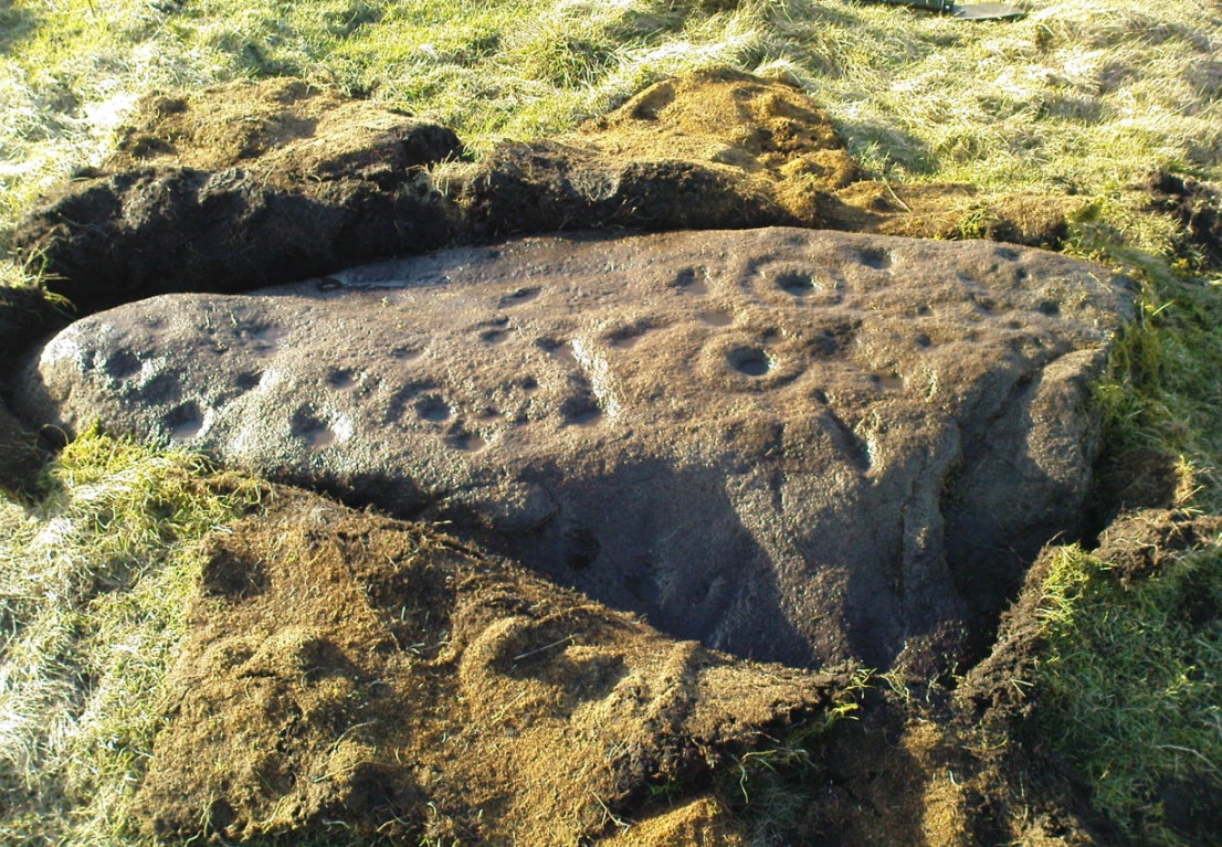
Fraggle Rock carving, looking south

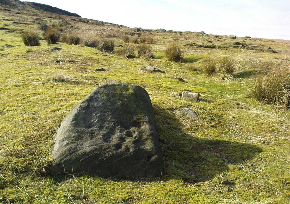
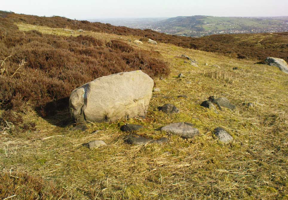
Within five minutes we came across a couple of previously unrecorded cup-marked stones, of simple design, right in line with the cairn circle.  As we walked around this spot, then headed back in the direction of the circle, a cluster of small stones were noticed on the slope.  One had what looked like a single cup-marking near its edge, but the rest of the rock was completely covered in vegetation.  Paul Hornby and Michala Potts had, by now, already found several other previously unrecorded cup-marked stones close by; but as I carefully rolled back the vegetation at the edge of this particular rock, cups-and-rings and carved lines seemed to be covering most of its surface.  It was a good one!

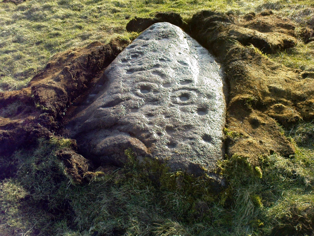
Face on the Fraggle Rock

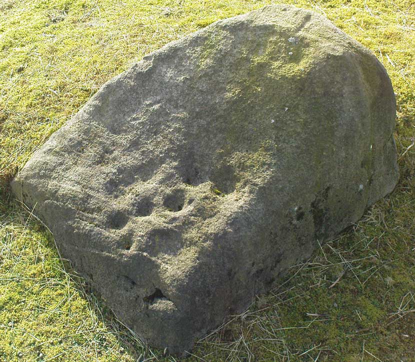
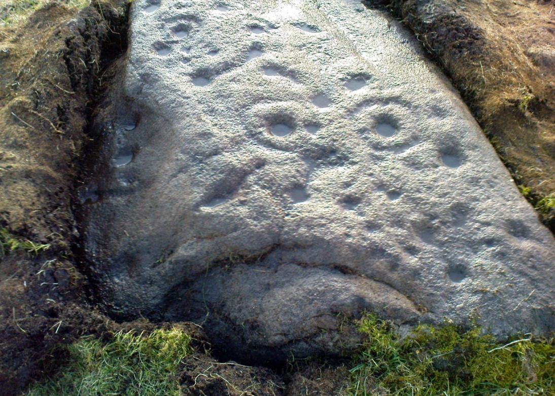
We called it the Fraggle Rock after noticing that when you look at the stone from one end, the two main cup-and-rings are likes two large eyes carved above a large natural down-turning ‘mouth’ feature, similar to some of the creatures’ faces on the muppets or the similar kid’s TV show, Fraggle Rock! (sad aren’t we!?)  The photo here shows you what we mean.

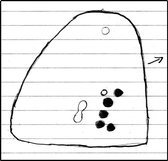
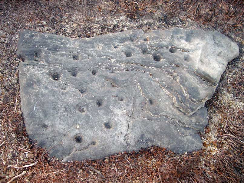
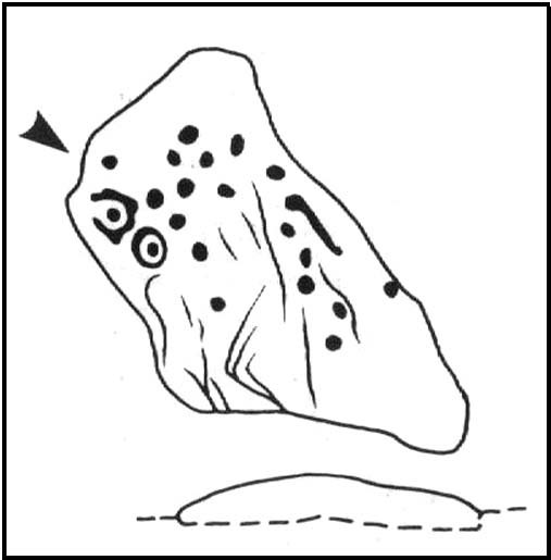
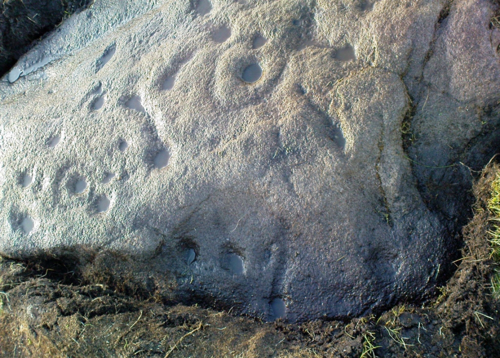
The primary design consists of at least 3 cup-and-rings, 2 partial cup-and-rings, 28 cups and several carved lines along which some cup-markings are linked to others.  The most notable of the carved lines is the longest (barely visible in the photos), running from a single cup-mark at the southernmost rounded end of the stone, almost straight and parallel with a natural ridge or dip along the rock, until it meets the largest of the cup-and-rings (one of the eyes on the Fraggle’s face!).  Don’t ask me why, but for some reason this long faint line seemed the most perplexing element of the carving.

Eastern edge, with cups at ground level

Most of the design is carved on the upper face of the stone, but a small part of the rock dips into the ground on its eastern side and a small group of cups and a single carved line, in a very good state of preservation, are etched right at the edge of the stone.  Unusual.  Another faint cup-and-ring is 10 yards south; and a fascinating cup-and-lines stone, with at least four long carved ridges running like hair from the top of the stone into the Earth, is 20 yards west of this.

References:

  1. Jack, Jim, “Old Fraggle Rock is Found on Burley Moor,” in Ilkley Gazette, March 4, 2013.

© Paul Bennett, The Northern Antiquarian 

Little Skirtful Carvings, Burley Moor, West Yorkshire

Cup-Marked Stones: OS Grid Reference – SE 13830 45195

Eastern edge of Little Skirtful

Also Known as:

  1. Carving nos. 391a, 391b, 391c, 391d
  2. Little Skirtful of Stones’ Carvings

Getting Here

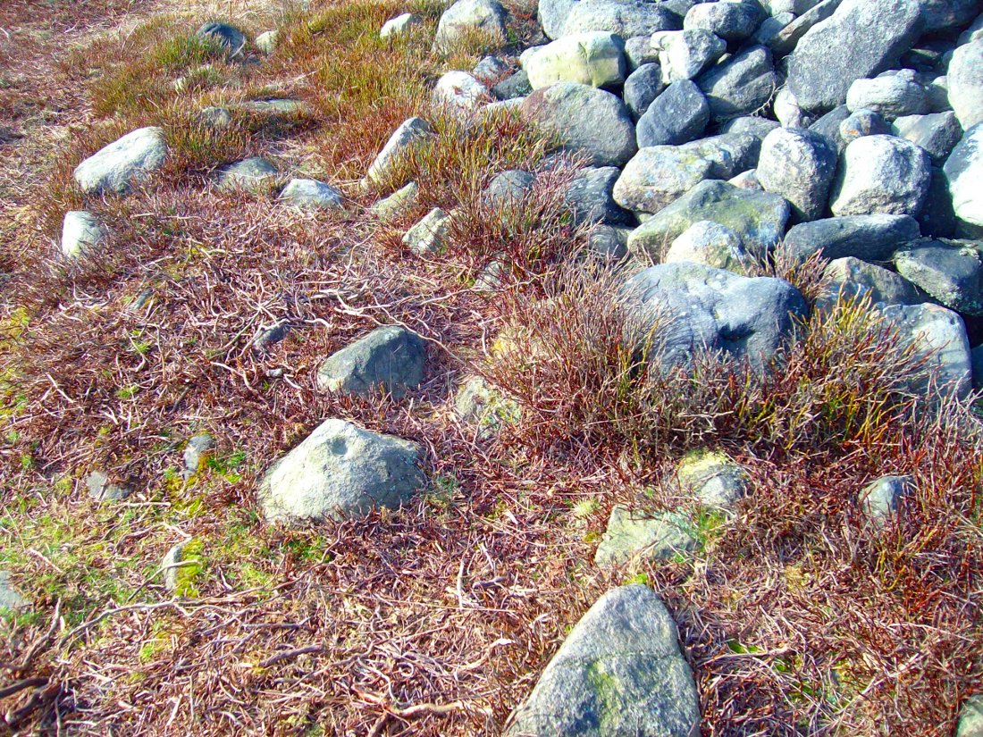
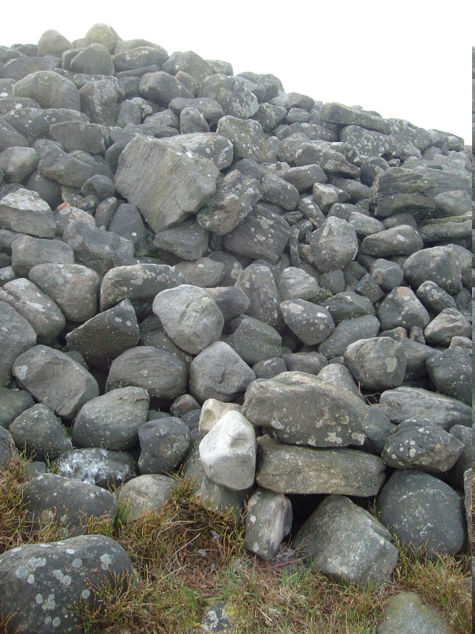
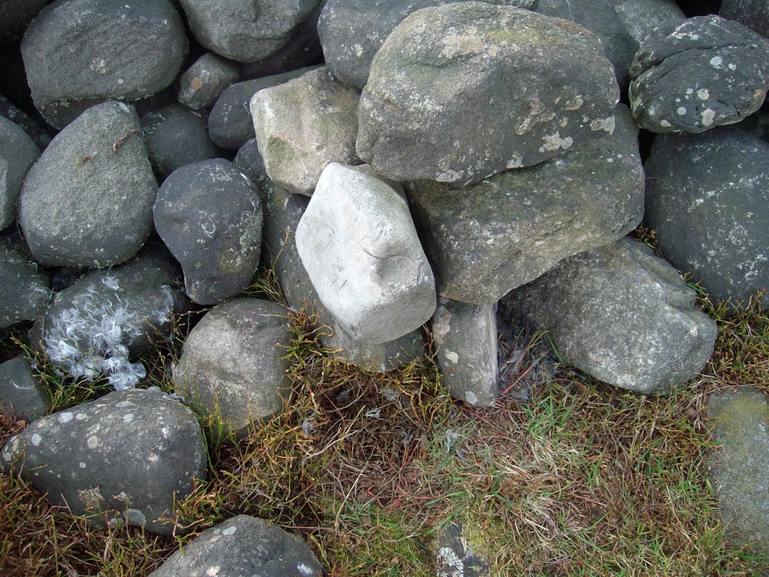
Follow the directions to reach the Little Skirtful of Stones giant prehistoric cairn. Once here, look for the singular rocks out of the many thousands which make up the giant cairn, mainly from the middle to the northern-half of the cairn, and you’ll find them amidst the mass!

Archaeology & History

Cup-marking near the centre of the cairn

Despite the task sounding difficult, it’s not too hard locating the cup-marked rocks within this giant cairn. As I recall there should be five of them, though the Boughey & Vickerman (2003) survey only list four and I only have photos of four of them as well…so I reckon age is probably getting to me at last!  There could very well be more of them amidst this massive tomb.  But we certainly can’t rely on the Boughey & Vickerman (2003) survey for the carvings at this site as they give the wrong grid references for each of the cup-markings listed, with them all being a kilometre east from the site of the tomb itself! Awesome! God knows what their cartographer was on when he did the profiles for these carvings! (there are plenty of spliff-butts scattered over this moor…..)  Not only that, but the position they cite of the relative cup-markings within the cairn are also wrong.

Another portable cup-marking
Cup-marking at outer edge of Little Skirtful

But for those of you who like to know the archaeological data, here’s what was said: Carving 391a is a “small rock towards SW edge of cairn, with single worn cup”; but this stone is actually closer to the northern section of the cairn.  Carving 391b was told to be a “small dome-shaped rock at extreme S edge of cairn with single, small clear cup at top of dome.”  This again is more on the northern section of the cairn, away from the centre.  Carving 391c was described as a “small oval, rounded rock at N edge of cairn, with single, broad, shallow worn cup.”  Whilst carving 391d which was told to be a “small rock at SSE edge of cairn, with single small worn cup.”  However, we have to take into account that any errors about their position may simply be down to the fact that the small rocks have been moved.

Smoothed cup-marked stone
Close-up of different rock-type

As you’ll see in the photos here, one of them is actually near the very centre of the cairn, with the cup-marking etched into the edge of the small rock itself.  I’m not quite sure if this is the additional fifth carving in the cairn, or whether it’s one of those wrongly ascribed as being in another position.  It’s hard to tell, as the local Ilkley Archaeology team don’t publish their findings and information on-line as they should do and unless you’re in their little club they’re hard to get info out of.  So this will have to do for the time being I’m afraid.  Also note how one of the cup-marked stones is of a rock-type different to the local millstone grit.

Folklore

The creation myth of the Little Skirtful itself tells that the giant Rombald (who gives his name to the moor) was in trouble with his wife and when he stepped over to Almscliffe Crags from here, his giant wife – who is never named – dropped a small bundle of stones she was carrying in her apron. Harry Speight (1900) tells us of a variation of the tale,

“which tradition says was let fall by the aforementioned giant Rumbalds, while hastening to build a bridge over the Wharfe.”

Variations on this story have said it was the devil who made the site, but this is a denigrated christian variant on the earlier, and probably healthier, creation tale. Similar tales are told of the Great Skirtful of Stones, 500 yards south.

The cluster of portable small stones with single cup-marks on them relates to traditions found in other cultures in the world where, usually, women would carry such items in their aprons and deposit them at or on the tomb, in honour of the ancestor or spirit known to be resident at the sacred site.  The folklore found at the Little Skirtful (and Great Skirtful too) of Rombald’s wife dropping the rocks here and forming the giant tomb, probably derive from variants of this same honorary practice.

References:

  1. Bennett, Paul, The Old Stones of Elmet, Capall Bann: Chieveley 2001.
  2. Boughey, Keith & Vickerman, E.A., Prehistoric Rock Art of the West Riding, WYAA 2003.
  3. Cowling, Eric T., Rombald’s Way, William Walker: Otley 1946.

© Paul Bennett, The Northern Antiquarian

Woofa Bank Cairn, Burley Moor, West Yorkshire

Cairn:  OS Grid Reference – SE 1376 4542 

Getting Here

Newly found cairn, looking north

Follow the same directions to reach the Little Skirtful of Stones giant cairn.  From here, walk 200 yards straight north until you hit the footpath at the top of the Woofa Bank crags. Walk left along the footpath and where it begins to slope downhill, note the large boulder right by the path and another 30 yards further on.  Between these large rocks, turn left into the heather some 20 yards.  You’re damn close!

Archaeology & History

Close-up of covered tomb

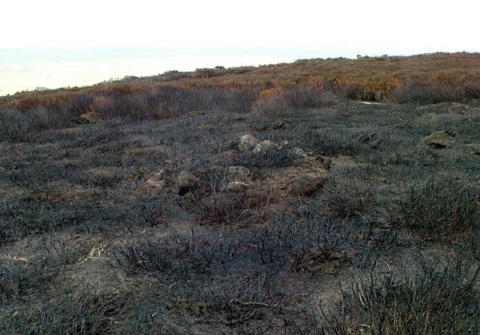
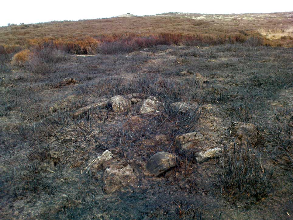
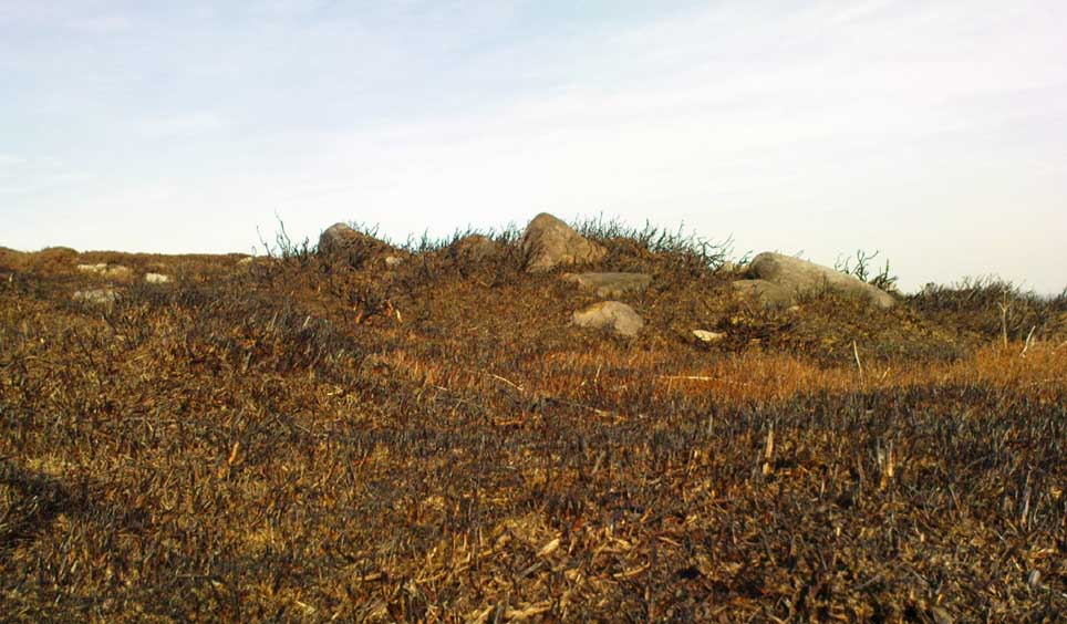
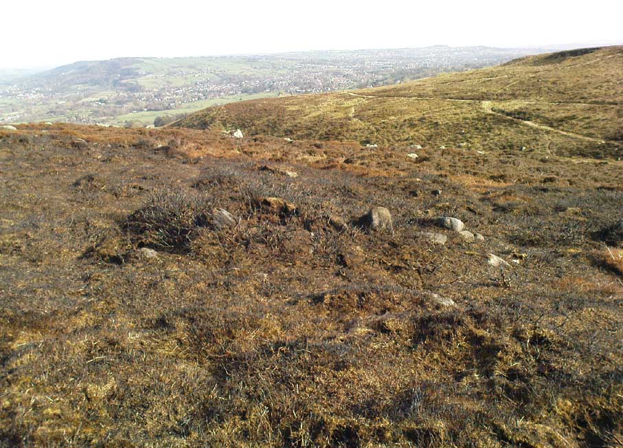
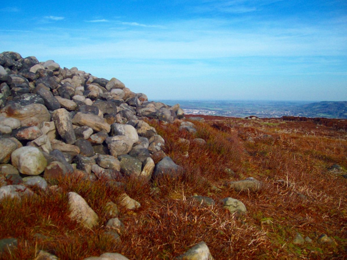
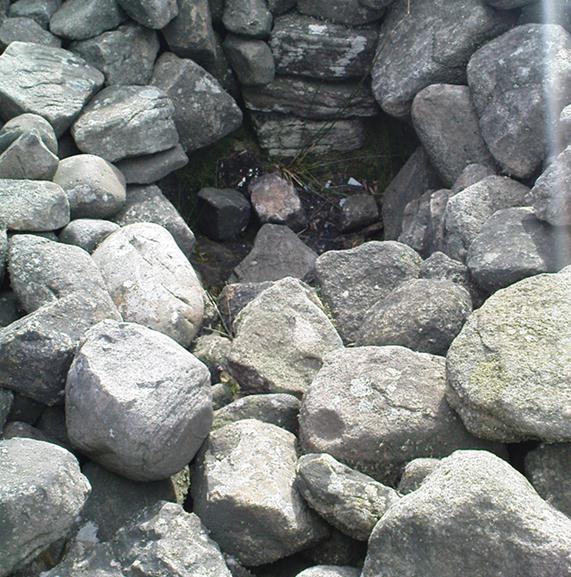
Rediscovered on March 17, 2012, this small untouched prehistoric stone cairn, measuring 3½ yards by 2½ yards across and about 1 yard tall, was found thanks to the moorland heather being burnt, which has stripped the covering vegetation from the monument.  It rests just a couple of yards away from a small, almost dried-up stream, seemingly in isolation.  There are scattered remains of medieval workings nearby, between here and the Little Skirtful—some of which have intruded upon and destroyed earlier sites—but this particular cairn has a prehistoric pedigree.  An excavation here would be worthwhile sometime in the future; but the problem is, there’s so much neolithic and Bronze Age material all over this area, it’s hard to know where to start!

© Paul Bennett, The Northern Antiquarian

Green Crag Slack (374), Burley Moor, West Yorkshire

Cup-Marked Stone:  OS Grid Reference – SE 13891 45757

Also Known as:

  1. Carving no.199 (Hedges)

Getting Here

The faint cup-marks

From Ilkley, take the same directions to reach the Haystack Rock; then walk east along the edge of the moor, past the Pancake Stone and keep along the footpath for more than 800 yards till you see the large cairn above-right of the footpath by about 20 yards, a short distance before you’d hit the Rushy Beck.  Walk to the cairn, and then past it along the path (west) heading onto the moor for another 30-40 yards, checking the rocks on the ground thereby.  You’ll find it!

Archaeology & History

Scruffy sketch I did of the stone, c.1982

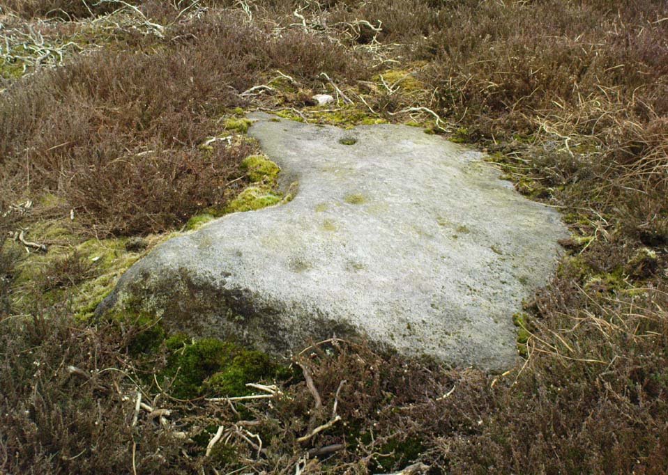
Described in John Hedge’s (1986) survey as a “long, low, smooth grit rock, partly covered with heather. Seven clear cups”, we first found this carving when we were out bimbling on one of our hundreds of ventures on these moors as kids—on this occasion, as I recall, seeking out a cup-and-ring stone that Stuart Feather discovered and mentioned in an early Yorkshire Archaeology Journal.  Less than a yard away from the one which Mr Feather described (the overgrown cup-and-ring stone no.375) was this curvaceous female rock, with seven simple cup-markings, mostly on its northeastern side.

When the heather is low in this area, you can clearly make out extensive remains of prehistoric walling 11 yards east of the cup-marked stone, running north-south.  This eventually meets up with another line of walling that runs east-west and bends back around on the western sides of the carving about 20 yards away, seemingly encircling it.  This enclosure will be described in greater detail at a later date.

References:

  1. Hedges, John (ed.), The Carved Rocks on Rombalds Moor, WYMCC: Wakefield 1986.
  2. Boughey, Keith & Vickerman, E.A., Prehistoric Rock Art of the West Riding, WYAS: Wakefield 2003.

© Paul Bennett, The Northern Antiquarian

Chair Stone, Burley Moor, West Yorkshire

Cup-Marked Stone:  OS Grid Reference – SE 14395 45222

Getting Here

Cupmarked stone west of Coldstone Beck

Fom Burley train station, take the road uphill onto the moor edge, turning right for a coupla hundred yards where the road runs up the side of the Coldstone Beck. Walk up the stream until you hit the footpath that takes you onto the moor proper, on the righthand (west) side.  Once on the level, note scatter rocks on the near horizon above you and the faded track that runs up towards them. Walk up here, keeping your eyes peeled for the small chair-shaped rock immediately left of the pathway. You can’t really miss it.

Archaeology & History

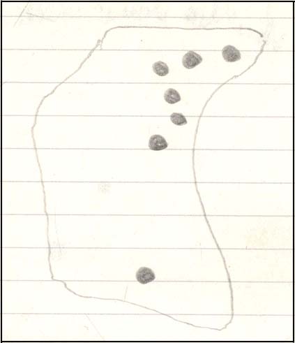
One of an increasing number of carvings that I’m finding have curiously not been included in the general rock art surveys of the region (Boughey & Vickerman, 2003; Hedges 1986).  We first found this—Jon Tilleard and I—when we were foraging for such carvings in the 1970s and early ’80s and the scruffy drawing here is taken from one of my early notebooks (1981) that explored the archaeological remains on these moors.

Scruffy drawing of the stone, c.1982
Close-up of cup-marks

The name of the stone comes from the slightly chair-like shape of the rock on which the blatantly obvious cup-markings can be seen.  There are at least six of them, with a possible seventh near the top of the rock.  Some curious eroded markings can still be to the left-side of the main cups, but I’m unsure as to their nature and they may be just geophysical. Above and around this rock are a number of medieval pit workings, quarrying and scatterings of other rocks, none of which have been found to possess cup-and-rings.

References:

  1. Bennett, Paul, Of Cups and Rings and Things, unpublished: Shipley 1981.

© Paul Bennett, The Northern Antiquarian

Coldstone Beck Cairn (02), Burley Moor, West Yorkshire

Cairn:  OS Grid Reference – SE 1421 4512

Getting Here

Small stone & cairn spoil, looking east

From Burley train station walk up the road, turning right as you meet the moorland road.  Go on for a couple of hundred yards until you run parallel with the Coldstone Beck stream. Walk up here for about 800 yards until the full moorland begins to open up ahead of you. Walk up the slope on your right (west) about 30 yards above the first of the ruined grouse-butts, towards the scattered mass of rocks before the small crags.  The small standing stone on the edge of the ruins will catch your attention!

Archaeology & History

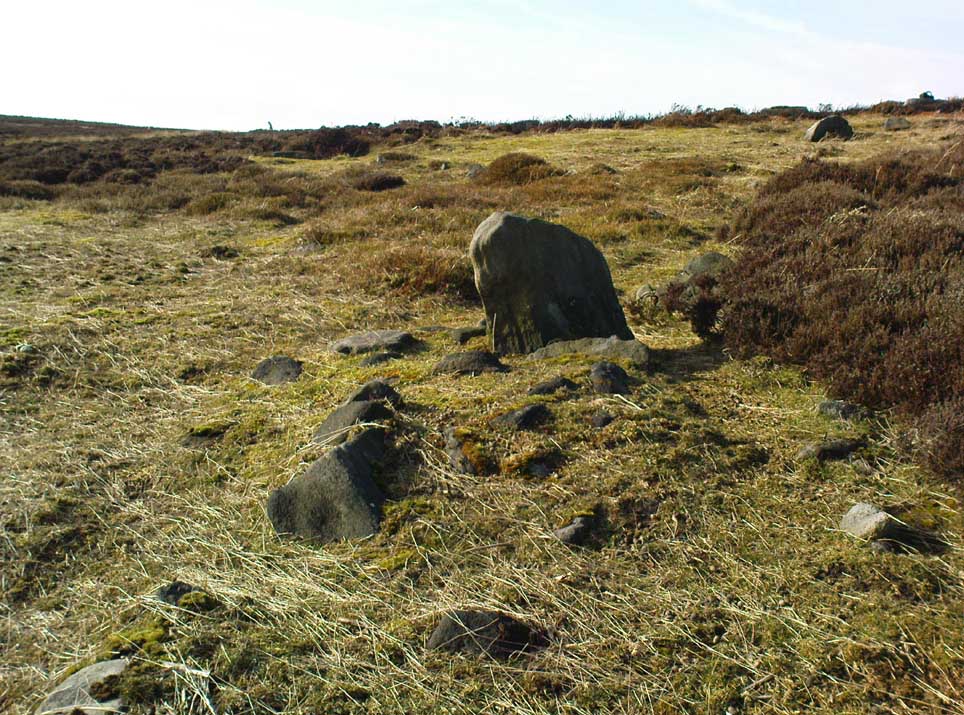
A fascinating small cairn which initially had us puzzling as to its very nature. Was it a cairn? Or was it a section of prehistoric walling? The former would seem to be the more likely, though an excavation here would obviously be helpful.

Standing stone, cairn-spoil & Coldstone valley to rear
Coldstone Cairn 2, looking west

Scanning the Earth hereby we found no surface remains, merely a section of disturbed ground where the small stones were placed and, obviously, removed in some number not too long ago.  Stones from the cairn had obviously been robbed to construct the grouse-butts close by (something the local council officials seem to find acceptable).  It would appear to be consistent in structure with many of the other cairns on this moorland, some of which are neolithic, but the majority date from the Bronze Age.*  This particular cairn seems to be Bronze Age in nature.

The most defining element in the cairn is the small standing stone, less than two feet tall above ground level, within the southwestern area of the denuded tomb.  No carvings could be noted on the stone, nor marks of any significance on the other smaller stones.  Another cairn of similar age but in much better condition—the Coldstone Beck Cairn 01—can be seen when the heather’s burnt back, some 20 yards north.

* More than 100 singular small cairns exist around here, most of which have never been archaeologically assessed.

© Paul Bennett, The Northern Antiquarian

Coldstone Beck Cairn (01), Burley Moor, West Yorkshire

Cairn:  OS Grid Reference – SE 1421 4514

Getting Here

Coldstone Beck Cairn 1, looking north

From Burley train station walk up the road, turning right as you meet the moorland road.  Go on for a couple of hundred yards until you run parallel with the Coldstone Beck stream. Walk up here for about 800 yards until the full moorland begins to open up ahead of you. Walk up the slope on your right (west) about 40 yards above the first of the ruined grouse-butts, towards the scattered mass of rocks before the small crags.  You’ll have to scout about a bit when the heather’s deep, but it’s there, hiding away!

Archaeology & History

Cairn in centre, looking east towards Otley Chevin

Like many prehistoric tombs on this moorland, this one has never before catalogued.  Found about 20 yards north of Coldstone Beck Cairn 02, this larger and more complete megalithic structure, probably Bronze Age in nature, is of the traditional construction for cairns in this region: of small to medium-sized rocks that can be carried quite easily and deposited over a specified site, beneath which we’ll find either a ruined clay urn, or skeleton, or ashes.

The cairn measures just over 3½ yards in diameter east-west, and 3 yards north-south; it rises nearly a yard tall above ground level at the centre.  Much of the internal construction has been compacted through centuries of soil and vegetational growth, with only the outer rocks of the structure being slightly loose.  There are several other prehistoric cairns of the same size nearby, none of which have been recorded by the regional archaeologist round here.

© Paul Bennett, The Northern Antiquarian

Woofa Bank (352), Burley Moor, West Yorkshire

Cup-and-Ring Stone:  OS Grid Reference – SE 13611 45616

Also Known as:

  1. Carving no.183 (Hedges)

Getting Here

Deep cups on this Woofa Bank carving

Follow the same directions as if you’re gonna visit the Idol Stone carving.  From here, keep walking uphill until your reach the rocky crags on the slope above.  Go left (southeast) along the small footpath that runs along the top of this ridge for 350 yards (320m) and, where the path begins to very gradually slope back downhill a little, go sharp left, downhill for 50 yards, where a couple of large rocks stand out. Before one of these, low down in the heather, you’ll find this curious cup-and-ring stone.

Archaeology & History

This is a lovely cup-and-ring stone, seemingly recorded for the first time by fellow rock-art student Stuart Feather (Radford 1968) in one of his numerous ramblings over these moors.  It’s a difficult habit to break once the bug bites!  The rock itself is unusual, possessed of undulating geophysical waves or ripples across its surface, similar to a cluster of others a couple of miles west near the very top of Rombald’s Moor.  The curvaceous feature alone would have given this stone a spirit-nature of its own, different from the others in this area — though we may never know what that might have been.

Primary design (after Hedges)

The cups carved onto this rock are cut much deeper than most other prehistoric carvings along this ridge and, for some reason or other, give an immediate impression of having been painted and coloured in lichens or other natural dyes, to encourage or awaken the mythic history within and around the stone.  It’s a formula that occurs worldwide and needs serious consideration, not just here, but at many other outcrop carvings in Wharfedale and much further afield.

The carving was described in John Hedges’ (1986) fine survey as a,

“Fairly small flat rock, level with the ground, sloping slightly in heather and crowberry, its surface layered in waves which appear to have been incorporated in the design which covers the rock.  About 25 cups, some very deep and some showing pick marks, three are enclosed in rings, one of which has three cups in its circumference and a groove leading from it to edge of rock.”

Many other carvings scatter the moorland plain of Woofa Bank — some recorded, others not — in a region rich in Bronze Age and probably earlier cairns. We’ll add all their profiles here as time floats by…

References:

  1. Bennett, Paul, Of Cups and Rings and Things, unpublished: Shipley 1981.
  2. Boughey, Keith & Vickerman, E.A., Prehistoric Rock Art of the West Riding, WYAS: Wakefield 2003.
  3. Hedges, John (ed.), The Carved Rocks on Rombalds Moor, WYMCC: Wakefield 1986.
  4. Radley, J. (ed.), “Yorkshire Archaeological Register, 1968,” in Yorkshire Archaeological Journal, volume 42: part 166, 1968.

© Paul Bennett, The Northern Antiquarian

Buried Stone, Burley Moor, West Yorkshire

Cup-Marked Stone:  OS Grid Reference – SE 1380 4521

Archaeology & History

Buried Stone carving

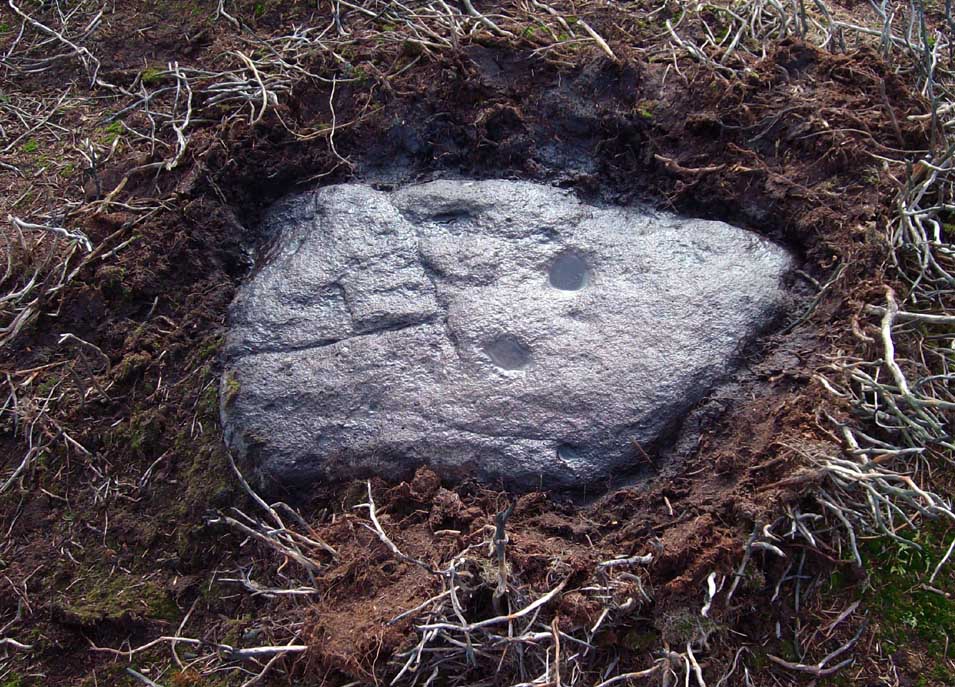
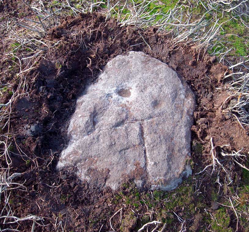
One of this regions many simple cup-marked stones, this example is another that is not in the archaeological records as it was rediscovered on March 1, 2012, by one-time rock art student, Michala Potts of Keighley.  Found in association with one of the many prehistoric cairns in the landscape, it is a small flat rock, that was mainly covered over in dead bracken remains.  There are two very distinct archetypal cup-marks etched on the westernmost half of the stone, with a possible faint third in-between the two.  The larger of the two cups measures 2 inches across and is a half-inch deep; the other cup being 1½ inch across and roughly the same depth. Several other cup-and-ring stones can be found close by.

Buried Stone, when dry

The curious-looking inverted ‘F’ beneath the two cups is somewhat of a dilemma, as part of it appears to have been carved and has the hallmark of a typical boundary marker. However, the top line is almost certainly a natural feature on the rock, but the vertical and second horizontal line may have been cut into the rock at a later date.  There are remains of some medieval workings just 10 yards away from this stone, which may account for the enhanced lines; but we could do with a decent geologist to have a look and tell us one way or the other!

…to be continued…

© Paul Bennett, The Northern Antiquarian