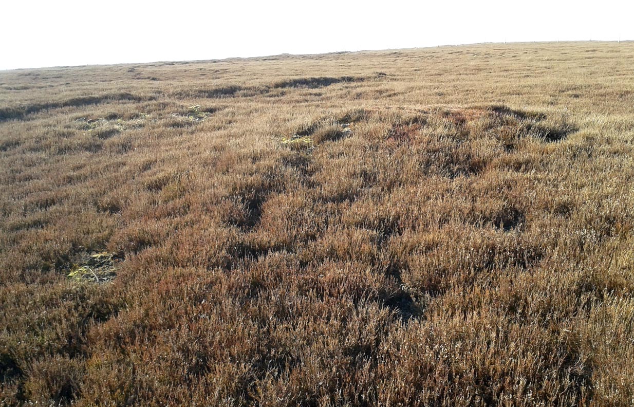
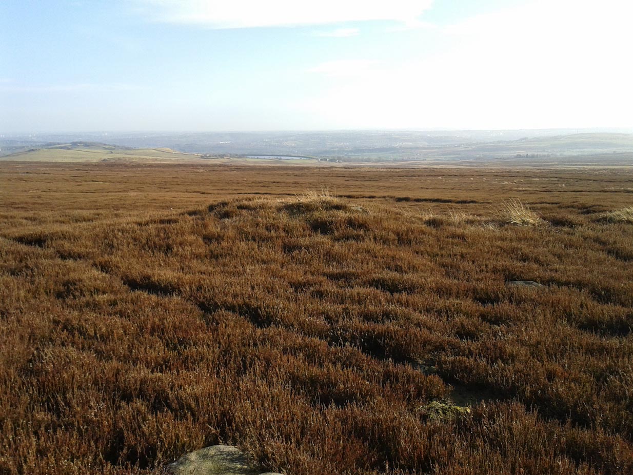
Judge’s Cairn, Dunblane, Perthshire

Cairn:  OS Grid Reference – NN 73944 05618


Also Known as:

  1. The Big Cairn
  2. Canmore ID 24661
  3. Dalbrack

Getting Here

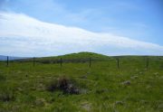
Judges Cairn, looking west

Along the A820 road between Dunblane and Doune, from the Dunblane-side, take the very first minor road on your right a few hundred yards after you’ve come off (or over) the A9 dual-carriageway.  Go all the way to the very top of this long and winding road for several miles, until you reach the gate which prevents you going any further. Walk up the slope on your left (west) and you’ll see the large grassy mound a coupla hundred yards ahead of you. That’s it!

Archaeology & History

Highlighted on the first Ordnance Survey map of the area in 1862, this is a large rounded prehistoric cairn of some considerable size, whose position in the landscape allows for an impressive 360° view way into the distance in several directions—a deliberate ingredient, no doubt, when it came to building this probable tomb.  I say “probable”, as there has never been a dig (not an ‘official’ one anyway) into the heart of this overgrown rocky mound.
Looking SE into the Ochils
Judges Cairn on 1862 map

More than 60 feet in diameter at its greatest and 6 feet high, with a circumference of 67 yards (61m), the top of the mound has been disturbed and, clearly, has been dug into at some time in the distant past—but archaeohistorical accounts are silent on this matter.  The first description of the Judge’s Cairn seems to have been in Peter Stewart’s (1839) notes on the local antiquities of Dunblane, where he described it most simply as:

“The Judges Cairn, yet undispersed, a circular heap of rough mountains stones covered with furze, on the farm of Bowie, barony of Kilbride.”

Along with the Ordnance Survey lads who came here in 1862, all subsequent visits gave rise to only short notes about the place.  Odd, considering its size and distinct vantage point.  And yet it remains hidden from view unless you come from the north, from whence that archetype of a fairy mound raises itself above Nature’s fair body into the eyes of any ambling wanderer…. A wonderful place to sit and dream for a while…

Folklore
Judges Cairn, looking NE

We enquired with a local whose family had been resident here since the mid-18th century about the name and folklore of the site, but he said he knew of nothing.  However, in earlier times it was said to be a place where the local sheriff held court and dispensed justice.  Mr Mackay (1984) told that the site “has been connected with the Judge’s Seat at Severie” nearby.  It seems possible that, as “it is just outside the parish boundary” between Doune and Dunblane, this may have been a moot site in ancient times, from whence laws were dispensed.  Old perambulation records may, perhaps, prove fruitful…

References:

  1. Barty, Alexander, The History of Dunblane, Eneas MacKay: Stirling 1944.
  2. Mackay, Moray S., Doune – Historical Notes, Forth Naturalist: Stirling 1984.
  3. Royal Commission on the Ancient & Historical Monuments of Scotland, Archaeological Sites and Monuments of Stirling District, Central Region, Society of Antiquaries of Scotland 1979.
  4. Shearer, John E., “Prehistoric Man and Prehistoric Remains in Britain,” in Transactions of the Stirling Natural History & Archaeological Society, 1907.
  5. Stewart, Peter G., Essay on the Dunblane Mineral Springs, Hewit: Dunblane 1839.

© Paul BennettThe Northern Antiquarian


Cromlix Lodge, Dunblane, Perthshire

Long Cairn:  OS Grid Reference – NN 7617 0671

Also Known as:

  1. Bracklin Burn
  2. Canmore ID 73465

Getting Here

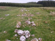
Long line of the cairn, looking S

Long line of the cairn, looking S

Take the B8033 north out of Dunblane and, immediately out the other side of Kinbuck, as you cross the river, take the first track on your left to Cromlix.  Keep right along here to Cullings and beyond, till you reach the edge of the forestry plantation.  Go left instead of going into the trees and, instead, follow the edge of the woodland for about 750 yards.  You’ll see the land rise up on the other side of the stream and the huge length of stones thereby.  That’s it!

Archaeology & History

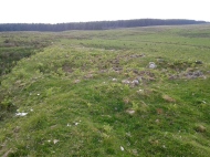
Main axis of the cairn

Main axis of the cairn

Not included in any major archaeology tomes, this giant long prehistoric pile of rocks—probably constructed in neolithic times—sits along the edge of a natural ridge, out of sight of all but the lone wanderer and the birds.  Aligned ESE to WNW, this huge monument measures more than 61 yards (56m) in length and is 12 yards across at its present widest section.  Much of the tomb has been severely robbed for stone in making the local walling: two of which emerge out of the structure itself—one running directly downhill from its larger eastern edge, and a more extensive wide line of walling running west and northwest for quite some distance.  This western section of walling has the hallmarks of being constructed as far back as the Iron Age, which may be when the initial destruction of the chambered cairn first started.  But, until we get an excavation here, we won’t know for sure.

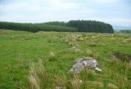
Portion of the central mass of stones

Portion of the central mass of stones

Western wall leads to the cairn

Western wall leads to the cairn

The next closest tomb of any great size is the Judge’s Cairn, 1½ miles (2.4km) to the southwest.  Clusters of smaller single cairns exist about nearly a mile northwest, with prehistoric settlement traces accompanying them—but nothing seems in immediate attendance to this Cromlix giant.

Other sites, obviously, await discovery in this area.  We know that a spring of water roughly 50 yards east of here was used by so-called ‘witches’ in earlier centuries, for both healing and sympathetic magick.  Whether this tradition ever had any relationship with the cairn is difficult to say.


References:

  1. Royal Commission Ancient & Historical Monuments of Scotland, Braes of Doune: An Archaeological Survey, Edinburgh 1994.

© Paul BennettThe Northern Antiquarian


Law Knowe, Niddrie, Edinburgh, Midlothian

Tumulus (destroyed):  OS Grid Reference – NT 3076 7177

Archaeology & History

Long since gone, this little-known burial mound could once be seen not far from the old mansion of Niddrie House.  The only reference I’ve found of it is in Thomas Whyte’s (1792) early essay on the parish of Liberton, where he told:

“East from the house and plantations, and on the north side of the public road, is a rising ground, or tumulus, called the Law Know, where, in more early times, judgment was dispensed, and where, probably, certain acknowledgments were made, by those who held of the baron or family.  It is of a circular form.  And this is the cafe with all places of the same kind. For they were considered as emblems of the sun, that great object of Druidical worship.”

The site appears to have been destroyed when the Industrialists blasted their quarry here and, as historians well know, quarrymen are dreadful when it comes to making notes of anything!  Any additional info on this place would be good….

References:

  1. Whyte, Thomas, “An Account of the Parish of Liberton in Midlothian, or County of Edinburgh,” in Archaeologica Scotica, volume 1, 1792.

© Paul BennettThe Northern Antiquarian


Beinn na Caillich cairn, Broadford, Skye

Chambered Cairn:  OS Grid Reference – NG 6291 2377

Getting Here

Henshall’s plan of Beinn na Caillich tomb

From Broadford town, head northwest outta town up the A87 for a mile, turning left and stopping by the electricity station just 100 yards along.  Follow the line of cables down, SE, through the trees, dead straight for about 600 yards (crossing the large stream about halfway) till you notice an open gap through the trees on your right where, 40 yards in, there’s a large circular arena which has been kept aside amidst which a scattered mound is clearly visible.  In this opening in the trees…this is where the tomb/s rest…

Archaeology & History

Sited a mile east on lowlands beneath the shadow of Beinn na Cailleach mountain, with its host of heathen legends and lore, is reputed to be the prehistoric remains of an important ancestral burial site, under dominion of the cailleach’s eye.  In Audrey Henshall’s (1972-2) magnum opus she describes the remains of what may be two separate tombs here as “difficult to interpret”; even “questioning whether they do in fact represent the ruins of a chambered cairn” as has been ascribed.  The site is still included in the Canmore survey, where they cite the same reference as I do here, but add no additional data to Henshall’s query.  There is obviously something to be seen here, but until excavation of the site has been done, the exact nature of what lies here cannot be clarified.  Miss Henshall wrote:

“There is a setting of stones forming about a third of the west side of a circle which would have a diameter of about 30ft if complete; its greatest N to S measurement is 23ft. The stones are thin slabs 4 to 5in thick, up to 3ft 6in long, set on their long sides and projecting up to 2ft above the turf.  The stones have probably been reduced in size due to natural fracturing as the stone readily flakes away. Within this setting, which might be interpreted as the kerb of a cairn, there is a rise of about 1ft above ground level and the grass grows greener, but except for this and a number of boulders lying about the site, there is no sign of cairn material. This is curious as there is no obvious reason for removing it.

“Inside the ‘kerb’ there is a horse-shoe setting of five similar slabs, just visible except for two on the S side which project 1ft 2in due to some peat on their N side having been removed. The enclosed area is 7ft wide by 7ft 6in long, open on the E end.  On this side, 14ft from the W end of the setting, is a larger stone, set on end, 2ft 8in high.  This might be regarded as a portal stone except that it is set opposite the centre of the open end of the horse-shoe setting, and there is a low thin slab projecting westwards from the middle of its W face.  E of this there lie a number of flat slabs and boulders, the larger (some measuring 3ft 8in by 3ft and 4 by 2ft) marked on the plan, but they do not suggest the form of the original structure.

“A stone is set radially to the kerb, 15ft 8in to the N.  It is on its long edge, 4ft 11in long and 2ft 2in high.  Twenty eight feet S of the kerb there is a circular setting of small boulders, 6ft 6in across inside, and part of another concentric setting can be traced 6ft outside these.”

References:

  1. Henshall, Audrey, The Chambered Tombs of Scotland – volume 2, Edinburgh University Press 1972.

© Paul BennettThe Northern Antiquarian


Baile Mhargaite Cist (01), Bettyhill, Sutherland

Cist:  OS Grid Reference – NC 69908 61102

Getting Here

Get yourself to the Baile Mhargaite Enclosure 1 and walk less than 150 yards southeast.  Keep your eyes keenly peeled on the ground as you can easily miss this one!

Archaeology & History

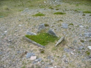
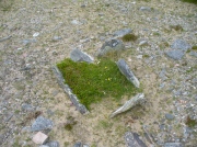
One of Baile Mhargaite's cists

One of Baile Mhargaite’s cists

The only archaeological note I can find of this small singular prehistoric grave is in the Canmore entry, which is far from clear as to the position and situation of many sites hereby.  They described this small sand-filled grave (which they describe as ‘Cist b’) as being “on a gravel ridge and is oriented N-S. It measures 0.8m by 0.6m.”  That’s it!

Looking down on the tomb

Looking down on the tomb

But saying that, it is a small single little thing amidst a huge mass of material.  It may well have been covered by a larger cairn at an earlier date, as there are many such monuments on this elevated sandy plain and the slight surround of smaller stones at, and just beneath the surface may validate this.  It is also possible that this was the spot where “beaker fragments…found in a cist at Bettyhill” came from, but the archaeological records (Abercromby 1912; Mitchell 1934) are not accurate.  Two other cists close by are the other potential candidates!

References:

  1.  Abercromby, John, A Study of the Bronze Age Pottery of Britain and Ireland – volume 1, Clarendon: Oxford 1912.
  2. Mitchell, Margaret E.C., “A New Analysis of the Early Bronze Age BeakerPottery of Scotland,”in Proceedings of the Society Antiquaries, Scotland, volume 68, 1934.

© Paul BennettThe Northern Antiquarian

Glenshervie Burn, Glen Almond, Perthshire

Ring Cairn:  OS Grid Reference – NN 82614 32996

Also Known as:

  1. Canmore ID 25565
  2. River Almond

Getting Here

The ruins of Glenshervie Circle

The ruins of Glenshervie Circle

Take the dirt-track, off-road, up to the start of Glen Almond, for more than 4 miles — past the curious Conichan Ring, and past the standing stone of Clach an Tiompan, until you see the large modern walled circle in the field on your left.  Go into that field and you’ll notice a ruined pile and small standing stones 56 yards (51m) WSW.  Y’ can’t really miss it!

Archaeology & History

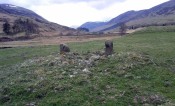
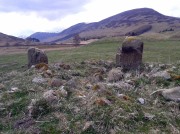
Sitting upon a flat grassland plateau close to the confluence of the Glenshervie Burn with the River Almond, the visitor here will notice an overgrown ovoid mass of old worn stones in the form of a prehistoric cairn, with two upright standing stones on the western edges of the pile.  This is the remains of what the megalithic magus Aubrey Burl (1988) called the Glenshervie “four poster” stone circle.

Glenshervie stones, looking N

Glenshervie stones, looking N

Glenshervie stones, looking W

Glenshervie stones, looking W

Structurally similar to the neighbouring four-poster of Clach an Tiompan 470 yards (427m) to the ESE, and less damaged than the remaining megaliths of Auchnafree 568 yards (520m) to the northwest, this megalithic ruin was first mentioned in passing by Audrey Henshall (1956) in her survey of the giant Clach an Tiompan tomb and its adjacent ring.  She told that,

“In meadowland beside the Almond, a small circle of standing stones, hitherto unrecorded, protrude through the water-worn material of a low cairn.  This is a similar type of monument to the ruined site at Clach na Tiompan.”

Close-up of cairn & stones

Close-up of cairn & stones

Glenshervie ruins, looking S

Glenshervie ruins, looking S

Indeed it is!  Sadly however, it remains unexcavated — so we know not what its precise nature and function may have been.  When Burl included the site in his 1988 survey, he could add nothing more than I can; but curiously described the two standing stones here as being only “about 1 ft (30cm) high.”  They’re between two and three feet tall respectively, and the remaining cairn is between 5 and 6 yards in diameter, with the central rubble rising between 1 and 2 feet above the natural ground level.

The landscape at the point where this circle was built enables you to look up and down the glens of Almond and Shervie in three different directions.  Whether or not this was deliberate, we cannot know for sure.  But the setting on the whole, in the middle of where the glen widens out and hold this and the nearby monuments, is a beautiful setting indeed…

References:

  1. Burl, Aubrey, Four Posters: Bronze Age Stone Circles of Western Europe, BAR 195: Oxford 1988.
  2. Henshall, Audrey & Stewart, M.E.C., “Excavations at Clach na Tiompan, Wester Glen Almond, Perthshire,” in Proceedings of the Society of Antiquaries, Scotland, volume 88, 1955.

© Paul BennettThe Northern Antiquarian


Coilsfield, Tarbolton, Ayrshire

Cup-and-Ring Stone (lost):  OS Grid Reference – NS 4469 2624

Also Known as:

  1. Canmore ID 42713
  2. King Coil’s Grave Stone
  3. Old King Cole’s Stone (Morris 1981)

Archaeology & History

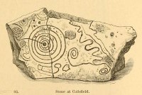
Daniel Wilson's 1851 sketch of the carving

Daniel Wilson’s 1851 sketch of the carving

This fascinating and very ornate prehistoric carving was found on the underside of a grave-slab beneath Old King Coil’s Grave, or an adjacent prehistoric burial feature (we don’t know for sure).  In Daniel Wilson’s (1851) superb early work on prehistoric Scotland is a detailed drawing of this ornate petroglyph—similar in design and form to those found across the waters in Ireland—copied “from a drawing presented to the Royal Society of Edinburgh by Colonel Hugh Montgomery of Shielmorly, in 1785.”  Mr Wilson informed us that,

“It formed the cover of a cist, discovered in digging a gravel-pit at Coilsfield, in Ayrshire, and underneath it was found an urn filled with incinerated bones. The dimensions of the stone were about five feet in length by two and a half feet in breadth”

James Simpson's 1866 sketch

James Simpson’s 1866 sketch

A few years later Sir James Simpson (1866; 1867) wrote and published the earliest (and still one of the finest) books on aboriginal rock carvings in the British Isles, and all but echoed what Wilson had described.  He added a further description of the designs that were carved onto the stone, telling us that,

“it had cut upon it a series of concentric circles, consisting of six rings placed around a central cup, the rings traversed by a straight radial groove.  On the drawing are marks of other cups and rings, or rather volutes, and a number of angular lines… This sculptured stone covered an urn…”

Following the descriptions of our early authors, many archaeologists and antiquarians explored the site but could find little else about the carving.  In Ron Morris’ (1981) most recent survey, he told us that it was,

“a gritstone slab, 1½m by ¾m (5ft x 2½ft), possibly broken after carving, had on one side (not now known if this was the inner of outer face); a cup-and-six-complete-rings with radial groove from the cup – diameter 50cm (20in) – 5 other cups-and-rings, mostly partly broken off or incomplete, an irregular ‘reversed-S-shaped’ single spiral with 3 convolutions at each end, other irregular grooved figures, 4 cups and about 7 ‘dots’ (6 of these are in the cup-and-six-rings).”

The Royal Commission at Canmore tell us that “the present location of the food vessel and cist cover is unknown”; yet the rock art researcher Ronald W.B. Morris (1981) reported the petroglyph was “said to have been given to the Society of Antiquaries of Scotland but (is) now missing”; whilst the local writer E.H. Letham (1900) told us “the urns were conveyed to Eglintoun Castle.”  This aint good.  Has anyone subsequently found out what became of it?

Folklore

The tumulus of King Coil’s Grave was the legendary resting place of the “Old King Cole” of popular rhymes.  There were two such northern kings in ancient times and, as William Robertson (1889) said, “the only difficulty is to say which of the King Coils he was, whether the Coilu who lived three hundred and thirty years before Christ; or Coel, King of the Roman districts, who must have lived in the third century.”

References:

  1. Letham, E.H., Burns and Tarbolton, D.Brown: Kilmarnock 1900.
  2. Morris, Ronald W.B., The Prehistoric Rock Art of Southern Scotland, BAR: Oxford 1981.
  3. Morris, Ronald W.B. & Bailey, Douglas C., “The Cup-and-Ring Marks and Similar Sculptures of Southwestern Scotland: A Survey,” in Proceedings of the Society of Antiquaries, Scotland, volume 98, 1966.
  4. Morrison, Alex, The Bronze Age in Ayrshire, Ayrshire Natural History & Archaeology Society 1978.
  5. Robertson, William, Historical Tales and Legends of Ayrshire, Thomas D. Morrison: Glasgow 1889.
  6. Paterson, James, History of the County of Ayr – volume 2, Thomas Stevenson: Edinburgh 1852.
  7. Simpson, J.Y., “On Ancient Sculpturings of Cups and Concentric Rings,” in Proceedings of the Society of Antiquaries, Scotland, volume 6, 1866.
  8. Simpson, James, Archaic Sculpturings of Cups, Circles, etc., Upon Stones and Rocks in Scotland, England and other Countries, Edmonston & Douglas: Edinburgh 1867.
  9. Smith, John, Prehistoric Man in Ayrshire, Elliot Stock: London 1895.
  10. Wilson, Daniel, The Archaeology and Prehistoric Annals of Scotland, Sutherland & Knox: Edinburgh 1851.
  11. Young, Alison, “Cup-and-Ring Markings on Creag Ruenshin, with Some Comparative Notes,” in Proceedings of the Society of Antiquaries, Scotland, volume 72, 1937.

© Paul BennettThe Northern Antiquarian 


Ruston Beacon, Ruston Parva, East Yorkshire

Tumulus (destroyed):  OS Grid Reference – TA 0584 6128

Archaeology & History

Ruston Beacon tumulus on 1854 map

Ruston Beacon tumulus on 1854 map

A fallen tumulus that once marked the southwestern side of the village boundary line, and was once adjacent to the prehistoric Green Dikes earthworks that once passed here.  Sadly however, sometime early in the 20th century, this ancient burial mound fell victim to usual ignorance of arrogant land-owners who place money ahead of history and local tradition and it was ploughed-up and destroyed.  Thankfully we have an account of the site in J.R. Mortimer’s (1905) incredible magnum opus.  Listing it as ‘Barrow no.272’ in the number of tombs excavated, he told us that:

“It is situated on elevated ground about half-a-mile (south)west of Ruston Parva.  On September 20th and 21st, 1886, it measured about 70 feet in diameter and 2 feet in elevation; and had originally been several feet higher, as an old inhabitant remembered assisted in removing its upper portion, which was carried away and spread on the surrounding land many years previously.  At the base of the barrow, near the centre, was a long heap of cremated bones which had been interred in a hollow log of wood with rounded ends, about 3 feet in length and 14 inches in width, well shown by impressions in the plastic soil, and by the remains of the decayed wood.  The heap of bones was rather large and probably consisted of the remains of more than one body.  No relic accompanied them.  Several splinters and flakes of flint were picked from the mound.”

The tumulus (as its name implies) became a spot besides which one of East Yorkshire’s many ancient beacons were built.  In Nicholson’s (1887) survey of such monuments, he told that

“the modern beacon, apparently, stood on the site of the old one, on the high ground in the angle of the road from Driffield to Kilham.  It was a prominent object and would be well-known to the coachmen and guards…for it stood on the side of the road from Driffield to Bridlington.  Mr John Browne, of Bridlington, remembers it; and says, ‘It would be the last of the beacons that remained in this district and was removed between fifty and sixty years ago.  My recollection of it is that it was a tall pole, with a tar barrel at the top, and had projected steppings to reach the barrel.”

One of the earliest accounts of the beacon from the late-1500s told that it took signal for its light from the beacon at Rudston, which stood upon one of the Rudston cursus monuments, a short distance from the massive Rudston monolith.

References:

  1. Mortimer, J.R., Forty Years Researches in British and Saxon Burial Mounds of East Yorkshire, Brown & Sons: Hull 1905.
  2. Nicholson, John, Beacons of East Yorkshire, A. Brown & Sons: Hull 1887.

© Paul Bennett, The Northern Antiquarian


Cow Keeper’s Field (1), Boulby, Easington, North Yorkshire

Cup-Marked Stone:  OS Grid Reference – NZ 75398 19218

Also Known as:

  1. BOU-5 (Brown & Chappell)

Archaeology & History

Cup-marked stone inside Cow keepers Field tomb

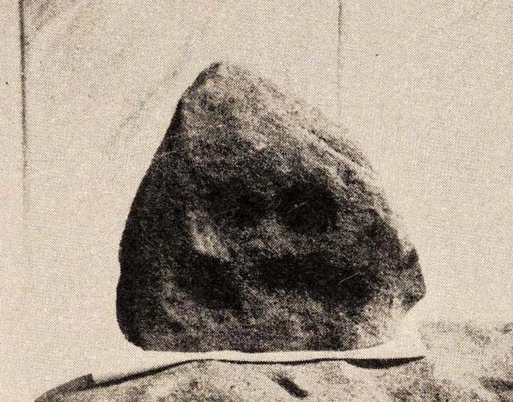
Inside the once prominent prehistoric tomb on the Cow Keeper’s Field, the northern antiquarians William Hornsby and John Laverick (1920) came across two small petroglyphs in association with a cremation burial, several feet south of the central cist: the Cow Keeper’s Field 2 carving, plus this small, triangular-shaped stone, 8in by 6in, consisting of five standard cup-marks, with two of the cups (as the photo shows) connected to each other.  It is akin to the numerous ‘portable’ cup-marked stones which, in other cultures, were deposited onto cairns in remembrance of the ancestral spirits of the tomb.  Such widespread practices may also have occurred here.  Petroglyph researcher and writer Graeme Chappell (2017) informed us that the carving “is in storage in the Dorman museum in Middlesborough.”

References:

  1. Brown, Paul & Chappell, Graeme, Prehistoric Rock Art in the North York Moors, Tempus: Stroud 2005.
  2. Chappell, Graeme, Personal communication, October 4, 2017.
  3. Crawford, G.M., Bronze Age Burial Mounds in Cleveland, Cleveland County Council 1990.
  4. Elgee, Frank, Early Man in North-East Yorkshire, John Bellows: Gloucester 1930.
  5. Hornsby, William & Laverick, John D., “British Barrows round Boulby,” in Yorkshire Archaeological Journal, volume 25, 1920.

© Paul BennettThe Northern Antiquarian 

Hawksworth Moor Cairnfield (01), West Yorkshire

Cairns:  OS Grid Reference – SE 140 443

Getting Here

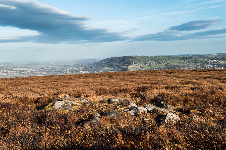
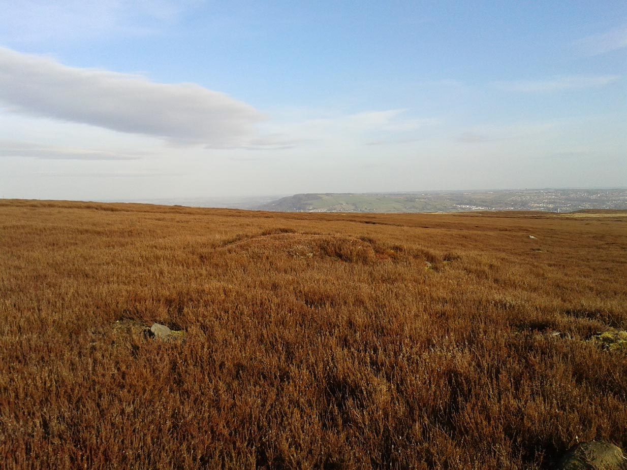
One of Hawksworth Moor's cairns
One of Hawksworth Moor’s cairns, looking west

Take the same directions as if you’re visiting the Great Skirtful of Stones giant cairn on the boundary of Burley and Hawksworth.  Cross the wire fence on its southern-side and, cross the (usually overgrown) prehistoric trackway 50-60 yards away.  Keep in the same direction onto the pathless moor for about the same distance again, zigzagging back and forth, keeping your eyes peeled for some small overgrown rocky rises.  You’ll find ’em.

Archaeology & History

Not to be confused with the much larger Bronze Age graveyard further south on the same moorland, this little-known prehistoric cemetery has had little of any worth written about it since the 19th century and—like many sites on these moors—has received no modern archaeological attention.

Close-up of one of the cairns
Two of the cairns, looking NW

On my last visit to this site with James Elkington in 2015, only four of the heather-clad cairns were visible; but if you explore here after the heather has been burned away, a half-dozen such tombs are found in relatively close attendance to each other.  They are each about the same size, being roughly circular and measuring between 3-4 yards across, 10-12 yards in circumference and a yard high at the most. As you can see in the attached images, they are quiet visible even when the heather has grown on them.

Another cairn in this group

This small cairnfield may stretch across and link up with the secondary cairnfield a half-mile to the southwest.  More survey work is required up here.

As with the circle of Roms Law and the Great Skirtful of Stones, this relatively small cluster of cairns seems to have had a prehistoric trackway approaching it, running roughly east-west.  A short distance west are the much-denuded waters of the Skirtful Spring.

References:

  1. Bennett, Paul, The Old Stones of Elmet, Capall Bann: Milverton 2001.
  2. Faull, M.L. & Moorhouse, S.A. (eds.), West Yorkshire: An Archaeological Guide to AD 1500 (4 volumes), WYMCC: Wakefield 1981.
  3. Wardell, James, Historical Notes of Ilkley, Rombald’s Moor, Baildon Common, and other Matters of the British and Roman Periods, Joseph Dodgson: Leeds 1869. (2nd edition 1881).

Acknowledgements: Huge thanks to James Elkington for use of his photo in this site profile.

© Paul Bennett, The Northern Antiquarian