Cup-and-Ring Stone: OS Grid Reference – NN 9285 2754
Getting Here
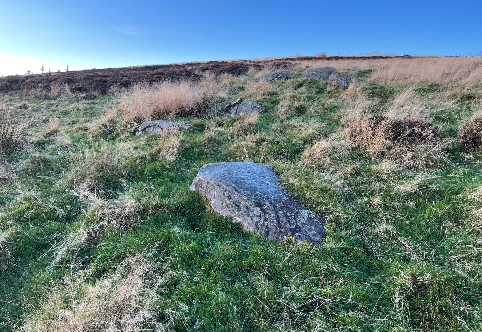
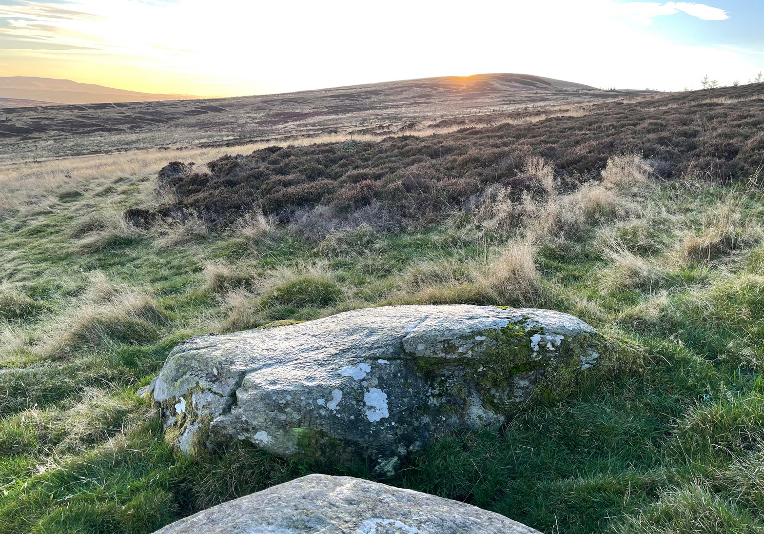
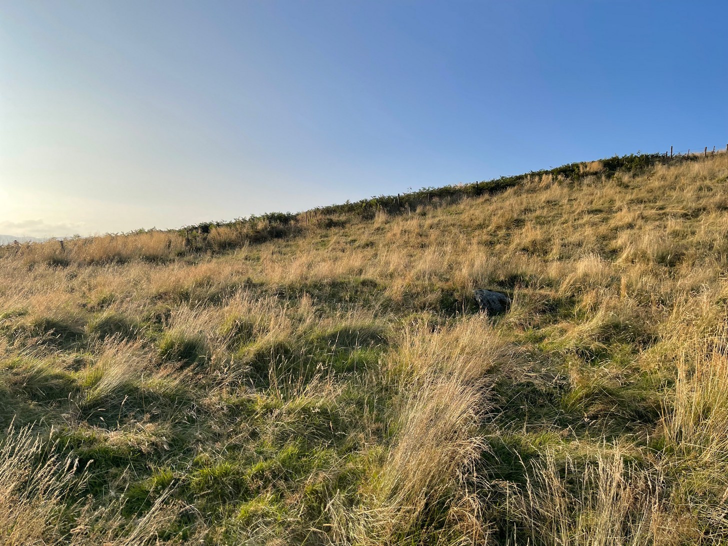
If you can make your way to the Stroness (2) carving, then walk down the slope for less than 50 yards past quite a few other earthfast stones, you’ll eventually run into the stone shown here in the photos. You’ll find it easily enough.
Archaeology & History
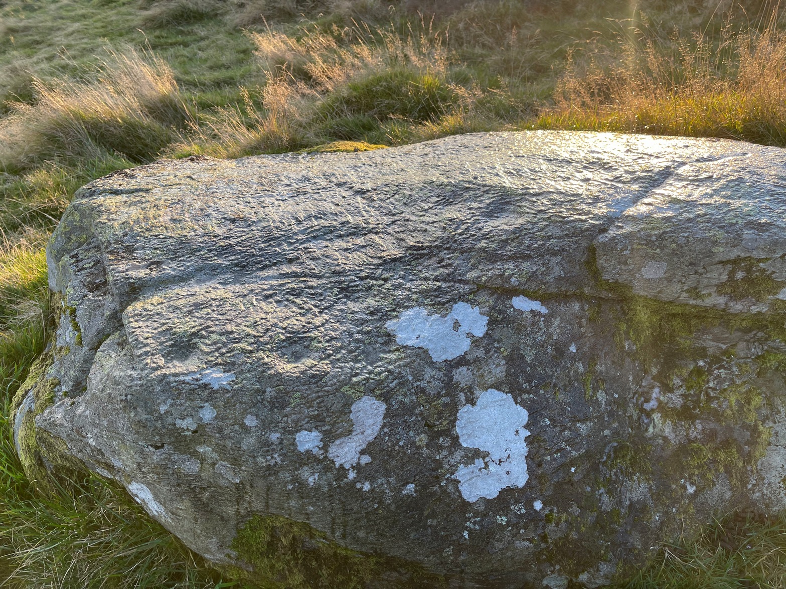
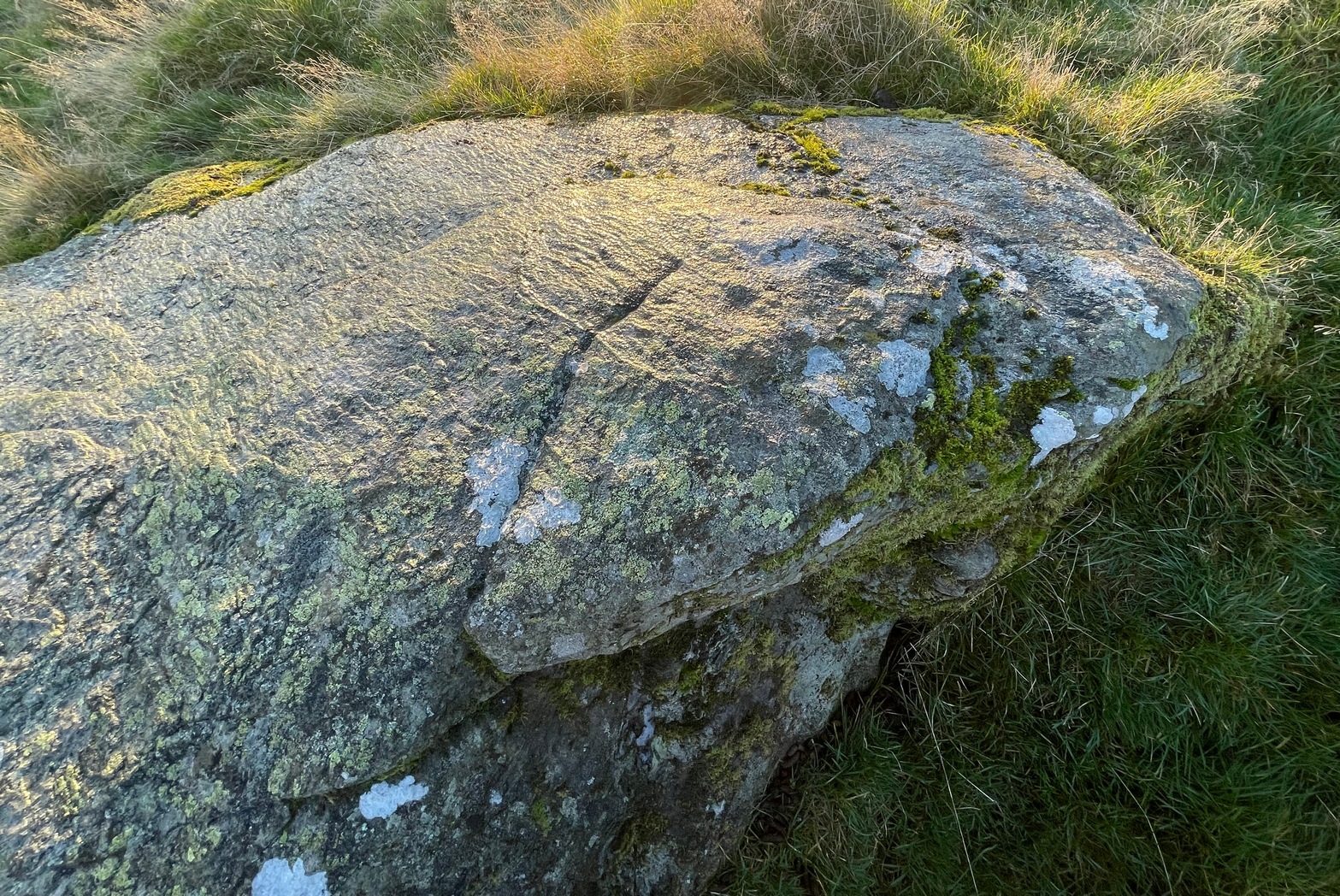
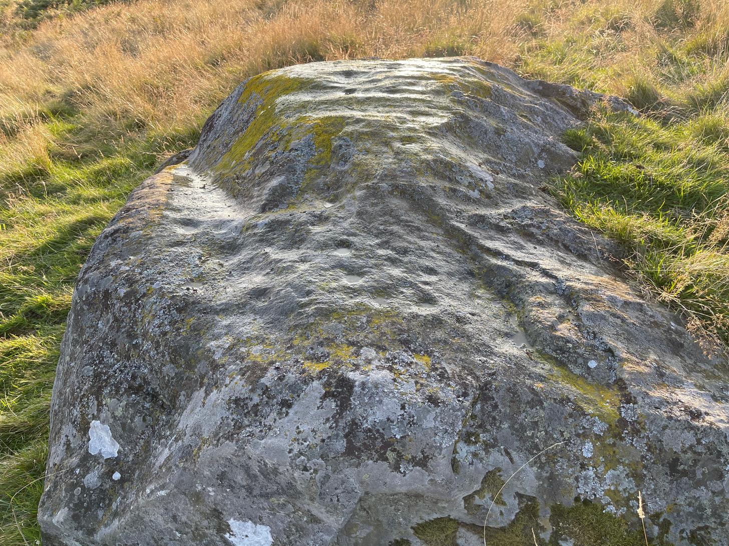
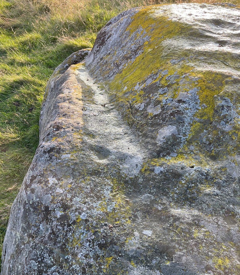
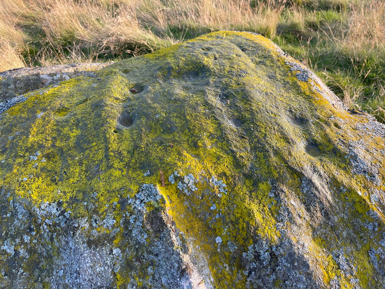
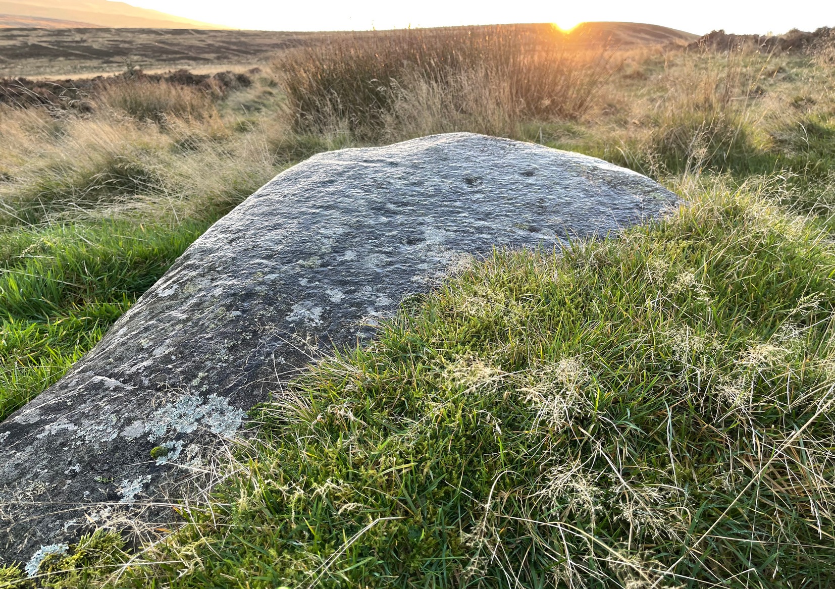
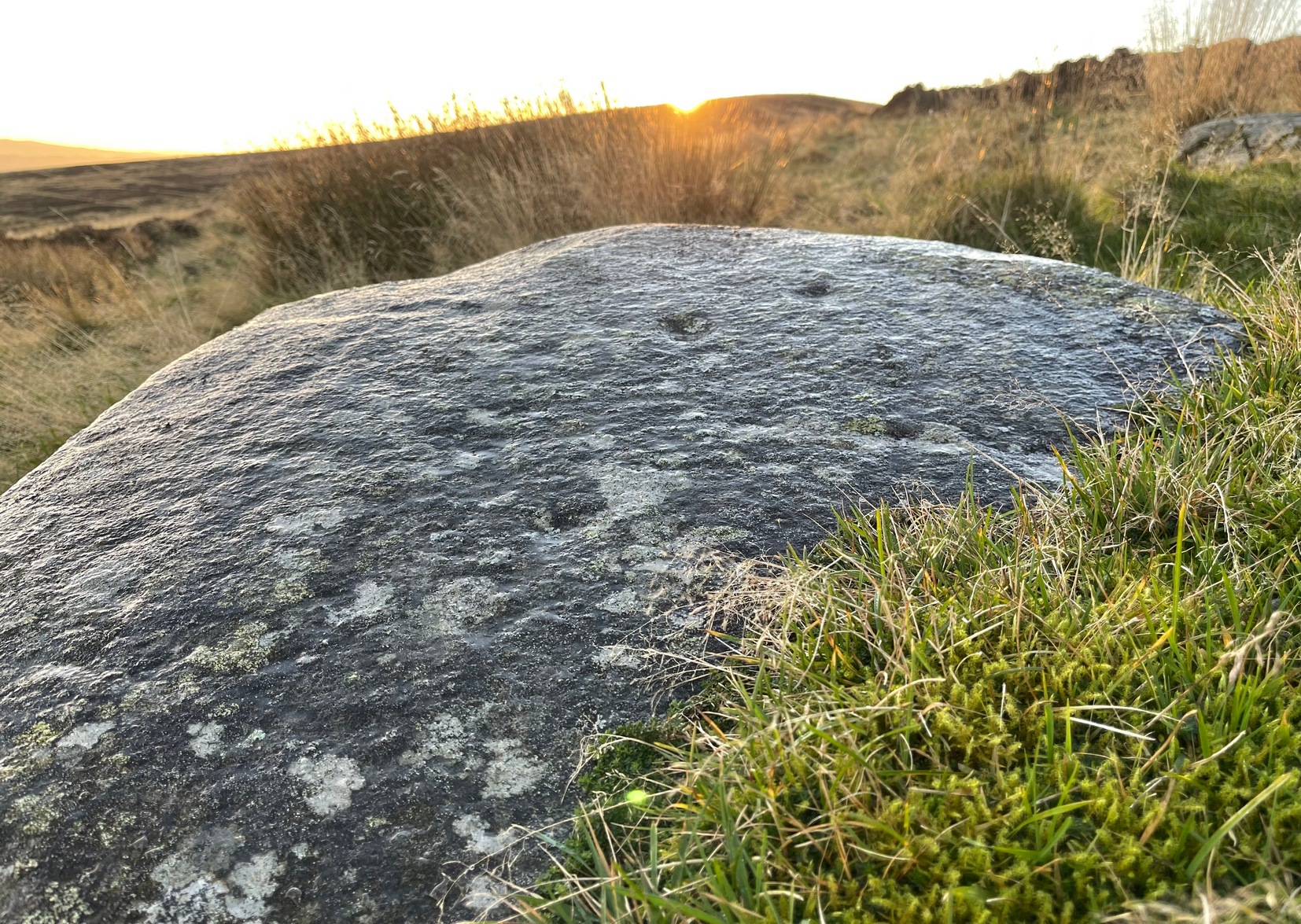
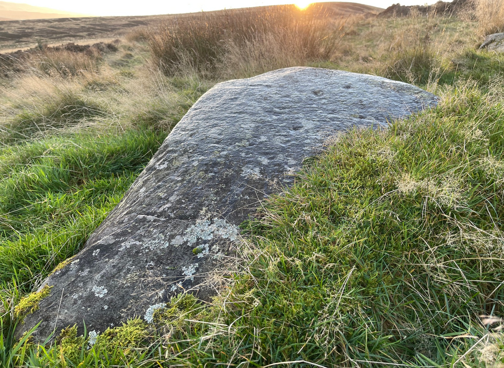
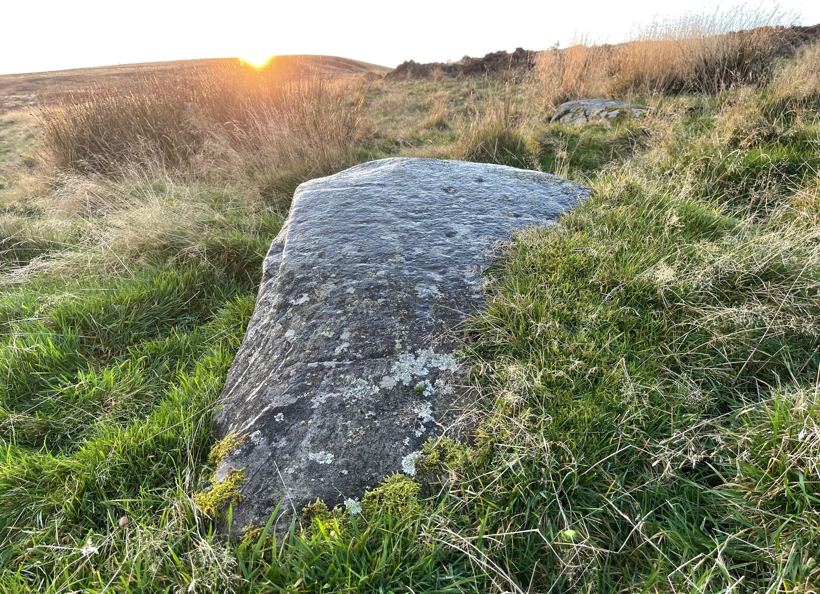
This carving was found when I was heading down the hillside to meet up with my antiquarian colleague 500 yards lower down. The sun was just setting, so visibility wasn’t good, but as I rushed from stone to stone feeling each one in the hope of finding a carving, this one gave my fingers that distinct feedback of a cup-marking; then another; and what seemed like another. I had a small amount of water left in a bottle and quickly sprayed it over the surface of the stone and saw that there were indeed a number of cups on it. Two or three certainly – but possibly as many as five. I laid on the wet ground and looked across its even surface from several angles and caught what seemed to be a very faint semi-circle around one of the cups. But I wasn’t sure it was real. However, on a number of quick photos I took, several of them do appear to show such an arc around one of the cups. But I’m very cautious about it. Only when we (or you) go back up and have a look at it in good light will we be able to affirm or discount it.
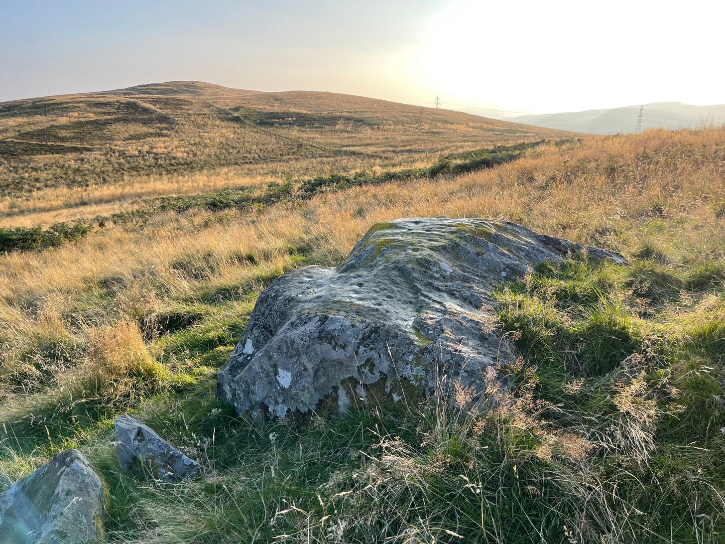
One additional feature that needs mentioning is a small low arc of walling just above this stone. It’s man-made, it’s very old, but I couldn’t work out what it might be: hut circle, cairn (there’s one further up the hill), enclosure walling. I’m not sure, but it needs to be looked at when we have a full day.
© Paul Bennett, The Northern Antiquarian
The map could not be loaded. Please contact the site owner.