Mudbeck 2, Arkengarthdale Moor, North Yorkshire

Cup-Marked Stone:  OS Grid Reference – NY 95274 07728

Also Known as:

  1. MUD S2

Archaeology & History

This small, simple cup-marked stone is found close to the small Mudbeck stone circle.  Consisting of just four shallow cup-marks almost running in an arc formation, the site was first discovered by Tim Laurie in the late 1990s.  I’ve not been to this place so rely on the photos kindly sent me by Richard Stroud, and the description of the place by Paul Brown (2008), where he told:
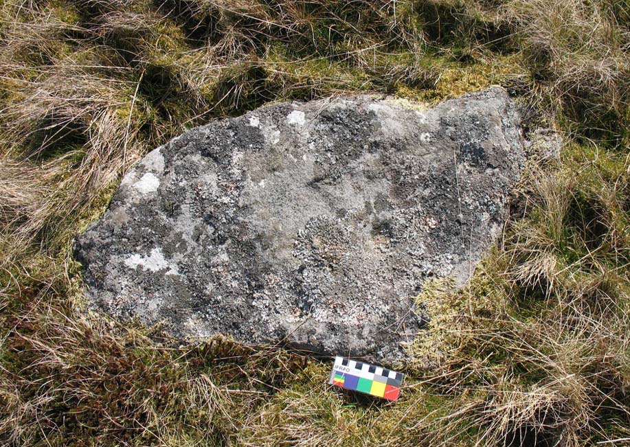
Close-up of 4 cups (courtesy Richard Stroud)
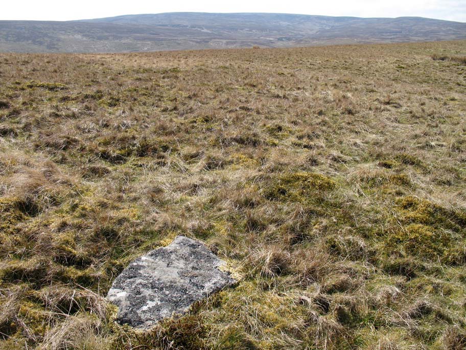
Mudbeck 2 in the landscape (courtesy Richard Stroud)

“On the crest of a ridge some 50m south-west of Mudbeck a scatter of small boulders form an indistinct ring-shape and a cup-marked boulder with four cups was discovered here by Tim Laurie.  It was suggested that the stone scatter represented the possible remains of a cairn that had at some point in its past been stripped of its stone for the construction of walling and sheepfolds in the area. ”

The only other cup-mark close by is one alleged to be on one of the small uprights in the Mudbeck circle (known as MUD S1 in Brown’s survey) – though I have to say that the “carving” is somewhat dubious to me.

References:

  1. Brown, Paul and Barbara, Prehistoric Rock Art in the Northern Dales, Tempus: Stroud 2008.

Acknowledgements:  Many thanks to Richard Stroud for use of the photos in this site profile.

© Paul Bennett, The Northern Antiquarian

Mudbeck Ring, Arkengarthdale Moor, North Yorkshire

Stone Circle:  OS Grid Reference – NY 95626 07618

Also Known as:

  1. Arkle Beck Stone Circle
  2. Thom L6/5

Getting Here

Truly takes some finding this one and you’ve got those energy-depleting tribbles (tussocks) to contend with in your journey here!  But if you’ve good ankles and enjoy bouncing the moors, it aint too bad.  It’s 4 miles east of Tan Hill, some 700 yards west of the confluence of Mud Beck and Arkle Beck, and some 300 yards north of Arkle Beck amidst the grassy open moorland.  Look around and you’ll find it!

Archaeology & History

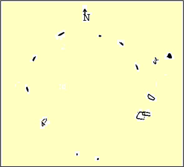
Located on a prominent position on a ridge at the head of a pass into Upper Arkengarthdale, this site was first found in 1982 by local Shepherd William Stubbs, who informed Tim Laurie, who then contacted Archibald Thom – son of the legendary Alexander Thom – who went on to survey the site in 1983.  Thom “recorded five stones in the ring, one slab buried on the line of the perimeter, and a small stone just inside the ring.” He reckoned the outlying stone 55 yards ENE was also part of the original complex. His survey found its geometry to be a perfect circle in design.  And, in good old-fashioned Alex Thom fashion, measured the diameter of the circle at precisely 22.53 megalithic yards; that’s about 20 yards to you and me!

All the stones in the ring are pretty small and unassuming and the site gives more an impression of having burial associations, but I’m unaware of any such finds.  There are other little known sites scattering this region and we need a few ventures scouting around to see what more can be found…

References:

  1. Curtis, Ronald, ‘The Geometry of Some Megalithic Rings,’ in Records in Stone (edited by Clive Ruggles), Cambridge University Press 1988.

© Paul Bennett, The Northern Antiquarian