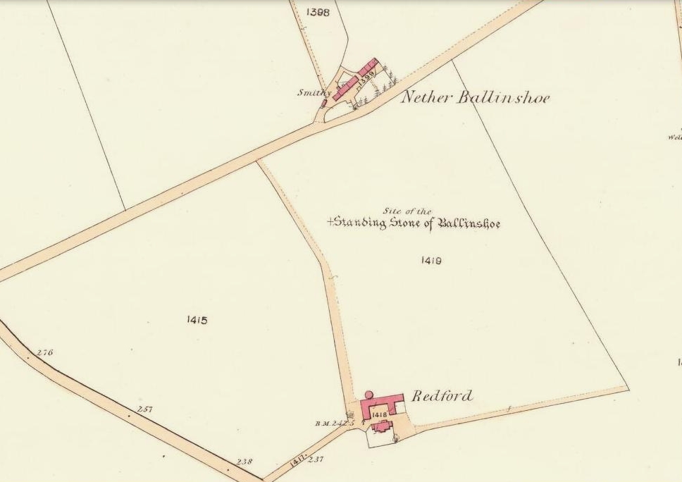
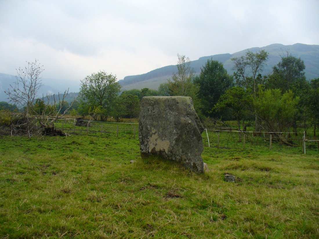
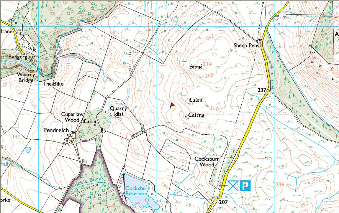
 Standing Stone: OS Grid Reference – NS 81116 99311
Take the same directions as if you’re gonna find the Pendreich Moor cairn up the hills behind and north of Stirling University (there are 2 very close to each other). Once upon the cairned hill, walk dead straight WNW for 100 yards or so, or down the slope into the small valley, then westwards. You’ll hit an overgrown length of very old walling. Keep walking along here and, below it, you’ll find these stones laying down in the shallow grasses on the south-side of the all-but dried stream. The large Cuparlaw Wood cairn is 0.4 miles west of here.
Archaeology & History
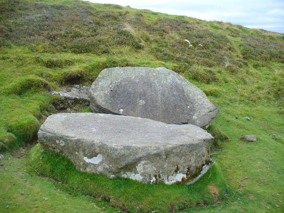
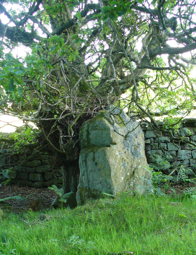
This is something of an anomaly. There is no previous written history about the place (that I can find) and archaeologists and historians on The Prehistoric Society and CBA forums can offer no other explanation when asked: is this a standing stone that, many centuries ago, was cut and prepared to be erected, but never made it into the intended monument? (wherever that might have been) And so, I offer it onto TNA and ask the same of any readers, geologists or archaeo’s who might have an explanation for this curious, large split piece of stone, that lays silently on the western moorland edges of the Ochils, asking the same question.
When I first came across this site I was simply perplexed as to the why’s and wherefore’s of who had cut such a large rock into approximate halves. I must have walked around it many times, puzzling what the purpose would have been of doing such a thing, and how long ago the ‘split’ had been performed. About a year later I ventured up again and, when leaving to head back into Stirling, found no resolution to my puzzlement. It had me truly stumped!
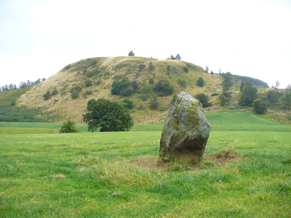
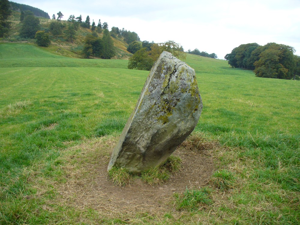
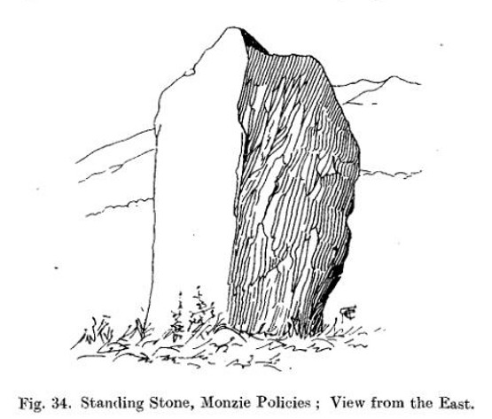
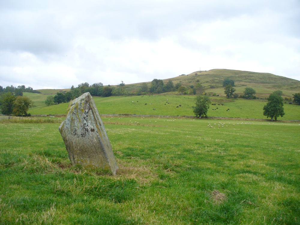
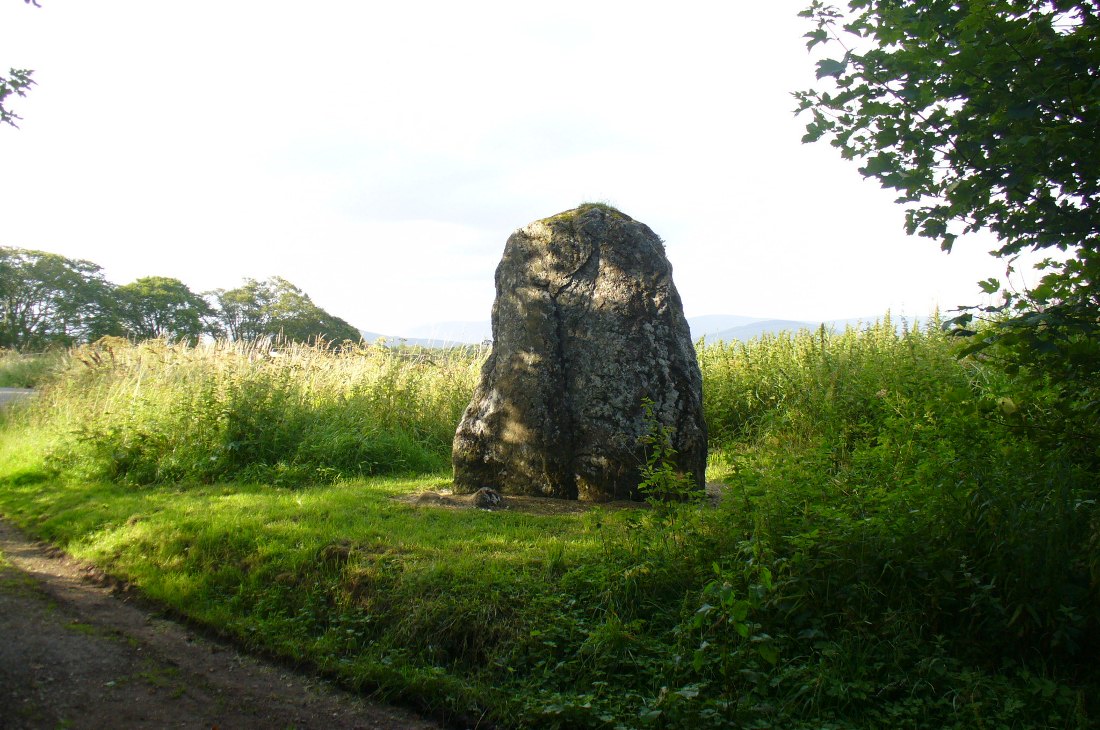
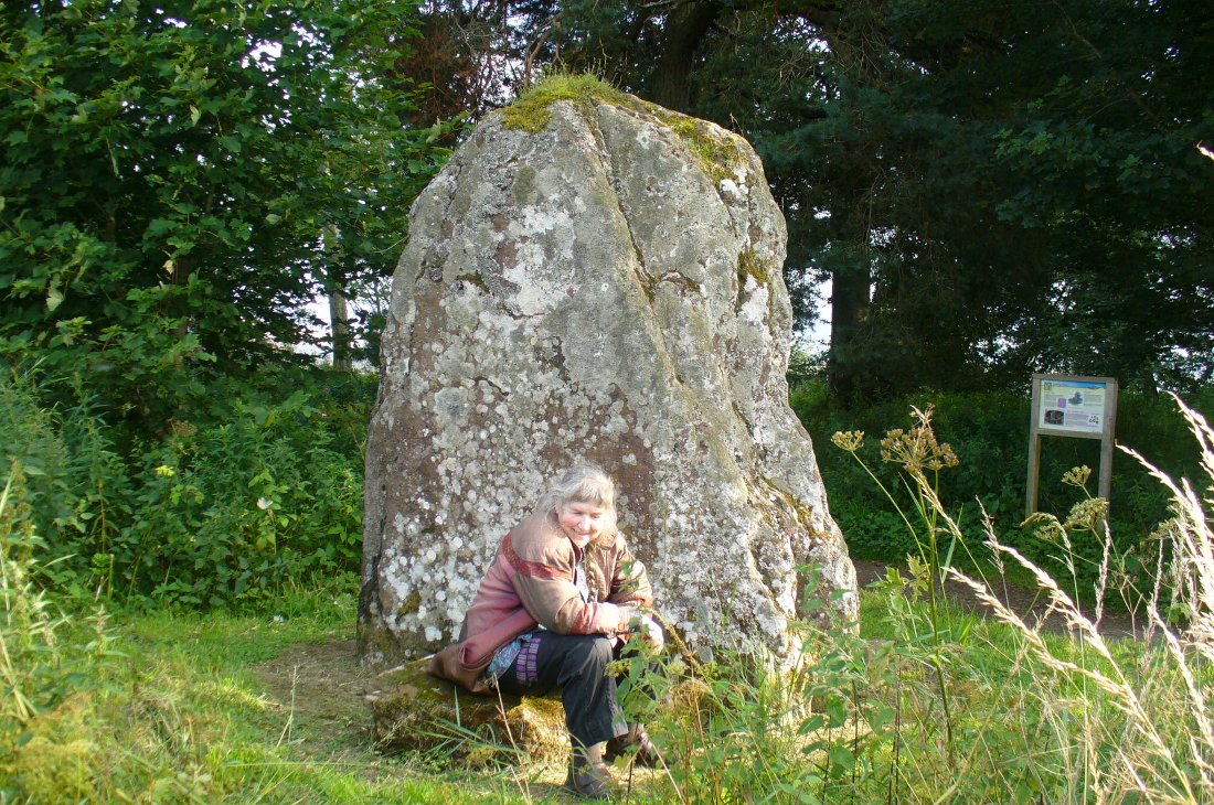
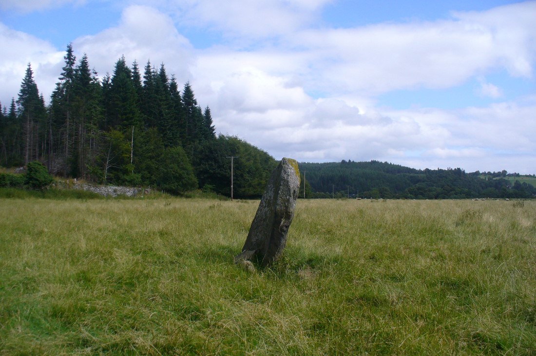
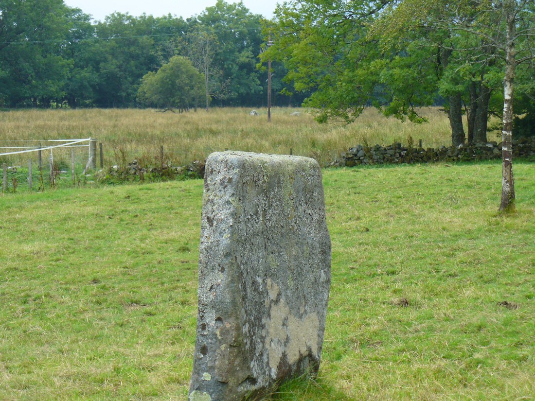
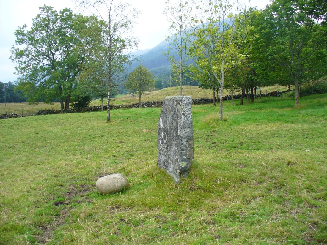
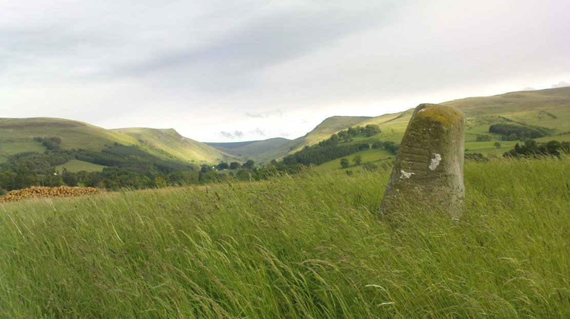
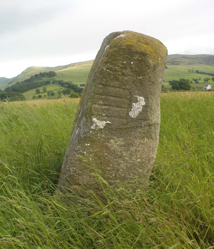
It wasn’t until I visited the prehistoric Witches’ Stone about 15 miles away near Monzie Castle last year, that one of those ‘eureka!’ events occurred. The last thing on my mind was the curious split rock above Bridge of Allan. Fellow antiquarian Paul Hornby and I were taking photos of the Witches’ Stone, when one of us remarked how unusually flat and smooth one face of this upright standing stone was – in fact, incredibly flat and smooth – and that’s when it hit me! As I walked round and round the Witches’ Stone, the similarity between this upright example and the one laid on the ground about 15 miles away got stronger and stronger.

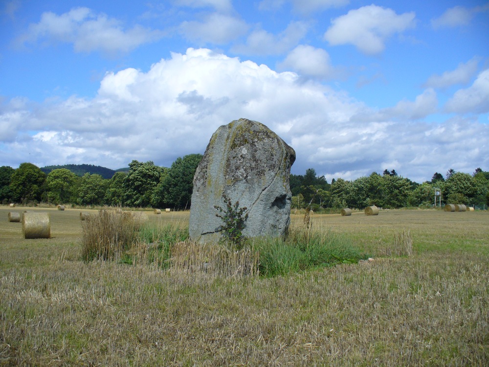
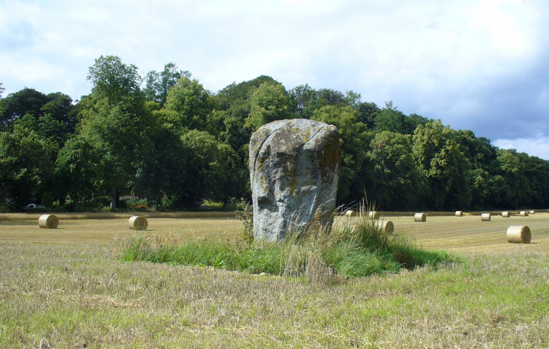
A week or two later, archaeology student Lisa Samson and I went back to the Split Stone to have another look at it. Without doubt, the appearance and size and type of rock were one and the same. The only real difference between the Witches Stone and this Split Stone on the edge of Pendreich Moor, is that one stands upright and the other is laid down.
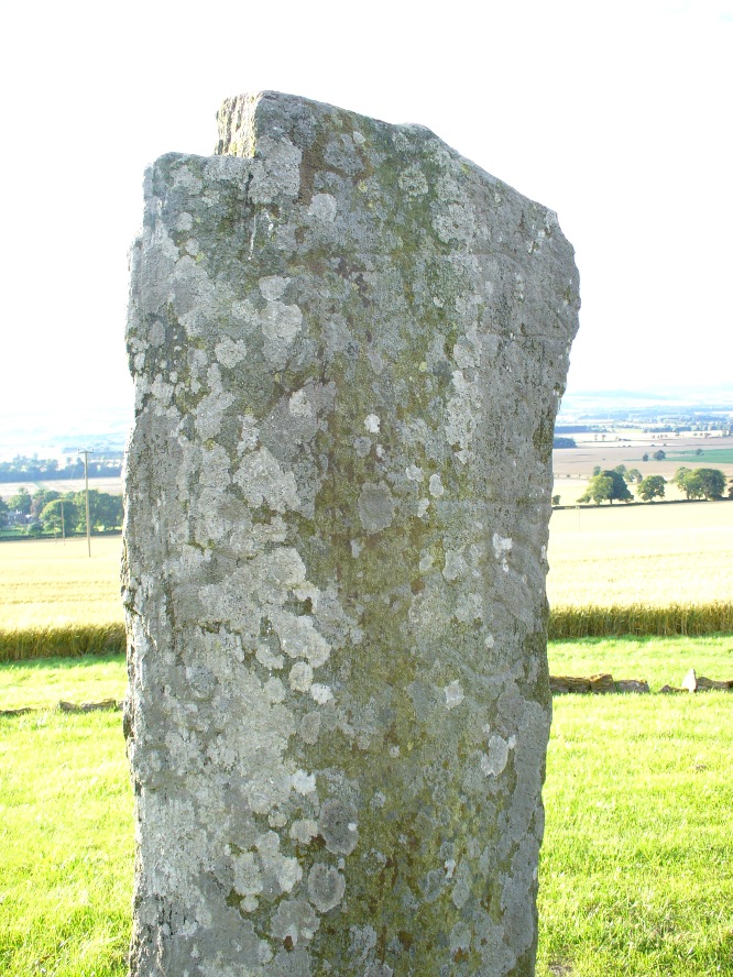
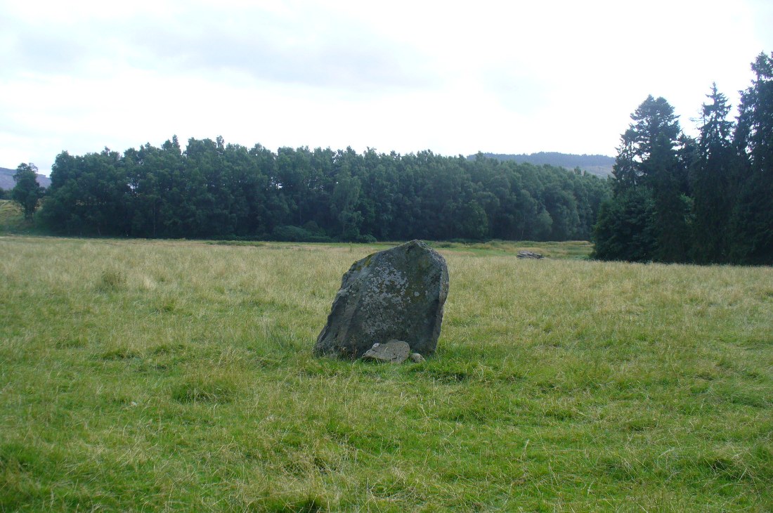
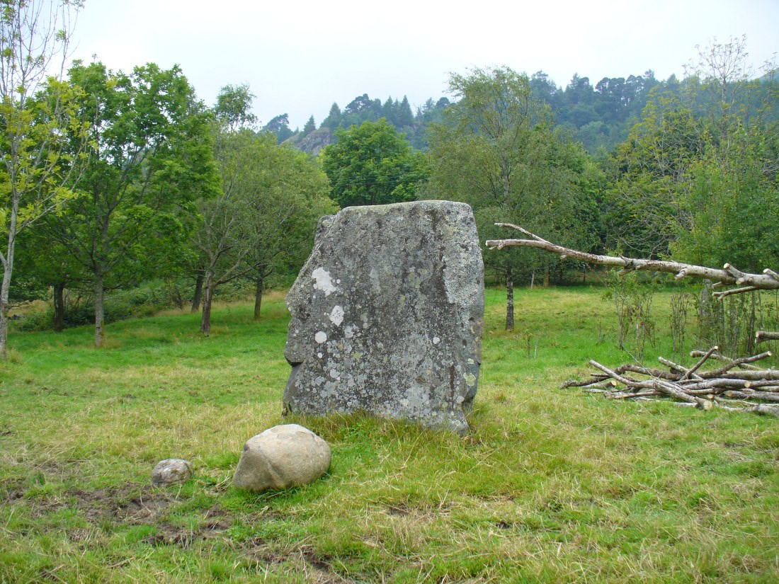
As you can see from the photos, we have a large rock, 5-6 feet long, which was, at some time many centuries ago, split almost straight down the middle, following a natural line of weakness or mineral deposit running through the stone. In all probability this was a standing stone prepared and ready to be used in some neolithic or Bronze Age monument not too far way—but for some reason it never made the journey to its intended spot.
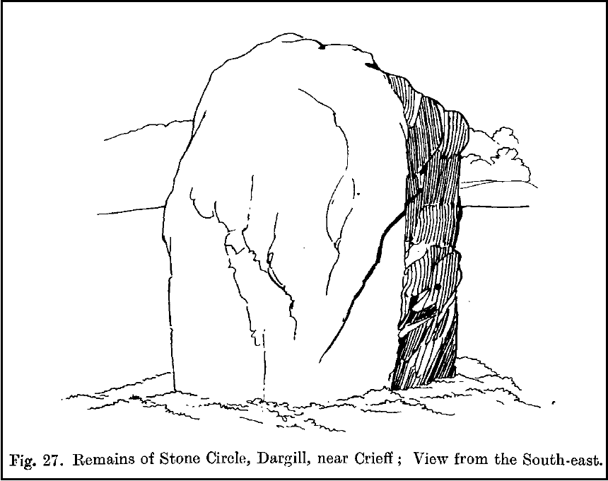
The age of this split rock needs assessing correctly by geologists. Walking around the earthfast halves, it is difficult to see any recent evidence of mason marks that might help us determine when the rock was cut like this. In looking at erosion marks on cut-and-dressed quarried stone from post-medieval periods, we find no equivalent scars on this Split Stone. There is what may be faint evidence of some cuts into the stone at the top and side, but these are very debatable; and very probably it seems that the stone must have been cut a very long time ago, thousands of years back, in order to erode all obvious mason marks. But it would be good to get a geologist to have a look and confirm or deny such things.
…And, as if this isn’t a mystery unto itself: walk across the dried stream and go up the slope right in front of you immediately north. There’s a small, almost level ridge you’ll reach after 30 yards up, before the hill then rises further. If you notice, in the grasses and heather around you, there’s much more of the overgrown ‘walling’ here along this ridge—and some of it, with dips here and there and about three feet tall in places, is in a circle! It’s man-made, it’s a ring of stones, you can see it on GoogleEarth pretty clearly, and it’s not in any official record books.
Watch this space!
© Paul Bennett, The Northern Antiquarian