Kinloch Lodge, Tongue, Sutherland

Cup-Marked Stone:  OS Grid Reference – NC 56201 52713

Also Known as:

  1. Canmore ID 5356
  2. Lochan Hakel A (Gourlay 1996)

Getting Here

Kinloch Lodge carving (by Donna Murray)

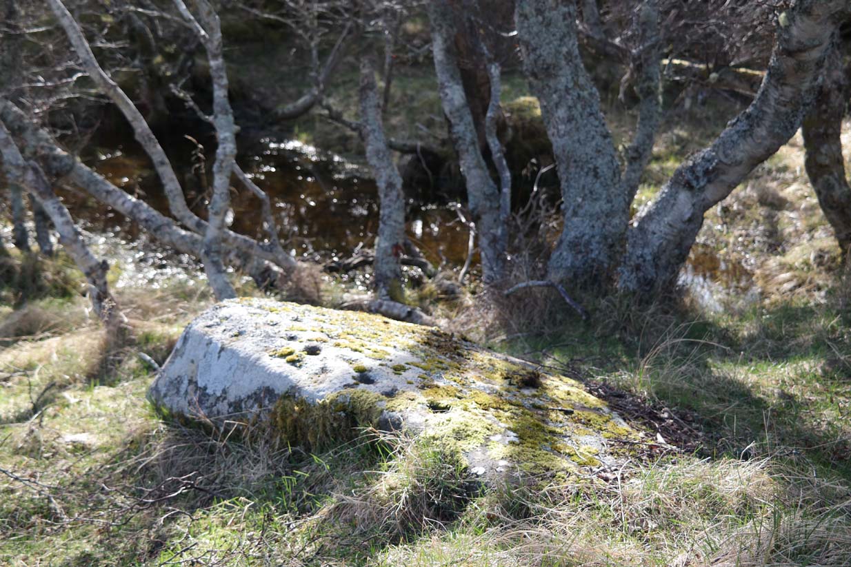
Whether you take the A836 or A838 into Tongue (through truly beautiful wilderness), make sure you go into the village itself—and then keep going, south, along the tiny country road for 3 miles.  Hereby, keep your eyes peeled for Lochan na Cuilce on your right; keep going past here, into and through the old trees where you’ll then see Lochan Hakel on your left.  Keep going past here until your reach the next small copse on your right.  Stop here.  A small pool is yards into the trees and here you’ll see a single stone between that and the roadside.  You can’t really miss it!

Archaeology & History
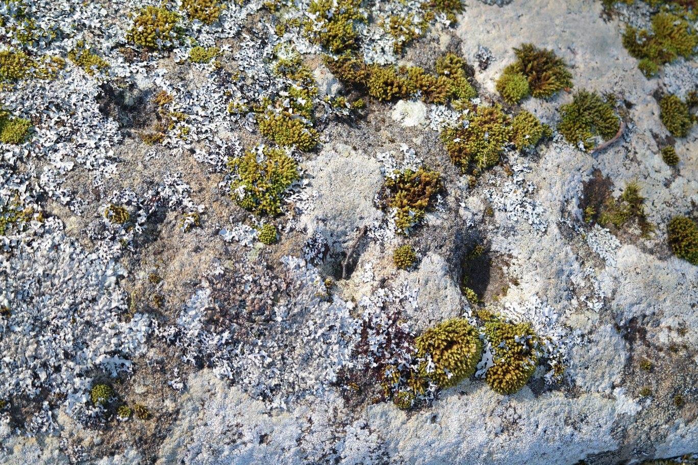
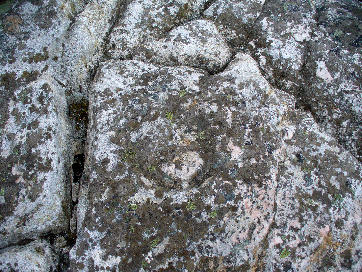
Close-up of some cups (by Donna Murray)

An apparently isolated cup-marked stone, some 3 feet by 5 feet, that was first described in Morrison’s (1883) meanderings amidst Sutherland’s awesome wilderness.  It’s quite plain compared to Lochan Hakel 2 and many other carvings, simply consisting of 18 cups of various sizes, mainly on the eastern side of the rock.  Sarah MacLean pointed out that a line running along the length of the stone seemed, in parts, to have been artificially enhanced by the hand of man, or woman.  I have to agree with her.

The Royal Commission (1911) lads included this petroglyph in their superb survey of Sutherland, telling:

“On the W. side of the road to Kinloch, about ½ m. N of the bridge over the Kinloch River (Amhainn Ceann Locha), and on the N edge of a gravel pit close to the road, is a large earthfast boulder, 5′ in length as far as exposed, and 3′ 10″ in breadth, showing on its upper surface eighteen cup-marks of various depths, of which the most distinct is towards the N end of the stone, measuring about 3″ in diameter and 1″ in depth.  The whole length of the stone is not visible, but the markings do not seem to extend to the portion covered…”
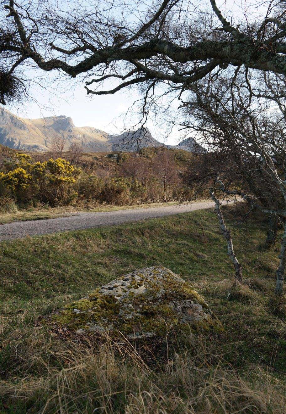
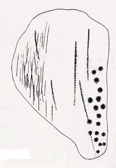
Carving in situ (by Donna Murray)
by Kevin o’ Reilly

Simulacra lovers will love the form of this stone in relation to the background of the mountains, as its shape is echoed in that of the rising hills several miles to the south.  …Of course, the depersonalizing ones amongst you lacking an understanding of animism would reject any such association due to your projection of disbelief.  However—and equally—as we lack any ethnographic data on the carving we must also assume some caution…

A fascinating site – and one which is likely to have neighbours hidden in the surrounding moorlands…

References:

  1. Gourlay, Robert, Sutherland: An Archaeological Guide, Birlinn: Edinburgh 1996.
  2. Michell, John, Simulacra, Thames & Hudson: London 1979.
  3. Morrison, Hew, Tourist’s Guide to Sutherland and Caithness, D.H. Edwards: Brechin 1883.
  4. Royal Commission on Ancient & Historical Monuments, Scotland, Second report and inventory of monuments and constructions in the county of Sutherland, HMSO: Edinburgh 1911.

Acknowledgments:  Huge thanks to Donna Murray for use of her photos in this site profile (aswell as for putting up with me whilst in the area); and also to Sarah MacLean for taking us to the carving in the first place. Many many thanks indeed.  See y’ again soon, hopefully!

© Paul Bennett, The Northern Antiquarian 

Ringstone Carving, Torrisdale Bay, Farr, Sutherland

Cup-and-Ring Stone:  OS Grid Reference – NC 691 616 

Getting Here

Ringstone Carving, looking NW

Take the A836 road between Tongue and Bettyhill, turning down at Borgie Bridge for 1.8 miles (2.87km) until you reach the little information sign at the roadside. Walk downhill and cross the little bridge and wander onto the west side of the beach.  You’re likely to end up daydreaming… so once you’ve re-focussed, head into the middle of the beach and walk up the steep-ish sand-banks to your right (south).  Once at the top, you’ll see a gigantic rock—the Ringstone—bigger than a house.  Walk up the hill above this until your reach the rocky plateau where things roughly level out.  Look around!

Archaeology & History

This previously unrecognised carving on the edge of the rocky promontory that drops down to the stunning Torrisdale Bay—above the gigantic and legendary Ringstone boulder—is very much like the curious ‘C’-shaped motif on the Fyfield Down petroglyph, a couple of miles east of Avebury, literally 499 miles (803km) to the south.  Indeed, that’s all I kept thinking about when I found it!

Ringstone carving, looking S

The carving’s nowt special—apart from the fact that it’s seemingly isolated and has no apparent companions nearby.  It’s an incomplete circle, perhaps more like a bell-shape than a circle, about six inches across and seems to have no inner cup-mark.  Its general appearance on the rock surface seems to indicate it was carved by a metal tool, instead of being ‘pecked’—but it’s still very old.  Initially, I wondered whether it was an ichnological fossil or stromatolite—but it isn’t.

(Note that the OS-grid-ref is just a 6-figure one. I was ambling about and didn’t make an exact note of the place, but it won’t take much finding on the rocky levels above the giant Ringstone if you zigzag about. Apologies for the poor photos too, but She was cloudy most of the day.)

Acknowledgments:  Huge thanks to Donna Murray, for putting me up in this part of Paradise.  Cheers Donna.

© Paul Bennett, The Northern Antiquarian 


Lochan Hakel (01), Tongue, Sutherland

Cup-and-Ring Stone:  OS Grid Reference – NC 56988 52656 

Getting Here

Lochan Hakel’s cup & ring (photo by Sarah MacLean)

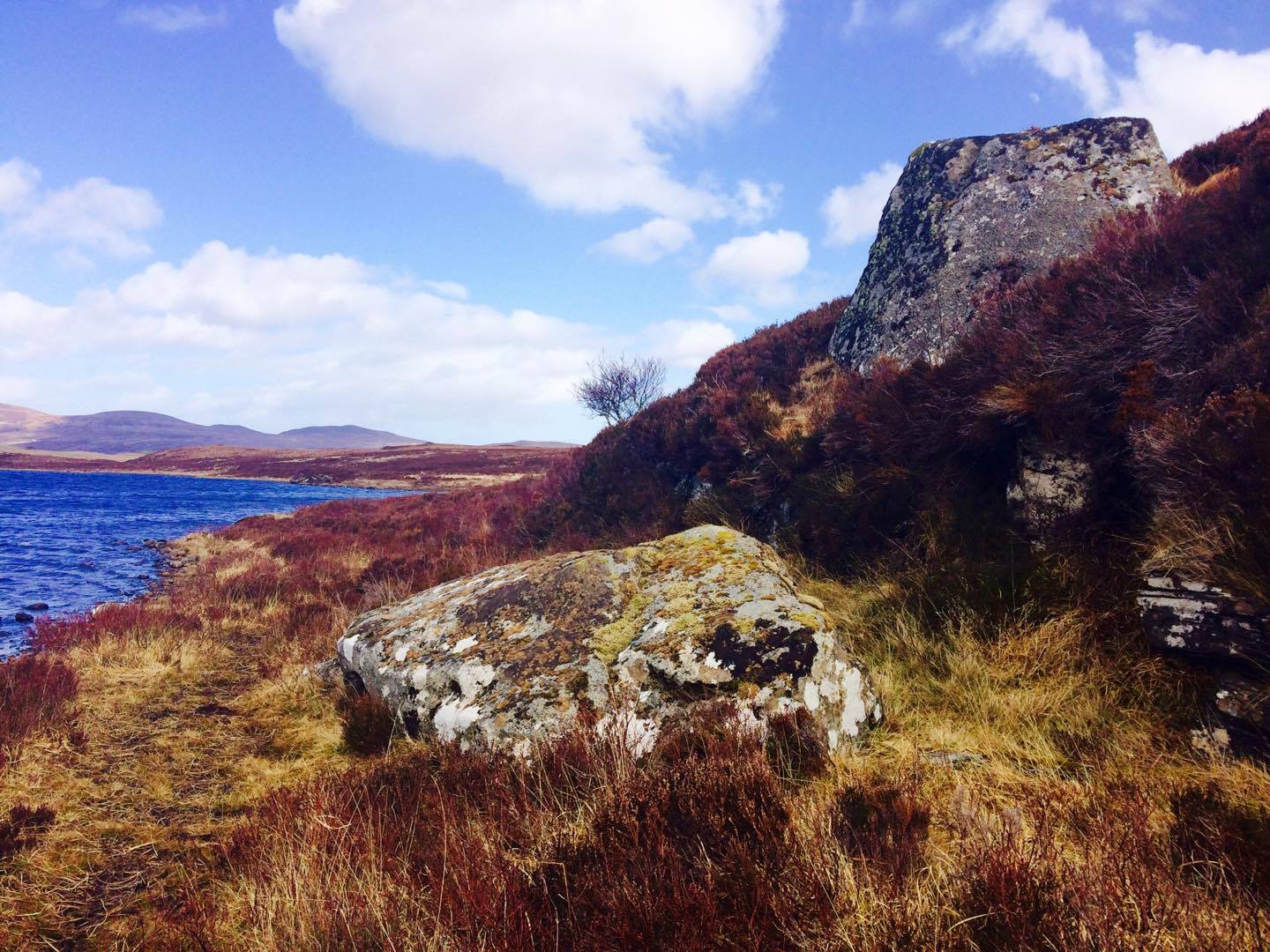
Whether you take the A836 or A838 into Tongue (through truly beautiful wilderness), make sure you go into the village itself—and then keep going, south, along the tiny country road.  Nearly 2½ miles along, note the small loch of Lochan na Cuilce on your right.  A few hundred yards past this, on the other side of the road (barely visible at first) is Lochan Hakel.  Walk around to the south-side of the loch and, across from where the small island of Grianan lives, you’ll see this large rounded boulder by the loch-side.

Archaeology & History

Stuck in a veritably stunning middle-o’-nowhere below the outstretched northern moors beneath Ben Loyal & co, there is no previous literary account of this faded petroglyph, rediscovered in early April 2017 when Sarah MacLean took us on a visit to the more renowned multiple cup-and-ringer of Lochan Hakel 2, just yards away above the moorland rise (which is unmissable from here).  It’s not too special in comparison with its neighbour and many others—but try telling Sarah that!

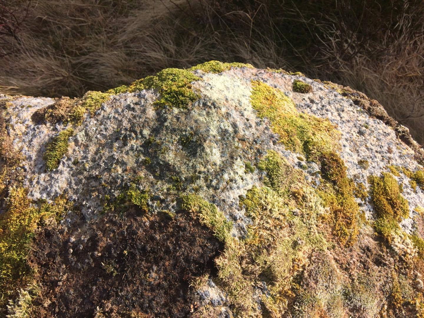
Cup & ring atop of stone (photo by Sarah MacLean)

This large rounded lichen-covered boulder has, at its height, a carved ring around a natural rise—known as a ‘boss’—at the very top of the rock.  On its southern side, Sarah found a single cup-mark, along with a couple of others on the more northeasterly sloping face.  At the bottom of this face is another seemingly isolated small cup-marking.  There may well be other carved elements beneath the mass of ancient lichens, but we thought it best to leave them for the time being.  It’s also quite likely that other unrecorded carvings exist in the area.

Acknowledgments:  Huge thanks to Sarah MacLean, not only for helping to locate this carving, but for use of her photos in this site profile.  Cheers Sarah!  And to Donna Murray, for putting up with me whilst in the area! …Now, let’s find some more of them!

© Paul Bennett, The Northern Antiquarian

Queen’s Cairn, Farr, Strathnaver, Sutherland

Chambered Cairn:  OS Grid Reference – NC 7247 5687

Also Known as:

  1. Canmore ID 6212
  2. Skelpick

Getting Here

The great Queen's Cairn
The great Queen’s Cairn

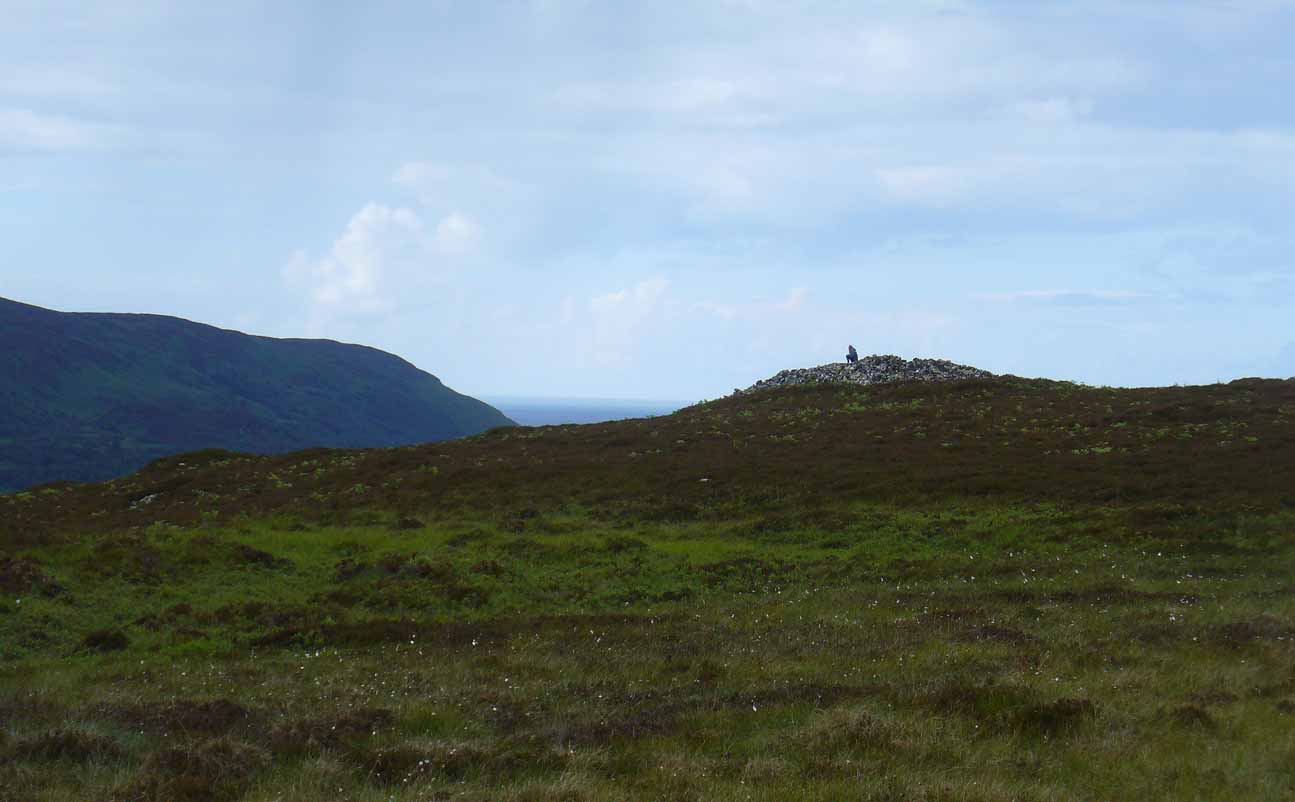
From Bettyhill village, take the road east towards Tongue and Durness.  A half-mile out of the village, at the bottom of the hill, just before you cross the small metal bridge across the River Naver, a very minor road, left, takes you to Skelpick. Go down here and follow the directions to reach the giant long cairn of Skelpick Long.  Once there, walk east up the moorland hill (there are no footpaths) for about 150 yards.  Once on top of the rise, the moorland levels out a little and there, before you, amidst the small overgrown undulations of many old cairns, a giant one rises up to greet you about 100 yards away.  Y’ can’t really miss it!

Archaeology & History

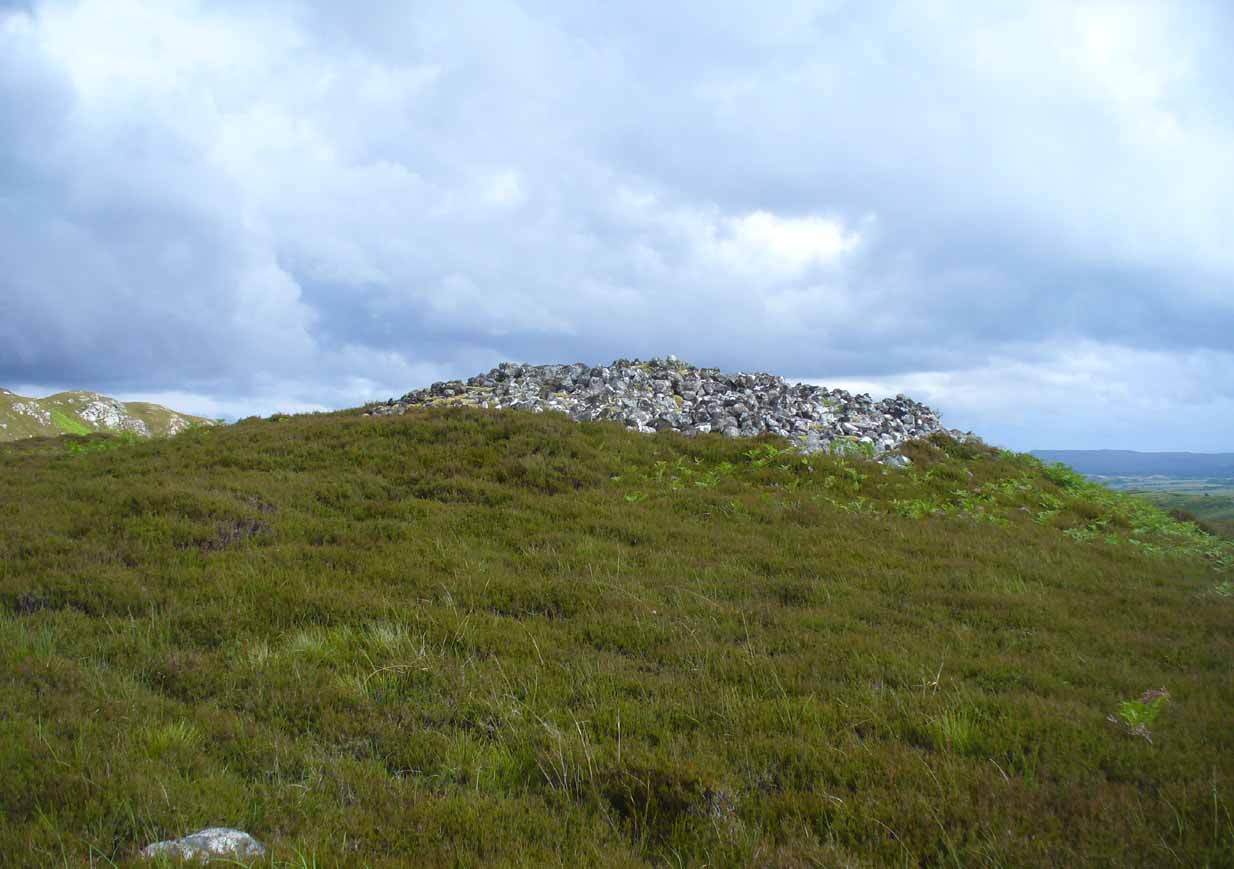
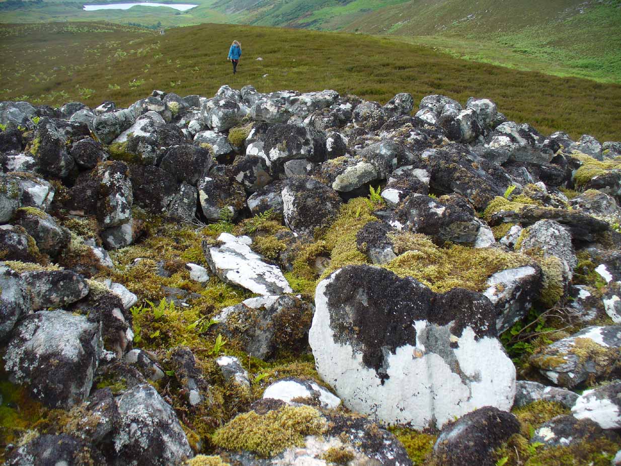
Neolithic in nature, this giant circular cairn, standing on the ridge above the hugely impressive chambered long cairn of Long Skelpick, isn’t quite as grandiose as its neighbour below, but it’s still an impressive feature in this beautiful moorland landscape.  Comprised of tens of thousands of small stones raised to a height of 10 feet above the moorland peat, several ‘pits’ have been dug into the top of this undoubted tomb of regal nature; but whether it was originally the burial-place of a single person, to which were later added members of the same family, is simply unknown.

queens-cairn35
Large rock-covered capstone
Depression atop of the cairn

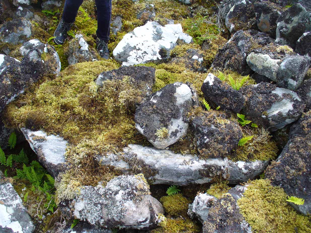
On the top of the cairn, at least one of the ‘pits’ that drop into the centre is covered by a large heavy tombstone with a small upright monolith at its side.  Although the late great Miss Henshall (2005) thought no ‘chamber’ was here, it is very likely that a chamber will be found beneath this large rock-covered flat stone (see photo).  In our visit, a hollow seemed to be apparent beneath this.

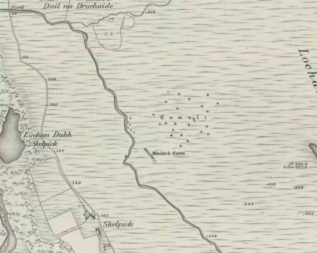
Mass of cairns on 1878 map

Highlighted on the earliest Ordnance Survey map, it was shown to be just one cairn amidst the mass of other smaller surrounding tombs—most of which were probably built for people from the same tribal group.  None of these small cairns have been excavated, but they were probably built after the construction of the major Queen’s Cairn.

The Royal Commission lads visited the site in 1909, but said very little of the place (probably over-awed by Long Skelpick, Coillie na Borgie and other nearby giants!), merely that this large circular cairn has

“a diameter of about 54′.  It is about 8′ high, and though the stones have been pulled about here and there on the top, it does not appear to have been excavated.”

Queen's Cairn, looking north
Queen’s Cairn, looking north

And so it remains to this day—although the cairn is slightly larger than the dimensions given by the Commission boys.  Beneath the encroaching heather, the cairn is closer to 67 feet (10.23m) across, with a circumference of 210 feet (64.25m).

Line of ancient walling nearby

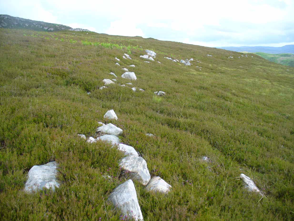
The monument sits on a plateau immediately above the giant Long Skelpick cairn—although neither can be seen from each other.  But if you walk only a short distance from the Queen’s Cairn towards the long cairn below, a very notable and extensive line of ancient walling runs along the edge of the geological ridge separating the two tombs, as if deliberately keeping them apart.  Other lines of ancient walling run closer to the cairn, seeming to indicate that a settlement of some form was also apparent on this ridge, in close connection with the group of smaller burial cairns.

It’s a gorgeous arena with many prehistoric sites and puzzles to behold, and plenty of unrecorded ones nestling quietly in the heather.  It’s bloody superb to be honest!

References:

  1. Gourlay, Robert, Sutherland: An Archaeological Guide, Birlinn: Edinburgh 1996.
  2. Henshall, Audrey S. & Ritchie, J.N.G., The Chambered Cairns of Sutherland, Edinburgh University Press 2005.
  3. Royal Commission Ancient & Historical Monuments, Scotland, Inventory of Monuments and Constructions in the County of Sutherland, HMSO: Edinburgh 1911.
  4. Stuart, John, “Report to the Committe of the Society of Antiquaries of Scotland, Appointed to Arrange for the Application of a Fund left by the Late Mr A. Henry Rhind, for Excavating Early Remains,” in Proceedings of the Society of Antiquaries, Scotland, volume 7, 1868.

Acknowledgements:  Big thanks to Aisha Domleo & her frobbling Lara for our meandering day out to this olde place… Gorgeous! x

© Paul Bennett, The Northern Antiquarian 


Grumbeg, Loch Naver, Sutherland

Cup-and-Ring Stone:  OS Grid Reference – NC 635 384

Archaeology & History

This small cup-marked stone came to light following the work of Mr Angus MacKay of Sutherland, more than 100 years ago.  In his essay in the Scottish Antiquaries journal (1905), he wrote the following:

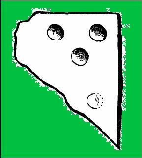
Grumbeg carving

“A cup-marked stone was found by me in the burial place of Grumbeg, Strathnaver, September 1905, standing upright at the head of a grave, and showing about 6 inches above the ground. It is evidently a fragment of a larger slab: its extreme length is 20 inches, and it is about 15 inches at its broadest part. The upper three circles are 2.5 inches in diameter and 1.5 inches deep, very symmetrically hollowed out, but the fourth and lower circle is shallow and indistinct. As the stones covering the other graves are for the most part what is called rough mountain slabs, it seems to me that this cup-marked fragment was found in its present condition elsewhere, and placed here to conveniently show a lair.”

If such was the case, a good contender might be the denuded chambered cairn close by.

References:

  1. MacKay, Angus, “Notes on a Slab with Incised Crescentic Design, Stone Mould for Casting Bronze Spear-Heads, A Cup-Marked Stone, Holy Water Stoup and other Antiquities in Strathnaver, Sutherlandshire,” in Proceedings of the Society of Antiquity, Scotland, volume 40, 1905-6.

© Paul Bennett, The Northern Antiquarian

Smoo Cave, Durness, Sutherland

Cave:  OS Grid Reference – NC 419 672

Getting Here

From Durness take the road east for a couple of miles till you see the signpost which takes you on the left-hand side of the road, down to the coast.  You can’t miss it!

Archaeology & History

Findings here allege to take the history of the place into the mesolithic period, but we don’t know this for sure.  An excavation here by a Mr Donald Macdonald of Sangobeg in 1904 uncovered the presence of several small bone pins, which seem consistent with Mesolithic finds elsewhere.  When archaeo-excavations were done here in 1982, human remains going back to at least Iron Age were found in the simple deposit of many shells.  A further analysis by the Glasgow Archaeology Unit in 1996 was prevented of some excavation by (get this!) those screwy Health & Safety regulations.  Here’s a definite case for an independent group to undertake work here, as we could ignore such preventative measures (and if we drown it’s our fault!).  Smoo Cave’s primary function is pretty obvious: it would have been used for both shelter and ritual. 

Folklore

The folklore here tells of magick and occultism and possible remnants of rites of passage lore. For herein, many centuries ago, a powerful land-owner called Lord Reay — reputed as a master in the black arts — battled with the devil in the Smoo Cave.

The devil was keeping watch on Lord Reay following a previous dispute between the two of them, and espied him as he entered the cave. As Alexander Polson told it, the cave

“consists of three caverns, one within the other. Lord Reay had got as far as the second, and his dog, which had gone on in advance, returned howling and hairless. By this, Lord Reay knew that Satan was there before him, and bravely waited the attack, which was soon made, and his lordship fought lustily. Happily at the opportune moment a cock crew. This frightened the devil and his attendant witches, but Lord Reay stood between them and the exit. In their fright they blew holes through the roof of the cave, and this is the origin of the two openings through which the Smoo burns fall.”

Pitch black cave; protective spirit animal; encountering one’s psychological nemesis; unconscious battles with Underworld forces; rebirth of the sun at cock-crowing time; the conquering of the dark forces and renewal of Lord Reay.  These are typical hallmarks probably signifying folk-remnants of shamanism and rites of passage, for which this cave may once have been used.

References:

  1. Polson, Alexander, Scottish Witchcraft Lore, W. Alexander: Inverness 1932.

© Paul Bennett, The Northern Antiquarian