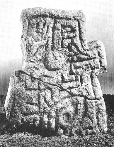
Tumulus (destroyed): OS Grid Reference – NT 0925 2410
Also Known as:
Archaeology & History
Marked on the 1865 OS-map as a “tumulus”, it was destroyed by some idiot in 1818 due to some basic lacking; but we can see from the old map how close it was to the Giant’s Stone on the south-side of the River Tweed, to which it may have had an archaeological connection with. When it was destroyed, the New Statistical Account in 1845 described there being a six-foot long stone coffin (cist) beneath the tumulus, containing the usual burial urn.
Folklore
When the 18th century writer Alexander Pennecuik (1715) wrote about this old tomb, he narrated the tradition of the site as told him by the local people, telling:
“….upon the head of a burn on the south side of Tweed, stands the old-house of Hawkshaw, belonging (to) Porteous, from a numerous race of Ancestor’s Chiefs of that surname. Over against the foot of Hawkshaw-Burn in a Kairn beside the High road is the Giants Grave, so called from a huge and mighty Fellow, that robbed all on the way, but was at length from a Mount in the over side of the River supprised and shor to Death as Tradition goes.”
References:
- Pennecuik, Alexander, A Geographical, Historical Description of the Shire at Tweeddale, John Moncur: Edinburgh 1715.
- Royal Commission on the Ancient & Historical Monuments, Scotland, Peeblesshire – volume 1, Aberdeen University Press 1967.
© Paul Bennett, The Northern Antiquarian

