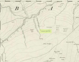
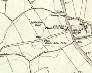
Enclosures: OS Grid Reference – SD 9165 6968
Also Known as:
-
Clouder
Getting Here
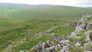
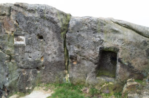
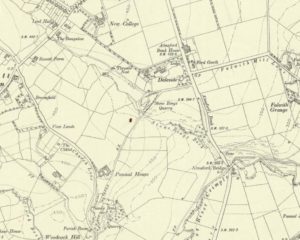
To the right of The Falcon Inn across from Arncliffe village green is a trackway called the Monk’s Way. Walk up here for about 450 yards until there’s a stile on your right which is the start of the diagonal footpath SW up the hillside. Once you hit the limestone ridge several hundred yards up, keep on the path that curves round the edge of the hill for 1.3 miles (2.1km), going over 5 walls until, at the 6th one, you should look uphill, east, at the small cliff-face 100 yards above you. That’s where you need to be!
Archaeology & History
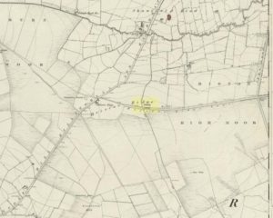
This is one of several clusters of large prehistoric enclosures and settlements in the expanse of land known as Clowder, on the hills 1.65 miles (2.63km) southwest of Arncliffe. It’s in a very good state preservation and, surprisingly, almost nothing has been written about it.
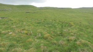
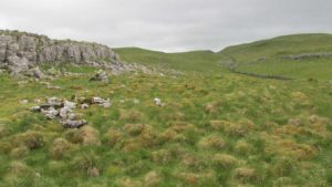
A multi-period site whose construction probably began sometime in the Iron Age (although the old Yorkshire Dales archaeologist, Arthur Raistrick, thought the settlements up originated in the Bronze Age), we can say with some certainty that parts of this complex were definitely being used until medieval times due to the lack of growth on some of the walling.
The entire complex comprises of a series of interlinked walled enclosures running roughly north-south for a distance of more than 200 yards. Along the 200 yards are at least eight conjoined walled sections of varying shapes and sizes. Some of the walling, particularly along its western edges, measuring up to 10 feet across (some of this will be due to collapse) is very overgrown indeed and is probably the oldest aspect of the enclosure. The inner walled sections, much of it leading up to the small cliff face, are rough rectangular structures, each of them averaging 30 yards from their western edge to the eastern cliff and rock faces.
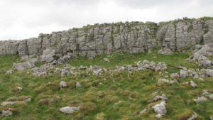
Within the largest and best preserved section at the northern end, a smaller and more recent walled rectangular enclosure would seem to have been used for either cattle or storage of some form, as it’s on too much of a slope to have been viable as a living quarter. Also on the very northern edge is a well-preserved but much overgrown hut circle, between 8-9 yards across.
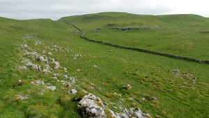
The entirity of Clowder-1 is difficult to assess without an archaeological dig. Despite this, as half of the walled enclosures (in the northern half) are on slopes leading up to the cliffs they would seem unsuitable for people to live in. It is more probable that these sections were used for livestock and other storage. At the more southern end however, the land begins to level out and this would be feasible as good living quarters. There was also once a good source of water immediately beneath the entire complex, but with deforestation the waters eventually fell back to Earth.Back to its southern end and down towards the modern-day walling, some 70 yards on we find more ancient structures of the same architectural form that we’ve just walked along. This lower section has just one notable singular oval-shaped hut circle, 20 yards east-west by 29 yards north-south. Other probable man-made structures seem to be just below this; and this part of the settlement then continues on the other side of the walling, into the large Dew Bottoms (5) settlement complex.
Folklore
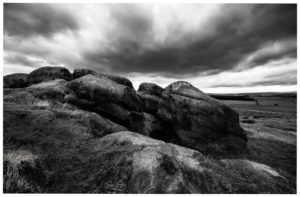
Weather lore of the ‘Clauder’ hill tells that it “draws the skies down” – i.e., as Halliwell Sutcliffe (1929) put it:
“A deluge may be in process on each side of the Clouder when lower down the sun is hot on tired pastures.”
We encountered just such a truth when James Elkington, Chris Swales and I visited the sites up here just a week or so ago…
References:
- Dixon, John & Phillip, Journeys through Brigantia – volume 2, Aussteiger: Barnoldswick 1990.
- Sutcliffe, Halliwell, The Striding Dales, Frederick Warne: London 1929.
Acknowledgements: Huge thanks to James Elkington and Chris Swales, without whose guidance this site profile would never have been written.
© Paul Bennett, The Northern Antiquarian
