Cup-Marked Stone: OS Grid Reference – SC 32144 71990
Also Known as:
- Oatland
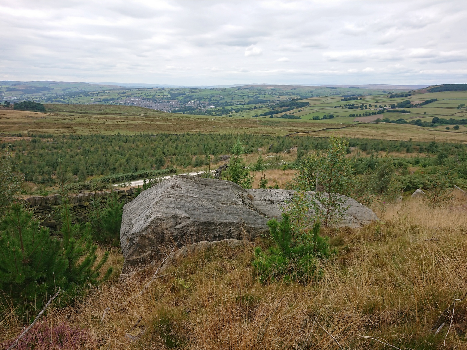
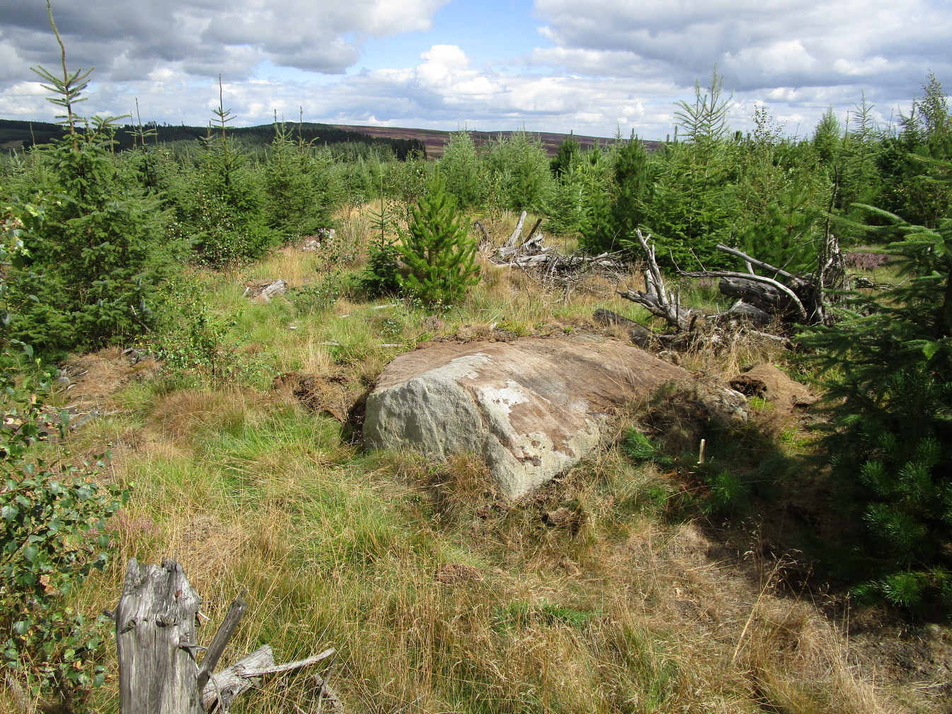
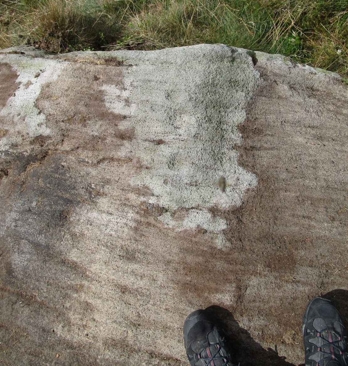
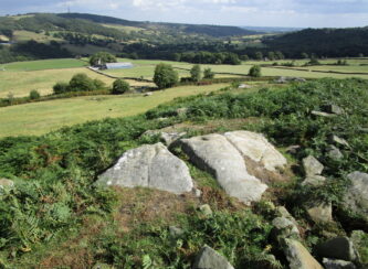
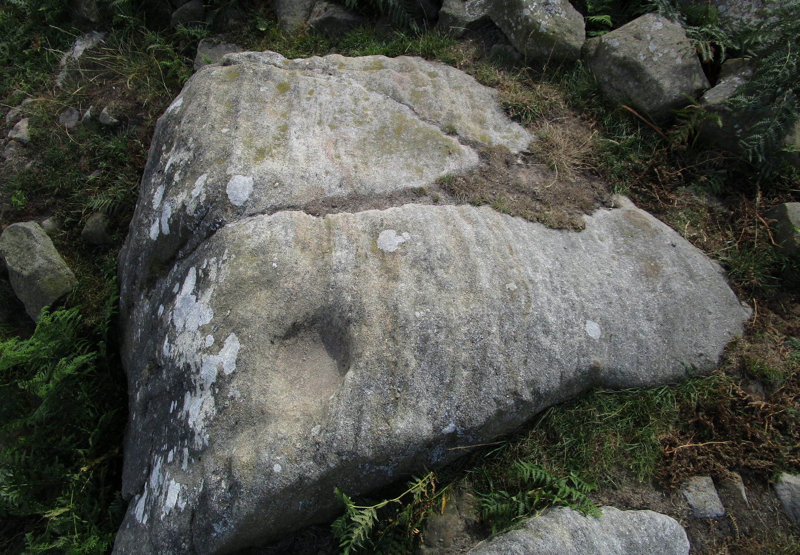
Archaeology & History
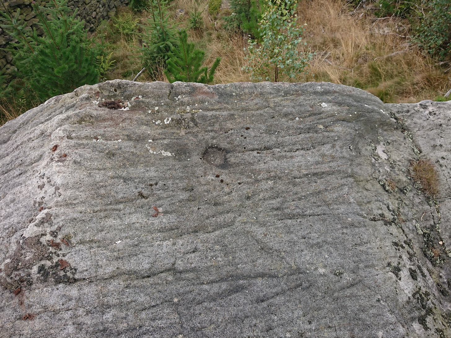
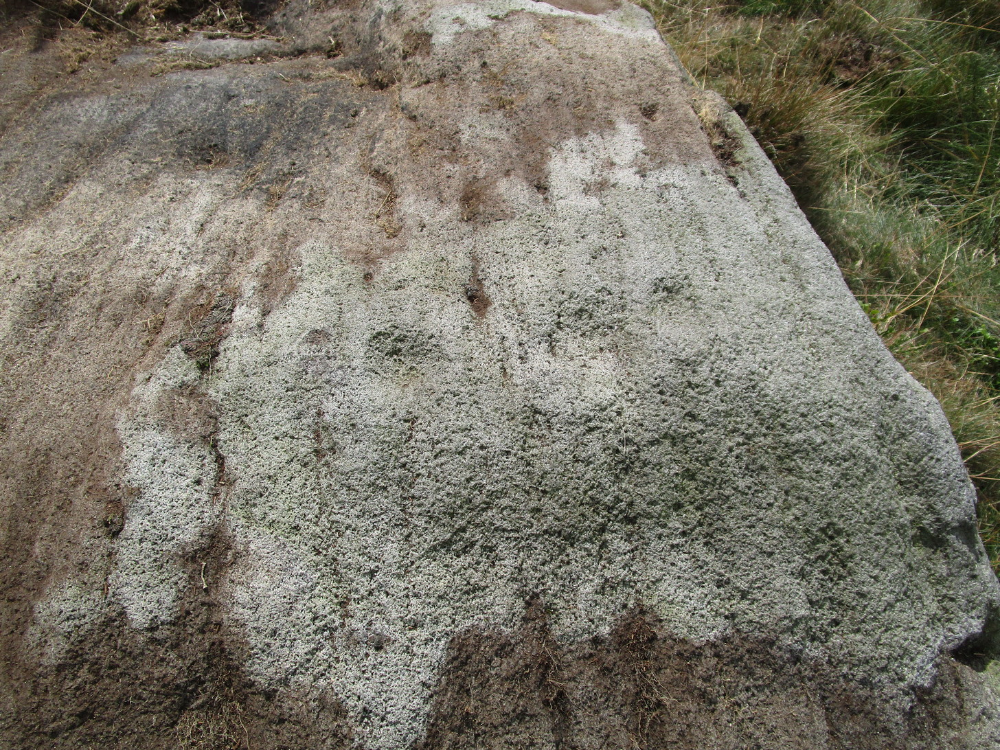
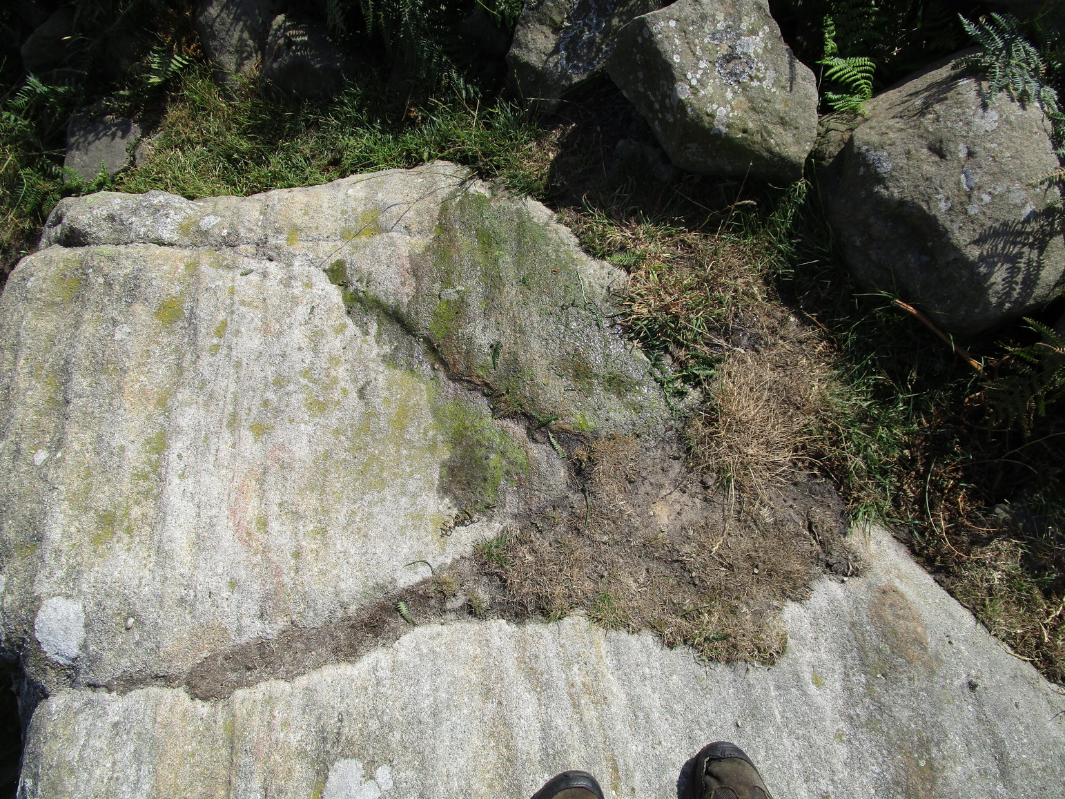
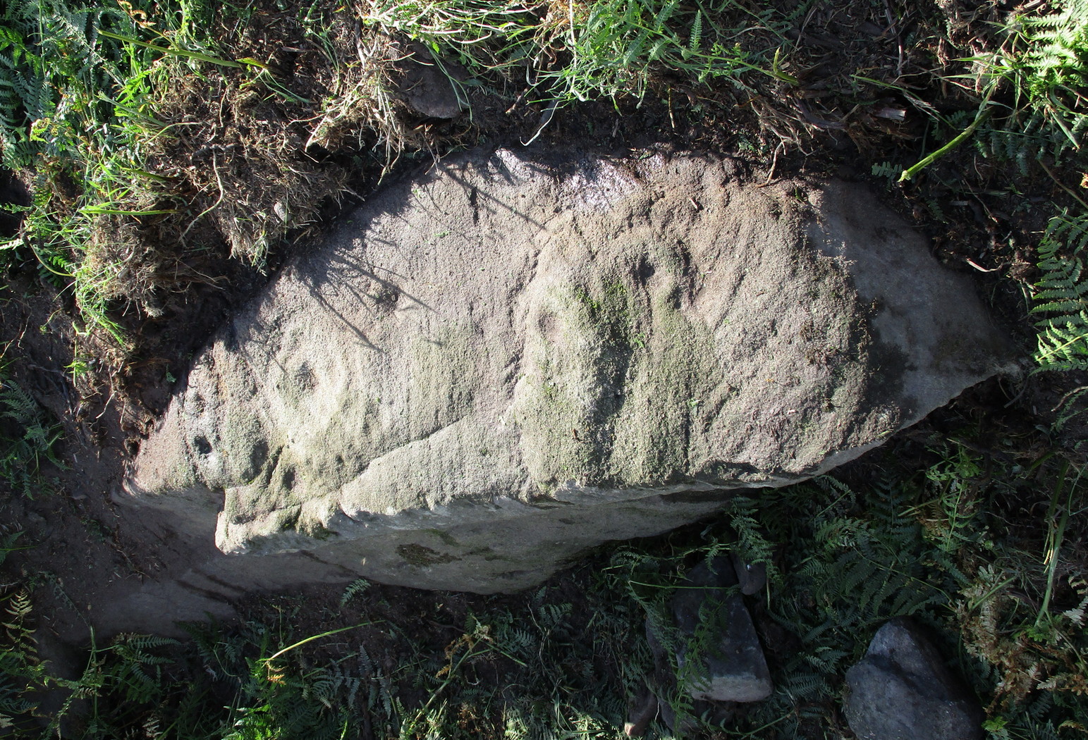
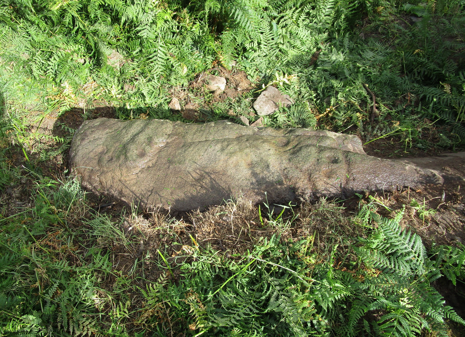
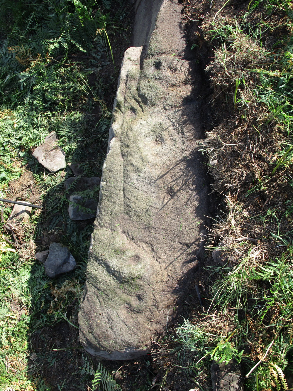
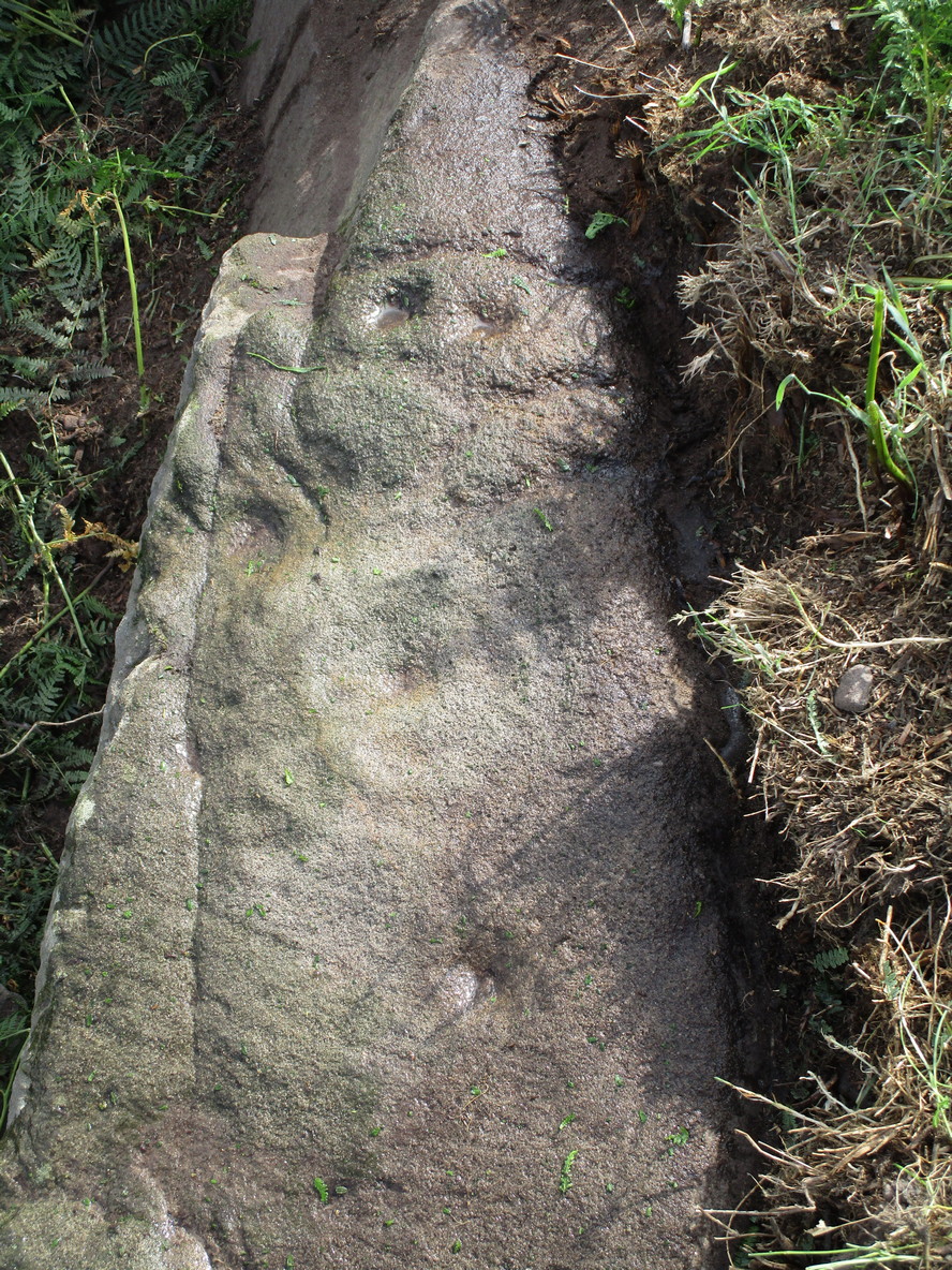
This carving is one that was found inside the remains of a chambered cairn and so, as with all things petroglyphic, it deserves its very own site profile. It’s been mentioned before—in fact many times before, from the legendary J.T. Blight (1868) to our modern researchers—although it was curiously absent in Ron Morris’ (1989) otherwise excellent survey. When Mr Blight described the tomb, he told us that,
“Its outer ring, of which but three or four stones are left, was about 45 feet in diameter; the inner one 15 feet, with a kistvaen in its midst. As on the external face of one of the uprights of the inner circle there are rows of cup carvings … it may be presumed that this was always exposed to view.”
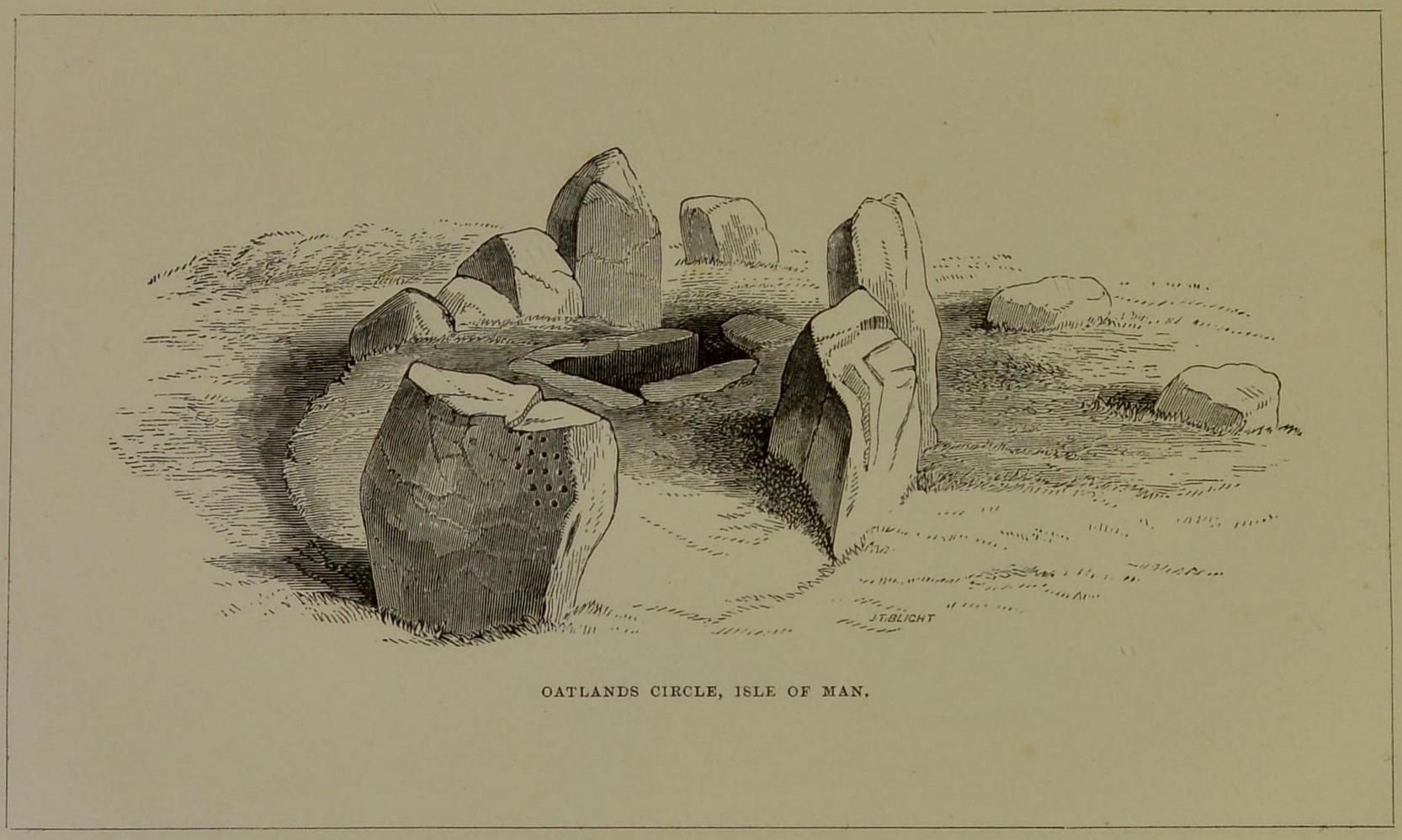
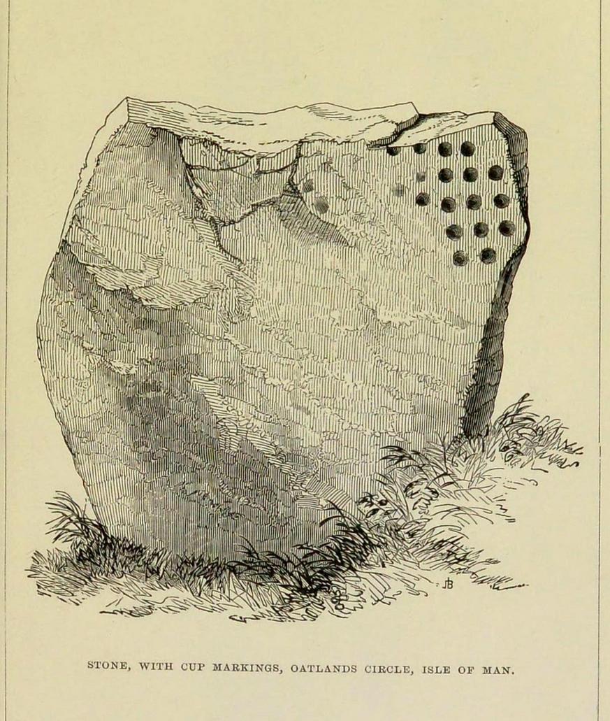
The same year, Barnwell (1868) mentioned the same carvings—albeit briefly—telling us “that one of the stones has several rows of the curious cups.” The design faced to the north, which is the traditional direction relating to Death in most northern hemisphere cultures.
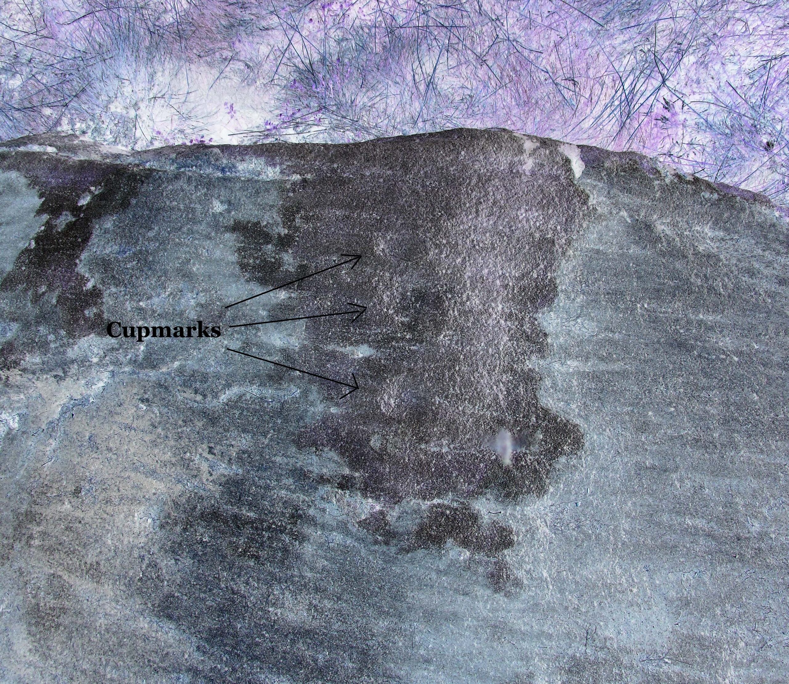
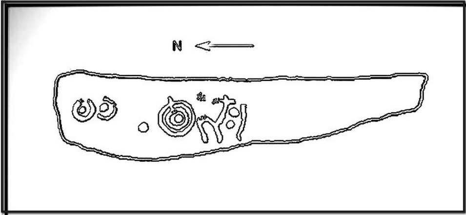
As you can see, this design is similar to other petroglyphs that some students have suggested have a numeric nature (see the Idol Stone on Ilkley Moor for example). You can understand why! The basic linearity of the cups, in rows, certainly gives that impression and indeed it’s not unreasonable to make such an assumption—but, as always, we simply don’t know. A similar design was found on a stone at Ballagawne in the parish of Kirk Arbory, but the cups were much deeper and deemed as being a medieval game played on stone, known as Nine Man’s Morris. The original function of the game may have been divinatory.
References:
- Barnwell, E.L., “Notes on the Stone Monuments in the Isle of Man,” in J.G.,Cumming (ed.) Antiquitates Manniae, London 1868.
- Blight, J.T., “Stone Circles and Megalithic Remains,” in Gentleman’s Magazine 1868.
- Cubbon, A. M., Prehistoric Sites in the Isle of Man, Manx Museum: Douglas 1971.
- Cumming, J.G. (ed.), Antiquitates Manniae, Manx Society: London 1868.
- Gale, J. & Darvill, T., “A Survey of the Ballakelly Chambered Tomb,” in Darvill, & T. Billown (eds.), Neolithic Landscape Project, Isle of Man, 1997, Bournemouth University 1998.
- Henshall, A. S., “Manx Megaliths Again: An Attempt at Structural Analysis,” in P. Davey (ed.), Man and Environment in the Isle of Man, BAR: Oxford 1978.
- Kermode, P.M.C., “The Ancient Monuments of the Isle of Man,” in Archaeologia Cambrensis, volume 84, 1929.
- Kermode, P.M.C. & Herdman, W.A., Manks Antiquities, University of Liverpool 1914.
- Simpson, James, Archaic Sculpturings of Cups, Circles, etc., Upon Stones and Rocks in Scotland, England and other Countries, Edmonston & Douglas: Edinburgh 1867.
© Paul Bennett, The Northern Antiquarian
The map could not be loaded. Please contact the site owner.