Healing Well (destroyed): OS Grid Reference – SE 1286 4007
Also Known as:
- Loadpit Well
Archaeology & History
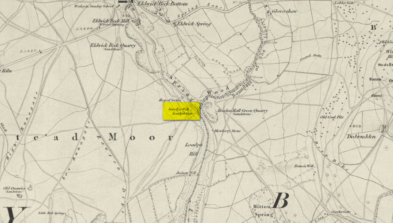
Descriptions of this site are few and far between, despite it having a meaningful name. First recorded on the 1852 OS-map, in the folklore of our ancestors this was a well that local people frequented to wash their face and it was said that the waters would take away the ills of those suffering poor eyesight or other ocular problems. Rags were left hanging over an old rowan tree as offerings to the spirit of the water, in return for curing the afflicted eyes.
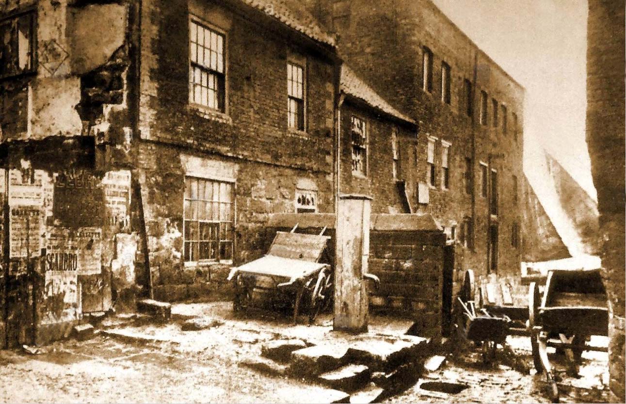
When I first came looking for this as a boy, I was frustrated to encounter the water authority’s metal cover ruining the site completely, leaving nothing of the old well as it once was. Around the metal-cover was evidence of a small rock enclave that would have defined the spring as it emerged from the earth—although it was barely noticeable. The remnants of a small path just to the right of the main footpath that reaches up the hillside is apparent, leading to the well. Below it were the remains of a large, water-worn flat rock, with other stones set to its sides, where the water used to flow and be collected, but today everything’s dried up and there’s little evidence of it ever being here.
References:
- Shepherd, V., Historic Wells in and Around Bradford, Heart of Albion: Wymeswold 1994.
© Paul Bennett, The Northern Antiquarian
The map could not be loaded. Please contact the site owner.