Cairn: OS Grid Reference – NN 88098 27498
Getting Here
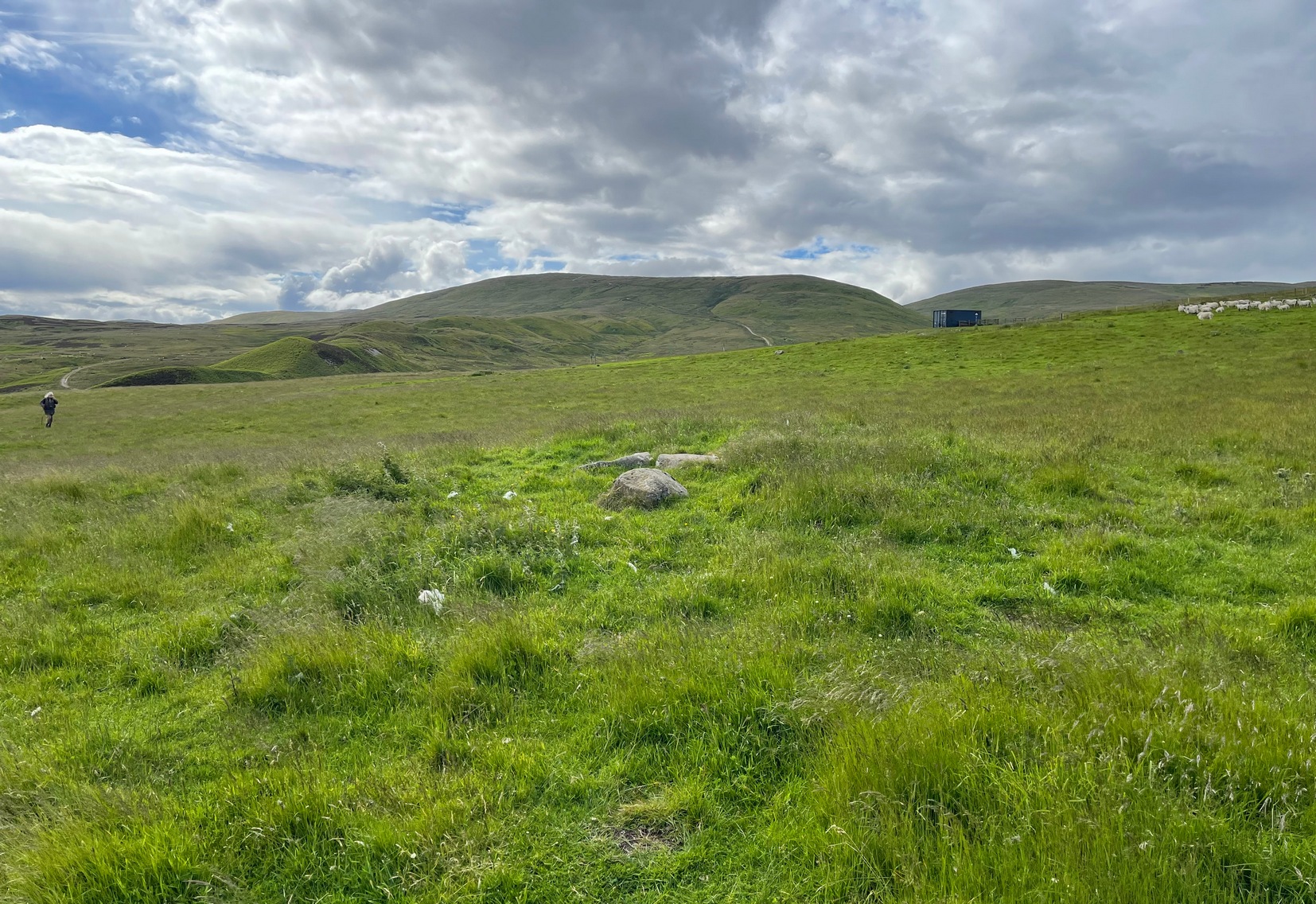
A couple of miles east of Crieff, take the A822 road from the Gilmerton junction and head up towards the Sma’ Glen. After literally 1¾ miles (2.8km), on the right-side of the road, you can park-up right opposite the dirt-track that leads up to Connachan Farm a half-mile away. Walking up and then past the farm, go past the Connachan (2) petroglyph, keeping on the same track uphill and just past the (Connachan 4) carving the land levels out where the track curves. From here, walk to your right, into the grasses, and about 90 yards along you’ll see a small rise in the ground with two or three fallen stones in the middle.
Archaeology & History
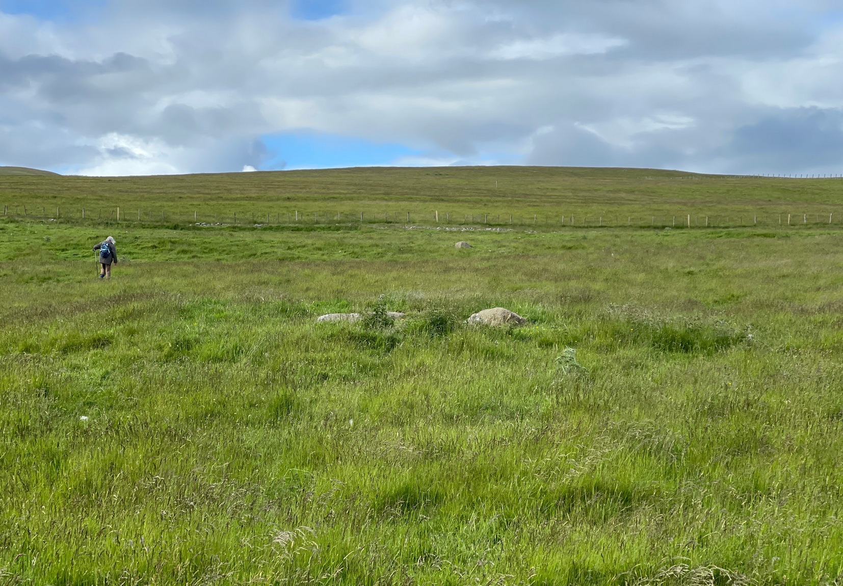
There’s nothing truly notable about this much-overgrown cairn and you could very easily walk past it without noticing it was even there! Much of its original mass has been removed and, no doubt, its stones reused in the old walling a few yards to the north (a long section of that walling appears to have a prehistoric provenance). It measures roughly 10 yards across and its outer edges are clearly visible as a raised grass-covered mound all round, just one or two feet high at the most. Obviously it was much larger when first built, but all that we see now are its final ruins, four or five thousand years after its birth… The one thing of great note here is the view: you’re looking from east to south to west across an awesome landscape for many many miles. Check it out!
References:
- Stewart, Margaret E.C., “Connachan, Crieff – Cup Marks and Hut Circle,” in Discovery & Excavation, Scotland, 1967.
© Paul Bennett, The Northern Antiquarian
The map could not be loaded. Please contact the site owner.