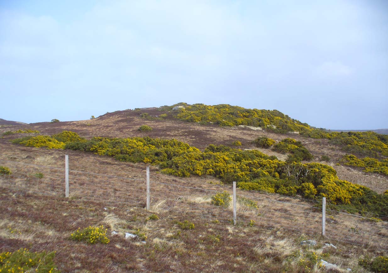
Chambered Cairn: OS Grid Reference – NC 6737 5940
Also Known as:

Very difficult to find under the herbage, but – along the A836 road between Tongue and Bettyhill, turn down at Borgie Bridge towards Skerray. A few hundred yards along, past the third house on y’ right, a path through the gate on the left takes you up the slope. Once you meet the deep-cut dike, follow it north-ish for 200 yards, over the fence; then walk 150 yards towards the eastern edges where the mass of gorse meets with the rocky escarpment. You’re damn close!
Archaeology & History
These days, much of the remains of this neolithic chambered cairn are inaccessible, as it is covered with the spindly-killer-bushes that are the yellow gorse (Ulex eurapæus). A pity. …Just like its fellow chambered tomb of Dun Riaskidh precisely 1½ miles NW, this was also built upon the edge of a natural rocky escarpment with some of the rocks making up the tomb falling to the edges (I nearly fell in and spined misself meandering around its edges!).
Little has been written about it in archaeo-tomes, despite it being first listed in 1947. Presumably neolithic in age, it was first classed as a ’round cairn’ and has subsequently been described by Canmore as,
“a severely robbed, chambered cairn. It is about 15.0m in diameter, with a maximum height of 0.6m in the centre; elsewhere the cairn is reduced to a stony rim and scattered stones. In the centre a chamber is indicated by two opposing earthfast boulders 1.1m apart and protruding up to 0.6m through the cairn material.”
References:
- Gourley, Robert, Sutherland: An Archaeological Guide, Birlinn: Edinburgh 1996.
Acknowledgments: Huge thanks to Donna Murray, for putting me up in this part of Paradise. Cheers Donna.
© Paul Bennett, The Northern Antiquarian
The map could not be loaded. Please contact the site owner.