Enclosure: OS Grid Reference – NN 8884 3155

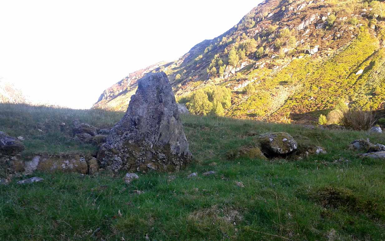
Venture along the A822 Crieff to Dunkeld road, turning down into the gorgeous Sma’ Glen. Nearly 1 mile past Ossian’s Stone, just past where the road crosses the River Almond, walk along the track on your right where the big boulder sits. Past the boulder, walk up the grassy slope to the left. A standing stone will catch your attention, which sits in the walling. Y’ can’t really miss it!
Archaeology & History
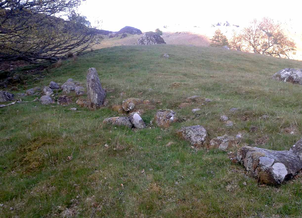
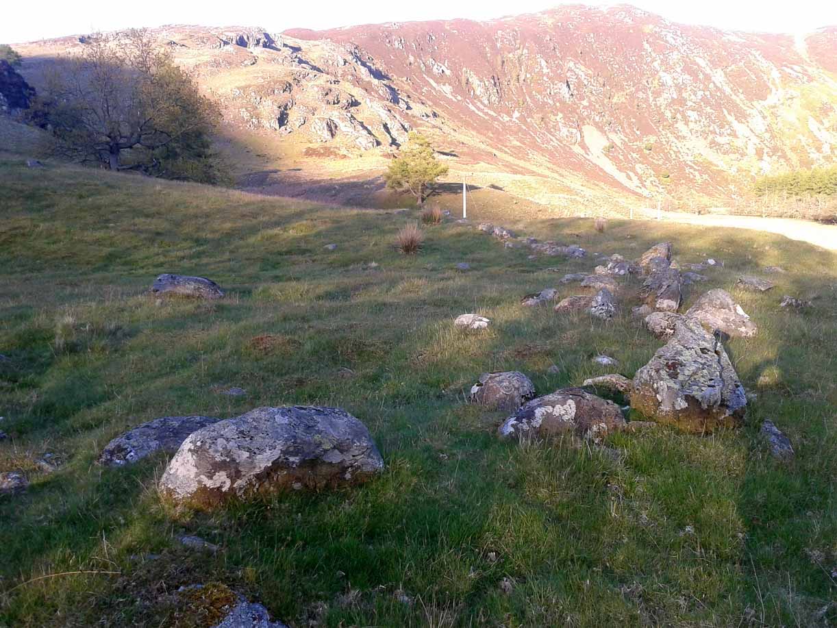
Rediscovered by Paul Hornby in 2015 at the end of a day’s excursion to the neolithic sites a few miles west of here, I can find no references at all to the denuded remains of what seems to be a typical prehistoric enclosure.


Constructed around a natural rise in the land 60-70 yards above the River Almond, the enclosure has that ‘Iron Age’ look about it (it may be earlier). Shaped like a giant ‘D’ (and clearly visible on GoogleEarth), the extensive walling that makes up the site—about a yard wide all the way round—is far from small, measuring some 60 yards (54.8m) at its greater longer axis roughly north-south, by 54 yards (49.5m) east to west, with a circumference of about 170 yards (155.5m). The much-denuded walling that defines the perimeter is comprised of a number of large stones with thousands of smaller packing stones that are mainly overgrown. A large ‘standing stone’ about 3 feet tall is the most notable feature nearly halfway along the western wall.

In all probability this enclosure would have been in use since its construction in the Iron Age period all the way through to the coming of Fuadach nan Gàidheal (the Highland Clearances) in the 19th century, as the people here were pragmatists who made best use of what was around them. It is likely to have ended its days as an area where cattle was contained.
Acknowledgements: Huge thanks to Paul Hornby for his assistance with site inspection, and additional use of his photos.
© Paul Bennett, The Northern Antiquarian
The map could not be loaded. Please contact the site owner.