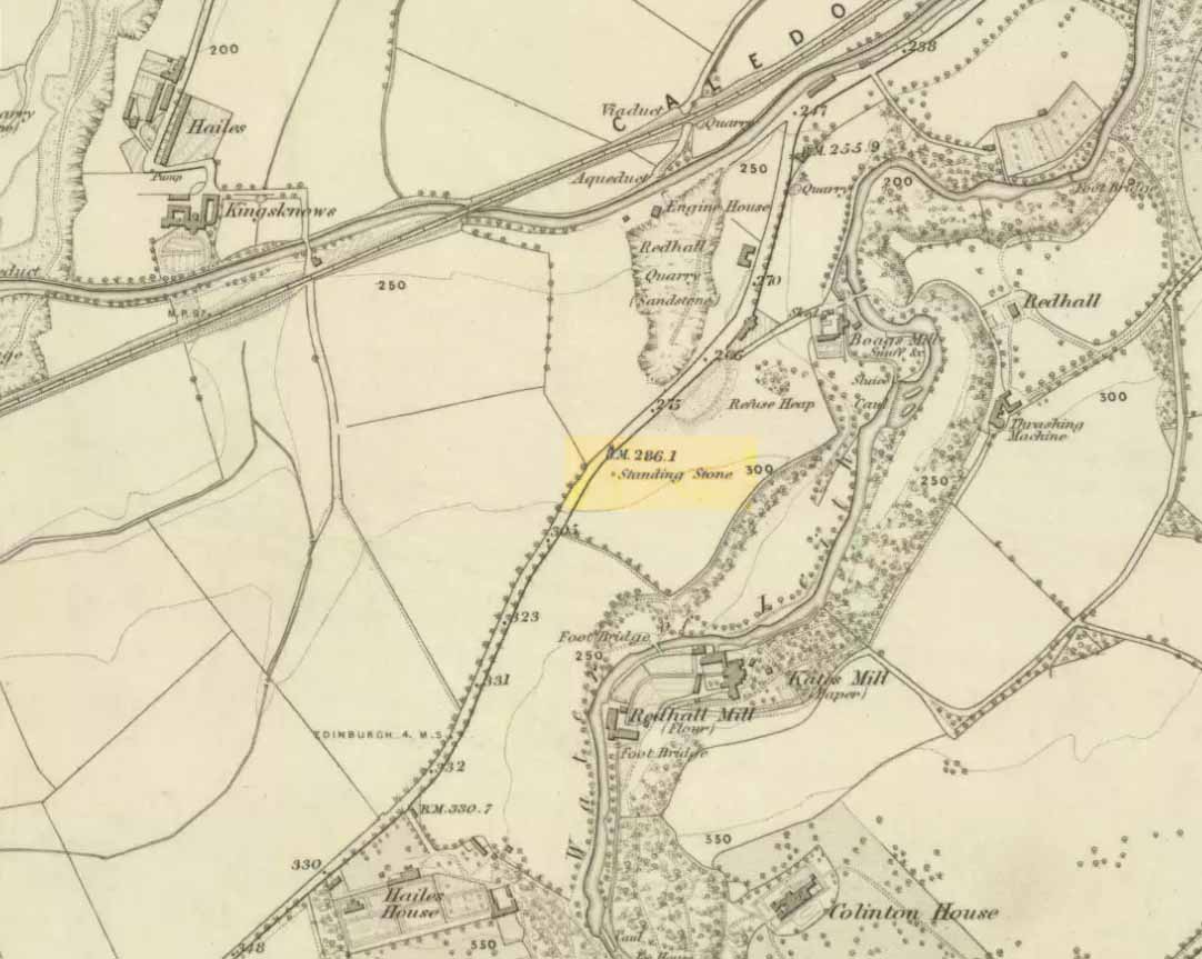
Standing Stone (destroyed): OS Grid Reference – NT 2139 7001
Archaeology & History

Highlighted on the earliest OS-map of 1855 and the Knox Map of 1816 in non-antiquated lettering as a ‘Standing Stone’, the Edinburgh historian Stuart Harris (1996) thought it was an authentic site. He was probably right. First named in land rentals in 1631, it was known by local people as the Clovenstone and used to stand in a park of the same name, before quarrying works extended into the area and destroyed it in the 1870s. Mr Harris thought that it may have been a pair of uprights, but the term ‘cloven’ could just as well mean it was a stone that had a split in it.
References:
- Harris, Stuart, The Place-Names of Edinburgh, Gordon Wright: Edinburgh 1996.
© Paul Bennett, The Northern Antiquarian
The map could not be loaded. Please contact the site owner.