Holy Well: OS Grid Reference – NS 9112 9166

From Clackmannan village centre (with its huge phallic stone), at the crossroads take the south road, Port Street. Walk on here for 100 yards or so and the aptly named Ladywell Grove appears on the right. Walk past there and take the next right down Craigie Road. The original well was barely 50 yards along where the garden edges are today, within yards of the OS-grid ref; but walk another 100 yards down and, by the roadside is a waterworks cover.
Archaeology & History

One of at least three ‘Lady Wells’ that are known in tiny Clackmannanshire—and, like the others, it has not fared well. Not included in either of the major surveys (MacKinlay 1893; Morris 1981), nor referenced in the St. Bartholomew’s Day celebrations once held in the village. It is listed only in passing by Walker (1883) and Simpkins’ (1914) and I can find no references to it in the local history works. Yet it appears in differing place-name forms on the earliest Ordnance Survey maps and its name is still retained in streets-names here.
Whether this old spring of water was dedicated to St. Mary (as the majority of Lady Wells in Britain tend to be), or it was named after a local lady, history records seem quiet on the matter.
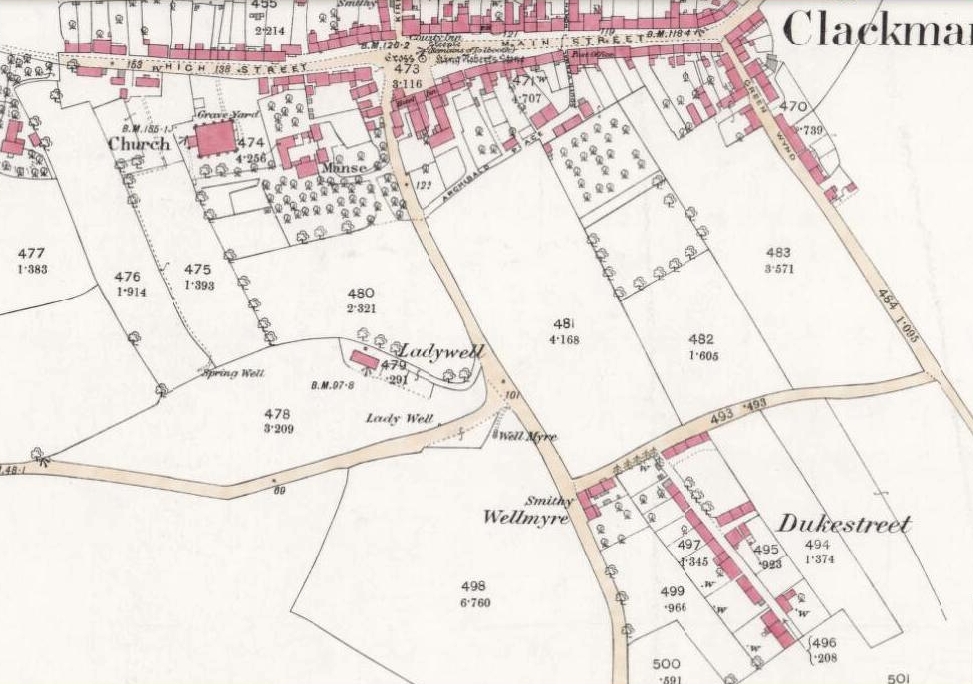
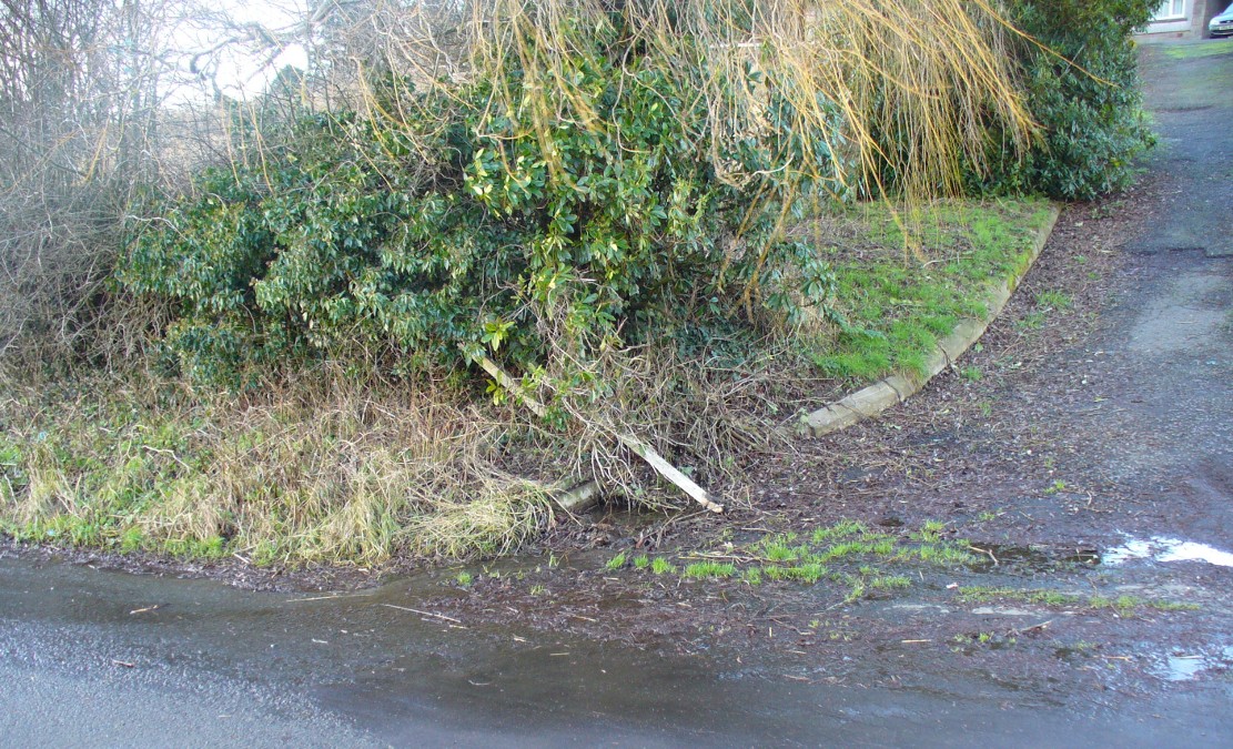
The original spot for the well (highlighted on the 1866 OS-map above) is covered in shrubs and seems to be gone. But another 100 yards down the road, a water-cover regularly overflows during heavy rains and this may be where its waters were diverted to.
References:
- Simpkins, John Ewart, County Folklore – volume VII: Examples of Printed Folk-Lore Concerning Fife, with some Notes on Clackmannan and Kinross-Shires, Folk-Lore Society: London 1914.
- Walker, J. Russel, “‘Holy Wells’ in Scotland,” in Proceedings of the Society of Antiquaries of Scotland, vol.17 (New Series, volume 5), 1883.
© Paul Bennett, The Northern Antiquarian
The map could not be loaded. Please contact the site owner.