Cairn: OS Grid Reference – SE 1421 4512

From Burley train station walk up the road, turning right as you meet the moorland road. Go on for a couple of hundred yards until you run parallel with the Coldstone Beck stream. Walk up here for about 800 yards until the full moorland begins to open up ahead of you. Walk up the slope on your right (west) about 30 yards above the first of the ruined grouse-butts, towards the scattered mass of rocks before the small crags. The small standing stone on the edge of the ruins will catch your attention!
Archaeology & History
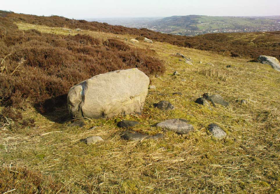
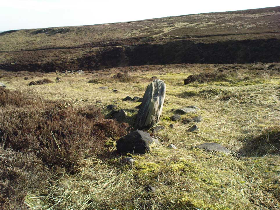
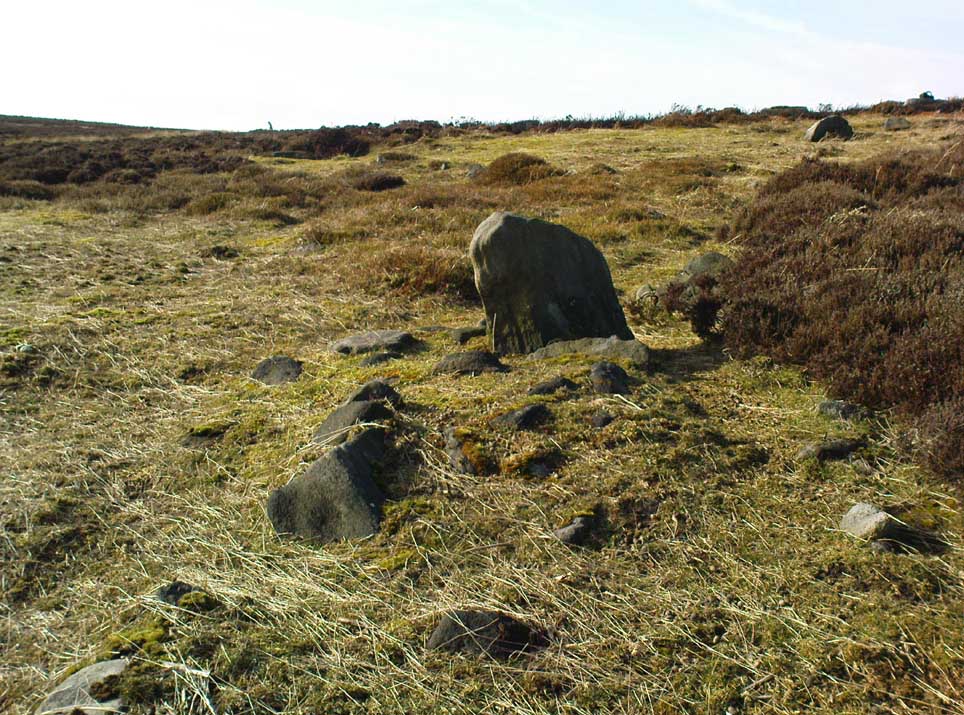
A fascinating small cairn which initially had us puzzling as to its very nature. Was it a cairn? Or was it a section of prehistoric walling? The former would seem to be the more likely, though an excavation here would obviously be helpful.


Scanning the Earth hereby we found no surface remains, merely a section of disturbed ground where the small stones were placed and, obviously, removed in some number not too long ago. Stones from the cairn had obviously been robbed to construct the grouse-butts close by (something the local council officials seem to find acceptable). It would appear to be consistent in structure with many of the other cairns on this moorland, some of which are neolithic, but the majority date from the Bronze Age.* This particular cairn seems to be Bronze Age in nature.
The most defining element in the cairn is the small standing stone, less than two feet tall above ground level, within the southwestern area of the denuded tomb. No carvings could be noted on the stone, nor marks of any significance on the other smaller stones. Another cairn of similar age but in much better condition—the Coldstone Beck Cairn 01—can be seen when the heather’s burnt back, some 20 yards north.
* More than 100 singular small cairns exist around here, most of which have never been archaeologically assessed.
© Paul Bennett, The Northern Antiquarian
The map could not be loaded. Please contact the site owner.