Standing Stone: OS Grid Reference – SD 95355 30184

From Hebden Bridge, go up the Heptonstall road, going round the village and onto and through Slack, keeping straight on the road until it goes uphill for a short distance, then levels out; then watch out for the small right-turn and the single-track road heading to a dead-end. Go right to the end, the very end, and go through the gate and walk up the track onto the moor. As you reach the ridge and the moorlands north open-up before you, note the small ‘standing stone’ on your right, about 10 yards off-path. Go up past it, following the path up the small hill and keep going till you hit the triangulation pillar. From here, keep walking on the same path ESE for another 200 yards. Y’ can’t miss it!
Archaeology & History
The name of the place rather gives the game away a bit, yeah…? When I first moved to nearby Hebden Bridge in the 1990s, I noted the conspicuous place-name ‘Standing Stone Hill’ on the maps — so when I met local earth-mystery enthusiast John Billingsley and asked him about any remains up here, he said, with conviction, “there’s nowt up there!” (or words to that effect)
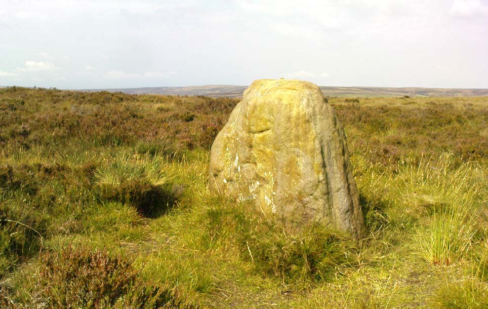
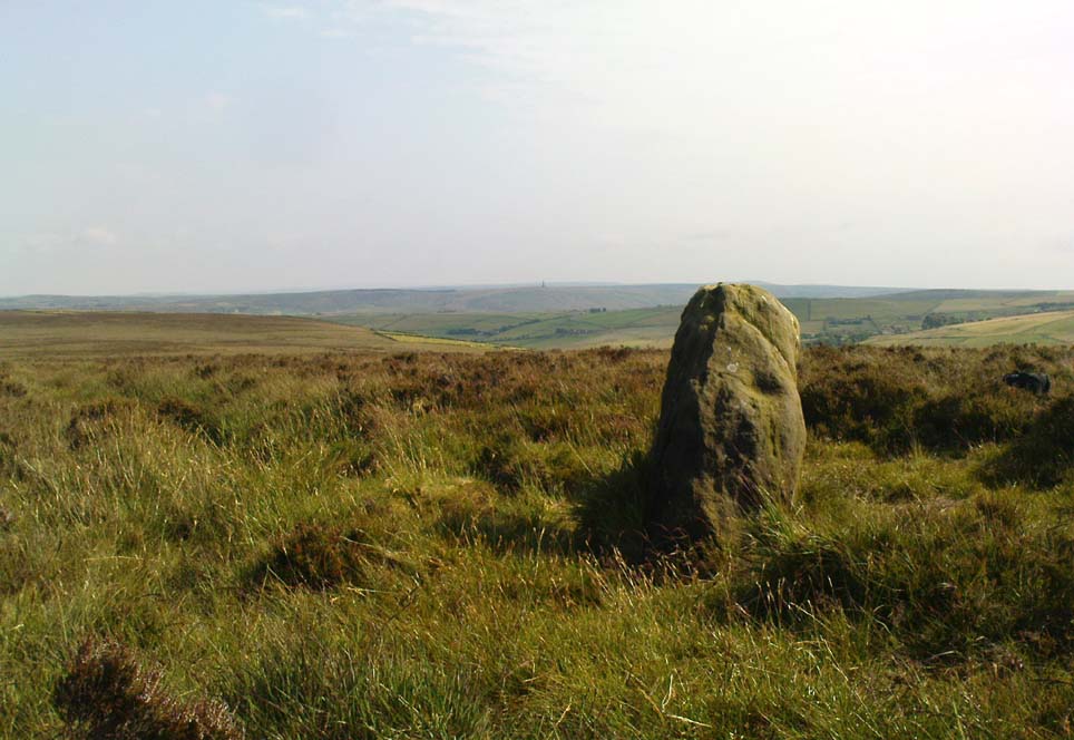
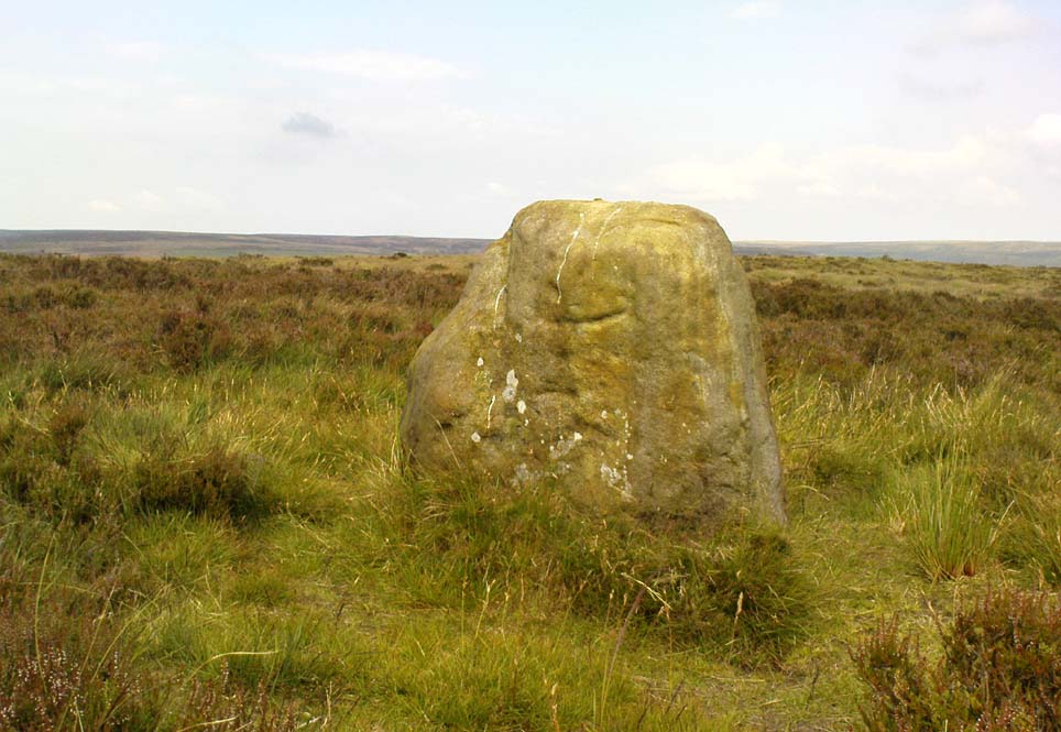
“Are y’ sure?” I asked. To which he repeated his dictum. But I wasn’t convinced of his words and, like any decent chap with energy for old stones and such things, wouldn’t take ‘no’ for an answer and went to check for myself – and wasn’t too surprised when I found this lovely looking standing stone — and a fine specimen of a monolith it is indeed!


Although not a tall specimen by any means, this rounded and weather-worn upright has fine character and age to it. Standing more than 3 feet in height and nearly as wide, the stone has a faded but distinct artistic carving of the letter ‘T’ on its western face (which you can make out on the photo, hopefully). It was thought this may have been an old boundary marking, but the stone aint on any boundary line so possibly relates to some local family who marked it with that deluded notion of ‘ownership’ of this part of the desolate moors.
It’s a beautiful spot up here, out on its own. I’ve sat here many times, both alone and with good heathen friends, gazing across the endless silence on days coloured with snows, mists, bright sunshine and heavy rains. It has that feeling of solitude, of being forgotten, of being truly untouched.

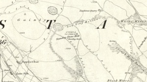
There are a couple of other possible standing stones on this section of moorland. One in particular appears to have been taller in bygone times and is marked on the 1851 OS-map of the region about 100 yards southwest of the triangulation pillar (you’ll notice it on your right, off-path, as you’re walking towards the pillar—shown at the position on the map here, right). Further west is the tall medieval Reaps Cross, where corpses were rested in their journey over the moors.
References:
- Bennett, Paul, The Old Stones of Elmet, Capall Bann: Milverton 2001.
© Paul Bennett, The Northern Antiquarian