Settlement: OS Grid Reference – SD 6474 4584

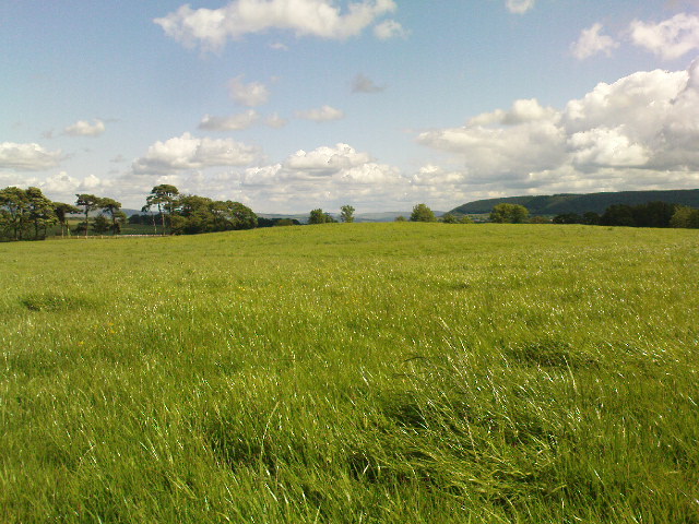
From the village of Chipping, go along Talbot Street until it meets Green Lane and there, on the left, there runs a country lane roughly northwards. Go along this and after about 1½ mile, watch out for the track of Quiet Lane on your left. Go all the way up this track for nearly 1½ mile, till you reach its end. Diagonally across to your right, note the stile into the field. Go over this and, some 50 yards across the field, look to your south where the field rises to its small peak. This is the site.
Archaeology & History

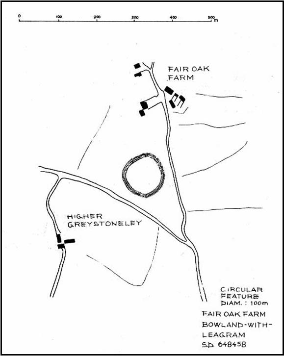
Although little can be seen of this site at ground level, aerial photography in the 1980s identified a large circular earthwork at Fair Oak Farm. The circle has a surrounding ditch and bank enclosing a raised circular mound of approximately 100m in diameter. It is thought that the feature may represent Bronze/Iron Age settlement in the area, and may possibly be a village site. The site requires further survey.
Aerial photography has identified a number of possible settlement sites in the area between Dinkling Green and the River Hodder at Whitewell and in the area around Whitmore below Totridge Fell. The largest being that at Fair Oak.
Folklore
Jessica Lofthouse (1946) told of a number of places close by that were said by local people to be inhabited by faerie folk — Fair Oak itself being no exception. Hinting of earlier heathen gatherings, she wrote:
“As for the farm of Fair Oak, where we take the path to Dinkling Green, nearby was the fairy oak, the scene of so much midsummer revelry.”
References:
- Dixon, John, The Forest of Bowland, Aussteiger Publications: Clitheroe 2004.
- Lofthouse, Jessica, Three Rivers, Robert Hale: London 1946.
© Paul Bennett & John Dixon, The Northern Antiquarian
The map could not be loaded. Please contact the site owner.