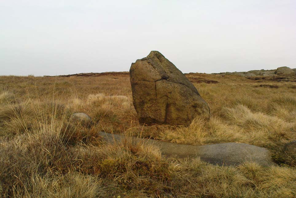
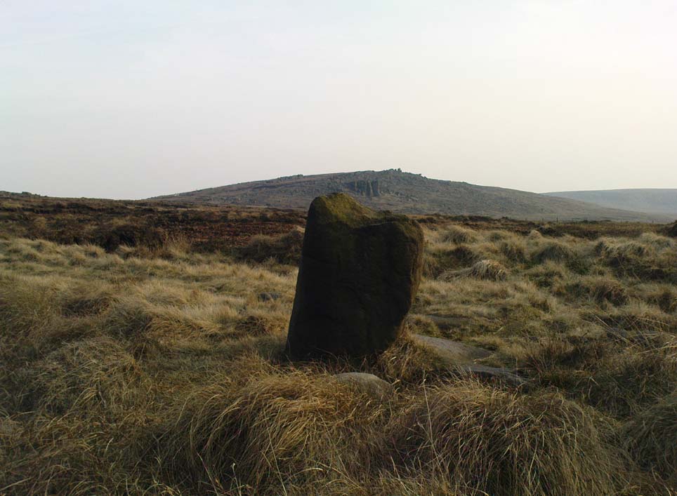
‘Standing Stone’: OS Grid Reference – SD 97239 17135

Get up to the Aiggin Stone and turn your back to Robin Hood’s Bed and Blackstone Edge, facing (roughly) north. There’s a small path just to the left of the Aiggin Stone, running northwest (don’t take the more pronounced footpath on its right, or you’ll get a bit lost). Walk down this path for about 60-70 yards and you can’t miss it!
Archaeology & History
Initially I thought this was the stone described in James Maxim’s (1965) exploratory study of the ancient route of the Long Causeway, not far from the Aiggin Stone, running up between Littleborough and Sowerby Bridge, across the Yorkshire border — but I quickly realised my error! Maxim’s upright was one of the boundary markers and is a good 100 yards away from this little fella, seemingly divorced from history. But he’s a curiosity that could do with an explanation…

The stone is less than a metre tall but appears to have had been a little taller in earlier days, having the top of it knocked off — either accidentally or otherwise (someone suggested that the small stone on the ground by its side was once the top of the stone). It stands just a yard to the side of an old causeway running from the disused quarries a few hundred yards away, up to the Aiggin Stone. It may have been an old wayside marker stone. It’s certainly old and nobody seems to have said owt about it, so I thought that I’d highlight it here. Any further info on the little fella’s history would be most welcome!
In the heathlands above here we found remains of old walling in the edge of the ancient peat, some of it cutting through into view and some of it still beneath the surface. There wasn’t much of it (though we weren’t here for long), but it looked familiar and old… How old is hard to say at the moment. Who built them? How much more can be found nearby? Were they part of the quarrying operations, or destroyed by them? Anyone know owt more?
References:
- Maxim, James L., A Lancashire Lion, J.L. Maxim Trustees: Leeds 1965.
© Paul Bennett, The Northern Antiquarian
The map could not be loaded. Please contact the site owner.
It’s difficult to date stuff as it’s all been quarried and there was a Civil War fort up there.