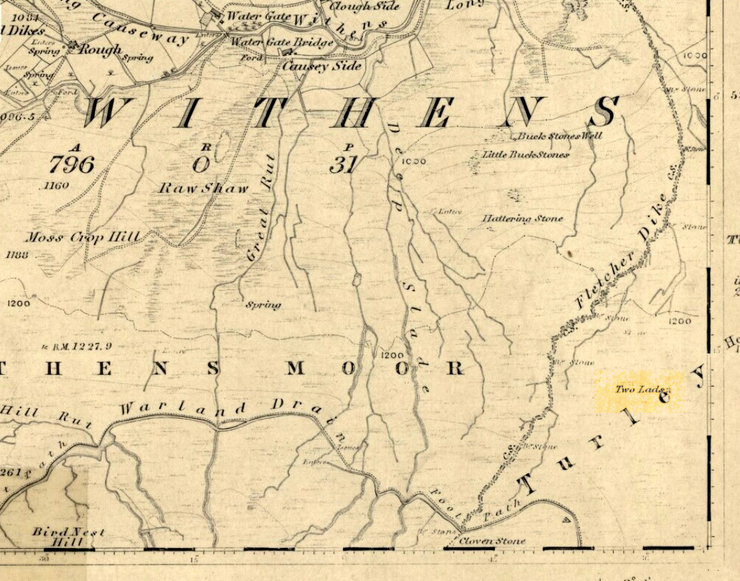
Cairns: OS Grid Reference – SD 98394 22116
Best way here is, from Mytholmroyd go up the Cragg Vale road for a coupla miles, then turn right and heading down, then up, towards Withens Clough reservoir. Once there, walk onto the moor to your left (south) until you’re on the ridge above you. Keep walking until y’ see the rocky cairn-like creatures stood in isolation on a flat moorland plain.
Archaeology & History

Truly weird spot this one, but I love it! Seemingly miles from anywhere, it’s one helluva walk to most folk, but utterly worthwhile when your arrive. On a clear day you can see for miles and the landscape is adorable! On a cloudy rainy day, the feel of the place changes if you take care to stay with the site, saturated, meditating (as no other people ever turn up when She’s like that – so you and the place get the best from each other!).
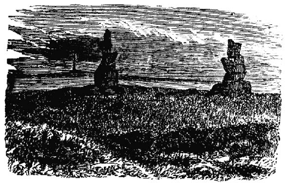
The site comprises of two boulders, each crowned with a cairn of stones. The westernmost one of the two (SD 98392 22111) is intriguing as it has, carved upon the rock beneath the stone cairn on the northwestern edge of the stone, what looks like a singular cup-marking, plus a large water-worn bowl on its northern edge, and a very distinct deeply-cut cross-base, several inches deep, near the northeastern corner of the rock. This cross-base seems slightly more rectangular in form than square; although the large covering of stones makes an accurate ascription difficult. If this cross-base and cup-markings are authentic, we would have here a clear example of the christianization of a previously heathen site.
A cursory examination of the easternmost of the Two Lads (SD 98397 22117) doesn’t indicate any artificial workings on the rock surface.

Although the two ‘cairns’ on top of these two rocks are not prehistoric in nature, about 20 yards behind the Two Lads (south) may once have been the severely denuded remains of a once large prehistoric cairn. Although the position in the landscape is perfect for such a construction, this is somewhat tentative, it’s gotta be said! Further examinations are obviously necessary here.
The studious A.H. Smith (1961-63) believes that a field-name record from 1624, describing some ‘Lad Stones’ in the parish of Heptonstall relates to this site. We know with certainty however, that this site was first illustrated on Greenwood’s 1771 map of Yorkshire, then highlighted on more recent 19th century Ordnance Survey maps as ‘cairns.’
Folklore

The creation myth behind this place is that two lads were walking over the moor in midwinter and got caught in a blizzard. Losing all sense of visibility they tried to shelter from the wind and snow by hiding behind these rocks, but perished. Sometime later their bodies were found and the curious “cairn” of rocks were mounted onto the boulders to mark where they’d died. This is a folktale we find at many other old stone remains on the hilltops of northern England and Scotland.
The Two Lads seems to be very close to a midwinter alignment (or izzit a lunar standstill line?), linking it with the huge Rudstoop Standing Stone and, eventually, Robin Hood’s Penny Stone on Midgley Moor – which might be the root of the folktale. (i.e. midwinter, snow, death) Any archaeoastronomy buffs out there wanna check this one out? Then we can confirm or dismiss it.
References:
- Anonymous, “The ‘Two Lads’, Withens Moor,” in Todmorden & Hebden Bridge Historical Almanack, T. Dawson: Todmorden 1877.
- Bennett, Paul, The Old Stones of Elmet, Capall Bann: Milverton 2001.
- Smith, A.H., The Place-Names of the West Riding of Yorkshire, Cambridge University Press 1961-63.
© Paul Bennett, The Northern Antiquarian
The map could not be loaded. Please contact the site owner.