Enclosure: OS Grid Reference – SE 051 501

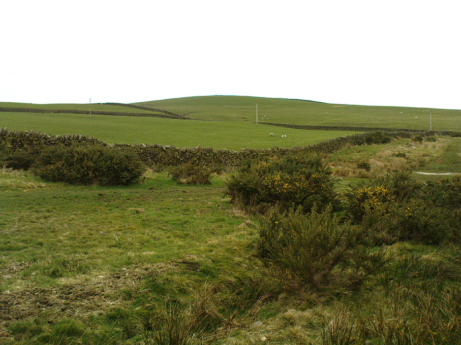
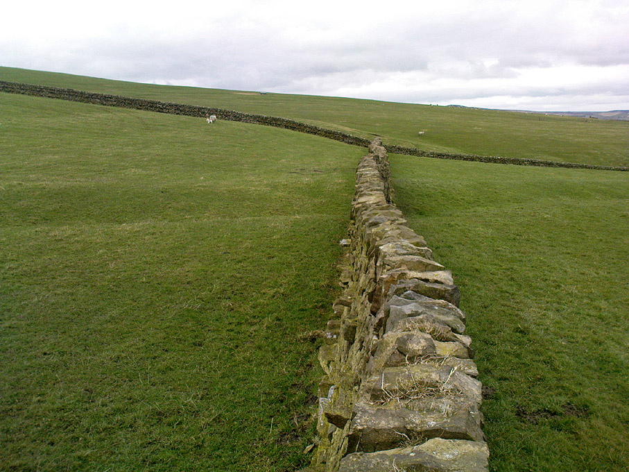
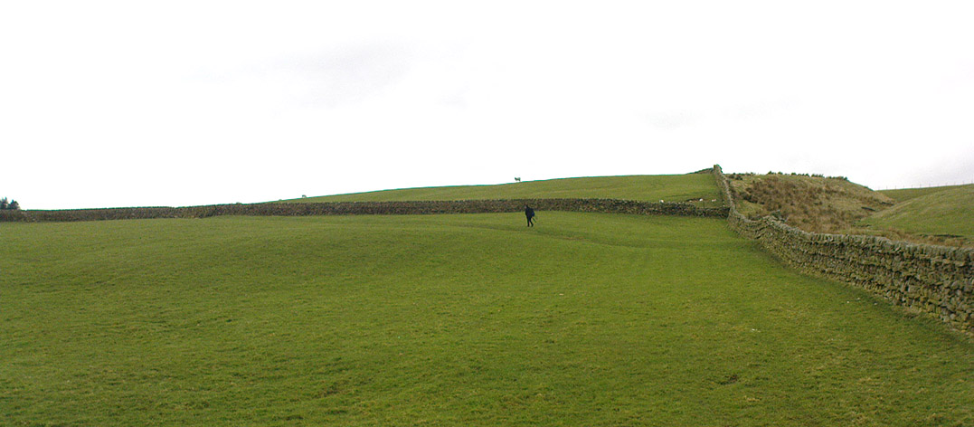
You can come from various angles to approach this site, but I reckon the best is from along the old trackway of Parson’s Lane, between Addingham and Marchup. From Silsden go up the long hill (A6034) towards Addingham until the hill levels out, then turn left on Cringles Lane (keep your eyes peeled!) for about 500 yards until you reach the Millenium Way or Parson’s Lane track, to your right. As you walk along this usually boggy old track, the rounded green hill ahead, to the left, if where you’re heading. Less than 100 yards past the little tumulus of High Marchup there’s a stile on your left that takes you into the field. You’ll notice the depression that runs across near the top, at an angle. That’s part of the earthworks!
Archaeology & History
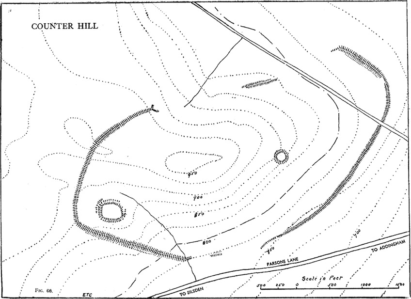
The Counter Hill earthworks just over the far western edge of Rombald’s Moor – thought to be Iron Age – are truly gigantic. More than ¾-mile across along its longest NW-SE axis, and a half-mile from north-south at its widest point, this huge ellipse-shaped earthwork surrounds the rounded peaked hill that gives the site its name: Counter Hill. And although Harry Speight (1900) thought the hill got its name from the old Celtic conaltradh, or Irish conaltra, as in the ‘hill of debate or conversation’ — a possibility — the place-name master Mr Smith (1961) reckoned its name comes from little other than ‘cow turd hill’! We may never know for sure…


The Lancashire historian Thomas Dunham Whitaker (1878) appears to have been one of the first people to describe the Counter Hill remains, though due to the sheer size of the encampment he thought that it was Roman in nature. Within the huge enclosure we also find two large inner enclosures, known as the Round Dikes and the Marchup earthworks. Whitaker’s description of Counter Hill told:
“There are two encampments, on different sides of the hill, about half a mile from each other: one in the township of Addingham, the other in the parish of Kildwick; the first commanding a direct view of Wharfedale, the second an oblique one of Airedale; but though invisible to each other, both look down aslant upon Castleburg (Nesfield) and Ilkley. Within the camp on Addingham Moor are a tumulus and a perennial spring; but by a position very unusual in such encampments, it is commanded on the west by a higher ground, rising immediately from the foss. The inconvenience, however, is remedied by an expedient altogether new, so far as I have observed, in Roman castramentation, which is a line of circumvallation, enclosing both camps, and surround the whole hill: an area, probably, of 200 acres. A garrison calculated for the defence of such an outline must have been nothing less than an army. But it would be of great use in confining the horses and other cattle necessary for the soldiers’ use, which, in the unenclosed state of the country at the time, might otherwise have wandered many miles without interruption. The outlines of these remains is very irregular; it is well known, however, that in their summer encampments the Romans were far from confining themselves to a quadrangular figure, and when we consider their situation near the Street, and the anxious attention with which they have been placed, so as to be in view of Ilkley or Castleburg, there can be little danger of a mistake in ascribing them to that people.”

And though Whitaker’s sincerity and carefully worded logic for the period is quite erudite (much moreso than the greater majority of historians in modern times), his proclamation of the Counter Hill earthworks as Roman is very probably wrong (soz Tom). The embankments are much more probably Iron Age in nature and are very probably the result of indigenous tribal-folk than that of the incoming Romans. Most modern archaeologists and historians tend to see the entrenchments as being from such a period and I have to concur.
Folklore
The old antiquarian Edmund Bogg (1904) wrote that the Counter Hill earthworks were built as a result “of the struggle between the Anglians and the Celt,” long ago. The great Yorkshire historian Harry Speight (1900) narrated similar lore just a few years earlier, but told that the tradition was “of how the Romans drove the natives from this commanding site of Counter Hill.”
References:
- Bogg, Edmund, Higher Wharfeland: The Dale of Romance, James Miles: Leeds 1904.
- Cowling, Eric T., Rombald’s Way, William Walker: Otley 1946.
- Fletcher, J.S., A Pictureseque History of Yorkshire – Part IX, J.M. Dent: London 1901.
- Smith, A.H., The Place-Names of the West Riding of Yorkshire – volume 6, Cambridge University Press 1961.
- Speight, Harry, Upper Wharfedale, Elliott Stock: London 1900.
- Whitaker, T.D., The History and Antiquities of the Deanery of Craven, 3rd edition, Joseph Dodgson: Leeds 1878.
© Paul Bennett, The Northern Antiquarian
The map could not be loaded. Please contact the site owner.
We have a number of sites here, including Horse Close Hill, that cluster to the south of the Roman road between the Roman forts of Elslack and Ilkley.
Addingham was the site of a Bishop’s Palace in Anglo-Saxon times.
The Roman road passed through Addingham (Street Farm SD 078 491)
To the east of Addingham we have Castleberg Fort.
I may be a good idea to put these sites in some form of context instead of isolated form.
Only an idea.
Carry on the good work – john
Just found this:-
‘Upon Addingham Moor two probably non-defensive oval earthworks are to be found, being known as Round Dykes and Woofa Bank. Both sites are overlooked by the surrounding steep terrain. The earthworks are bounded by a linear bank to which they are thought not to be related, though according to the Ordnance Survey, the earthwork at Woofa Bank could be a boundary earthwork contemporary with this enclosure. The interior of Woofa Bank enclosure is above the surrounding land surface, as at Catstones Ring enclosure above Bingley (SE 0680 3808).
A limited survey of parts of Round Dykes defined nine hut circles or parts of circles and possible hearth sites. Both earthworks require a full further survey for the ground evidence to be evident. Both sites are ascribed to the pre-Roman period, but the tumuli at Ronund Dykes are seen to be Bronze Age in origin. The tumulus on the trackway below Woofa Bank is a typical ring/bowl barrow, again ascribed to the Bronze Age.
All the mounds have been wantonly disturbed, and perhaps robbed, by treasure hunters.
The only tangible find in the area was a bronze spearhed discovered at the Addingham end of Parson’s Lane.’ 1987
Near to these sites we have the place-name ‘Walton Hole’
Addingham had an Archbishop’s (York) Palace, not a Bishop’s as I said above. In 867 Archbishop Wulfhere sought refuge here from the Danes, and in 950 Abbot Cadrow – the leading Pictish churchman of his age – visited the Palace en-route for York.
For more see: JOURNEYS THROUGH BRIGANTIA Vol 1 1989
“Cow Turd Hill” LOL – actually, not sure about that as we all call them cowclaps in Yorkshire don’t we?
Us Bratf’d neanderthals have always always called ’em “cow-pats”. lol
Ah but Bradford folk are townies