Ring Cairn: OS Grid Reference – SK 27535 80800
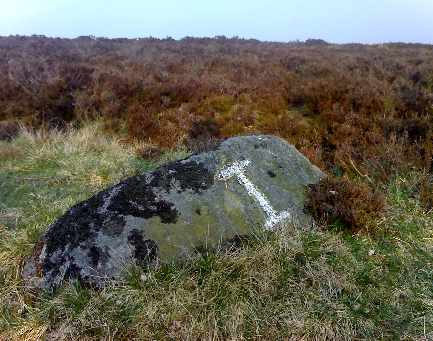
Located just off Hathersage Road, by Parsons House outdoor pursuits centre with parking in a roadside layby. Don’t Park at Parsons House – they won’t like it! Head up the old road besides Parsons house and take the entrance onto the moor about 100 metres past the pursuits centre track. If memory serves me correct, it’s by the second wall on the right. Follow the post-and-mesh fence to the end of the wall and turn right, following the wall for around 70 metres down hill and you’ll be able to see the cairn’s bank before you in the heather. The stone pictured lays in the banking by the entrance which faces NNW.
History and Archaeology.
There’s no excavation taken place here that I know of, but the site is well known and mentioned in an old report I found Here. The article also contains an old map of the area showing the site.
Also mention is made of a stone referred to as the Fingeram stone. There is a stone laid flat in the position marked on the map, but I’m unsure whether it’s the standing stone mentioned. According to the old text the ring cairn has a diameter between 83ft and 95ft. Directly to the north and roughly 50 metres onto the moor, in line with the wall, is an interesting egg-shaped and weather-worn boulder that’s also worth a look at. This whole area is a sea of sandstone.
© Geoff Watson, The Northern Antiquarian
The map could not be loaded. Please contact the site owner.
