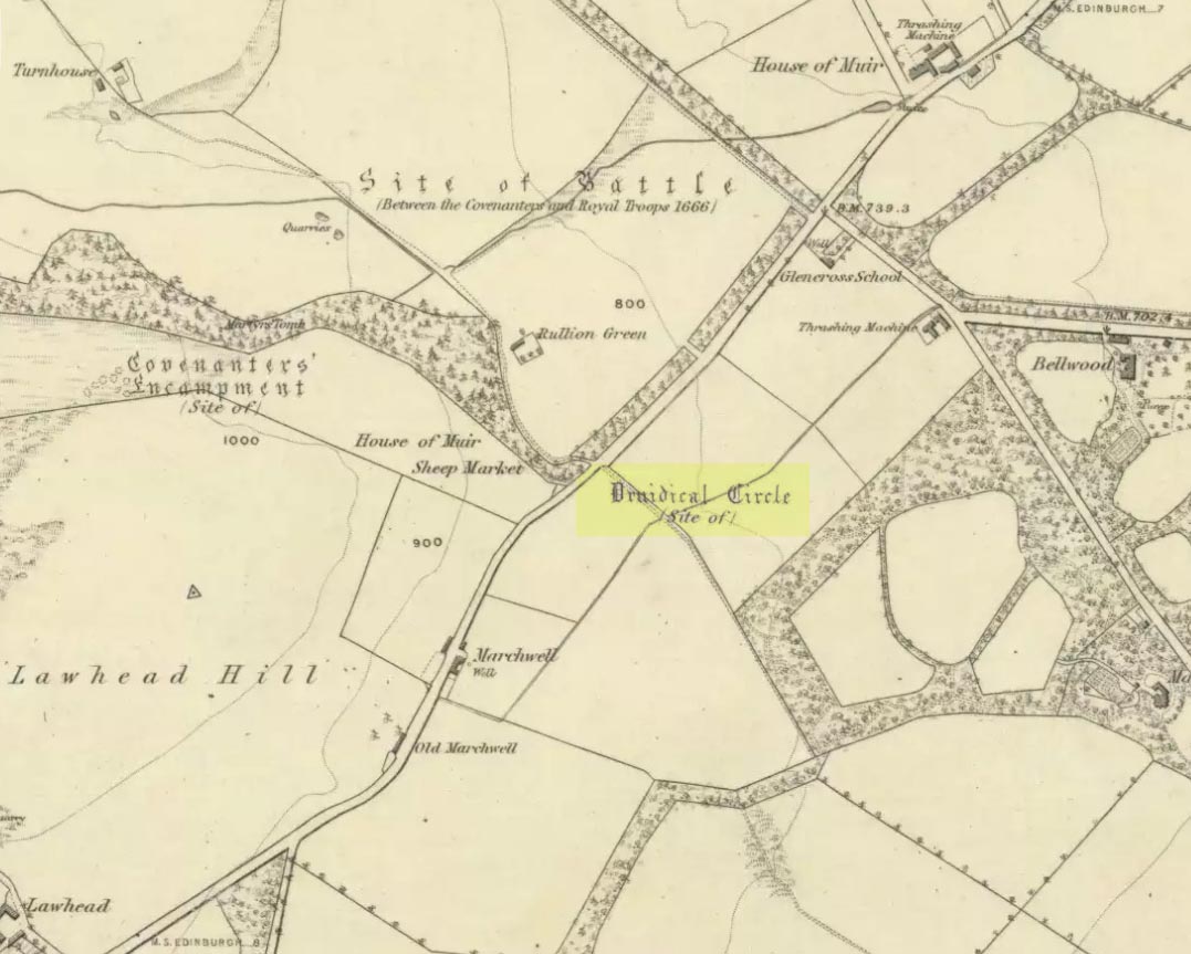
Stone Circle (destroyed): OS Grid Reference – NT 2264 6212
Also known as:
- Canmore ID 51863
- Rullion Green

Sadly gone, there have been several literary reports of this once fine megalithic ring. It was to be seen “on the right hand side of the main roadway from Edinburgh to Carlops, as it approaches the farm of Marchwell.” When the site was described by the Scottish Royal Commission in 1929, some of the stones were apparently still standing. They described it as occupying a site “at an elevation of between 800 and 900 feet above sea-level,” but told that the main reason for its destruction appeared “that it was broken up by the making of the highway, which cuts the knoll on its east side.” They continued:
“Two of the stones, showing a height of about 15 inches above ground, remain in their original positions, while five others lying in close proximity are probably units that have been moved. These five blocks, which are not earth-fast, are of similar character to the two remaining in situ, and all seven, judging from their basaltic character, appear to have been brought from a distance.”
A brief account of the circle in the 1845 New Statistical Account description of the Glencorse parish told that the site was 40 feet in diameter. In 1941, two fragments of a food vessel were found in close proximity to where the circle had been; and in a visit here in 1970 by members of Ordnance Survey, two possible monoliths were reported in the walling which they thought might have originally come from the stone circle. Unfortunately I’ve not been able to locate any early drawings or photos of the site – yet!
References:
- Royal Commission on the Ancient & Historical Monuments & Constructions of Scotland, Midlothian and West Lothian, HMSO: Edinburgh 1929.
© Paul Bennett, The Northern Antiquarian
The map could not be loaded. Please contact the site owner.