Cairn: OS Grid Reference – SD 77907 39357
Also known as:
- Apronful of Stones

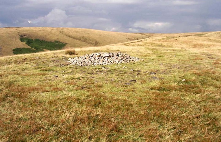
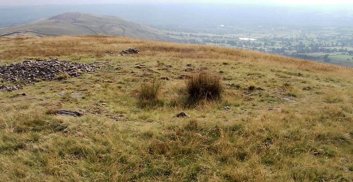
Many ways to get here, but the easiest for those with cars to is park up on the southeast edge of the hill, at the various scruffy parking bits beside the road at the Nick of Pendle. The view from here is enough to get you going! Walk onto the great hill up to the rounded pap of Apronfull Hill (rather gives it away really!). It’s only a few hundred yards up – about 10 mins up the slope from the road, with awesome views all round once you get there. Tis the small guidance cairn you’re looking at just on the level. You’re there!
Archaeology & History
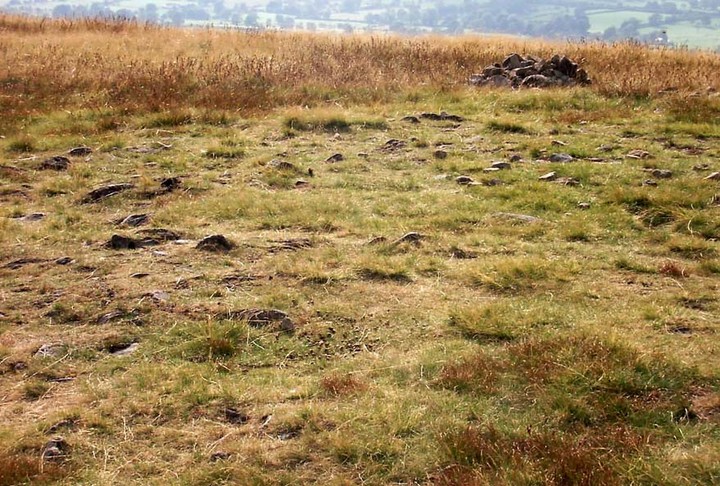
This would once have been a rather huge cairn/tomb — though when I first found the remains of this place in August 2006, there were no archaeological records describing it that I could find. But there’s very little left of it. The lads who did the quarrying further downhill (where you’ve probably parked your car) are likely to have been the culprits who nicked most of the rocks that once made this huge forgotten tomb. But as you potter about here, it becomes obvious that you’re standing on the much-denuded remains of just such a monument (very similar in size and structure to the more famous Little Skirtful and Great Skirtful of Stones on Burley Moor, or Black Hill round cairn near Skipton). But the remains you can see beneath your feet still give a good idea as to how large it was.

You’ll see once you’re stood here that there are hundreds, maybe even several thousands of stones just on and below the ground, scattering a very well-defined roughly circular area measuring at least 21 yards (east-west) by 22 yards (north-south), right by the side of the path. The edges of this ransacked cairn are pretty well defined around the north and eastern sides. Near the centre of the old structure is a very notable ‘dip’ in the ground where it looks as if something has been dug away — though this could just as well be due to the presence of underground water, as indicated by the growth of Juncus grasses. Without an excavation it’s obviously difficult to tell.
Folklore
Twas the following tale which first led my nose to explore this part of Pendle hill. It’s a tale we find at many of our upland tombs, though the record books said there was nowt here! (any myopic archaeologists out there who reckon that folklore has no relevance to their subject, educate one’s self!)

The Devil was having trouble with the folk at Clitheroe Castle (a few miles west) and wanted rid of it. So he picked up various large stones and put them in his apron then threw them towards the castle. Most of them missed, which made him angry and in a rage he accidentally dropped a great pile of rocks on the south side of Pendle Hill, creating the Devil’s Apronful on Apronfull Hill.
In another tale he was said to have stood at the Deer Stones a few hundred yards east of here and threw rocks from there. Perhaps a folk-remnant of where the Apronful stones once came from…? Perhaps not.
Jessica Lofthouse (1976) notes how this old spot was long known by local people as the Devil’s Apronful.
References:
- Lofthouse, Jessica, North-Country Folklore, Hale: London 1976.
© Paul Bennett, The Northern Antiquarian
The map could not be loaded. Please contact the site owner.
This ring of stones stands upon the highest point of Pendleton Moor by the pathway that leads from the Nick of Pendle to the summit. The site is now recognised as a Bronze Age ring bank cairn, a paved outer ring with a central cairn of loose stones. Due to natural erosion and the absence of the build up of peat, this feature can clearly be discerned at ground level. No excavation of the site has been made to date.
THREE PENDLE SITES LINKED BY FOLKLORE
“… On Craggs Farm (now in ruin), near Sabden, on the sloping side of Pendle, is a mass of sandstone rocks that have fallen down from the scar above (Deerstones quarry). On one of these stones are two marks, side by side, about 2ft 6ins long and about 6ins wide (SD 786 393).
They certainly resemble gigantic footmarks, and are said to be that of the Devil’s. ‘Old Scrat’, however, when he alighted upon this stone, he must have crossed his legs, as the left footprint is on the right side. The outline of one foot is perfect, but the other is ill-formed, which is, however, easily explained, as it is well known the Devil has a club foot.
The legend is that the Devil was one day coming with an apronful of stones for the purpose of knocking down Clitheroe Castle. He stepped from Hambeldon Hill to Craggs, where he left the footprints before refered to. His next step was to ‘The Apronful’ (SD 779 393). Here, being in view of the castle, he took one of the stones and threw it at the castle, but as he was in the act of throwing his ‘brat string’ broke, and all the stones he was carrying were tumbled on the ground. The stone which he threw fell short of the mark, and may still be seen lying on the ground just above Pendleton (SD 761 394), with some marks upon it, which said to be the print of his fingers.”
W Self Weeks, 1917. ‘Some legendary stories and folklore of the Clitheroe district.’p.86. TLCAS 34.
Recent research suggests that the ‘Devil’ tale may relate to Bregans, consort of the river goddess Brigantia. Bregans(the High One – ‘BREGANTIS’) is dipicted in a goats horns head dress – See CAMBODUNUM (Slack) SD 084 176
More to Follow – j