Tumulus?: OS Grid Reference – SE 04422 35130

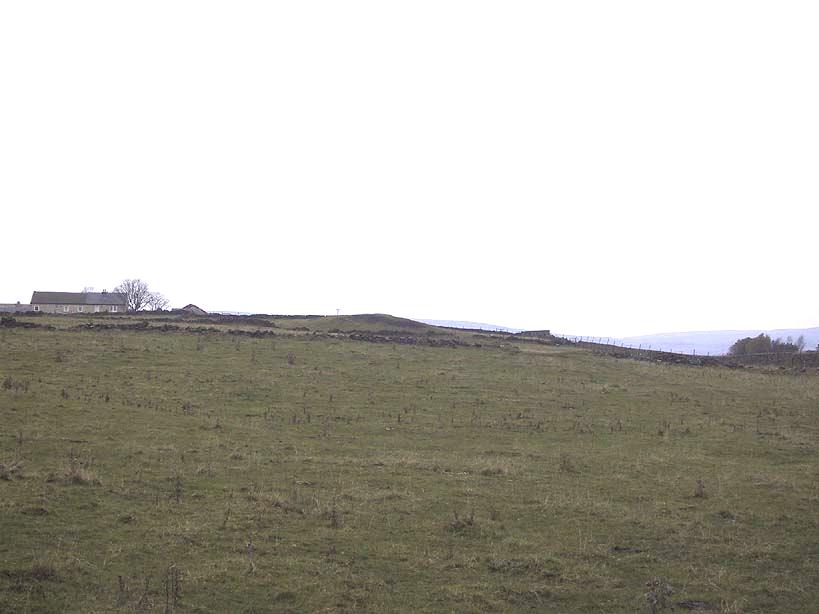
Go along the B6141 from Denholme to Oxenhope, turning right just by the bend which drops into Oxenhope, and head along the small road to Upwood Park camping site. Just before here is the Grange Park Animal sanctuary. Ask there to walk onto the field behind, where you’ll see a rise in the land, as you can see on the rather poor photo I took from the east-side.
Archaeology & History
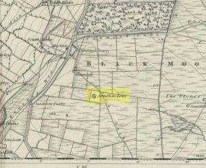
Although ascribed on early OS-maps as a tumulus (and still shown as an antiquity on the modern ones), this site appears to be simply the end-point along a geological ridge, starting a few hundred yards east of here, consisting of an upsurge of rocks covered in earth and nothing more. A survey of the place done by Bellamy in 1970 (Yorkshire Archaeological Journal, 42:6, 1970) seems to indicate the same. To those who want to test the theory, start by exploring it from Cullingworth Moor and walk along the ridge itself. It seems pretty clear.

The “antiquarian” element to the site seems to originate in its positioning in the landscape. Armshaw Lowe is on the topmost point of the hills hereabouts, with 360-degree views all round, commanding excellent sights all round. But it’s perhaps the word ‘lowe’ that might be the important bit here, as in old english it can mean an old moot or meeting spot — which it may well have been for local tribes. It is may be this element that gives Armshaw Lowe its lingering antiquarian status.
Check it out for yourselves and see what y’ think. I went up here to see an old burial mound, but found only a decent geological feature atop of local hills. But me ‘n’ the archaeologists might be wrong…
References:
- Gomme, G.L., Primitive Folk-Moots; or Open-Air Assemblies in Britain, Sampson Low: London 1880.
© Paul Bennett, The Northern Antiquarian
The map could not be loaded. Please contact the site owner.