Healing Well: OS Grid Reference – SD 8695 4412

You’re a bit spoilt for choice in terms of how your reach this spot, high upon White Moor – which is south of Barnoldswick, west of Salterforth, northwest of Foulridge, north of Barrowford, or northeast of Blacko. Whichever route you end up taking, you’re going uphill onto the heights near Weets Hill – and find the old trackway which bisects White Moor and has the rather tell-tale name of Lister Well Road! It’s roughly halfway along the route, right by the trackside.
Archaeology & History

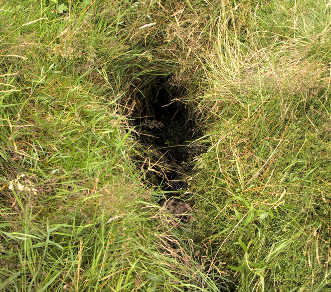
History and folklore here have long been silent (though I aint checked the Annals of Barrowford, which may prove useful). A local land-owner told us that the original trough had been uprooted a few decades back when the gas- or electricity-board (he can’t remember which) did some work hereabouts and uprooted the stone trough into which the waters ran and, for sometime, caused the complete destruction of the supply. But its waters eventually re-emerged from the Earth, trickling into the grassy drainage line on the southern-edge of the track before going under the wall and down the moorland slope.
If you like a good walkabout with good views to behold, get y’self up here and have an amble. Tis a damn fine place, with a lot of forgotten history embedded in the landscape.
© Paul Bennett, The Northern Antiquarian
The map could not be loaded. Please contact the site owner.
Lister Well Road
Some way along this old ‘occupation road’, being a track giving access to moorland enclosures, can be found the now dry cistern known as Lister Well. In former times local people would swear to the wells curative properties and is known to have been used for over 500 years, and may even have been a Holy Well in ancient times. The well takes its name from one John Lister, farmer at Brogden who enclosed land on White Moor after the 16th century Dissolution and dispersal of monastic lands by the English Crown.
During the 1980,s I took photos of the stone trough that was the Lister Well. From these the Trawden artist, Bob Mann (Middle Beardshaw Head Farm = a Bronze Age site found here/also Camping Barn, B&B & camping) made drawings of the well. These can be seen in ‘HISTORIC WALKS AROUND THE PENDLE WAY’ John Dixon & Bob Mann, AUSSTEIGER, 1990.
The waters from the well form one of the feeds for Whitemoor Reseroir on Standing Stone Lane where the ‘Lark Hill’ standing stone can be found incorporated in a wall there.
To the south we find ‘Hobstones’ & ‘Burwain’, both suggesting ancient sites (see ‘Pendle Way’ book for more details).
Just below Lister Well is a raised hillock known as ‘Lad lowe’ (SD 875 443). The local farmer informed me that his grandfather told him that ‘some old bones in a broken pot’ were found by local antiquarians at this spot. I can find no record of this find.